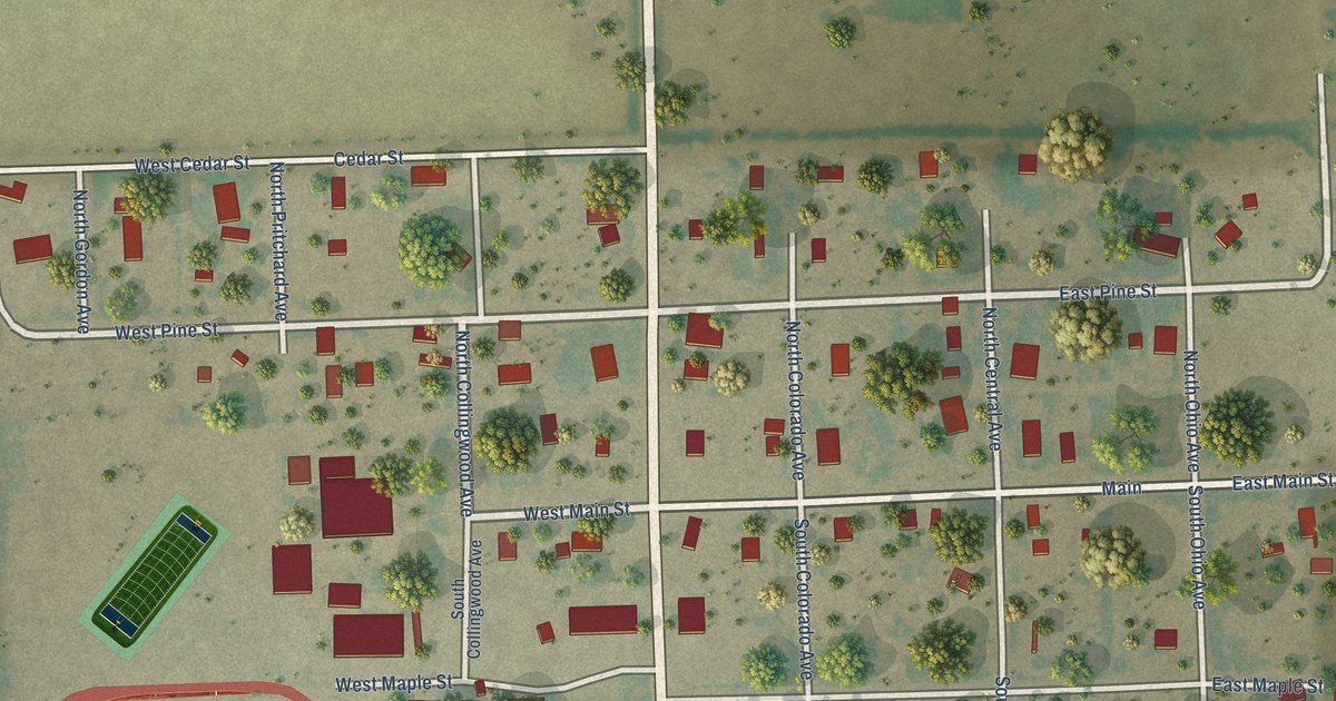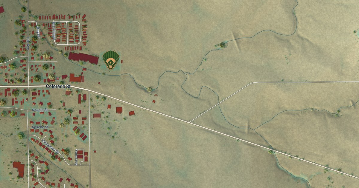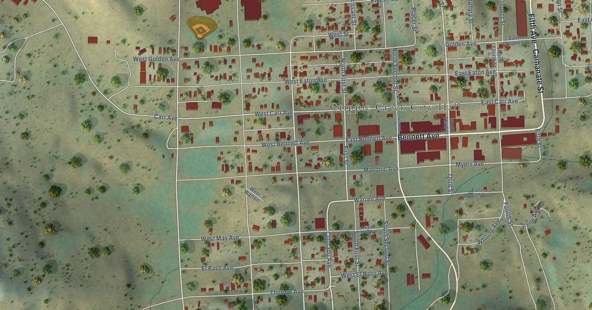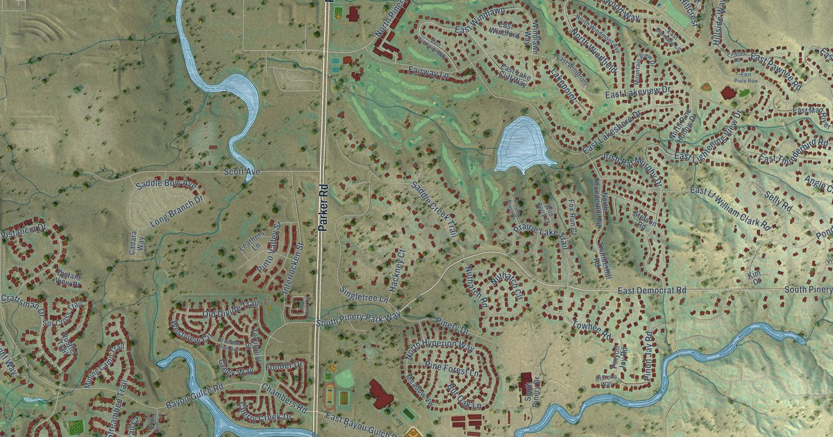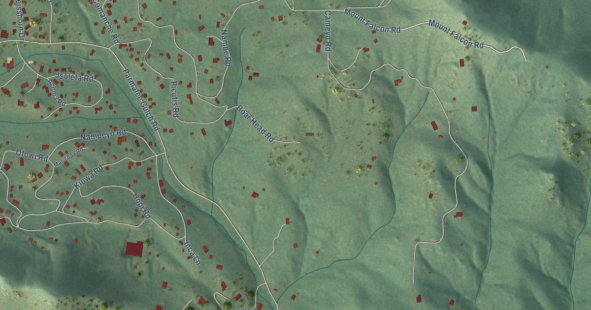
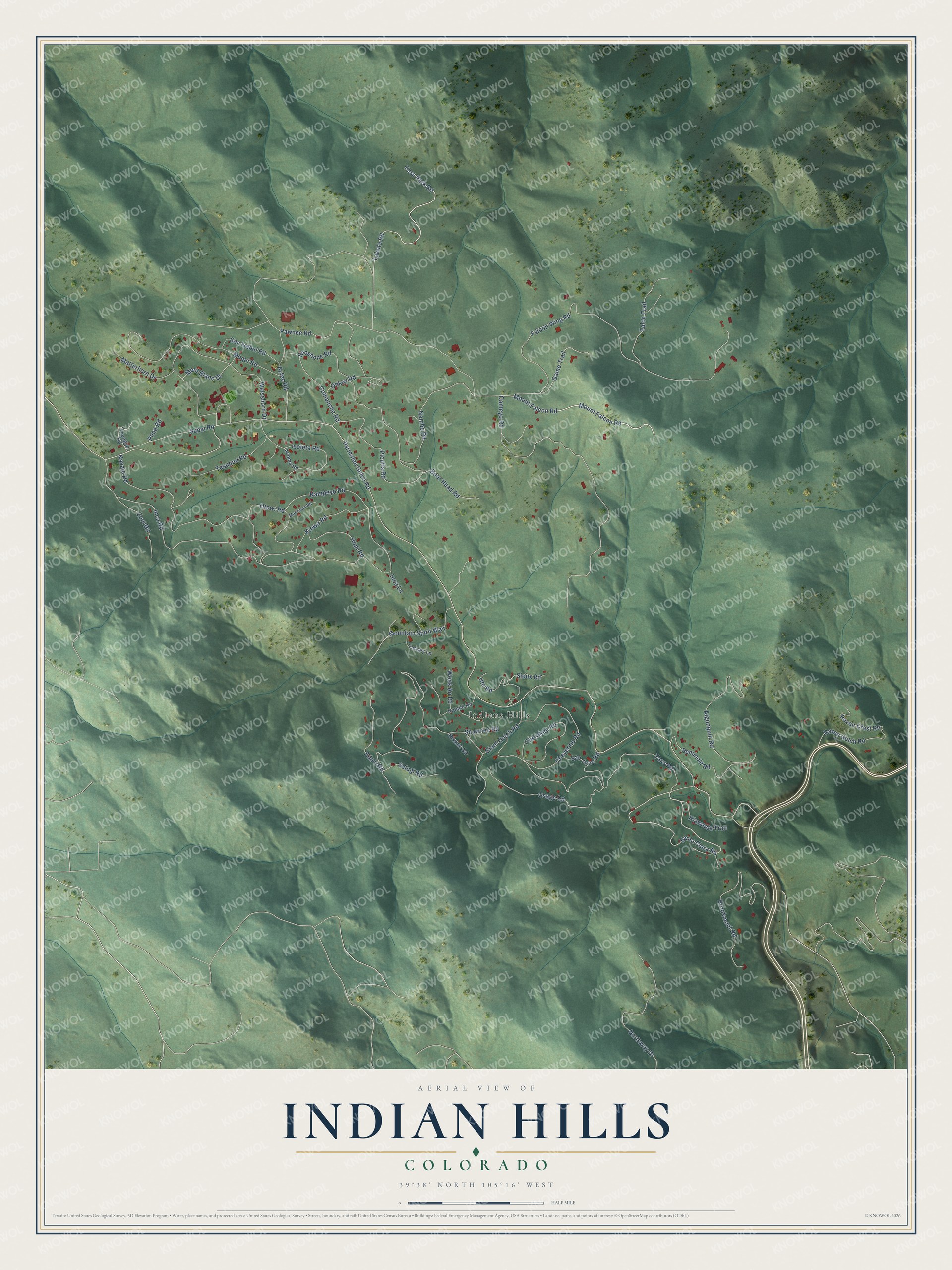
This beautifully detailed map of Indian Hills, Colorado was created in 2026 using aerial imagery combined with modern topographical, census, street and landmark data. It's a modern aerial view of Indian Hills in Jefferson County, Colorado, that combines modern data with a vintage aesthetic. The roads feature printed names, and if you look closely you can find your exact house accurately shown in its correct location.
Explore an aerial view of Indian Hills, Colorado
On this map you'll find Indians Hills, Lakota Road, Mount Falcon Road, Santa Clara Road, Parmalee Gulch Road, Inca Road, Falcon Wing Road, Shawnee Road, Cameyo Road, Picutis Road, Taos Road, Navajo Road, and more. Each red shape is a building, so zoom in on the preview and look for yours.
Indian Hills is a community in Jefferson County. The Census Bureau counted 1,474 people here in 2020. Indian Hills sits about 2 miles west of Morrison, 3 miles south of Idledale and 4 miles southeast of Kittredge. The map prints the town name in its title panel, with the coordinates below it.
Take a closer look at the Indian Hills map
Names on this map
These names are printed on this map.
Places: Indians Hills.
Streets and roads: Lakota Road, Mount Falcon Road, Santa Clara Road, Parmalee Gulch Road, Inca Road, Falcon Wing Road, Shawnee Road, Cameyo Road, Picutis Road, Taos Road, Navajo Road, Brookmont Road.
More street names, A to Z
Acoma Road, Adahi Road, Algonquin Road, Aztec Road, Boar Head Road, Cherokee Road, Cheyenne Road, Comanche Road, Foss Park Road, Game Trail, Giant Gulch Road, Hiawatha Trail, Hopi Road, Inca Lane, Isoleta Road, Kiowa Road, Maricopa Road, Matterhorn Drive, Mont Blanc Drive, Moqui Road, Mountain Spirit Way, Nambe Road, Nampeyo Road, Natsihi Road, Nissaki Road, Northway Drive, Ohkay Road, Osage Road, Otowi Road, Pawnee Road, Pima Road, Raven Crest Road, Raven Gulch Road, Salugi Road, San Isabel Road, San Juan Road, Seminole Road, Shoshone Road, Sioux Road, Supai Road, Talon Trail, Tansey Lane, Tesuque Road, Toungue Road, Ute Road, Week An Road, Weisshorn Drive, Zuni Road.
See it on a wall
The Indian Hills map as a framed print. Swipe for more.


Created by KNOWOL in 2026. The buildings are small red shapes, the roads carry their printed names, and shaded relief shows the shape of the land. The title panel reads "AERIAL VIEW OF INDIAN HILLS, COLORADO" with 39°38' NORTH 105°16' WEST.
It looks right in a kitchen, an office or a den, and it's a gift for anyone who grew up in Indian Hills or moved away. Open the preview and find your street. See sizes and frames for the Indian Hills map.