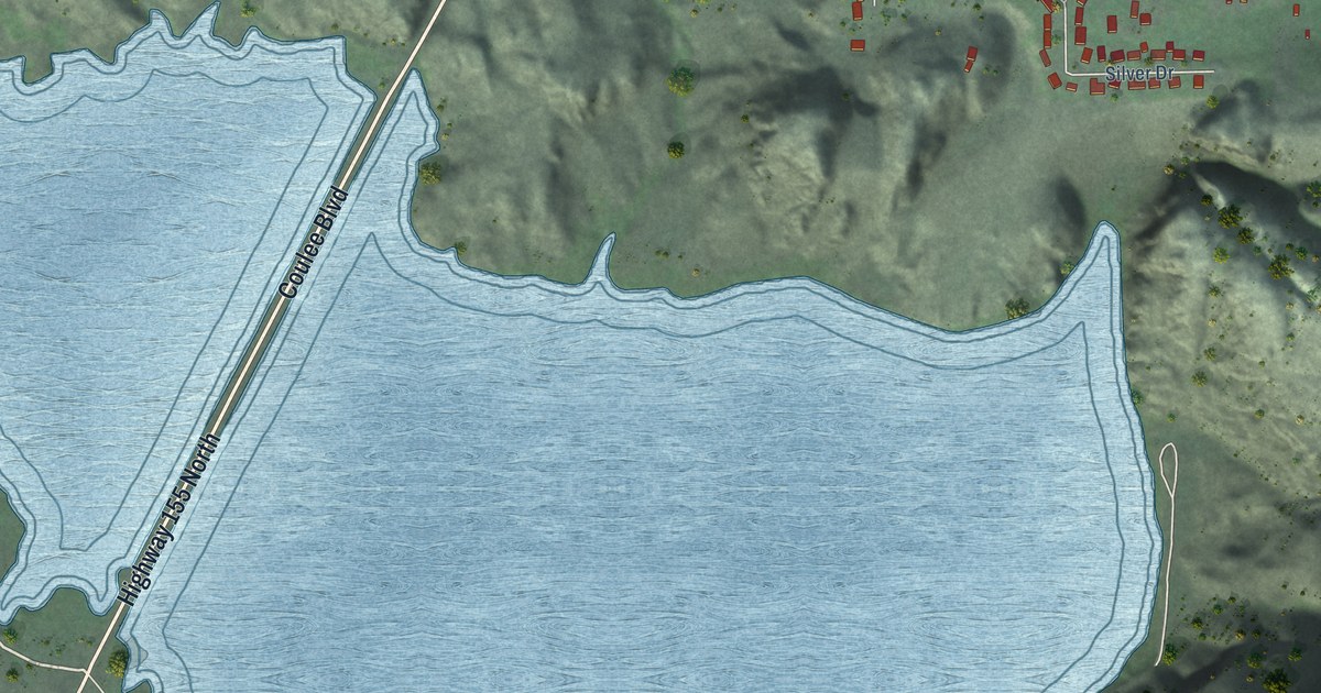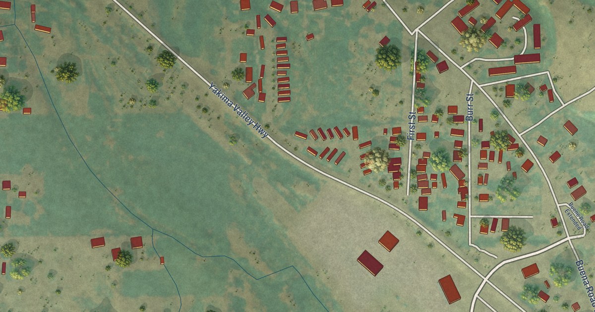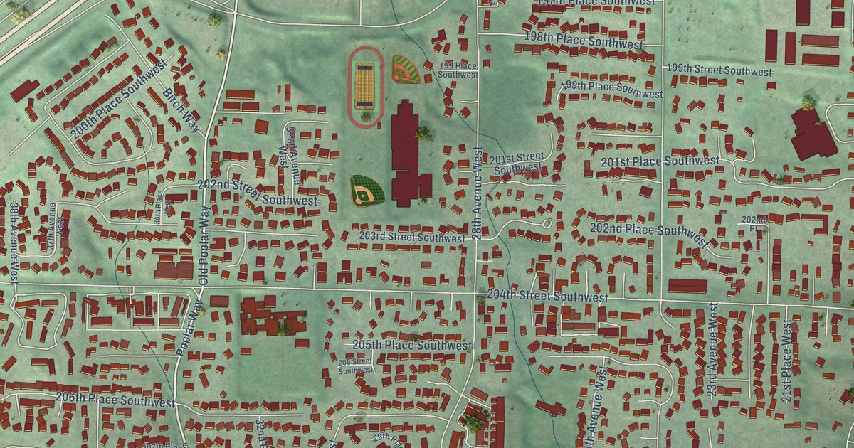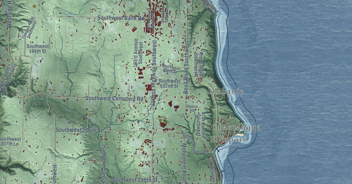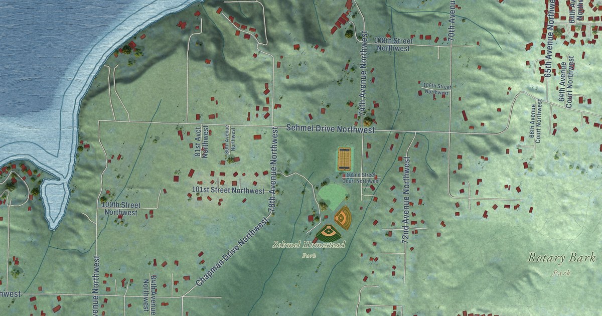
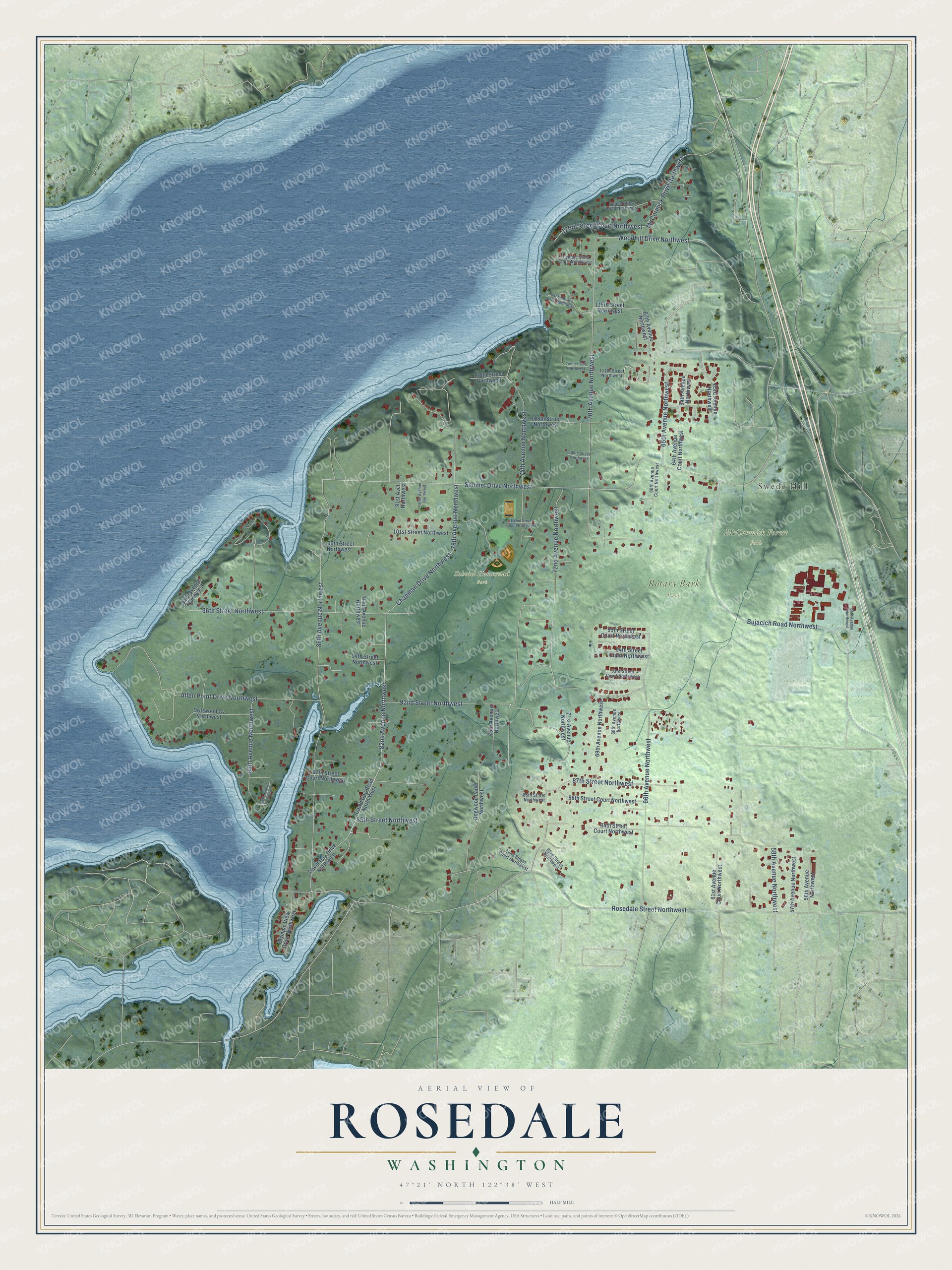
This beautifully detailed map of Rosedale, Washington was created in 2026 using aerial imagery combined with modern topographical, census, street and landmark data. It's a modern aerial view of Rosedale in Pierce County, Washington, that combines modern data with a vintage aesthetic. The roads feature printed names, and if you look closely you can find your exact house accurately shown in its correct location.
Explore an aerial view of Rosedale, Washington
On this map you'll find McCormick Forest Park, Rotary Bark Park, Sehmel Homestead Park, Swede Hill, 82nd Avenue Northwest, 72nd Avenue Northwest, Chapman Drive Northwest, Rosedale Street Northwest, Sehmel Drive Northwest, 86th Avenue Northwest, 74th Avenue Northwest, 66th Avenue Northwest, and more. Each red shape is a building, so zoom in on the preview and look for yours.
Rosedale is a community in Pierce County. The Census Bureau counted 4,357 people here in 2020. Rosedale sits about 2 miles west of Gig Harbor, 2 miles northeast of Raft Island and 3 miles north of Artondale. The map prints the town name in its title panel, with the coordinates below it.
Take a closer look at the Rosedale map
Names on this map
These names are printed on this map.
Places: McCormick Forest Park, Rotary Bark Park, Sehmel Homestead Park and Swede Hill.
Streets and roads: 82nd Avenue Northwest, 72nd Avenue Northwest, Chapman Drive Northwest, Rosedale Street Northwest, Sehmel Drive Northwest, 86th Avenue Northwest, 74th Avenue Northwest, 66th Avenue Northwest, 70th Avenue Northwest, 96th Street Northwest, 92nd Street Northwest, Bujacich Road Northwest.
More street names, A to Z
54th Avenue Northwest, 56th Avenue Northwest, 57th Avenue Northwest, 58th Avenue Northwest, 61st Avenue Court Northwest, 63rd Avenue Northwest, 64th Avenue Court Northwest, 64th Avenue Northwest, 65th Avenue Northwest, 66th Avenue Court Northwest, 67th Avenue Northwest, 68th Avenue Northwest, 69th Avenue Northwest, 71st Avenue Northwest, 75th Avenue Northwest, 78th Avenue Northwest, 80th Avenue Northwest, 81st Avct Northwest, 82nd Street Court Northwest, 83rd Street Northwest, 84th Avenue Northwest, 84th Street Court Northwest, 85th Street Northwest, 86th Street Court Northwest, 86th Street Northwest, 87th Street Court Northwest, 87th Street Northwest, 89th Avenue Northwest, 90th Avenue Northwest, 93rd Street Court Northwest, 94th Avenue Northwest, 94th Street Court Northwest, 94th Street Northwest, 95th Street Court Northwest, 100th Street Northwest, 101st Street Northwest, 102nd Street Court Northwest, 106th Street Northwest, 108th Street Northwest, 110th Street Northwest, 111th Street Northwest, 115th Street Northwest, 120th Street Court Northwest, Allen Point Drive Northwest, David Day Drive Northwest, David Day Road North West, Dogwood Lane Northwest, Driftwood Cv Northwest, Marble Beach Road Northwest, McCormick Drive Northwest, Olympic View Drive Northwest, Olympic Vista Court Northwest, Sunset View Road Northwest, Timber Tide Northwest, Woodhill Drive Northwest.
See it on a wall
The Rosedale map as a framed print. Swipe for more.


Created by KNOWOL in 2026. The buildings are small red shapes, the roads carry their printed names, and shaded relief shows the shape of the land. The title panel reads "AERIAL VIEW OF ROSEDALE, WASHINGTON" with 47°21' NORTH 122°38' WEST.
It looks right in a kitchen, an office or a den, and it's a gift for anyone who grew up in Rosedale or moved away. Open the preview and find your street. See sizes and frames for the Rosedale map.