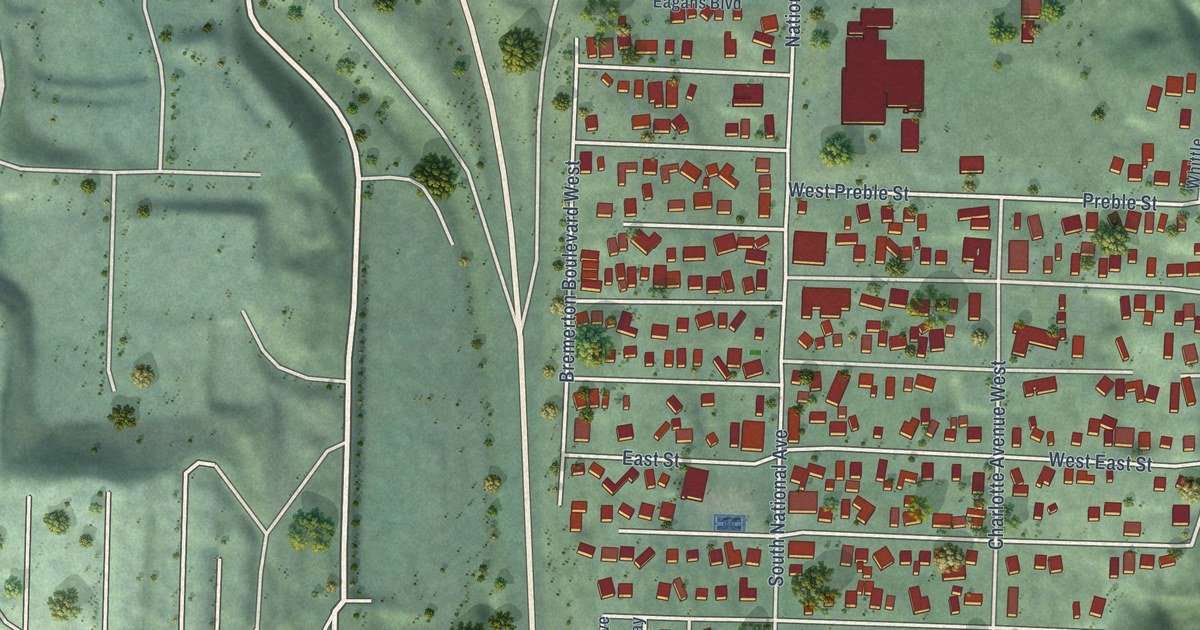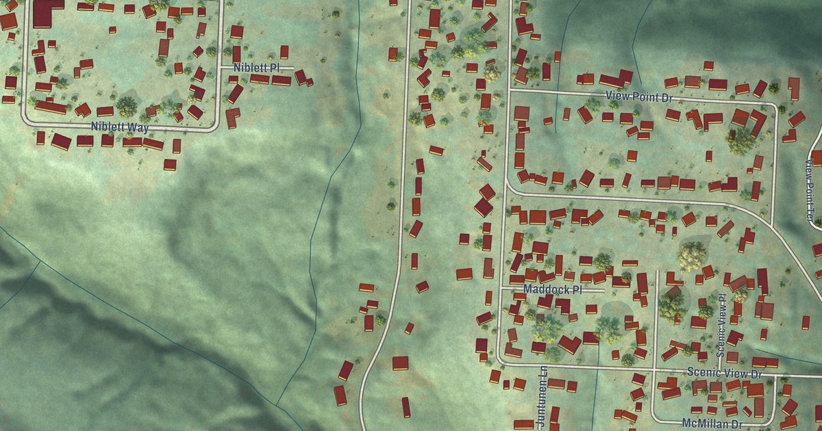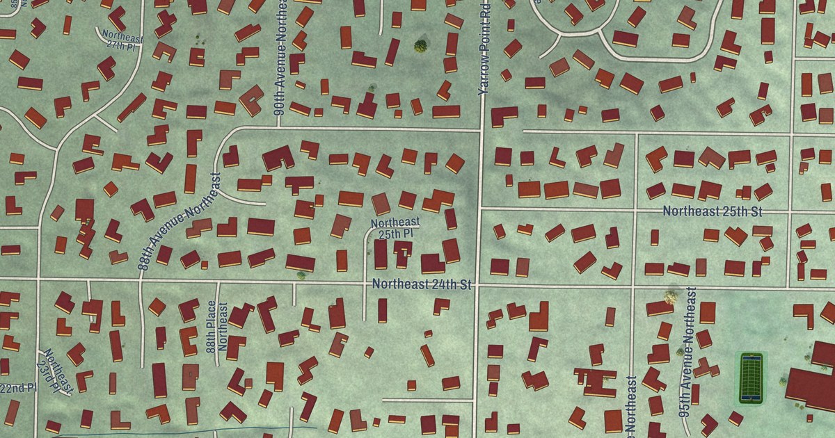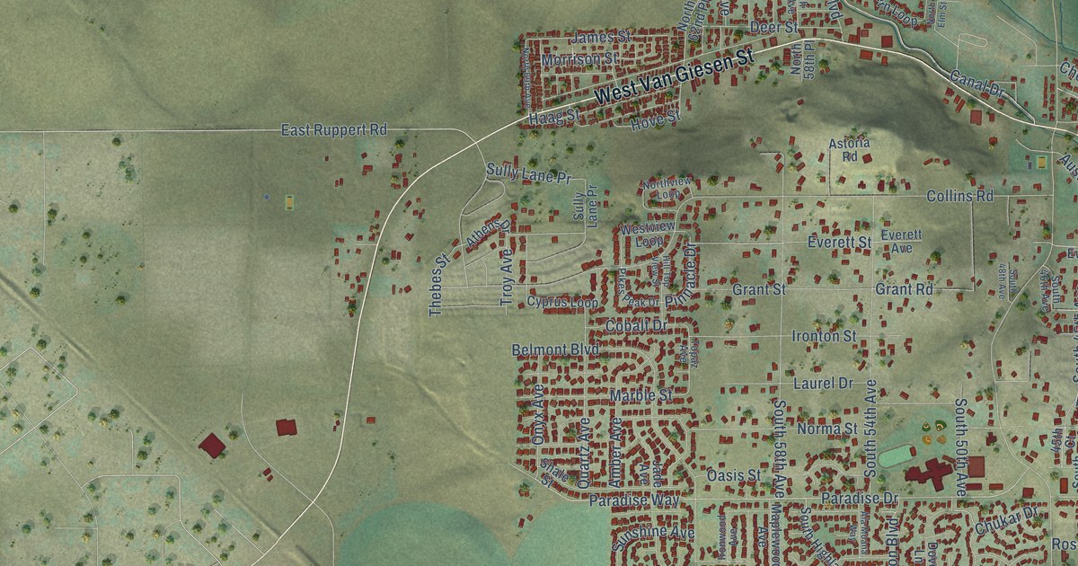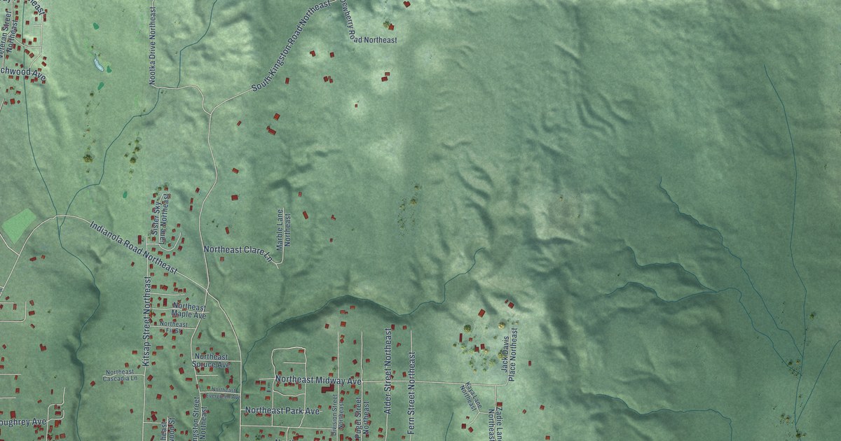
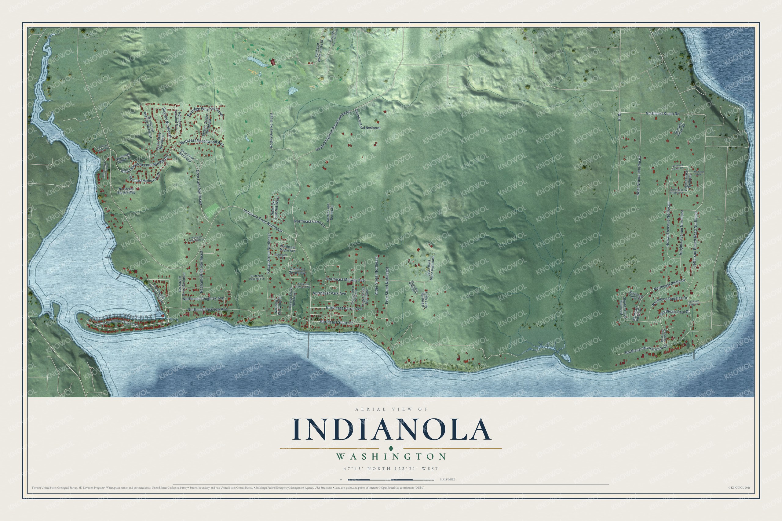
This beautifully detailed map of Indianola, Washington was created in 2026 using aerial imagery combined with modern topographical, census, street and landmark data. It’s a one-of-a-kind view of Indianola that combines accurate data with a vintage aesthetic. The map shows every building in its true location, many of the roads carry their names, and the shaded topographic relief shows the shape of the land.
Explore an aerial view of Indianola, Washington
On the map you’ll find Northeast Klabo Road, Indianola Road Northeast, Northeast Shore Drive, Jefferson Beach Road Northeast, Northeast Seaview Avenue, South Kingston Road Northeast, Northeast Midway Avenue, Beachwood Avenue Northeast, Northeast Beachwood Avenue, Orca Lane Northeast, Northeast Loughrey Avenue, Howard Avenue Northeast, and more. Indianola sits about 3 miles south of Kingston, 4 miles northeast of Suquamish and 6 miles east of Poulsbo. If you look closely you can even find your house accurately drawn in its correct location. Zoom in on the preview to look for yours.
Take a closer look at the Indianola map
Names on this map
These names are printed on this map.
Streets and roads: Northeast Klabo Road, Indianola Road Northeast, Northeast Shore Drive, Jefferson Beach Road Northeast, Northeast Seaview Avenue, South Kingston Road Northeast, Northeast Midway Avenue, Beachwood Avenue Northeast, Northeast Beachwood Avenue, Orca Lane Northeast, Northeast Loughrey Avenue, Howard Avenue Northeast.
More street names, A to Z
Alder Street Northeast, Apollo Drive Northeast, Brambly Place Road, Chief Sealth Drive Northeast, Dewberry Road Northeast, Division Street Northeast, Fern Street Northeast, Geraldcliff Drive Northeast, Jack Davis Place Northeast, Kaya Lane Northeast, Kingston Street Northeast, Kitsap Street Northeast, Marble Lane Northeast, Nachant Drive Northeast, Neat Avenue Northeast, Nootka Drive Northeast, Northeast Art Place, Northeast Beach Avenue, Northeast Big Hill Way, Northeast Cascadia Lane, Northeast Clare Lane, Northeast Douglas Drive, Northeast Eckern Place, Northeast Evergreen Avenue, Northeast Fir Street, Northeast Gemini Street, Northeast Harborview Drive, Northeast Harris Avenue, Northeast Howard Place, Northeast Maple Avenue, Northeast Marine View Drive, Northeast Park Avenue, Northeast Paul Drive, Northeast Philip Drive, Northeast Philip Place, Northeast Phillip Drive, Northeast Seawind Avenue, Northeast Spruce Avenue, Northeast View Ridge Lane, Northeast Virginia Court, Northeast White Horse Drive, Northeast Wildwood Street, Northeast William Rogers Road, Orca Drive Northeast, Paul Drive Northeast, Pr Drive, Puget Street Northeast, Seacrest Avenue Northeast, Sea Vis Northeast, Sister Sky Lane Northeast, Stephen Drive Northeast, Sunridge Way Northeast, Tranquility Place Northeast, Veteran Street Northeast, Virginia Avenue Northeast, Virginia Place Northeast, Wavecrest Avenue Northeast, Zadie Lane Northeast.
See it on a wall
The Indianola map as a framed print. Swipe for more.


This beautifully detailed map of Indianola makes an attractive addition to your office, library, or den, and it can even be used to teach children the geography and history of the area. It also makes a great gift for anyone with Indianola roots. When you’re done exploring, click here to get your copy of the Indianola map.