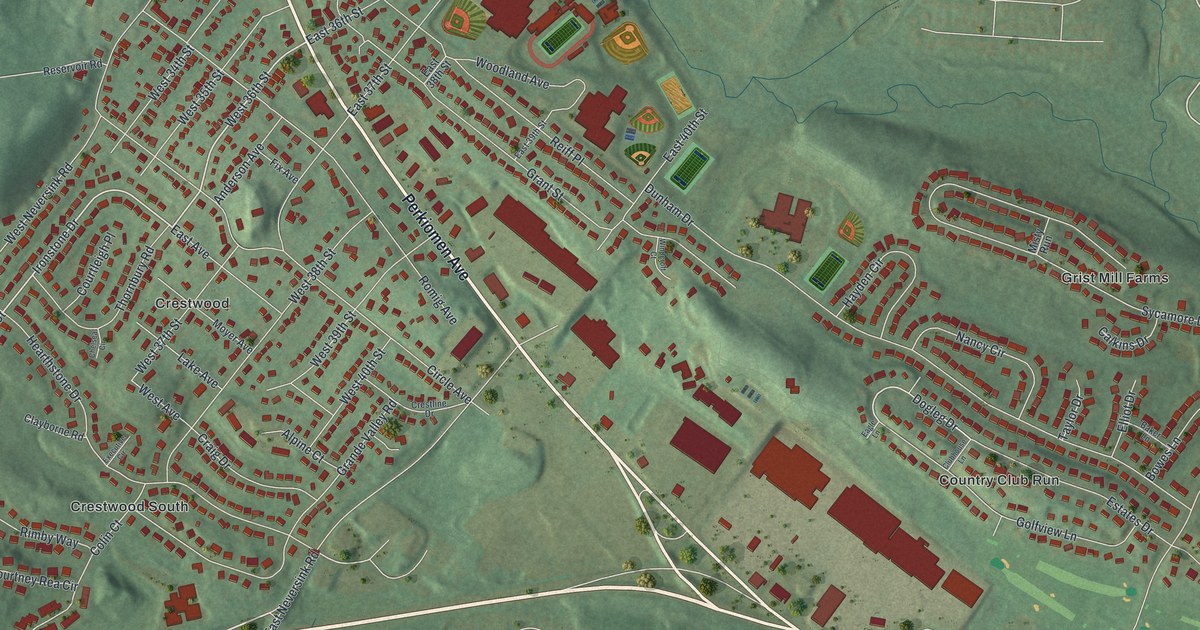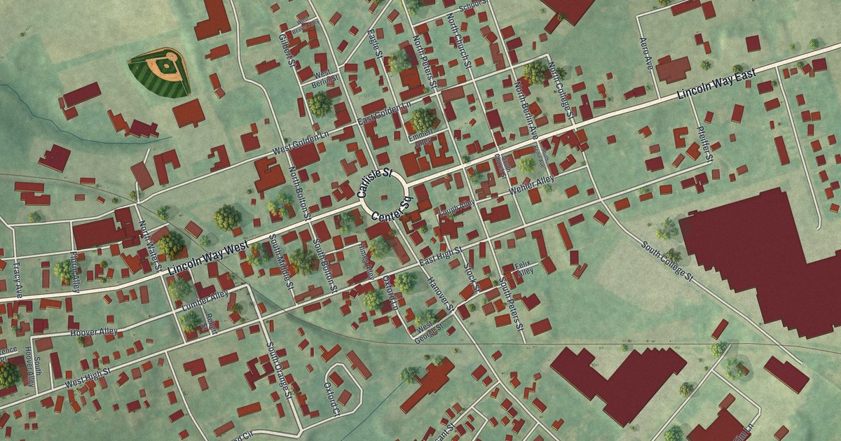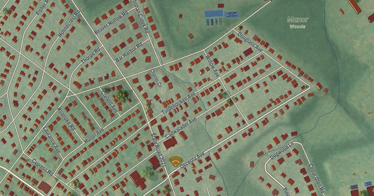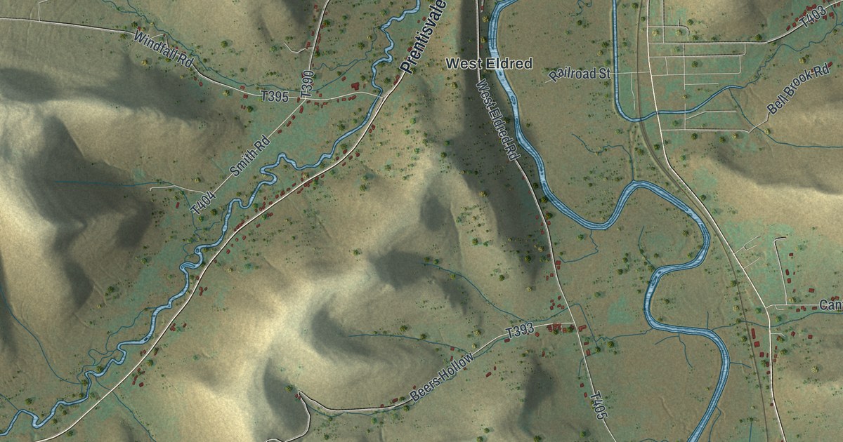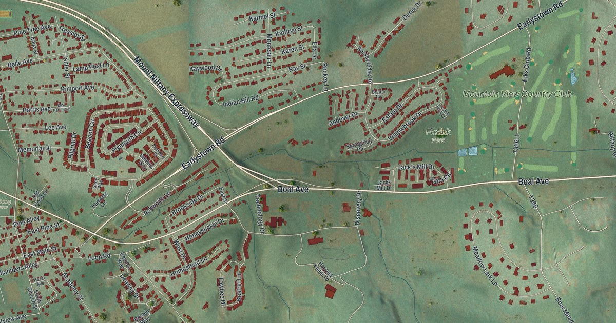
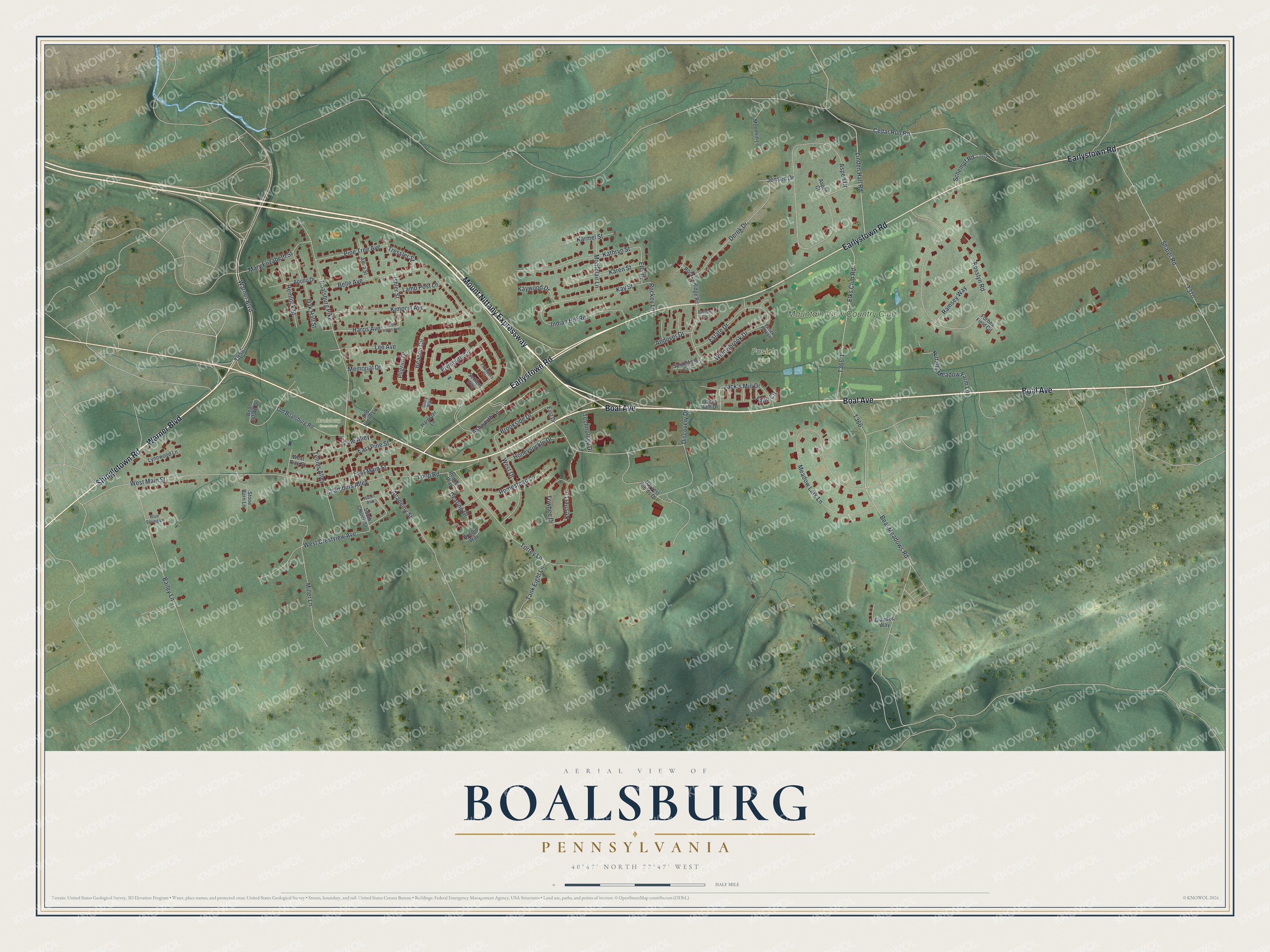
This beautifully detailed map of Boalsburg, Pennsylvania was created in 2026 using aerial imagery combined with modern topographical, census, street and landmark data. It's a modern aerial view of Boalsburg in Centre County, Pennsylvania, that combines modern data with a vintage aesthetic. The roads feature printed names, and if you look closely you can find your exact house accurately shown in its correct location.
Explore an aerial view of Boalsburg, Pennsylvania
On this map you'll find Fasick Park, Boalsburg Cemetery, Mountain View Country Club, Boal Avenue, Mount Nittany Expressway, Warner Boulevard, Shingletown Road, Earlystown Road, T958, Boalsburg Pike, Ashworth Lane, Estate Drive, and more. Each red shape is a building, so zoom in on the preview and look for yours.
Boalsburg is a community in Centre County. The Census Bureau counted 4,577 people here in 2020. Boalsburg sits about 3 miles southeast of Lemont, 4 miles southeast of Houserville and 4 miles east of State College. The map prints the town name in its title panel, with the coordinates below it.
Take a closer look at the Boalsburg map
Names on this map
These names are printed on this map.
Places: Fasick Park, Boalsburg Cemetery and Mountain View Country Club.
Streets and roads: Boal Avenue, Mount Nittany Expressway, Warner Boulevard, Shingletown Road, Earlystown Road, Boalsburg Pike, Ashworth Lane, Estate Drive, Brookside Drive, West Main Street, Willowbrook Drive, East Main Street.
More street names, A to Z
Academy Street, Andover Drive, Anna Street, Apollo Drive, Aspen Court, Aspen Drive, Bailey Lane, Beacon Circle, Bear Meadows Road, Belle Avenue, Blue Spring Lane, Boal Estate Drive, Breton Circle, Brisbin Way, Cedar Run Road, Chambers Alley, Claudes Way, Dearing Drive, Derek Drive, Discovery Drive, East Drive, East Harris Avenue, East Pine Street, Elks Club Road, Ella Drive, Faith Circle, Fasick Park Lane, Forbes Field Circle, Founders Court, Glory Way, Harpster Lane, Harris Avenue, Harvest Fields Drive, Hazel Avenue, Hemlock Street, Homestead Lane, Honeysuckle Drive, Indian Hill Road, Ishler Street, Jack's Mill Drive, Jacks Mill Drive, Jensen Drive, Karen Street, Karmel Street, Kathryn Street, Kay Street, Kaywood Drive, Kestrel Lane, Kimport Avenue, Lamp Post Lane, Lee Avenue, Linden Hall Road, Loop Road, Lynnwood Lane, Mary Elizabeth Street, Meadow Lark Lane, Memorial Drive, Miller Lane, Montclair Lane, Moonhill Lane, Nittany Meadow Farm Lane, Oak Hall Street, Old Boalsburg Road, Old Stone Lane, Pilgrim Drive, Pine Alley, Pine Tree Avenue, Plymouth Circle, Ramsey Way, Reuben Way, Rockey Lane, Rockey Ridge Road, Rosslyn Road, Schempf Road, Settlers Way, Sharer Road, South Church Street, Springfield Circle, Stone Barn Lane, Tank Eight Lane, Technology Drive, Tennis Alley, Torrey Lane, Towhee Drive, Tressler Street, West Crestview Avenue, West Drive, West Pine Street.
See it on a wall
The Boalsburg map as a framed print. Swipe for more.


Created by KNOWOL in 2026. The buildings are small red shapes, the roads carry their printed names, and shaded relief shows the shape of the land. The title panel reads "AERIAL VIEW OF BOALSBURG, PENNSYLVANIA" with 40°47' NORTH 77°47' WEST.
It suits a den, a classroom or a front hall, and it makes a gift for anyone with Boalsburg roots. Open the preview and find the block you know. See sizes and frames for the Boalsburg map.