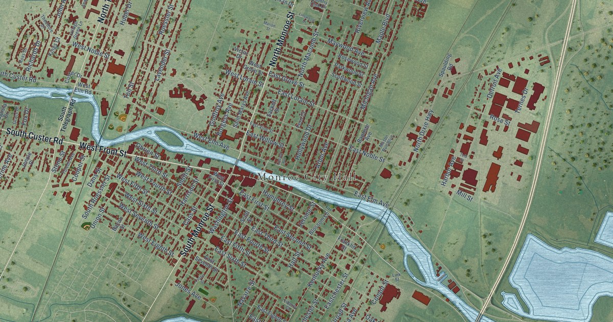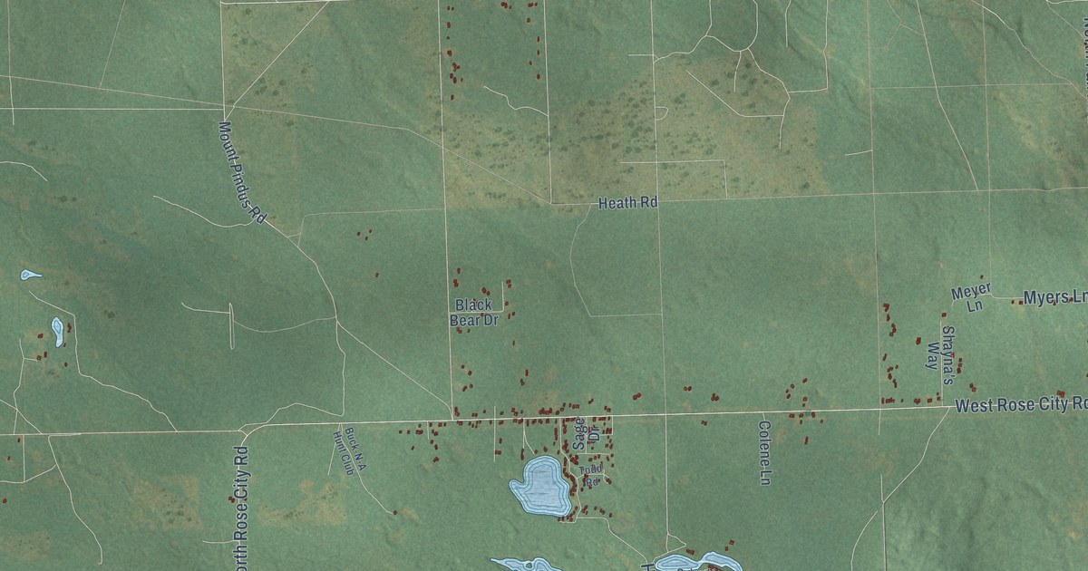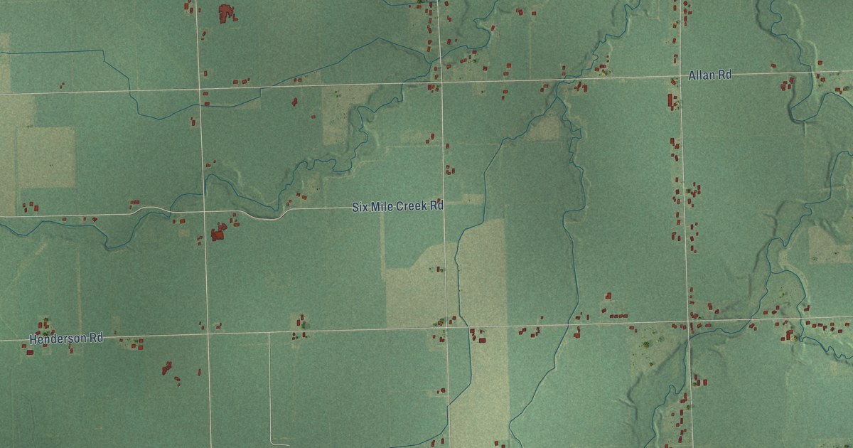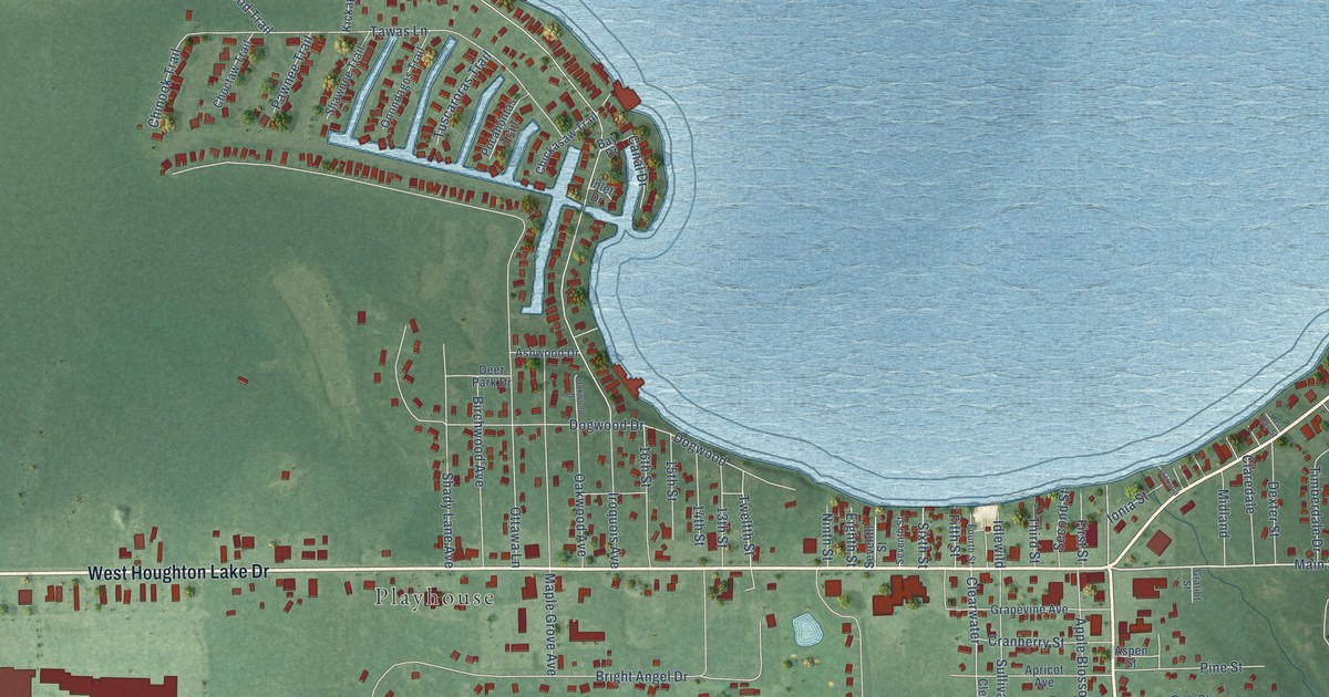
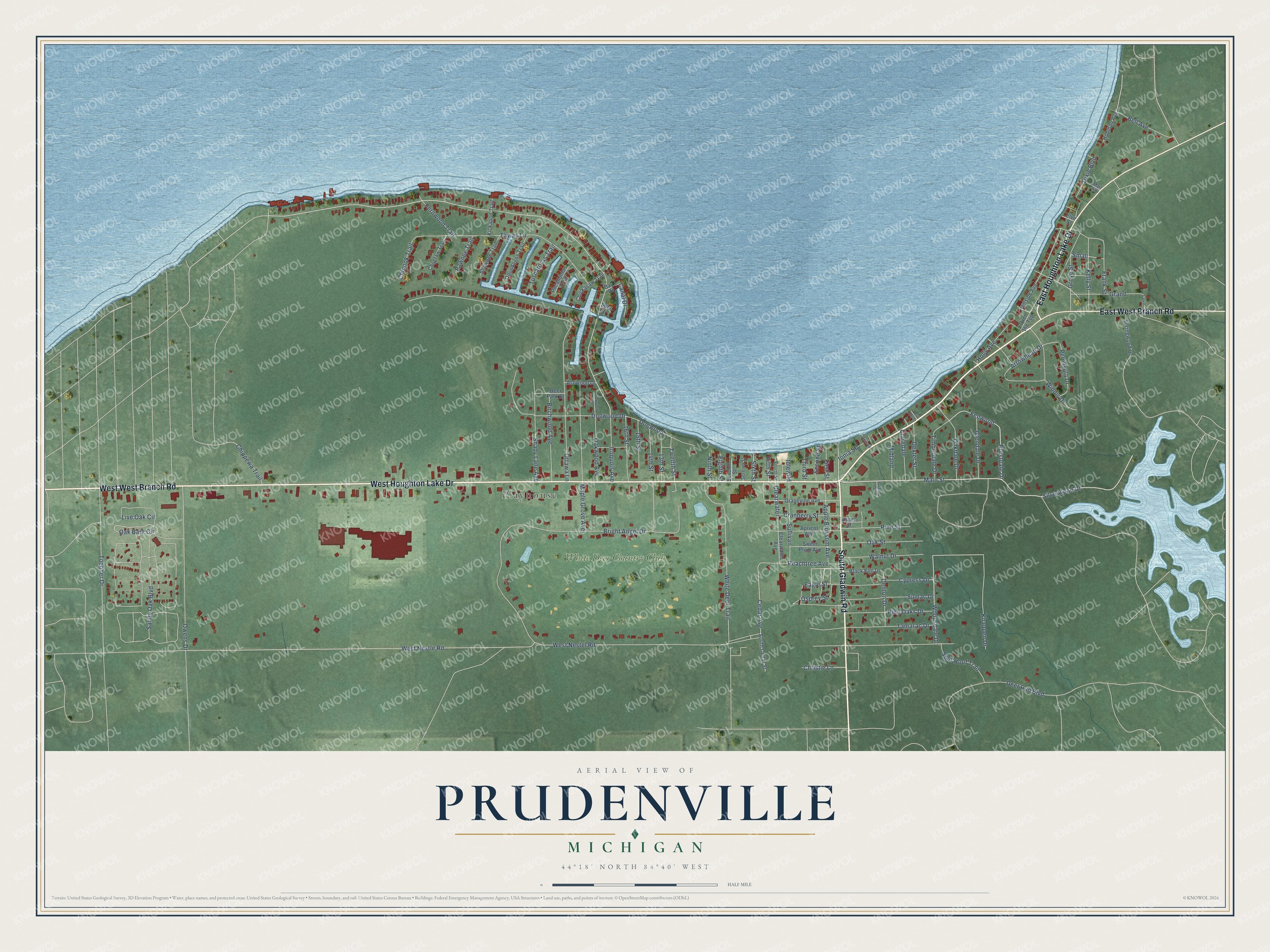
This beautifully detailed map of Prudenville, Michigan was created in 2026 using aerial imagery combined with modern topographical, census, street and landmark data. It's a modern aerial view of Prudenville in Roscommon County, Michigan, that combines modern data with a vintage aesthetic. The roads feature printed names, and if you look closely you can find your exact house accurately shown in its correct location.
Explore an aerial view of Prudenville, Michigan
On this map you'll find Playhouse, White Deer Country Club, West Houghton Lake Drive, South Gladwin Road, East Houghton Lake Drive, East West Branch Road, Main Street, Hurstdale Drive, Silverwood Drive, Fenwood, Woodsdale Drive, Cedar Avenue, and more. Each red shape is a building, so zoom in on the preview and look for yours.
Prudenville is a community in Roscommon County. The Census Bureau counted 1,643 people here in 2020. Prudenville sits about 4 miles east of Houghton Lake, 13 miles south of Roscommon and 21 miles east of Falmouth. The map prints the town name in its title panel, with the coordinates below it.
Take a closer look at the Prudenville map
Names on this map
These names are printed on this map.
Places: Playhouse and White Deer Country Club.
Streets and roads: West Houghton Lake Drive, South Gladwin Road, East Houghton Lake Drive, West West Branch Road, East West Branch Road, Main Street, Hurstdale Drive, Silverwood Drive, Fenwood, Woodsdale Drive, Cedar Avenue, Small.
More street names, A to Z
13th Street, 14th Street, 15th Street, 16th Street, Apple Blossom Avenue, Apricot Avenue, Arrowhead Drive, Ashwood Drive, Aspen Street, Bay Drive, Bell Avenue, Birchwood Avenue, Black Elm Drive, Bright Angel Drive, Canal Drive, Chickasaw Trail, Chinook Trail, Chippewa Trail, Choctaw Trail, Christie Lane, Claredale, Clearwater, Clearwater Avenue, Cove, Cranberry Street, Cypress Drive, Deer Park Drive, Deer Run Boulevard, Denton Drive, Dexter Street, Dixie Boulevard, Dogwood, Dogwood Drive, Eagle Street, East Bay Street, Eighth Street, Elve Street, Fernwood Trail, Fifth Street, First Street, Fourth Street, Frank Street, Glendale Drive, Grand, Grapevine Avenue, Gratiot Street, Grove Street, Hillside Avenue, Hohman Avenue, Holly Avenue, Idlewild, Inlet Drive, Ionia Street, Iroquois Avenue, Jackson, Kelly Street, Kickapoo Trail, Knappen Drive, Live Oak Circle, Maple Grove Avenue, Matt Avenue, Midland, Ninth Street, Oak Bark Circle, Oakdale Drive, Oak Street, Oakwood Avenue, Oakwood Drive, Onondagos Trail, Osprey Street, Ottawa Lane, Over the Top, Owens Drive, Pawnee Trail, Peachtree Avenue, Peninsula Drive, Pine Oaks Drive, Pine Street, Pocahontas Trail, Sandy Oak Boulevard, Second Street, Seventh Street, Shady Lane Avenue, Shawnee Trail, Sixth Street, South Cedar Street, Split Hoof Trail, Springwood Drive, Sullivan, Sumac Drive, Sweet Plum Avenue, Tamarac Drive, Tawas Lane, Third Street, Timberdale Drive, Toepher Drive, Tuscaroras Trail, Twelfth Street, Walnut Drive, West Nestel Road, West Nestle Road, White Deer Trail, Widdis Drive.
See it on a wall
The Prudenville map as a framed print. Swipe for more.


Created by KNOWOL in 2026. The buildings are small red shapes, the roads carry their printed names, and shaded relief shows the shape of the land. The title panel reads "AERIAL VIEW OF PRUDENVILLE, MICHIGAN" with 44°18' NORTH 84°40' WEST.
It looks right in a kitchen, an office or a den, and it's a gift for anyone who grew up in Prudenville or moved away. Open the preview and find your street. See sizes and frames for the Prudenville map.