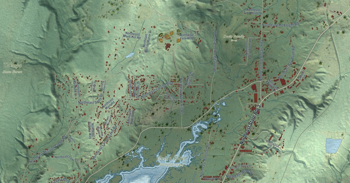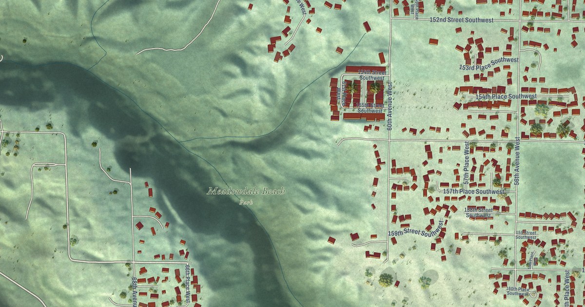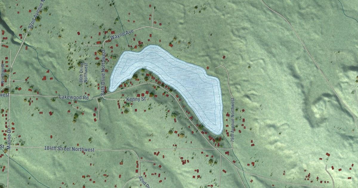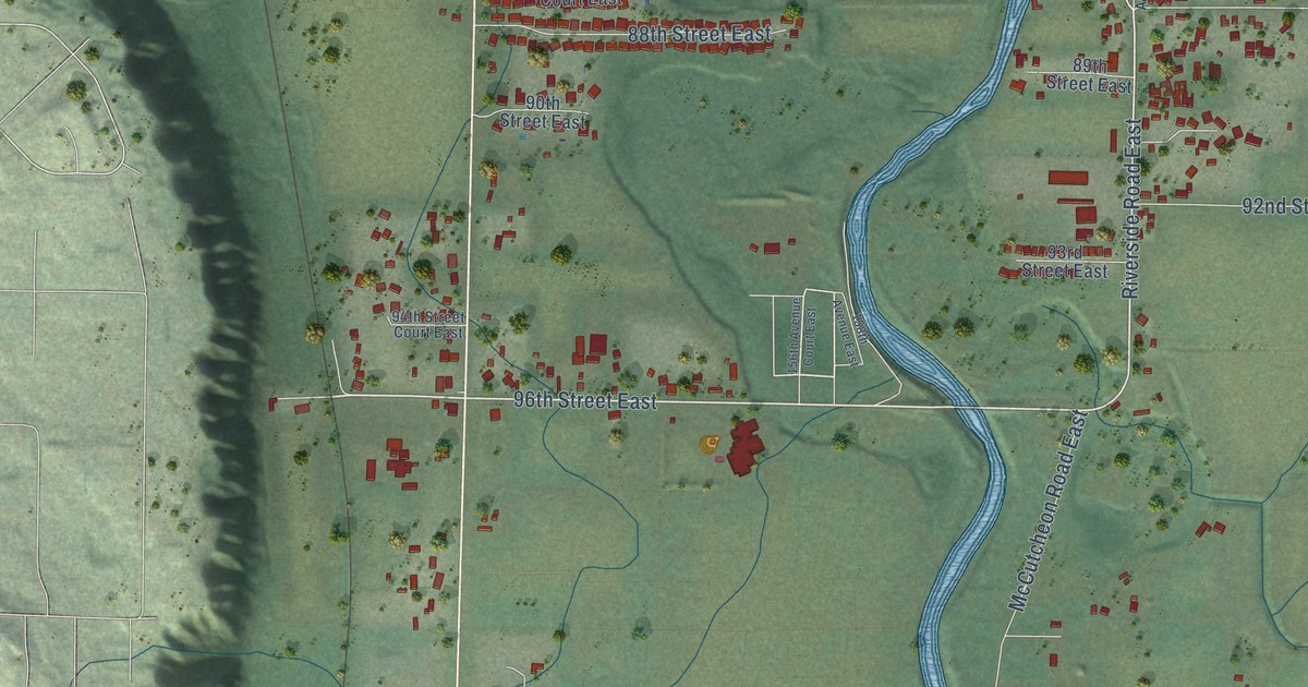
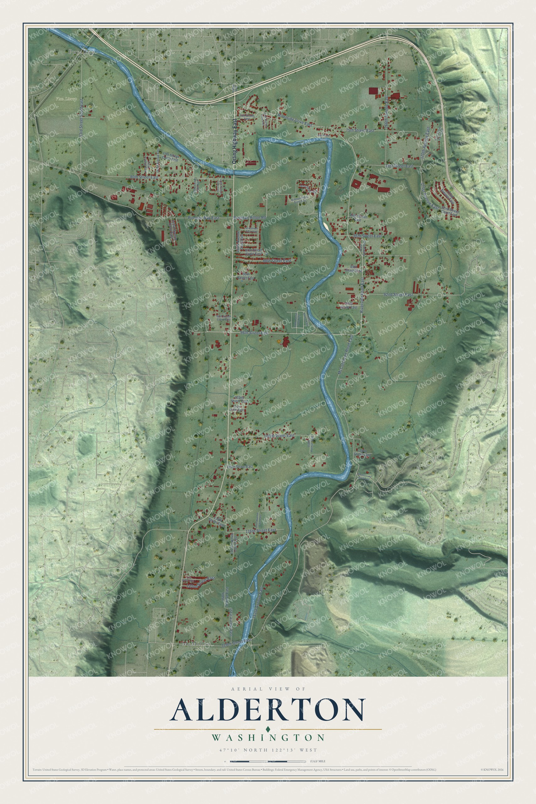
This beautifully detailed map of Alderton, Washington was created in 2026 using aerial imagery combined with modern topographical, census, street and landmark data. It’s a one-of-a-kind view of Alderton that combines accurate data with a vintage aesthetic. The map shows every building in its true location, many of the roads carry their names, and the shaded topographic relief shows the shape of the land.
Explore an aerial view of Alderton, Washington
On the map you’ll find Van Lierop, McMillin, and Puyallup, along with Orting Highway East, Riverside Road East, 96th Street East, Bowman Hilton Road, 171st Avenue East, McCutcheon Road East, 80th Street East, Pioneer Way East, 153rd Avenue East, and more. Alderton sits about 3 miles southeast of North Puyallup, 3 miles southwest of Bonney Lake and 3 miles east of Puyallup. If you look closely you can even find your house accurately drawn in its correct location. Zoom in on the preview to look for yours.
Did You Know?
Alderton was founded and named by Orson Annis, who came with his family in 1869 and cleared land for hops and then fruit trees. When the Northern Pacific laid its line through the valley in 1877, he named the place Alderton because it was thick with alders, which gave the trains their wood. Annis became the town's first storekeeper, postmaster and ticket agent, and he helped start its first school. That's from the National Register of Historic Places.
Take a closer look at the Alderton map
Names on this map
These names are printed on this map.
Places: Van Lierop, McMillin and Puyallup.
Streets and roads: Orting Highway East, Riverside Road East, 96th Street East, Riverside Drive East, Bowman Hilton Road, 171st Avenue East, McCutcheon Road East, 80th Street East, Pioneer Way East, 153rd Avenue East, 166th Avenue East, 88th Street East.
More street names, A to Z
33rd Street Southeast, 74th Street East, 75th Street East, 76th Street East, 77th Street Court East, 78th Street East, 81st Street East, 82nd Street Court East, 84th Street East, 85th Street Court East, 86th Street East, 87th Street Court East, 89th Street East, 90th Street East, 92nd Street East, 93rd Street East, 94th Street Court East, 102nd Street East, 103rd Street East, 106th Street East, 108th Street East, 109th Street East, 115th Street East, 116th Street East, 121st Street East, 122nd Street East, 128th Street East, 141st Avenue East, 142nd Avenue East, 143rd Avenue Court East, 146th Avenue Court East, 148th Avenue Court East, 150th Avenue Court East, 150th Avenue East, 151st Avenue Court East, 151st Avenue East, 153rd Avenue Court East, 154th Avenue Court East, 156th Avenue Court East, 158th Avenue East, 159th Avenue East, 164th Avenue East, 170th Avenue East, 171st Avenue Court East, 173rd Avenue East, Bowman Hilton Street East, Rhodes Lake Road East, Valley Avenue.
See it on a wall
The Alderton map as a framed print. Swipe for more.


This beautifully detailed map of Alderton makes an attractive addition to your office, library, or den, and it can even be used to teach children the geography and history of the area. It also makes a great gift for anyone who grew up in Alderton or moved away. When you’re done exploring, click here to get your copy of the Alderton map.