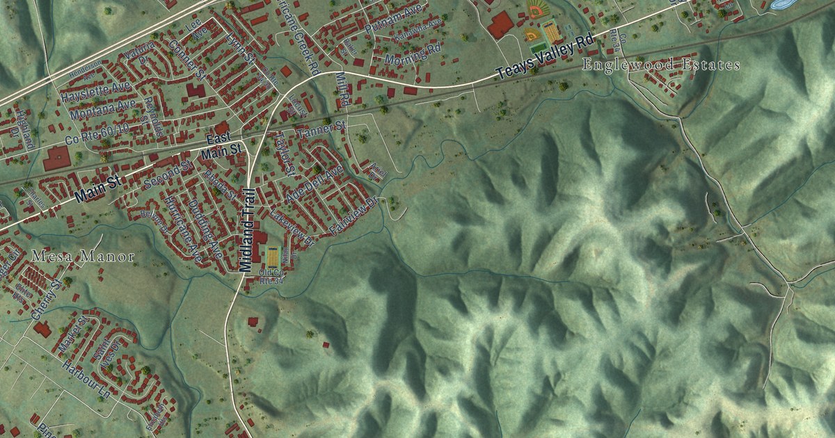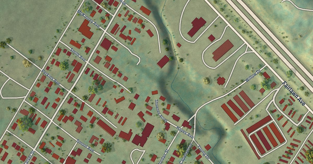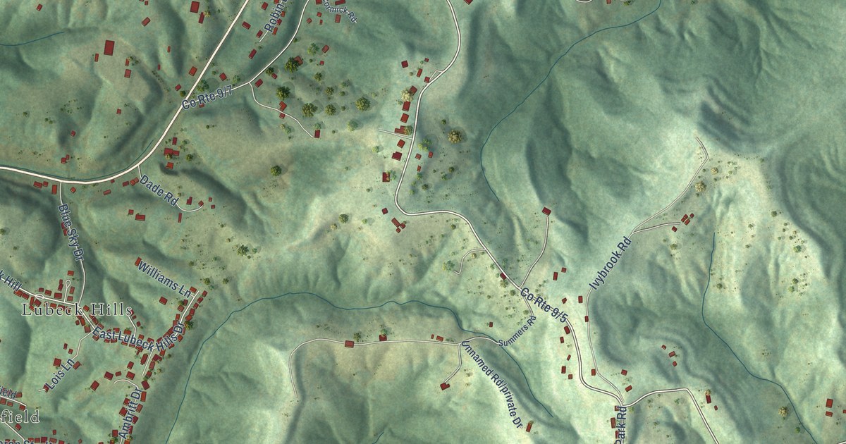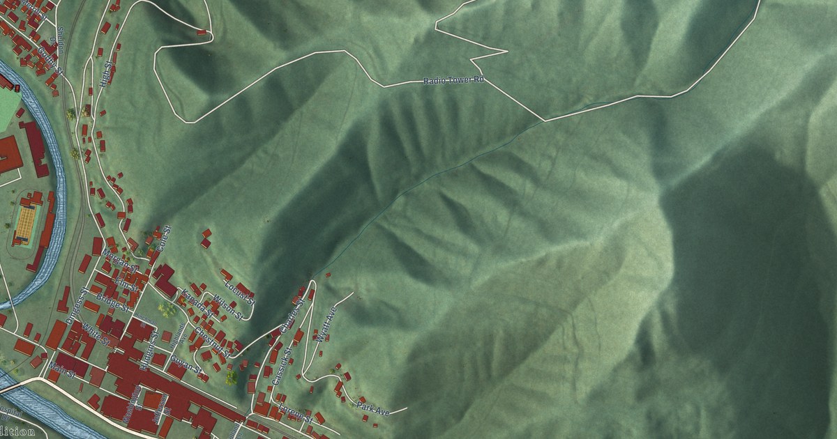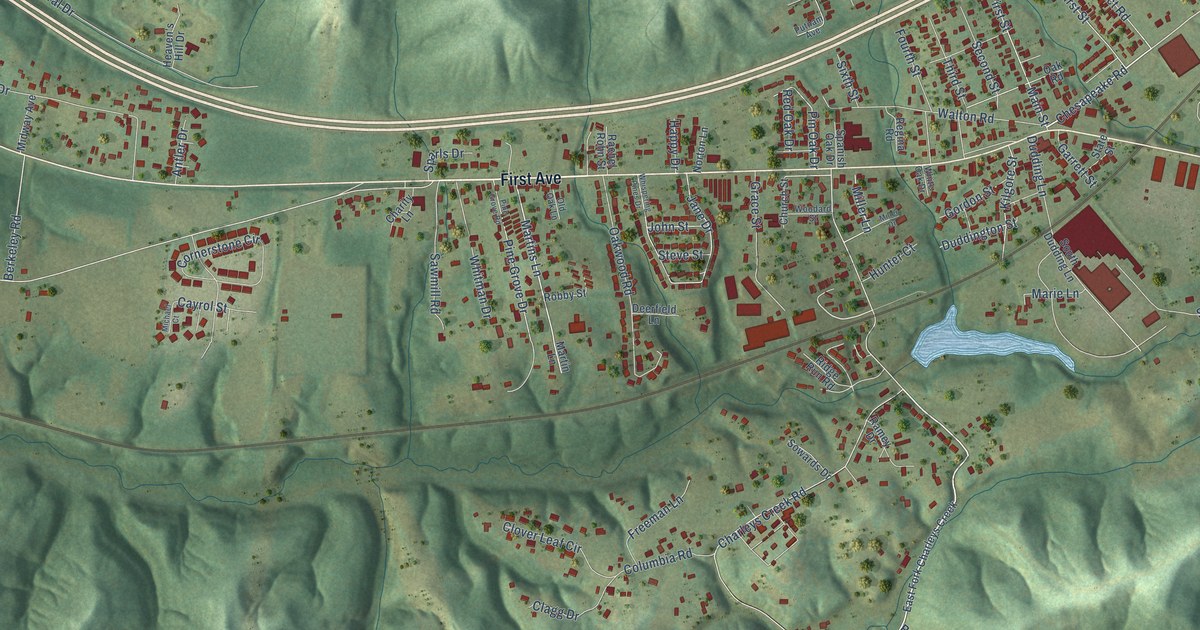
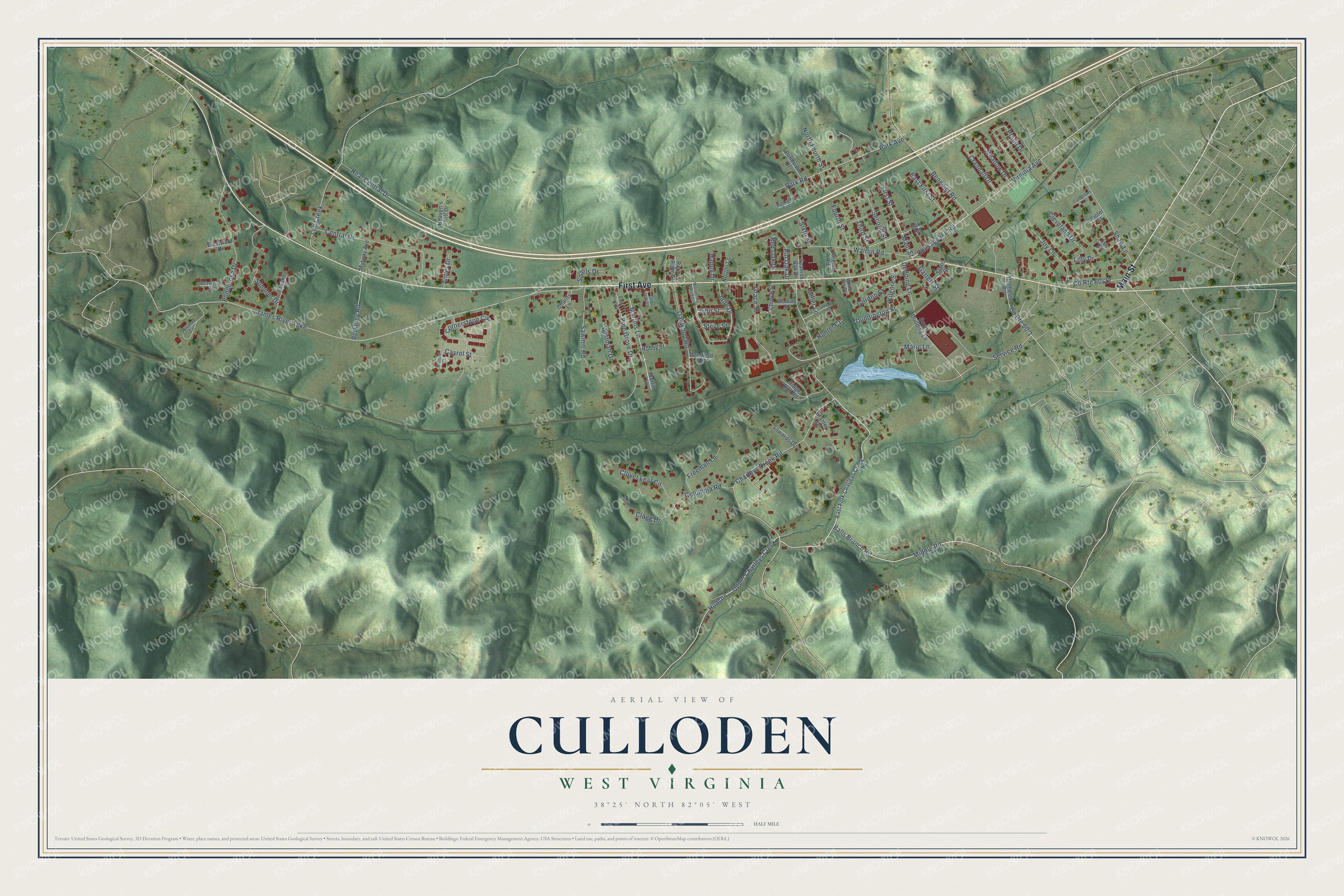
This beautifully detailed map of Culloden, West Virginia was created in 2026 using aerial imagery combined with modern topographical, census, street and landmark data. It's a modern aerial view of Culloden in Cabell County, West Virginia, that combines modern data with a vintage aesthetic. The roads feature printed names, and if you look closely you can find your exact house accurately shown in its correct location.
Explore an aerial view of Culloden, West Virginia
On this map you'll find First Avenue, Main Street, Virginia Avenue, Balls Branch Road, Middle Road, Upper Charleys Creek, Martins Lane, Benedict Road, Chesapeake Road, Miller Lane, Duddington Street, Steve Street, and more. Each red shape is a building, so zoom in on the preview and look for yours.
Every town has a first chapter, and Culloden is no exception. An early record of Culloden dates from 1818, when a tavern license was granted there. The tavern lasted until the Civil War, when Federal soldiers burned it and its elderly owner, John Morris, fled to Wytheville, Virginia. After the war the Chesapeake and Ohio Railroad was built along the Midland Trail, with a freight and passenger station in the village. That's from the Cabell County Annals and Families.
Culloden is a community in Cabell County. The Census Bureau counted 3,016 people here in 2020. Culloden sits about 3 miles west of Hurricane, 4 miles east of Milton and 8 miles west of Teays Valley. The map prints the town name in its title panel, with the coordinates below it.
Take a closer look at the Culloden map
Names on this map
These names are printed on this map.
Streets and roads: First Avenue, Main Street, Virginia Avenue, Balls Branch Road, Middle Road, Upper Charleys Creek, Martins Lane, Benedict Road, Chesapeake Road, Miller Lane, Duddington Street, Steve Street.
More street names, A to Z
Antler Drive, Berkeley Road, Brierwood Road, Brooke Street, Canterbury Lane, Cayrol Street, Central Drive, Charity Lane, Charleys Creek Road, Church Street, Clagg Drive, Cleveland Drive, Clover Leaf Circle, Columbia Road, Cornerstone Circle, Crandall Drive, Deerfield Lane, Donahue Circle, Dudding Lane, East First Street, East Fork Charleys Creek, First Street, Fourth Street, Freeman Lane, Garrett Street, Gordon Street, Grace Street, Happy Drive, Heaven's Hill Drive, Hudson, Hunter Court, James River Turnpike, Jane Drive, John Street, Joy Lane, Kilgore Street, Lee Circle, Lee Creek, Lilly Drive, Marie Lane, Martin Lane, Meadow Drive, Michael Court, Midway Avenue, Miller Drive, North Fourth Street, Norton Lane, Oak Road, Oakwood Road, Old Oak Lane, Park Avenue, Park Road, Pine Grove Drive, Pine Grove Road, Pin Oak Drive, Ponderosa Drive, Pondview Drive, Prado Drive, Putnam Avenue, Rachel Rohn Street, Ramey Drive, Rear Central Drive, Red Oak Drive, Regina Road, Ridge Run Road, Robby Street, Sawmill Road, Second Street, Service Road, Shaw Lane, Sixth Street, South Dudding Lane, Sowards Drive, Spanish Oak Drive, Sparls Drive, State Street, Summer Drive, Third Street, Thompson Road, Violet Street, Walton Road, Westward Drive, Whispering Pines Drive, White Oak Drive, Whitman Drive, Woodard Street.
See it on a wall
The Culloden map as a framed print. Swipe for more.


Created by KNOWOL in 2026. The buildings are small red shapes, the roads carry their printed names, and shaded relief shows the shape of the land. The title panel reads "AERIAL VIEW OF CULLODEN, WEST VIRGINIA" with 38°25' NORTH 82°05' WEST.
Hang it in the hallway, the office or the cabin, or give it to someone who left Culloden and still calls it home. Open the preview and look for a street you know. See sizes and frames for the Culloden map.