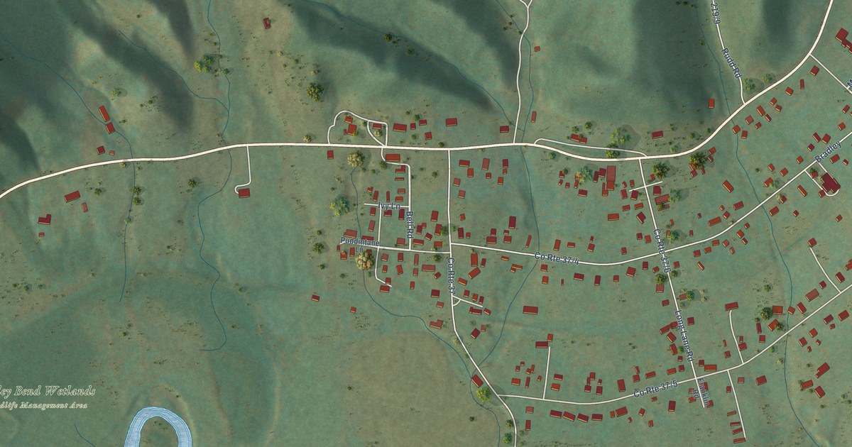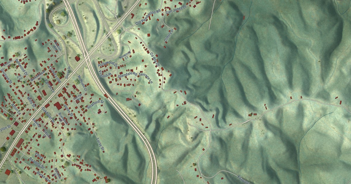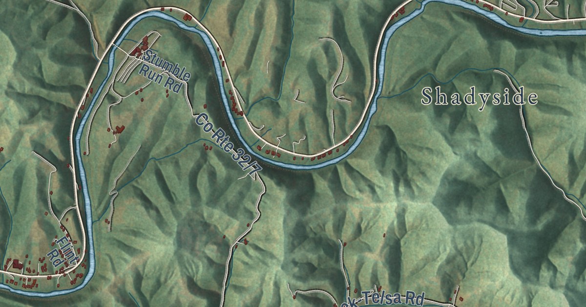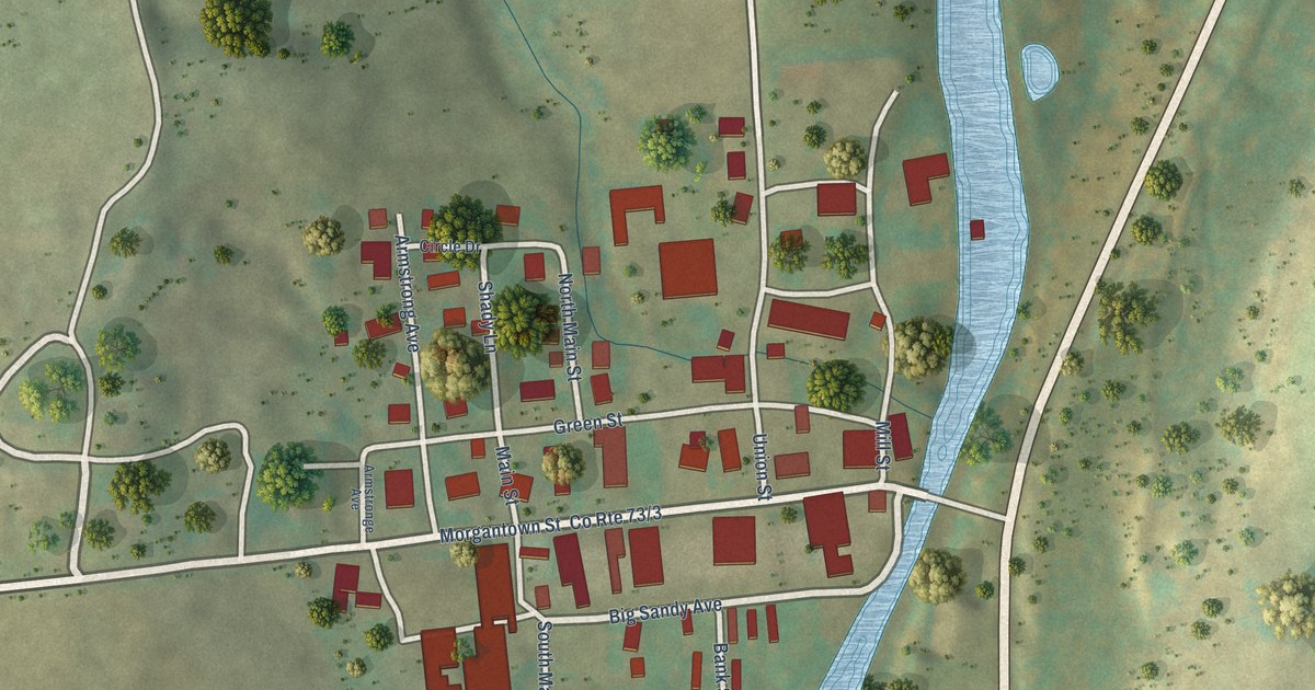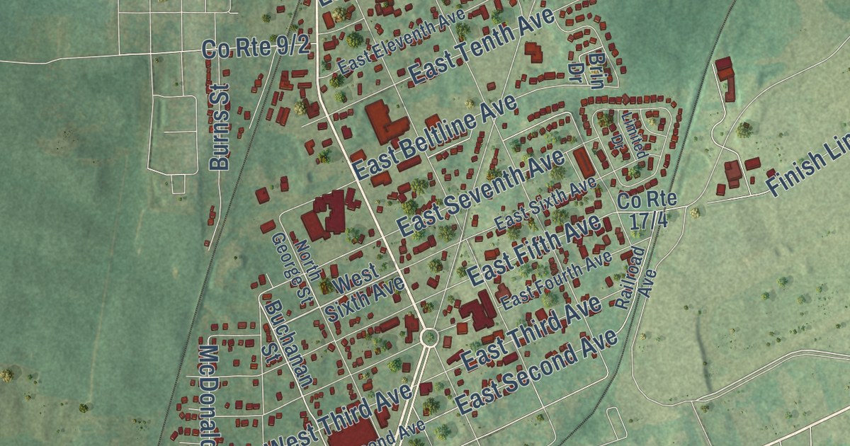
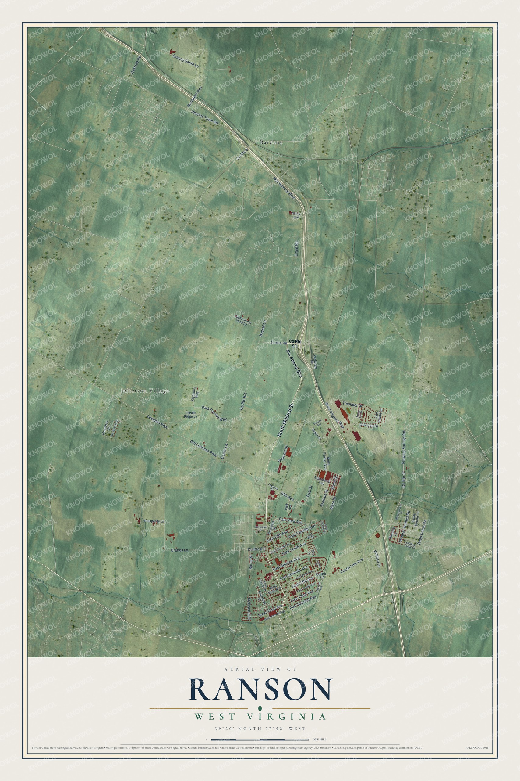
This beautifully detailed map of Ranson, West Virginia was created in 2026 using aerial imagery combined with modern topographical, census, street and landmark data. It’s a one-of-a-kind view of Ranson that combines accurate data with a vintage aesthetic. The map shows every building in its true location, many of the roads carry their names, and the shaded topographic relief shows the shape of the land.
Explore an aerial view of Ranson, West Virginia
On the map you’ll find Bardane and Jefferson Village, along with North Mildred Street, Currie Lane, Currie Road, Foal Street, Flowing Springs Road, Oak Lee Drive, East Park Avenue, East Fifth Avenue, East Tenth Avenue, 16th Avenue, and more. If you look closely you can even find your house accurately drawn in its correct location. Zoom in on the preview to look for yours.
Did you know this piece of Ranson, West Virginia history?
From the Goetz Harness and Collar Factory marker: "In the early spring of 1891, the Goetz Harness and Collar Factory became the second business to agree to set up shop in Ranson."
Take a closer look at the Ranson map
Street and place names on the Ranson, West Virginia map
These names are printed on the map of Ranson, West Virginia.
Places: Bardane and Jefferson Village.
Streets and roads: North Mildred Street, Currie Lane, Currie Road, Foal Street, Flowing Springs Road, Oak Lee Drive, East Park Avenue, East Fifth Avenue, East Tenth Avenue, 16th Avenue, Cranes Lane, Finish Line Avenue.
More street names, A to Z
Ambrose Drive, Baker Place, Basset Lane, Boundary Street, Brin Drive, Buchanan Street, Burns Street, Charles Town Road, County Route 8, County Route 17, Deep Creek Road, East 13th Avenue, East Beltline Avenue, East Eleventh Avenue, East Fourth Avenue, East Second Avenue, East Seventh Avenue, East Sixth Avenue, East Third Avenue, East Twelfth Avenue, Eighteenth Avenue, Fuzzy Tail Drive, Granny Smith Lane, Grant Road, Hot Wheels Drive, Jack Rabbit Lane, Kryskerry Way, Lee Street, Leetown Pike, Leetown Road, Level Green Farm Lane, Limited Drive, Mare Street, Matchbox Court, McDonald Street, Mineral Springs Road, North Fairfax Boulevard, North Forrest Street, North George Street, Northport Avenue, Oaktree Road, Old Leetown Pike, Park Avenue, Park Forrest Way, Parkview Road, Philip Avenue, Pimlico Drive, Prosperity Lane, Railroad Avenue, Riparian Lane, Sandy Bottom Drive, Shallow Creek Drive, Stallion Street, Steed Street, Thistle Ridge Lane, Thumper Drive, Wallace Way, War Admiral Boulevard, Watercourse Drive, Wescott Drive, West Second Avenue, West Sixth Avenue, West Third Avenue, West Virginia Way.
See the Ranson, West Virginia map on a wall
The Ranson map as an 18 x 24 inch print in a black frame.

This beautifully detailed map of Ranson makes an attractive addition to your office, library, or den, and it can even be used to teach children the geography and history of the area. It also makes a great gift for someone who left Ranson and still calls it home. When you’re done exploring, click here to get your copy of the Ranson map.