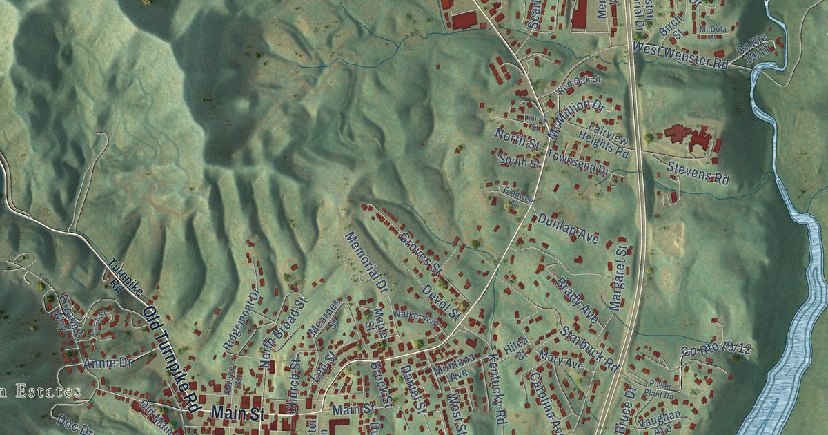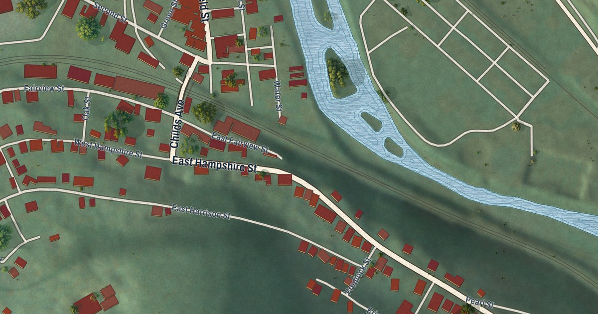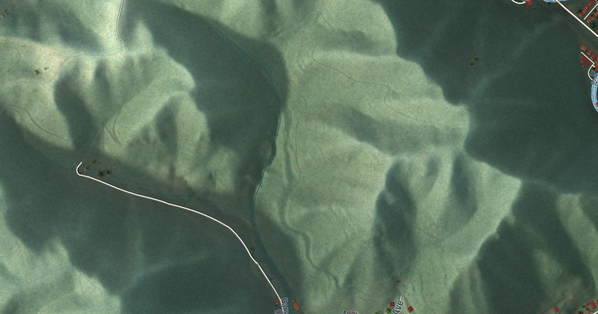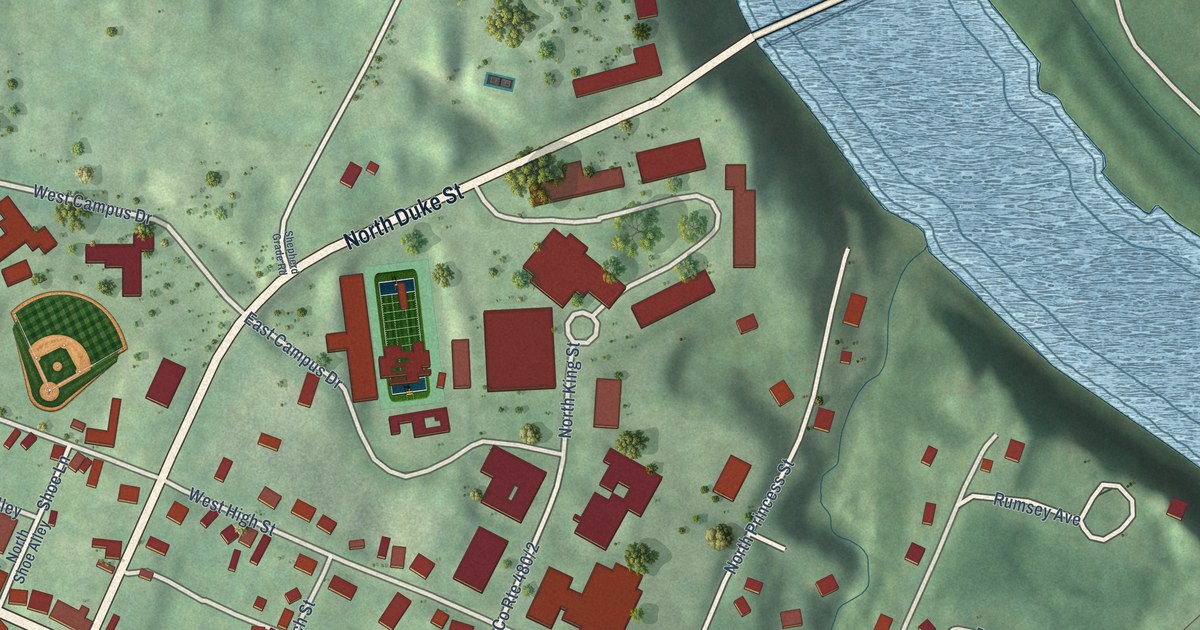
If you grew up in Shepherdstown, this print gives you familiar streets to find. It's a modern aerial view of Shepherdstown in Jefferson County, West Virginia, made with modern data and a vintage feel. Red buildings, pale streets and green land surround a broad blue river bend. Shepherdstown City Hall is named on the map.
East German Street and Rumsey Avenue
On this map you'll find East German Street, West German Street, North King Street, South King Street, North Duke Street, South Duke Street, North Princess Street, South Princess Street, East Washington Street, West Washington Street, Rumsey Avenue, Shepherdstown City Hall, and more. Each red shape is a building, so zoom in on the preview and look for yours.
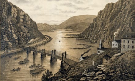
Shepherdstown is where James Rumsey, the steamboat inventor, lived. The James Rumsey Bridge marker tells his story. Rumsey made successful public demonstrations of his steamboat on the Potomac River here. The dates were December 3 and 11, 1787. The bridge was named in his honor. It opened and was dedicated on July 15, 1939.
A Shepherdstown print for your wall
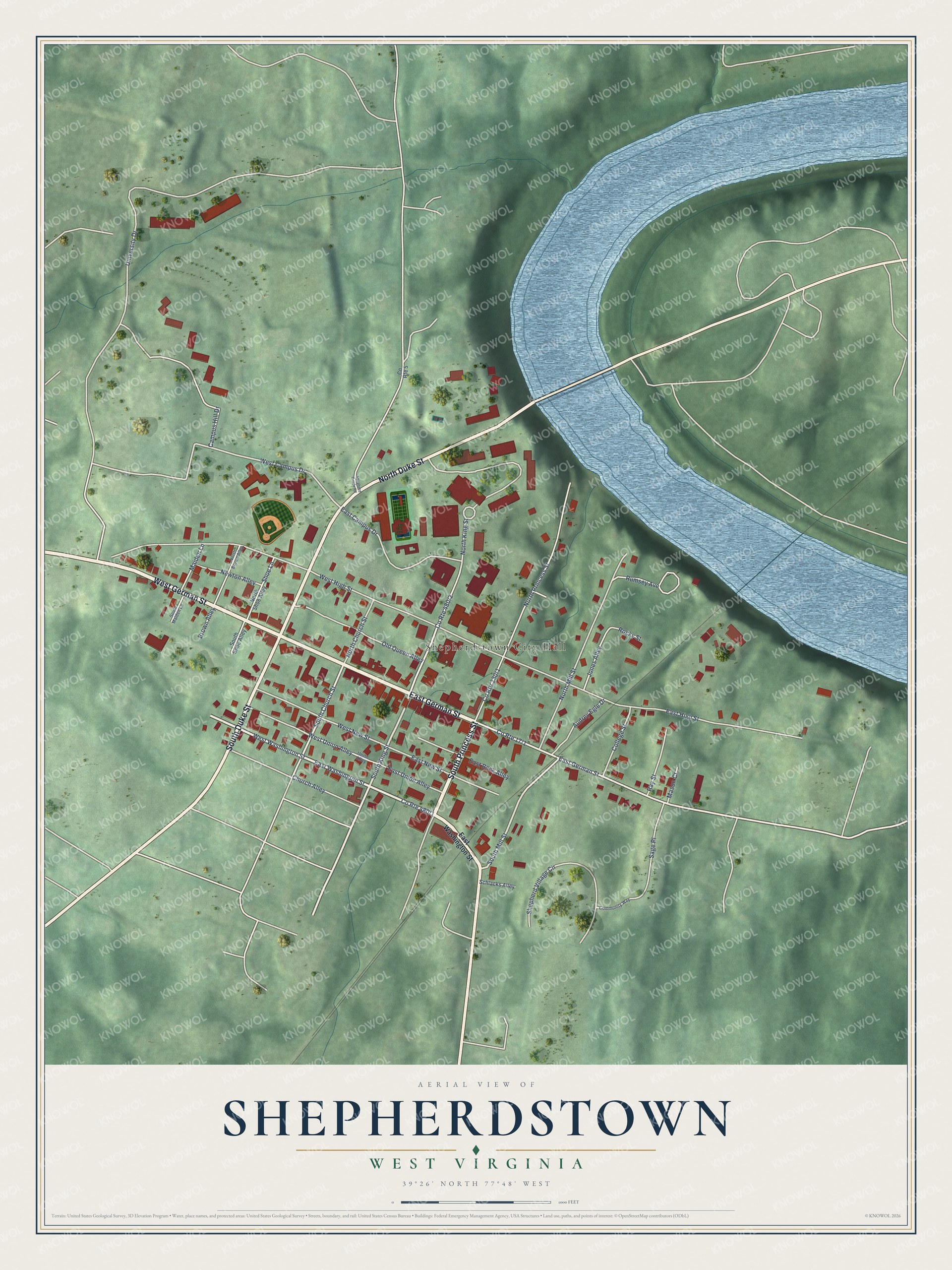
Created by KNOWOL in 2026, the print pairs green terrain with blue water, red buildings and pale roads. A cream border surrounds the view. The title panel reads AERIAL VIEW OF, SHEPHERDSTOWN, WEST VIRGINIA, and 39°26' NORTH 77°48' WEST.
Hang it in a living room, office or entryway. It's a gift for someone with family on East German Street, or a way to keep your own hometown close. Open the preview and take a closer look at the streets you know. See sizes and frames for the Shepherdstown map.