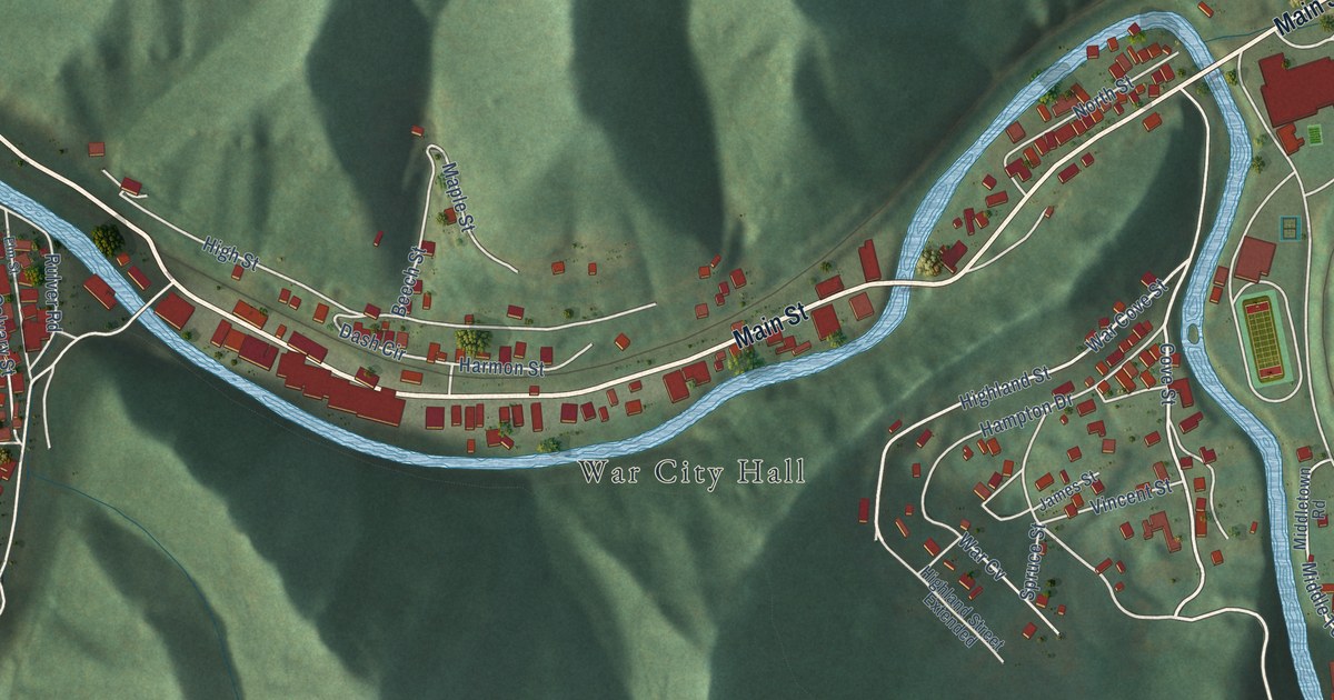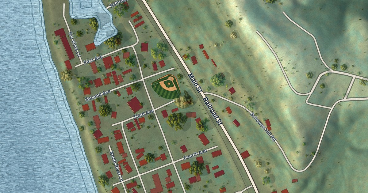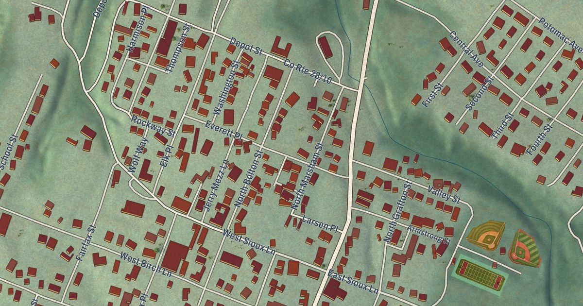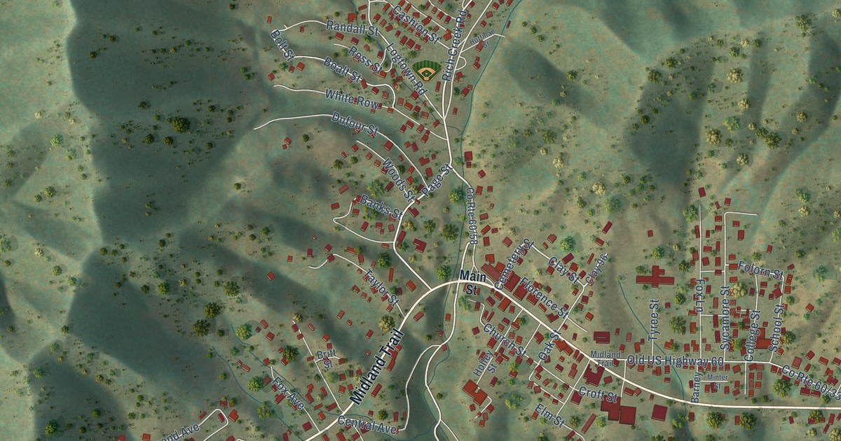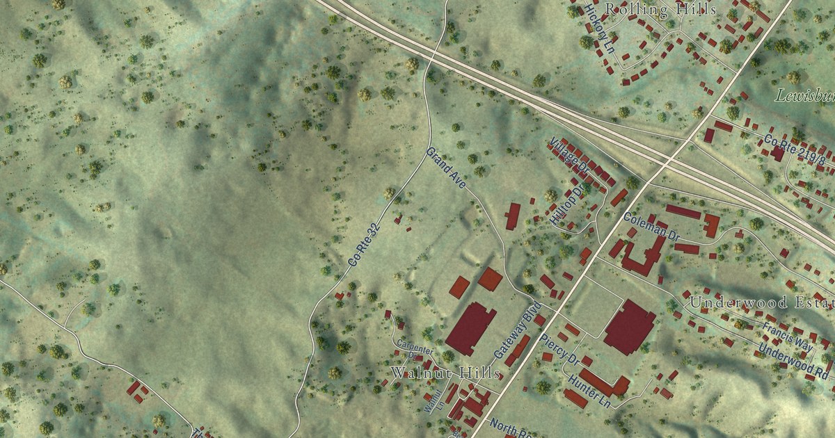
If you grew up in Lewisburg, look for your street on this print. It's a modern aerial view of Lewisburg in Greenbrier County, West Virginia, made with modern data and a vintage feel. Red buildings, pale roads, and green hills fill the view. Names like Crowfields and Dogwood Heights give you places to start.
Church Street and the Battle of Lewisburg
On this map you'll find West Washington Street, East Washington Street, Jefferson Street North, Jefferson Street South, Church Street, Court Street North, Lee Street, Greenbrier Avenue, Seneca Trail, Crowfields, Dogwood Heights, and more. Each red shape is a building, so zoom in on the preview and look for yours.
The Lewisburg Battle marker tells of the fighting on May 23, 1862. Confederate troops under General Henry Heth attacked part of Colonel George Crook's brigade. The attack was pushed back. The Old Stone Church served as a hospital. During his retreat, Heth burned the bridge over the Greenbrier at Caldwell.
Church Street on the print gives you a link to that history. The National Register places the Old Stone Church at Church and Foster streets. It's a place to think about the people caught in the battle, and the church's use to care for the wounded.
Lewisburg's streets on your wall
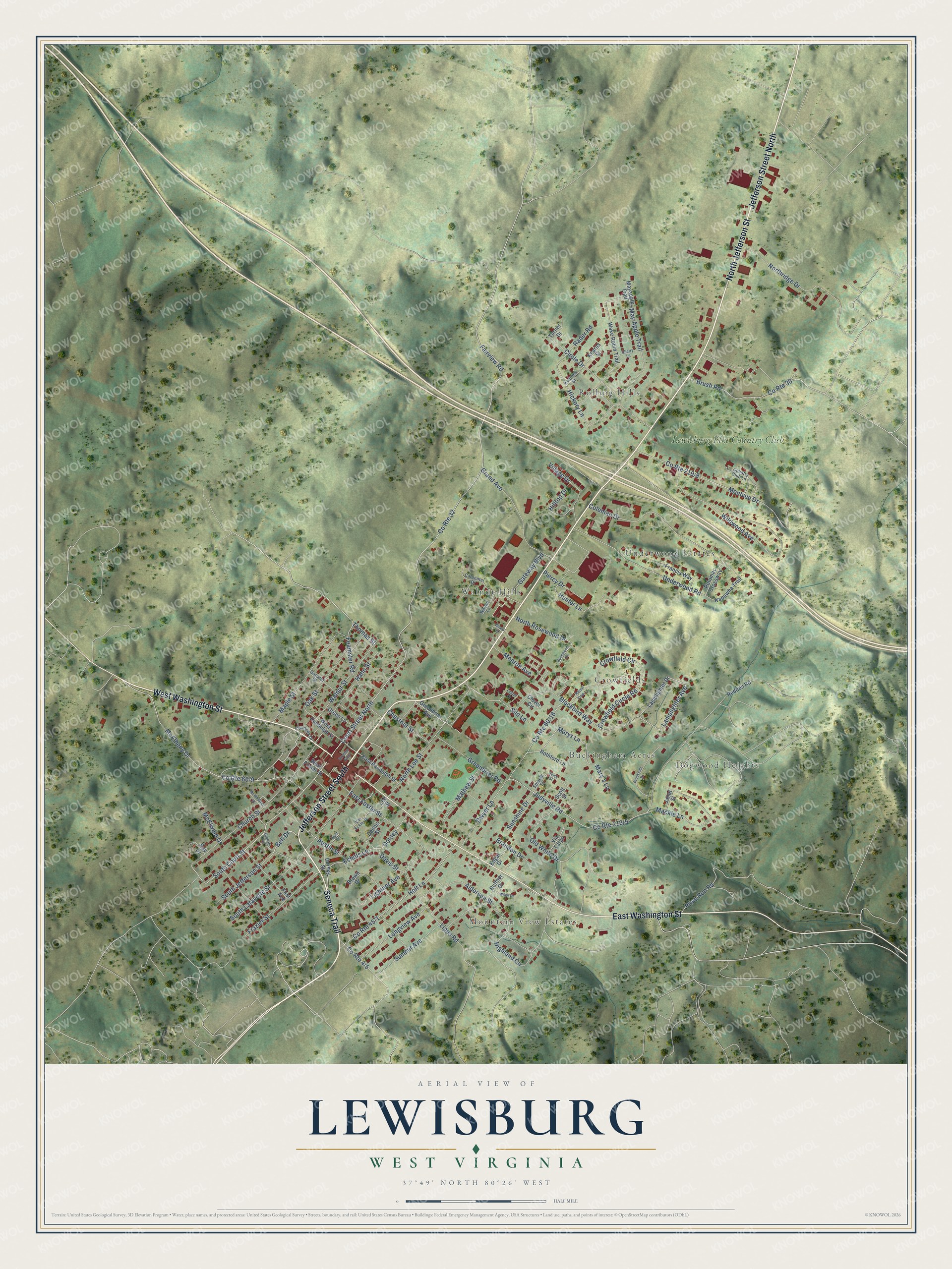
Created by KNOWOL in 2026, the print pairs muted green hills with red buildings and fine, pale roads. A cream border surrounds the view. The title panel reads AERIAL VIEW OF, LEWISBURG, WEST VIRGINIA, and 37°49' NORTH 80°26' WEST.
Hang it in a living room, office, or entryway to keep Lewisburg close. It's a gift for someone with family on Church Street or roots in Dogwood Heights. Open the preview and look for the names you know. See sizes and frames for the Lewisburg map.