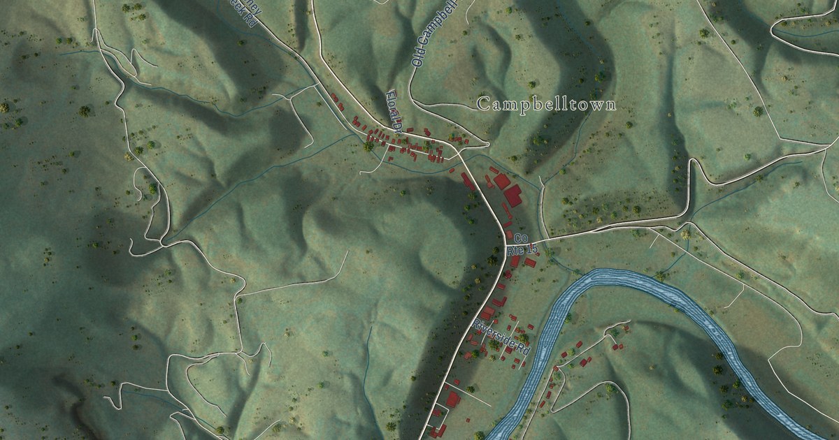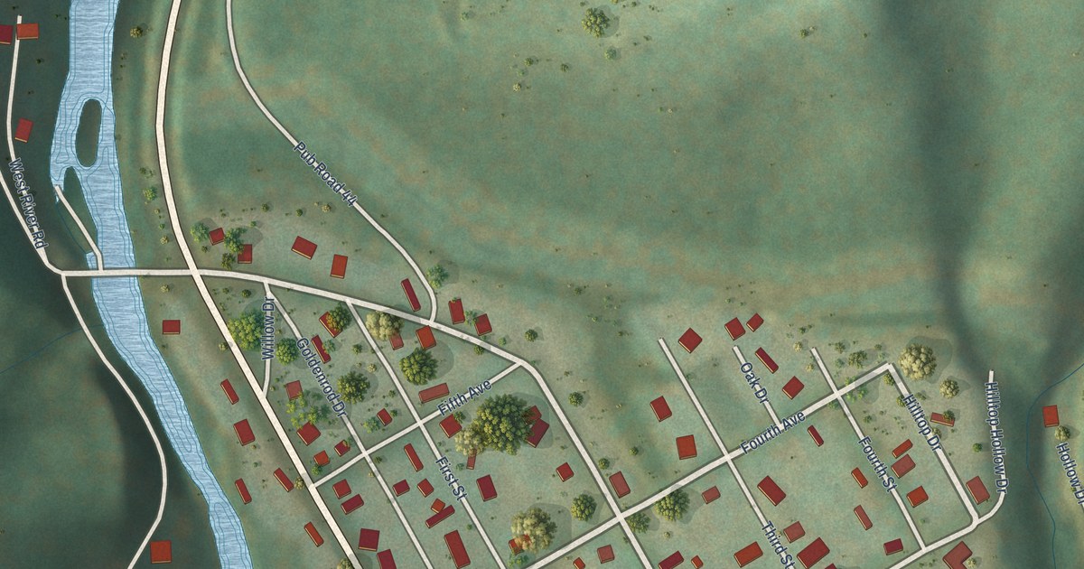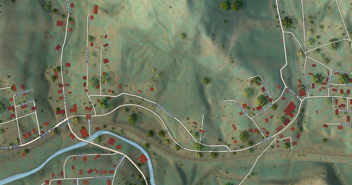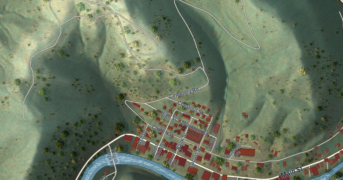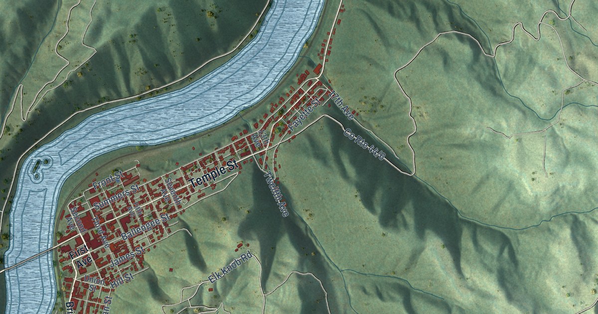
If you grew up in Hinton, this print gives you familiar names to find. It's a modern aerial view of Hinton in Summers County, West Virginia, using modern data with a vintage feel. Blue rivers curve through green hills, with red buildings and a web of streets. Bellepoint, Avis, and Barksdale are named on the map.
Hinton's C&O railway roots
On this map you'll find Main Street, Temple Street, Ballengee Street, Summers Street, Greenbrier Drive, Pleasant Street, Central Avenue, First Avenue, Riverside Drive, Bellepoint, Avis, Barksdale, and more. Each red shape is a building, so zoom in on the preview and look for yours.
Hinton's story starts with land and the railroad. According to the West Virginia Encyclopedia, the Chesapeake & Ohio Railway bought land here in 1871. Hinton was built on that land. The seller was the son of Isaac Ballengee, the first settler of European descent. Ballengee had received a Virginia land grant for 210 acres in 1777. As you read that early history, look for Ballengee Street on the print. It's one of the street names you can pick out among the red buildings.
Hinton, from Bellepoint to Barksdale
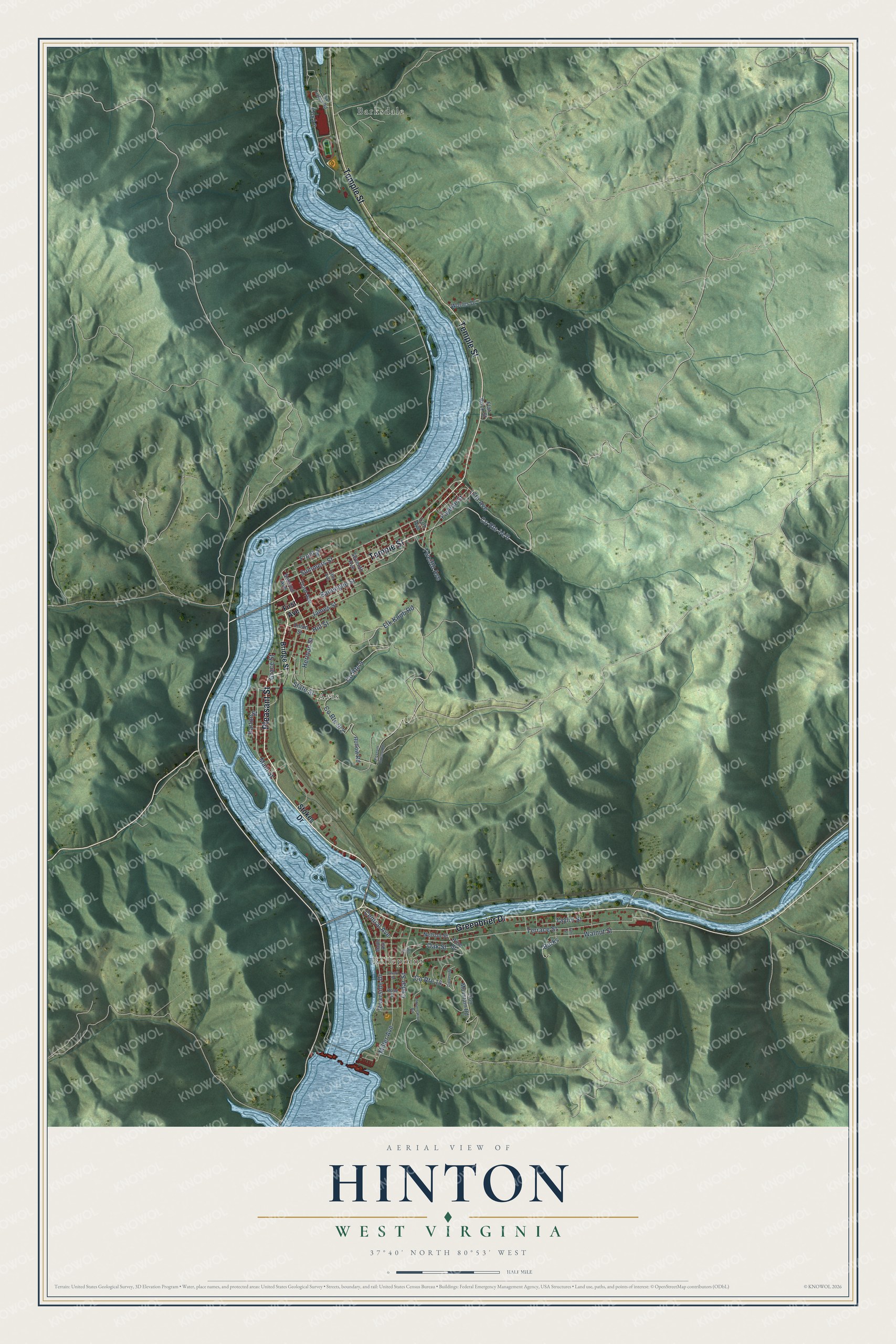
Created by KNOWOL in 2026, this print pairs shaded green hills with blue water, red buildings, and a cream border. The title panel reads AERIAL VIEW OF, HINTON, WEST VIRGINIA, and 37°40' NORTH 80°53' WEST.
Hang it in a living room, office, or entryway. It's a gift for someone with family in Bellepoint or roots along Temple Street, and a way to keep home close. Open the preview to explore the streets and find the names you know. See sizes and frames for the Hinton map.