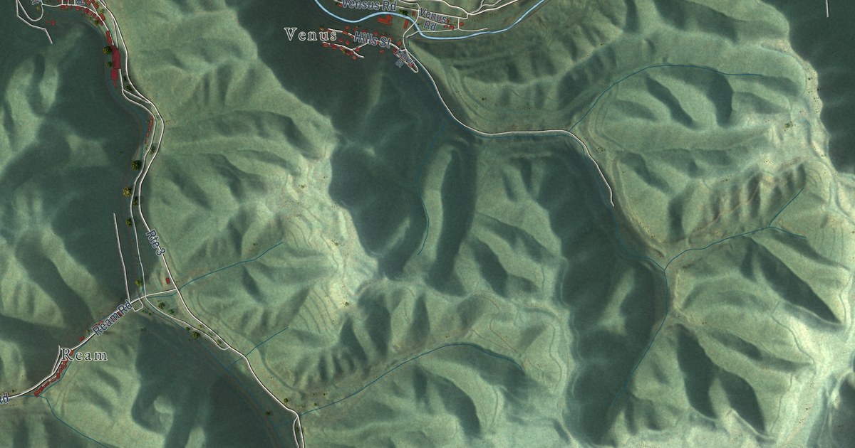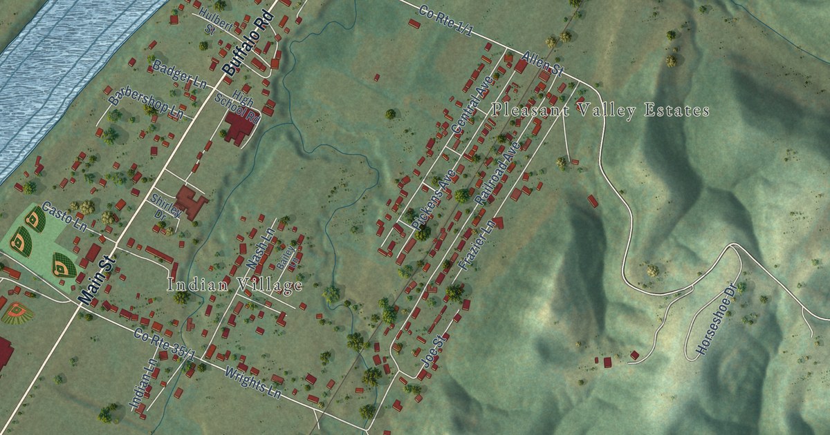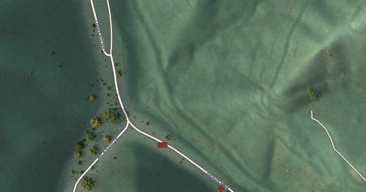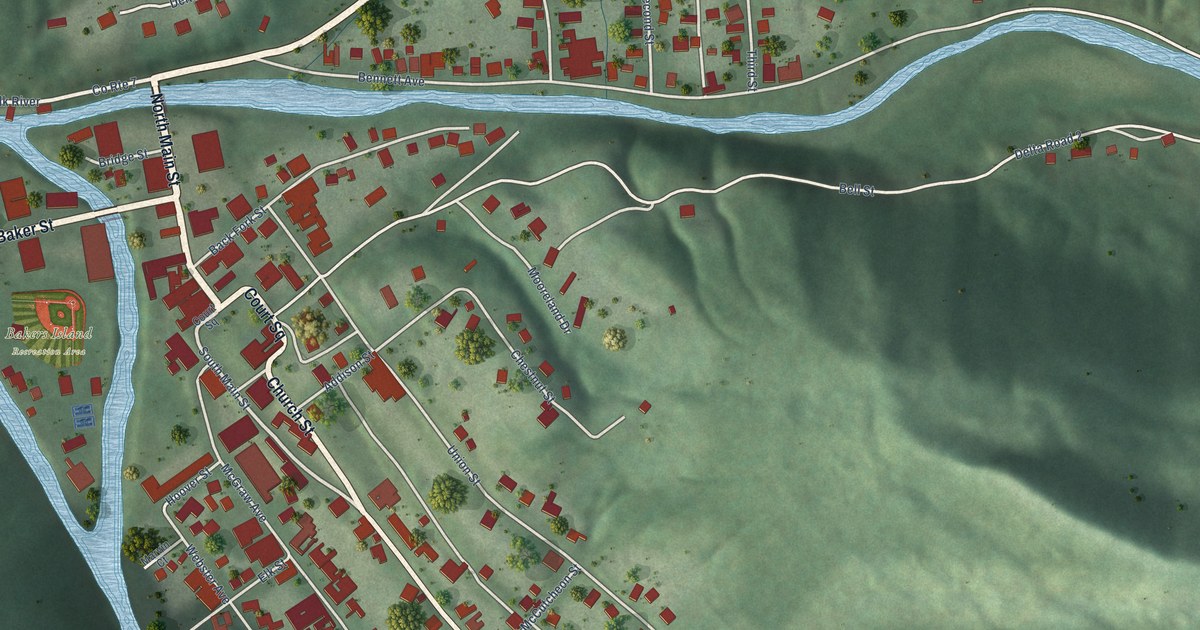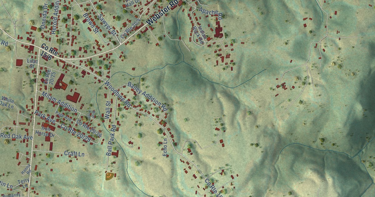
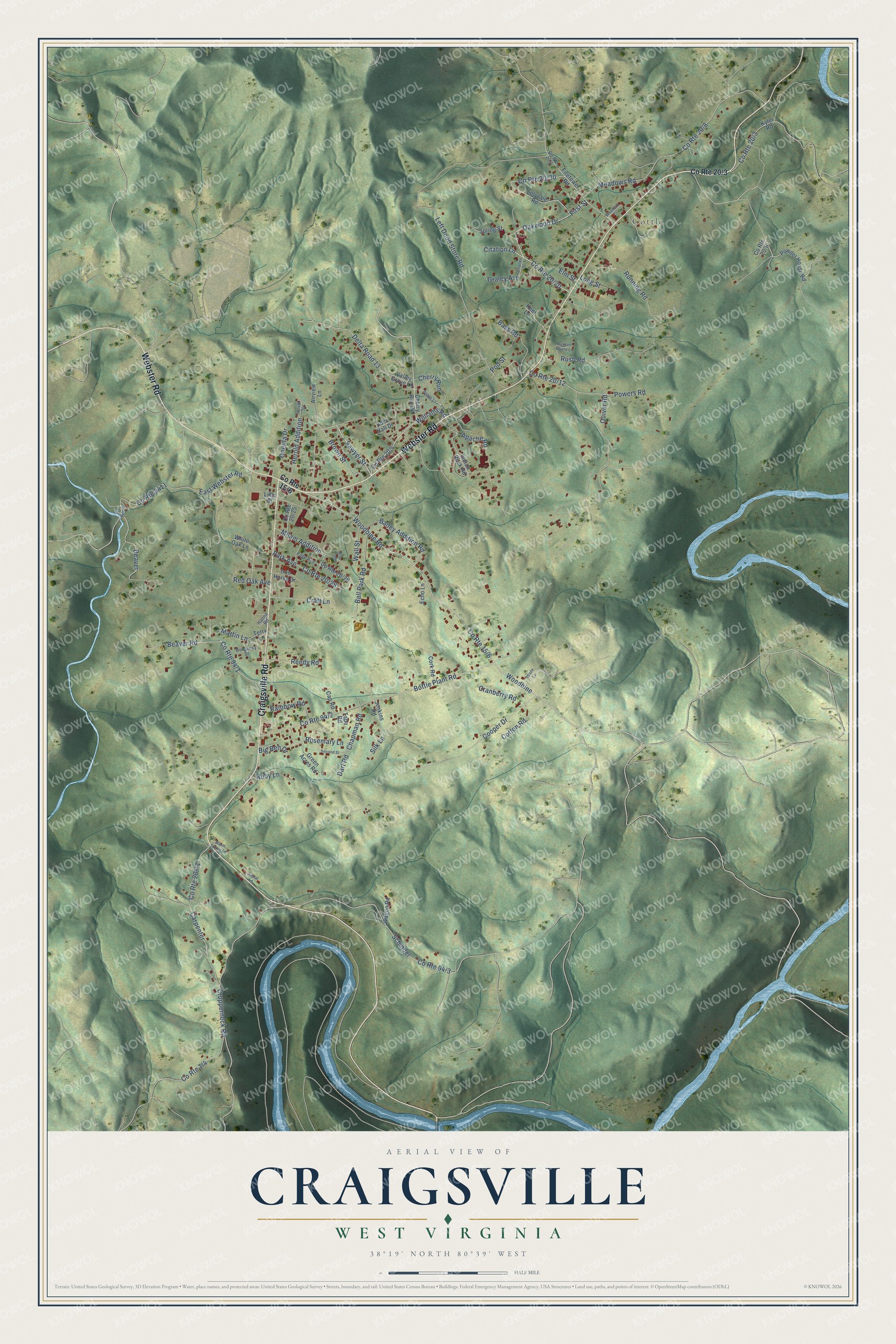
This beautifully detailed map of Craigsville, West Virginia was created in 2026 using aerial imagery combined with modern topographical, census, street and landmark data. It's a modern aerial view of Craigsville in Nicholas County, West Virginia, that combines modern data with a vintage aesthetic. The roads feature printed names, and if you look closely you can find your exact house accurately shown in its correct location.
Explore an aerial view of Craigsville, West Virginia
On this map you'll find Cottle, Webster Road, Craigsville Road, Brown Street, Cherry Run, Williams Road, Sawyer Street, Oakwood Drive, First Street, Woodbine Road, Milam Addition, Schindel, and more. Each red shape is a building, so zoom in on the preview and look for yours.
Craigsville is a community in Nicholas County. The Census Bureau counted 2,173 people here in 2020. Craigsville sits about 4 miles southwest of Camden-on-Gauley, 7 miles south of Tioga and 7 miles northwest of Fenwick. The map prints the town name in its title panel, with the coordinates below it.
Take a closer look at the Craigsville map
Names on this map
These names are printed on this map.
Places: Cottle.
Streets and roads: Webster Road, Craigsville Road, Brown Street, Cherry Run, Williams Road, Sawyer Street, Oakwood Drive, First Street, Woodbine Road, Milam Addition, Schindel, County Route 9411.
More street names, A to Z
Airview Lane, Apache Road, Bailey Addition Road, Ball Park Road, Bassett Hound Lane, Bass Road, Beaver, Beaver Road, Big Ben Drive, Blue Pond, Boggs Lane, Bottle Plant Road, Burgandy Street, Cap Road, Carpenter, Chapman Road, Charles Street, Cherry Run Road, Citation Lane, Cooper Drive, Cork Road, Cotton Road, County Route 5, Craft Lane, Cranberry Road, Crupperneck Road, Dart Road, Delta Road 13, East Webster Road, Echo Lane, Elm Street, Firetower Road, Graley Avenue, Green Acres Road, Hanna Road, Herold Addition, Herold Street, Indian Rock Road, Iron Horse Drive, Jenkins Road, John Hall Drive, Kent Lane, Kyler Road, Left Dodd Store Road, Lilac Street, Lillyvale Road, Long Street, Martin Lane, Meadows Road, Oneida Drive, Page Avenue, Park Avenue, Pod Street, Powder House Road, Powers Road, Quiver Road, Rainbow Road, Red Oak Avenue, Reedy Road, Rosemary Lane, Ruby Lane, Running Road, Rush Road, Second Street, Signal Lane, Silk Lane, Spring Street, Tape Road, Terry Lane, Valley Grove Lane, Wade Lane, Wagon Road, Wall Street, Warm Spring Lane, White Oak Lane, Woodbine, Woodson Court.
See it on a wall
The Craigsville map as a framed print. Swipe for more.


Created by KNOWOL in 2026. The buildings are small red shapes, the roads carry their printed names, and shaded relief shows the shape of the land. The title panel reads "AERIAL VIEW OF CRAIGSVILLE, WEST VIRGINIA" with 38°19' NORTH 80°39' WEST.
Hang it in the hallway, the office or the cabin, or give it to someone who left Craigsville and still calls it home. Open the preview and look for a street you know. See sizes and frames for the Craigsville map.