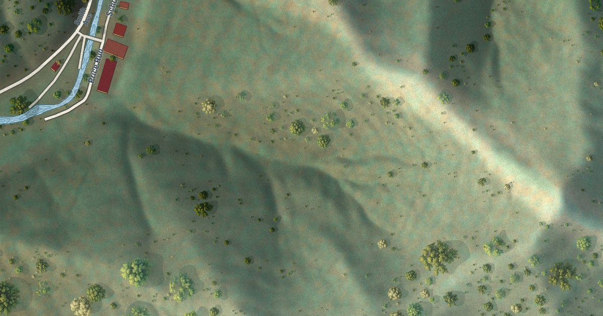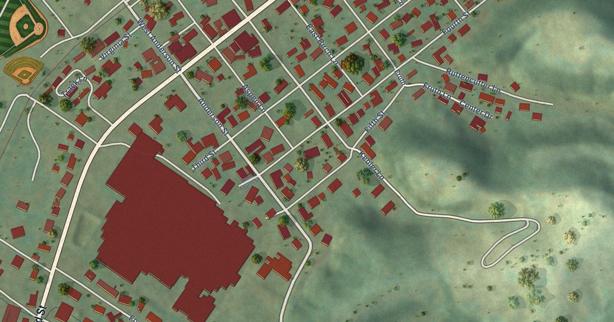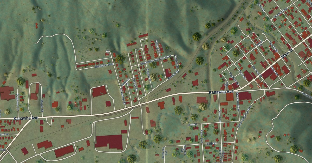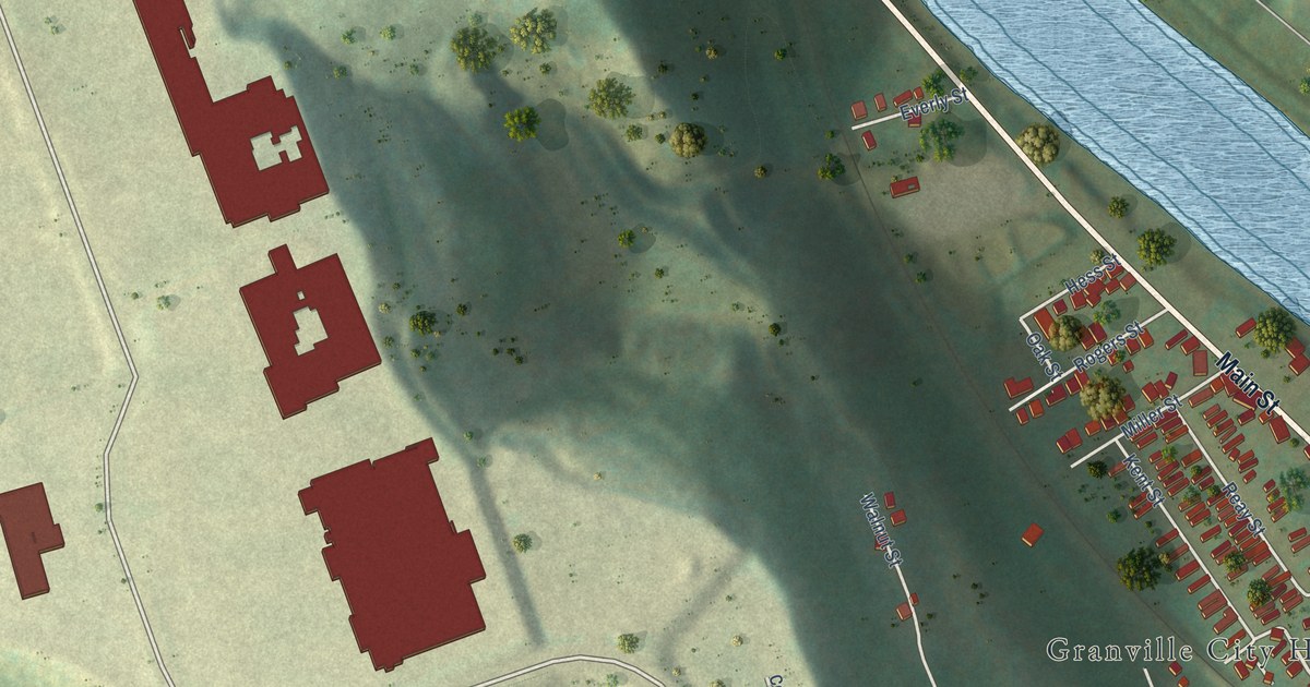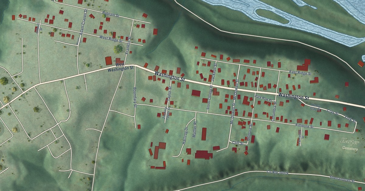
If you have family in Harpers Ferry, this print gives you a way to keep home close. It's a modern aerial view of Harpers Ferry in Jefferson County, West Virginia, made with modern data and a vintage feel. Blue water curves around green hills, with red buildings and pale streets drawn in fine detail.
Harpers Ferry Streets and John Brown's Fort
On this map you'll find Washington Street, High Street, Potomac Street, Shenandoah Street, Church Street, Fillmore Street, Jackson Street, Storer College Place, Clay Street, Lower Town, Harper Cemetery, and more. Each red shape is a building, so zoom in on the preview and look for yours.
Washington Street and Jackson Street share their names with the location of the Harpers Ferry/John Brown's Fort marker. It tells how Brown and his men used the armory's fire engine and guardhouse during his 1859 raid to free enslaved Black people. The building later made a long trip. It was displayed in Chicago during the 1893 World's Fair. Back in Harpers Ferry, it was placed on the Storer College campus in 1909. The fort moved to its present site in 1968. Storer College Place is another name you can find on this map.
A Harpers Ferry Map for Home
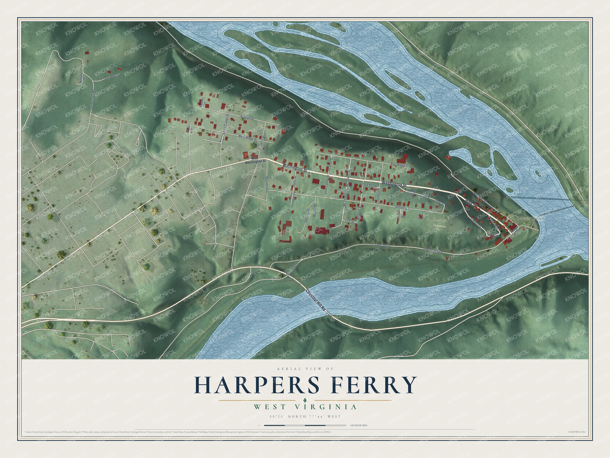
Created by KNOWOL in 2026, the print pairs green hills and blue water with red buildings and cream-colored streets. A fine border surrounds the view. The cream title panel reads AERIAL VIEW OF, HARPERS FERRY, WEST VIRGINIA, and 39°20' NORTH 77°44' WEST.
Hang it in a living room, office, or entryway. It's a gift for someone with family on Washington Street, or a way to share home with someone who moved away. Open the preview to take a closer look at the buildings and street names. See sizes and frames for the Harpers Ferry map.