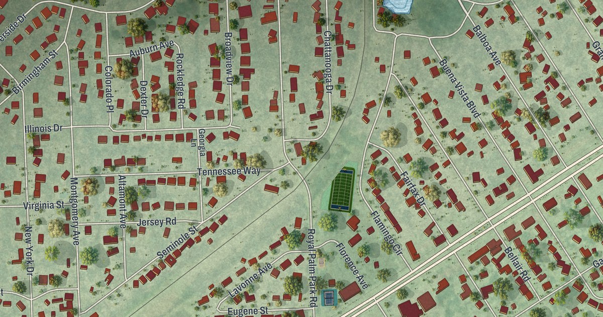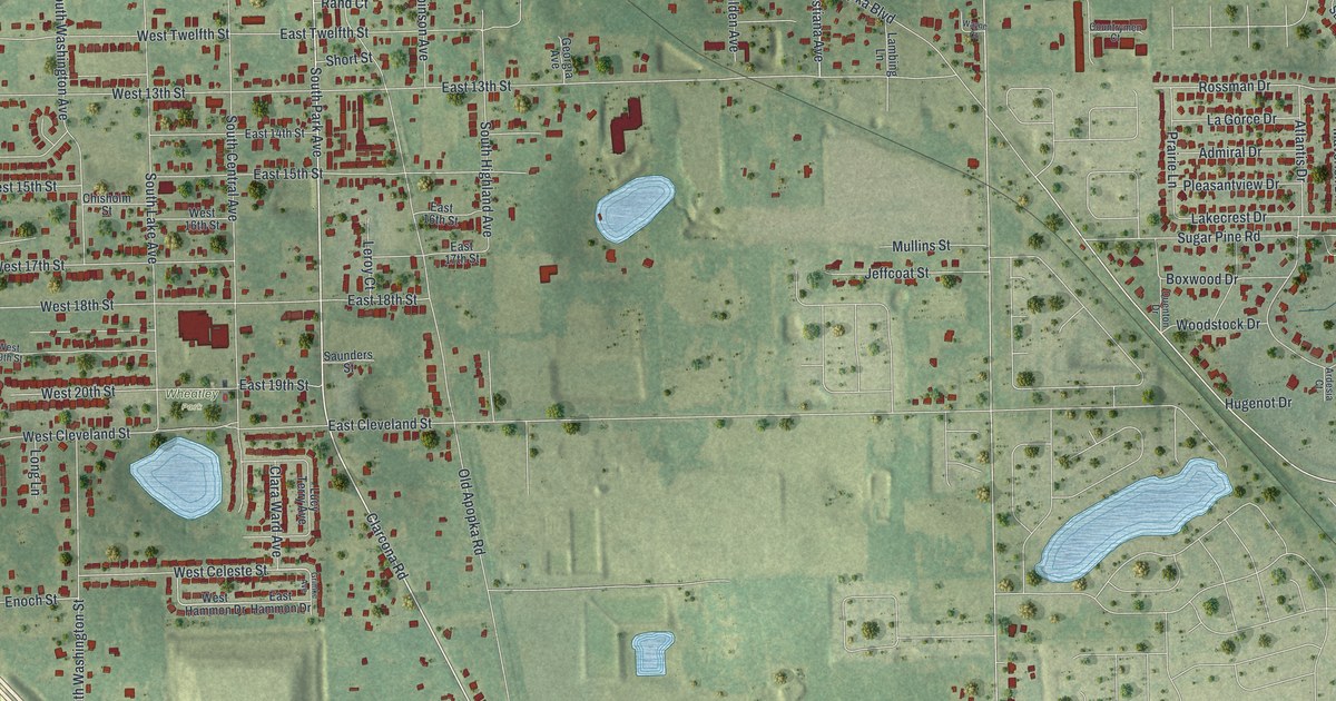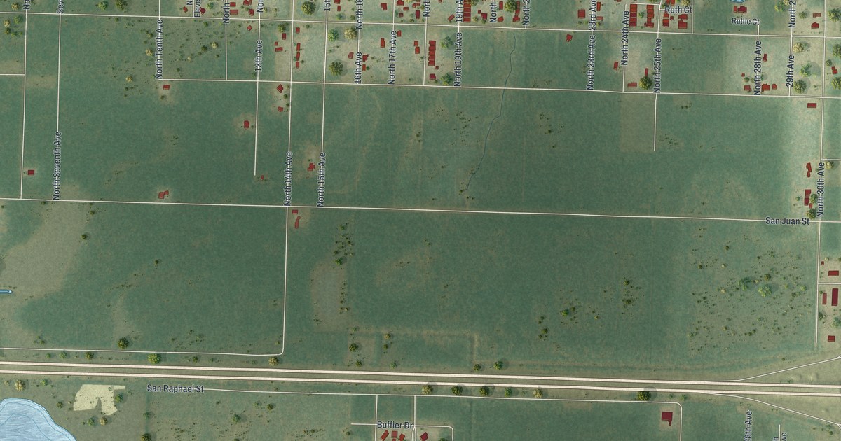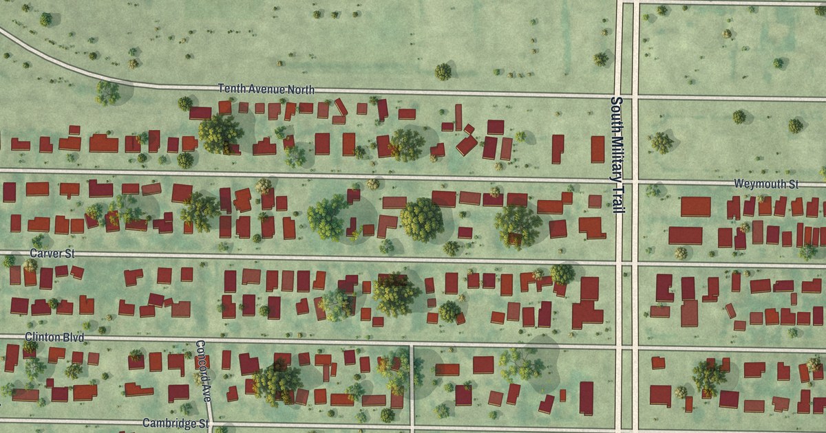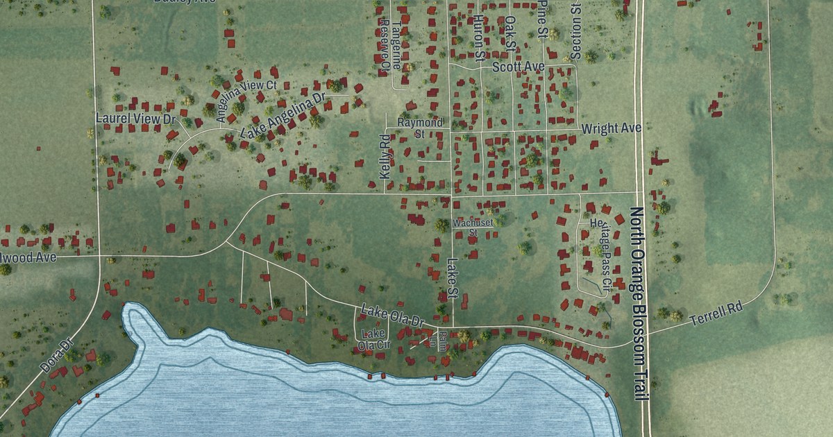
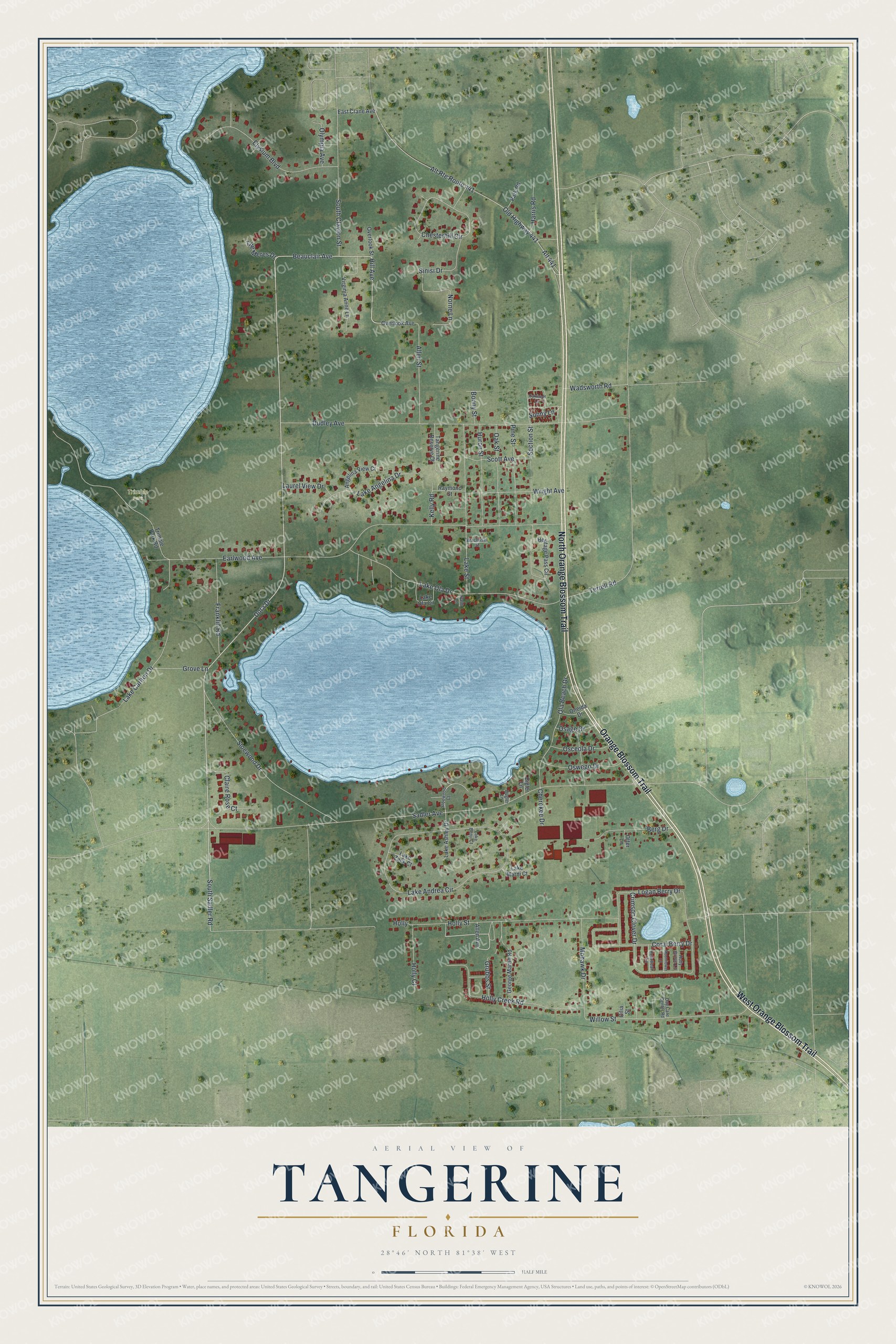
This beautifully detailed map of Tangerine, Florida was created in 2026 using aerial imagery combined with modern topographical, census, street and landmark data. It’s a one-of-a-kind view of Tangerine that combines accurate data with a vintage aesthetic. The map shows every building in its true location, many of the roads carry their names, and the shaded topographic relief shows the shape of the land.
Explore an aerial view of Tangerine, Florida
On the map you’ll find Trimble Park, along with North Orange Blossom Trail, Orange Blossom Trail, West Orange Blossom Trail, Dora Drive, Beauclair Avenue, Hill Avenue, South Sadler Road, Sadler Avenue, Earlwood Avenue, Holly Street, Dudley Avenue, and more. Tangerine sits about 4 miles south of Mount Dora, 5 miles northwest of Zellwood and 6 miles southwest of Sorrento. If you look closely you can even find your house accurately drawn in its correct location. Zoom in on the preview to look for yours.
Did You Know?
The community was first called Olaville, after Lake Ola. It became Tangerine after the sister-in-law of pioneer Dudley W. Adams grew a tangerine tree. Adams, a poet, writer and naturalist from Iowa, had settled on the east side of Lake Beauclair in 1875. Tangerine's church was first organized on May 4, 1886, as the Union Church of Christ, and was renamed the Tangerine Community Church in the late 1940s. That's from the Orange County Board of County Commissioners.
Take a closer look at the Tangerine map
Names on this map
These names are printed on this map.
Places: Trimble Park.
Streets and roads: North Orange Blossom Trail, Orange Blossom Trail, West Orange Blossom Trail, Dora Drive, Beauclair Avenue, Hill Avenue, South Sadler Road, Sadler Avenue, Earlwood Avenue, Holly Street, Dudley Avenue, Lake Andrea Circle.
More street names, A to Z
Allen Avenue, Allen Street, Alt 441, Alt Route Route 441, Angelina View Court, Berg Drive, Bigler Lane, Bonny Street, Bugler Lane, Cherokee Drive, Chesterhill Circle, Cilia Street, Claire Rose Court, Coral Berry Drive, Crimson Clover Drive, Day Care Center Road, East Crane Avenue, Elysium Boulevard, Franklin Road, George Martin Road, Grove Lane, Grubbs Street, Harris Road, Heartleaf Lane, Heritage Pass Circle, Holly, Holly Court, Holly Creek Road, Holly Grove Lane, Huron Street, Kelly Road, Lake Angelina Drive, Lake Ashley Drive, Lake Benji Court, Lake Carlton Drive, Lake Marni Court, Lake Ola Circle, Lake Ola Drive, Lake Street, Lake Zack Court, Laurel View Drive, Logan Berry Drive, Mohawk Drive, Moonflower Lane, Norne Lane, Oak Street, Oakwood Lane, Ola Beach Drive, Old Highway 441, Olympia Avenue, Oneida Drive, Osage Drive, Osceola Drive, Oswego Drive, Otter Lane, Overlook Avenue, Overlook Street, Palm Lane, Park Road, Pine Street, Raymond Street, Scott Avenue, Section Street, Sinisi Drive, Sloewood Court, Sloewood Drive, South Clayton Street, Sunny Lane, Tangerine Reserve Court, Terrell Road, The Meres Drive, Trimble Park Road, Virginia Anne Lane, Wachuset Street, Wadsworth Road, Willow Street, Wright Avenue.
See it on a wall
The Tangerine map as a framed print. Swipe for more.


This beautifully detailed map of Tangerine makes an attractive addition to your office, library, or den, and it can even be used to teach children the geography and history of the area. It also makes a great gift for someone who left Tangerine and still calls it home. When you’re done exploring, click here to get your copy of the Tangerine map.