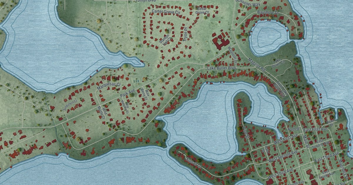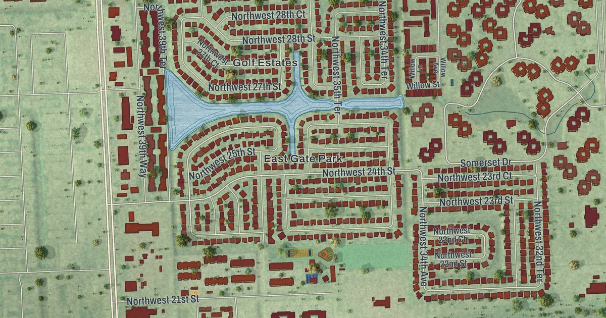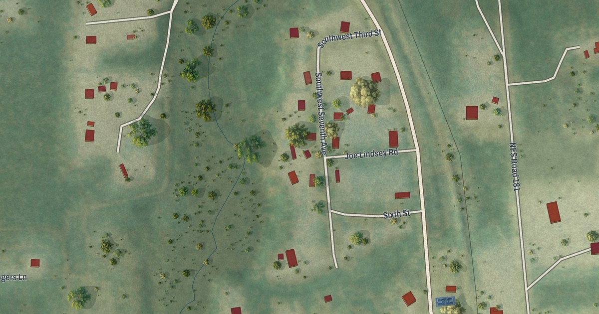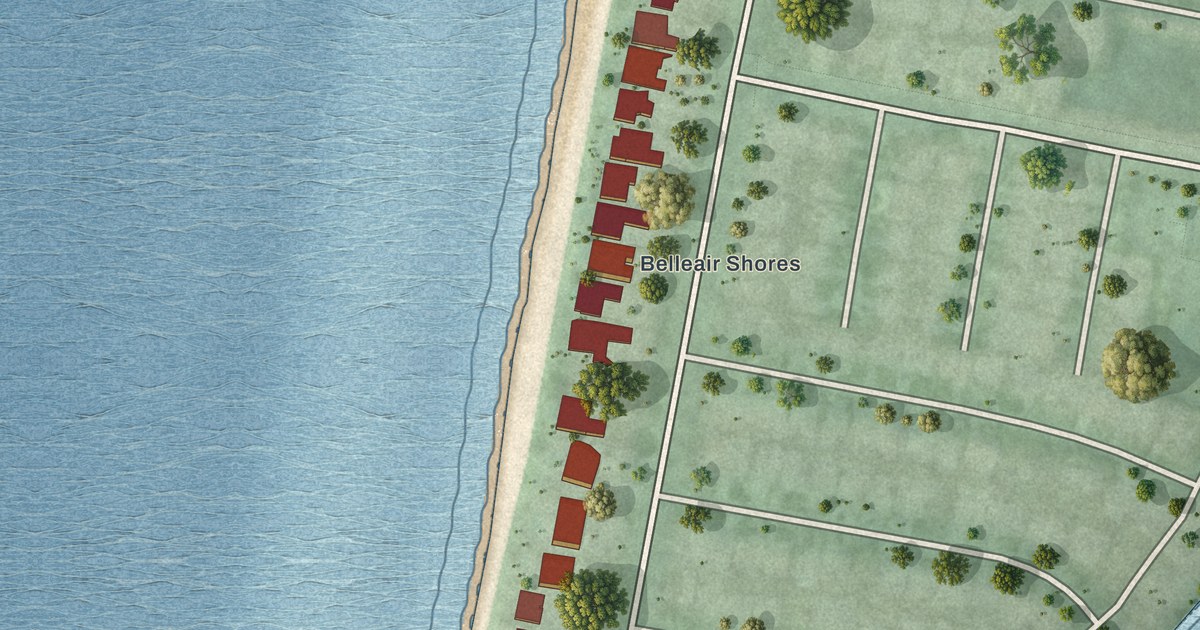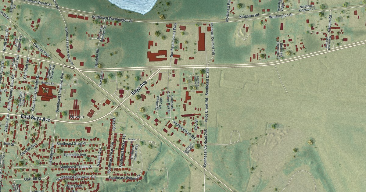
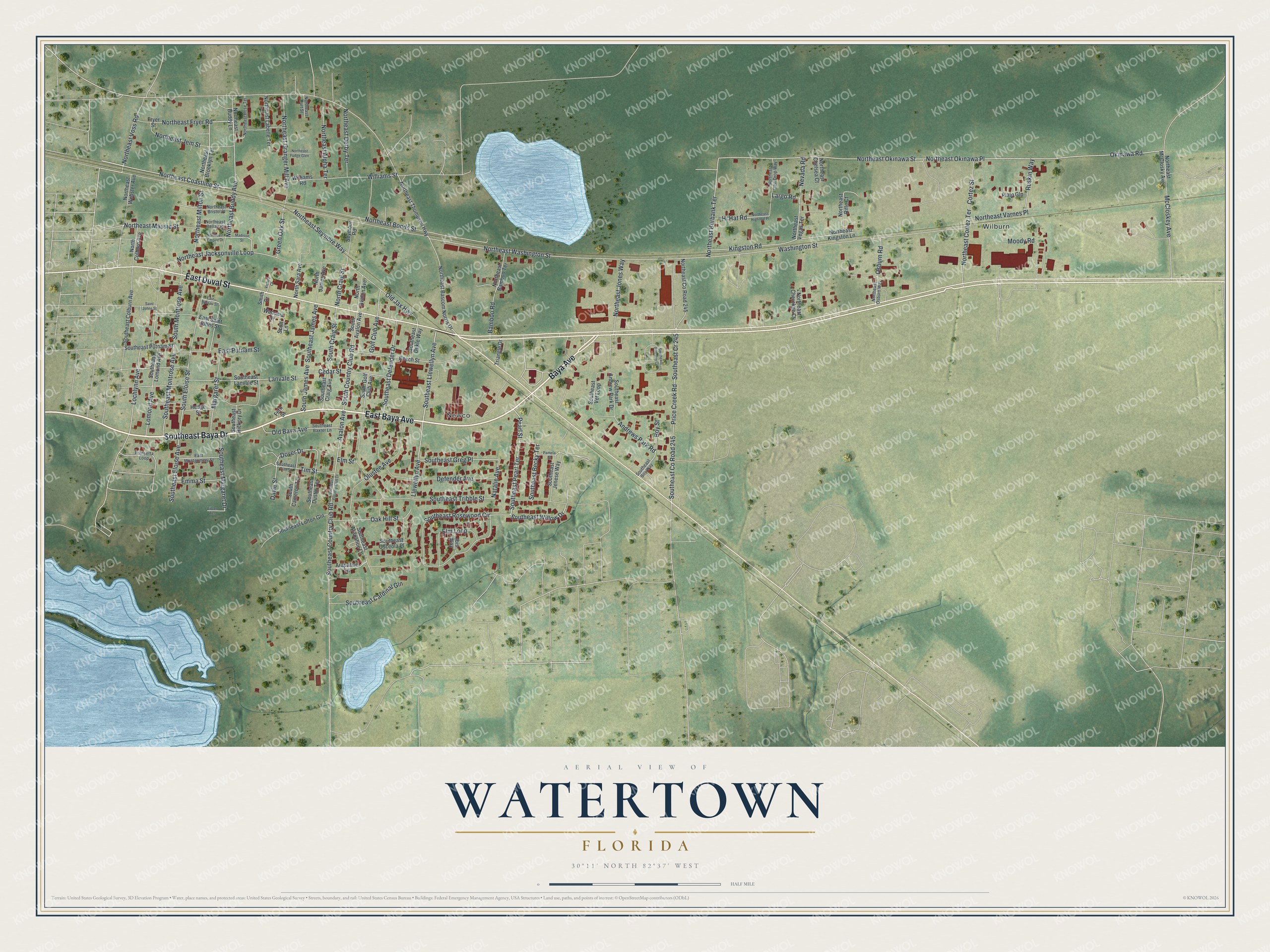
This beautifully detailed map of Watertown, Florida was created in 2026 using aerial imagery combined with modern topographical, census, street and landmark data. It's a modern aerial view of Watertown in Columbia County, Florida, that combines modern data with a vintage aesthetic. The roads feature printed names, and if you look closely you can find your exact house accurately shown in its correct location.
Explore an aerial view of Watertown, Florida
On this map you'll find Wilburn, Newco, East Baya Avenue, East Duval Street, Southeast Baya Drive, Baya Avenue, Southeast Pearl Terrace, Southeast Willow Drive, Pearl Street, Southeast Llewellyn Avenue, Northeast Coastline Street, Northeast Okinawa Street, and more. Each red shape is a building, so zoom in on the preview and look for yours.
Here is a piece of Watertown history. The three Paul brothers' East Coast Lumber Company had a sizable sawmill at Watertown, with thousands of acres of timberland, orange groves, truck farms and a railroad. In 1914 the brothers found themselves owning an elephant, a camel, a lion, a tiger and a kangaroo trained to box, after a circus went broke in St. Augustine owing the company for lumber. That's from the American Lumberman trade journal.
Watertown is a community in Columbia County. The Census Bureau counted 3,018 people here in 2020. Watertown sits about 2 miles east of Lake City, 3 miles southeast of Five Points and 14 miles southeast of White Springs. The map prints the town name in its title panel, with the coordinates below it.
Take a closer look at the Watertown map
Names on this map
These names are printed on this map.
Places: Wilburn and Newco.
Streets and roads: East Baya Avenue, East Duval Street, Southeast Baya Drive, Baya Avenue, Southeast Pearl Terrace, Southeast Willow Drive, Pearl Street, Southeast Llewellyn Avenue, Northeast Coastline Street, Northeast Okinawa Street, Southeast Greg Place, Okinawa Road.
More street names, A to Z
Andrews Park Road, Arapahoe Lane, Avalon Avenue, Bamboo Road, Beech Street, Boy Street, Cedar Street, Cortez Street, Davie Street, Defender Avenue, Dover Drive, East Montgomery Street, East Nassau Street, East Putnam Street, East Saint Johns Street, Eileen Terrace, Elm Loop, Elm Street, Emma Street, Fern Street, Fryer Street, Golf Club Avenue, Green Oak Street, Hedge Street, Hi Hat Road, Ibis Way, Kingston Road, Lanvale Street, Largo Road, Llewellyn Avenue, Lochlynn Avenue, Lomond Avenue, Madison Street, Margaret Street, McCloskey Avenue, Moody Road, Natalie Avenue, Nevada Road, North Avalon Avenue, North Colburn Avenue, North Craig Street, Northeast Alpha Terrace, Northeast Bamboo Terrace, Northeast Bascom Norris Drive, Northeast Bellair Place, Northeast Bonds Street, Northeast Bristol Place, Northeast Brooklyn Terrace, Northeast Buddy Avenue, Northeast Buddy Lane, Northeast Burbank Terrace, Northeast Chelsea Court, Northeast Cherokee Court, Northeast Cortez Terrace, Northeast County Road 245, Northeast Curt Street, Northeast Derby Terrace, Northeast Dew Drop Way, Northeast Empire Drive, Northeast Fryer Road, Northeast Fudge Glen, Northeast Granger Mill Avenue, Northeast High Hat Place, Northeast Jacksonville Loop, Northeast Jem Street, Northeast Jones Way, Northeast Kingston Lane, Northeast Labelle Terrace, Northeast Massie Street, Northeast McClosky Avenue, Northeast Milton Street, Northeast Okinawa Place, Northeast Osburn Way, Northeast Rifle Court, Northeast Rose Terrace, Northeast Seymore Way, Northeast Thompson Highway, Northeast Varnes Place, Northeast Vegas Terrace, Northeast Voss Road, Northeast Washington Street, Northeast Webster Avenue, North James Avenue, North Sara Avenue, Oak Hill Street, Old Baya Avenue, Old Jax Highway, Olustee Avenue, Osburn Road, Pamela Street, Plato Gln, Poinsetta Loop, Price Creek Road, Ruskin Way, Saint Johns Street, Scott Lane, Seymour Road, Smith Drive, South Avalon Avenue, South Cameron Terrace, South Country Club Road, South Craig Street, Southeast Andrew Park Drive, Southeast Arapahoe Lane, Southeast Baxter Lane, Southeast Becky Terrace, Southeast Boy Way, Southeast Cardinal Gln, Southeast Colburn Avenue, Southeast Country Club Drive, Southeast Country Club Road, Southeast County Road 245, Southeast Cr 245, Southeast Craig Avenue, Southeast Defender Drive, Southeast Dekle Way, Southeast Dustin Terrace, Southeast Eloise Avenue, Southeast Forestry Circle, Southeast Hickory Drive, Southeast James Avenue, Southeast Jenese Way, Southeast Lanvale Street, Southeast Lofton Gln, Southeast Lomond Avenue, Southeast Margaret Drive, Southeast Montrose Avenue, Southeast Osceola Place, Southeast Putnam Street, Southeast Rosewood Circle, Southeast Tim Street, Southeast Tribble Street, Southeast Vet Loop, South Eloise Street, South Golf Club Avenue, South James Avenue, South Montrose Avenue, Tim Street, Triangle Drive, Victory Court, Waconia Drive, Washington Street, Williams Road, Williams Street.
See it on a wall
The Watertown map as a framed print. Swipe for more.


Created by KNOWOL in 2026. The buildings are small red shapes, the roads carry their printed names, and shaded relief shows the shape of the land. The title panel reads "AERIAL VIEW OF WATERTOWN, FLORIDA" with 30°11' NORTH 82°37' WEST.
It suits a den, a classroom or a front hall, and it makes a gift for anyone with Watertown roots. Open the preview and find the block you know. See sizes and frames for the Watertown map.