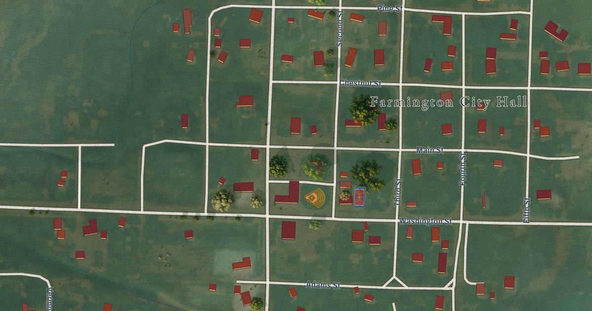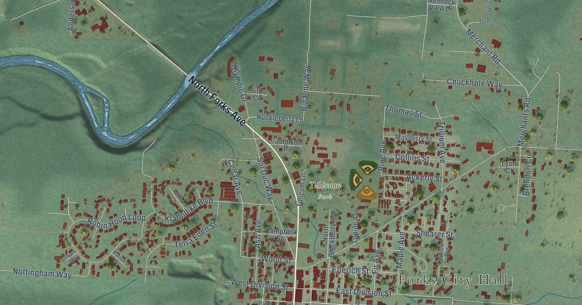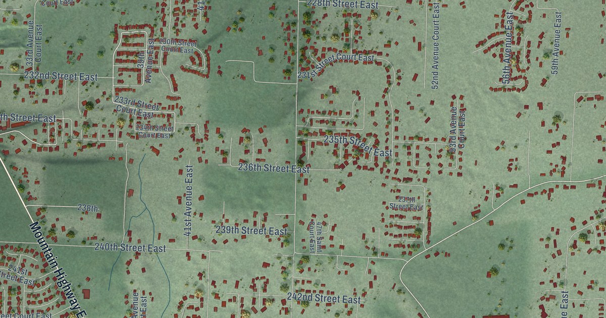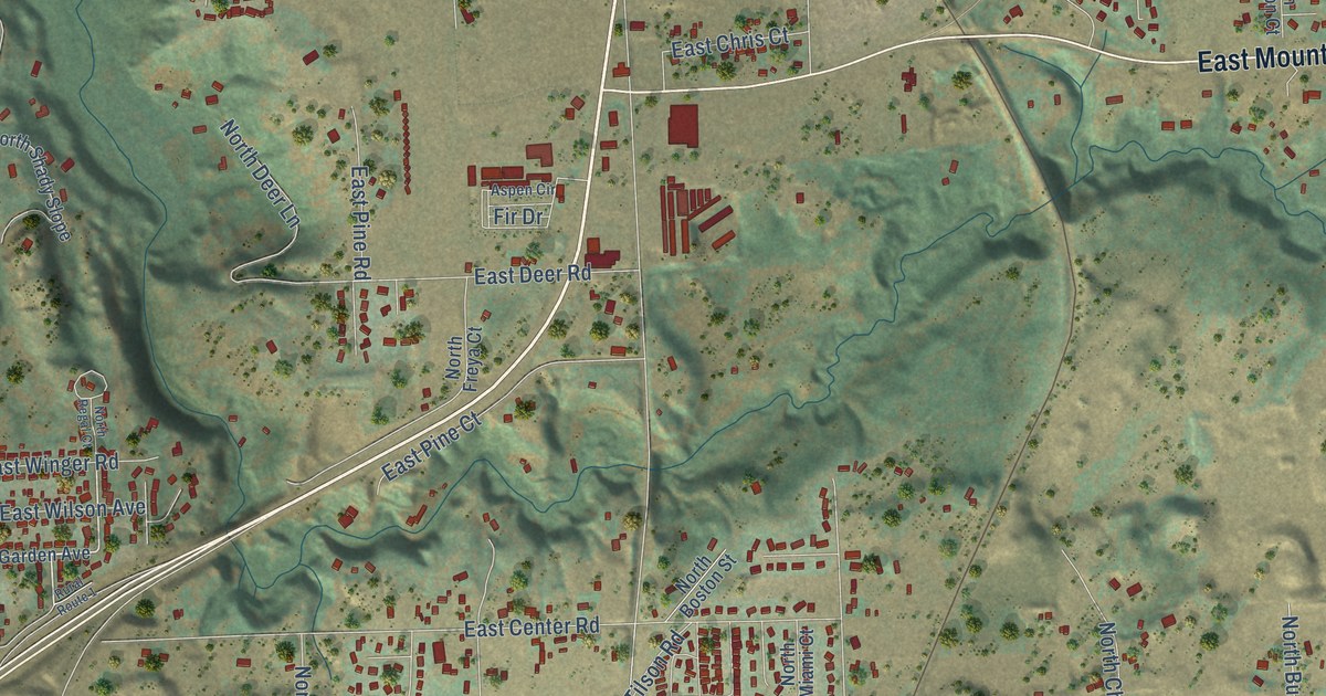
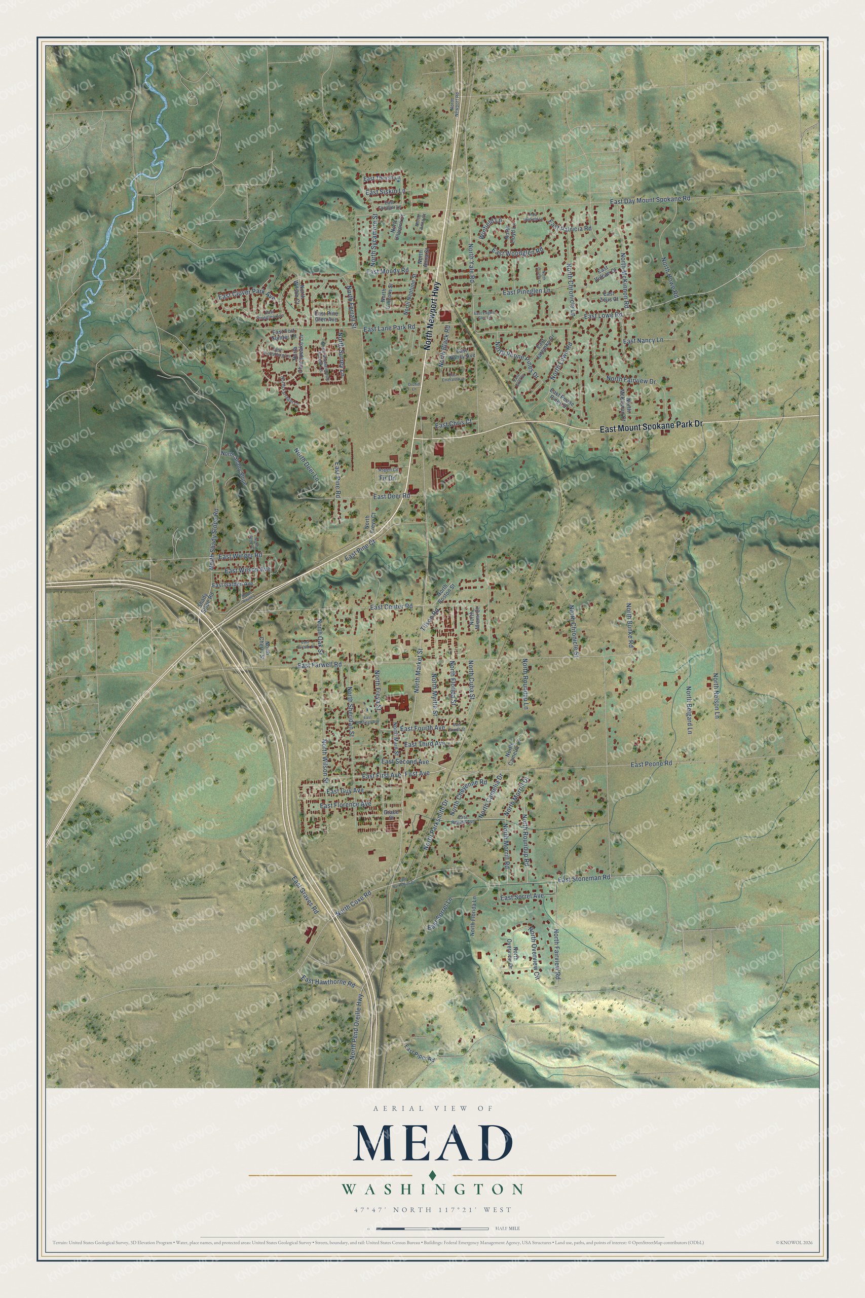
This beautifully detailed map of Mead, Washington was created in 2026 using aerial imagery combined with modern topographical, census, street and landmark data. It's a modern aerial view of Mead in Spokane County, Washington, that combines modern data with a vintage aesthetic. The roads feature printed names, and if you look closely you can find your exact house accurately shown in its correct location.
Explore an aerial view of Mead, Washington
On this map you'll find North Newport Highway, East Mount Spokane Park Drive, East Peone Road, East First Avenue, First Avenue, North Yale Road, East Lowe Road, East Lane Park Road, North Market Street, North Fairview Road, North Pend Oreille Highway, North Shady Slope Road, and more. Each red shape is a building, so zoom in on the preview and look for yours.
Every town has a first chapter, and Mead is no exception. James Berridge named Mead in honor of General George Gordon Meade of the Union Army in the Civil War. The town's postmaster gave that account to historian Edmond S. Meany. That's from the Washington Historical Quarterly.
Mead is a community in Spokane County. The Census Bureau counted 7,576 people here in 2020.
Take a closer look at the Mead map
Names on this map
These names are printed on this map.
Streets and roads: North Newport Highway, East Mount Spokane Park Drive, East Peone Road, East First Avenue, First Avenue, North Yale Road, East Lowe Road, East Lane Park Road, North Market Street, North Fairview Road, North Pend Oreille Highway, North Shady Slope Road.
More street names, A to Z
Aspen Circle, East Bixel Court, East Carlson Street, East Center Road, East Chris Court, East Clover Park Avenue, East Day Mount Spokane Road, East Deer Road, East Eagles Glen Lane, East Emerald Avenue, East Farwell Road, East Florence Avenue, East Fort Sumter Lane, East Fourth Avenue, East Fourth Street, East Garden Avenue, East Graves Road, East Guy Avenue, East Hastings Avenue, East Hawthorne Road, East Jaremko Drive, East Moody Road, East Nancy Avenue, East Nancy Lane, East Parksmith Drive, East Patricia Road, East Peone Pines Drive, East Pine Court, East Pine Glen Avenue, East Pineglen Avenue, East Pineglen Lane, East Pine Road, East Piper Road, East Regina Avenue, East Second Avenue, East Siskin Lane, East Sorrel Avenue, East Sorrel Lane, East Stoneman Road, East Tanager Lane, East Third Avenue, East Thrush Lane, East Vicksburg Lane, East Vulcan Court, East Wilson Avenue, East Winfield Lane, East Winger Road, East Woodglen Road, East Zeus Court, Fir Drive, Grace Street, North Anna Court, North Anna Street, North Belgard Lane, North Black Road, North Boston Street, North Bunke Road, North Camelia Drive, North Camelia Lane, North Cherry Street, North Chesapeake Lane, North Cheyenne Road, North Chronicle Lane, North Chronicle Street, North Coxe Road, North Cuba Street, North Custer Court, North Deer Lane, North Fairview Drive, North Farragut Lane, North Ferrall Street, North Florida Lane, North Florida Street, North Freya Court, North Freya Street, North Howe Road, North Lloyd Lane, North Lowe Road, North Main Street, North McKinnon Court, North McKinnon Road, North Miami Court, North Morrill Drive, North Morrill Road, North Myrtle Street, North Nelson Lane, North Neptune Street, North Newport Road, North Oak Street, North Overview Circle, North Overview Drive, North Parksmith Drive, North Peone Pines Drive, North Regal Court, North Roundup Lane, North Roundup Road, North Shady Slope, North Shenandoah Forest Lane, North Sheridan Street, North Surrey Lane, North Sycamore Street, North Unicorn Court, North Unicorn Street, North Wilson Court, North Wilson Street, Orchid Lane, Rural Route 1, Shady Slope Road, Tilson Road, Winfield Lane.
See it on a wall
The Mead map as a framed print. Swipe for more.


Created by KNOWOL in 2026. The buildings are small red shapes, the roads carry their printed names, and shaded relief shows the shape of the land. The title panel reads "AERIAL VIEW OF MEAD, WASHINGTON" with 47°47' NORTH 117°21' WEST.
Hang it in the hallway, the office or the cabin, or give it to someone who left Mead and still calls it home. Open the preview and look for a street you know. See sizes and frames for the Mead map.