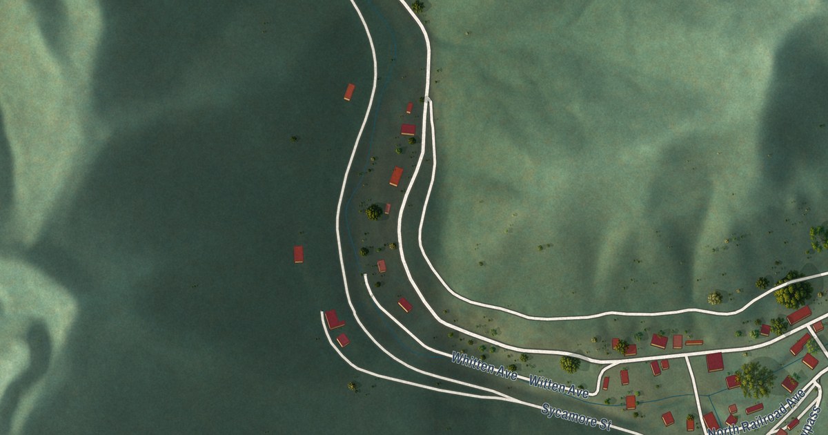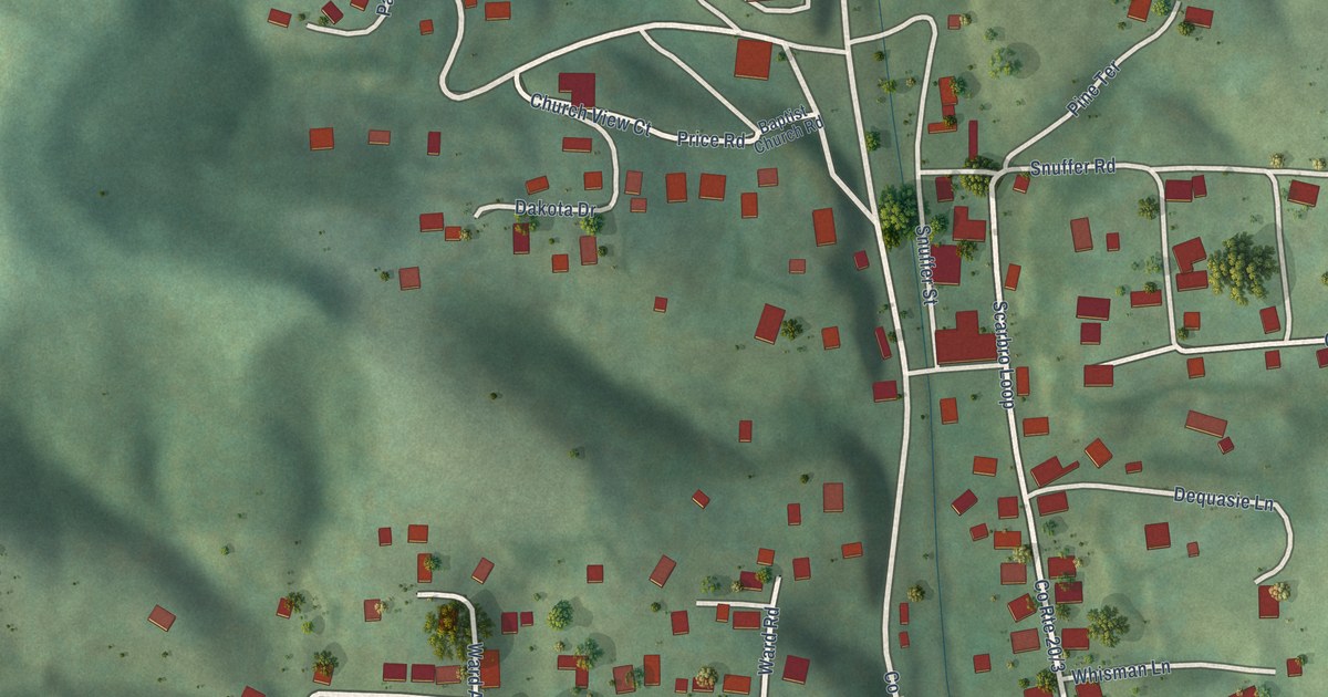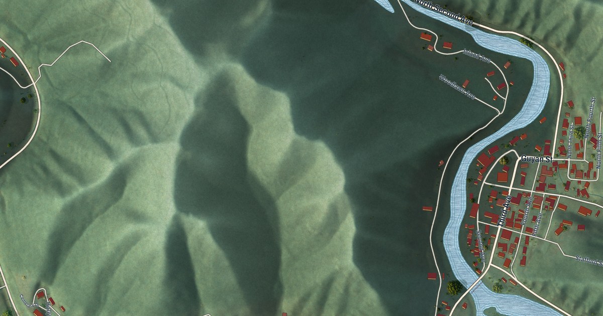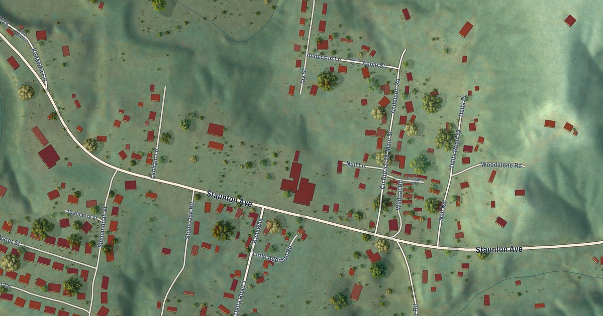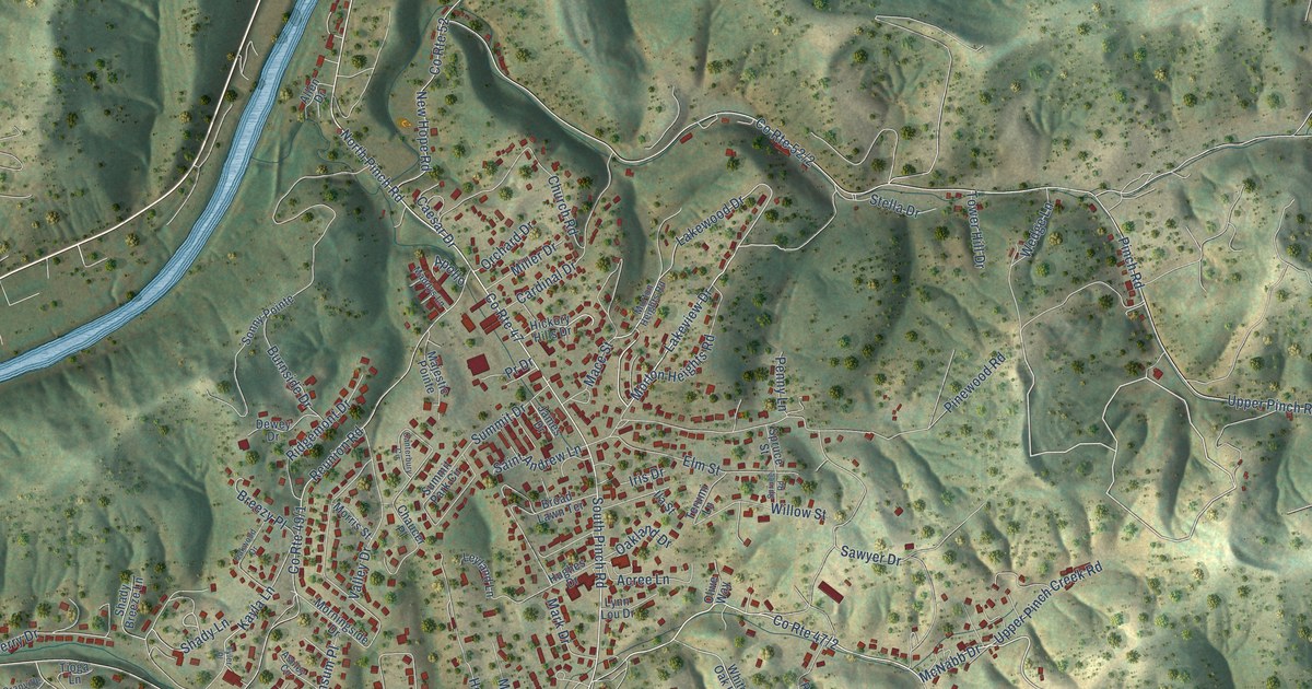
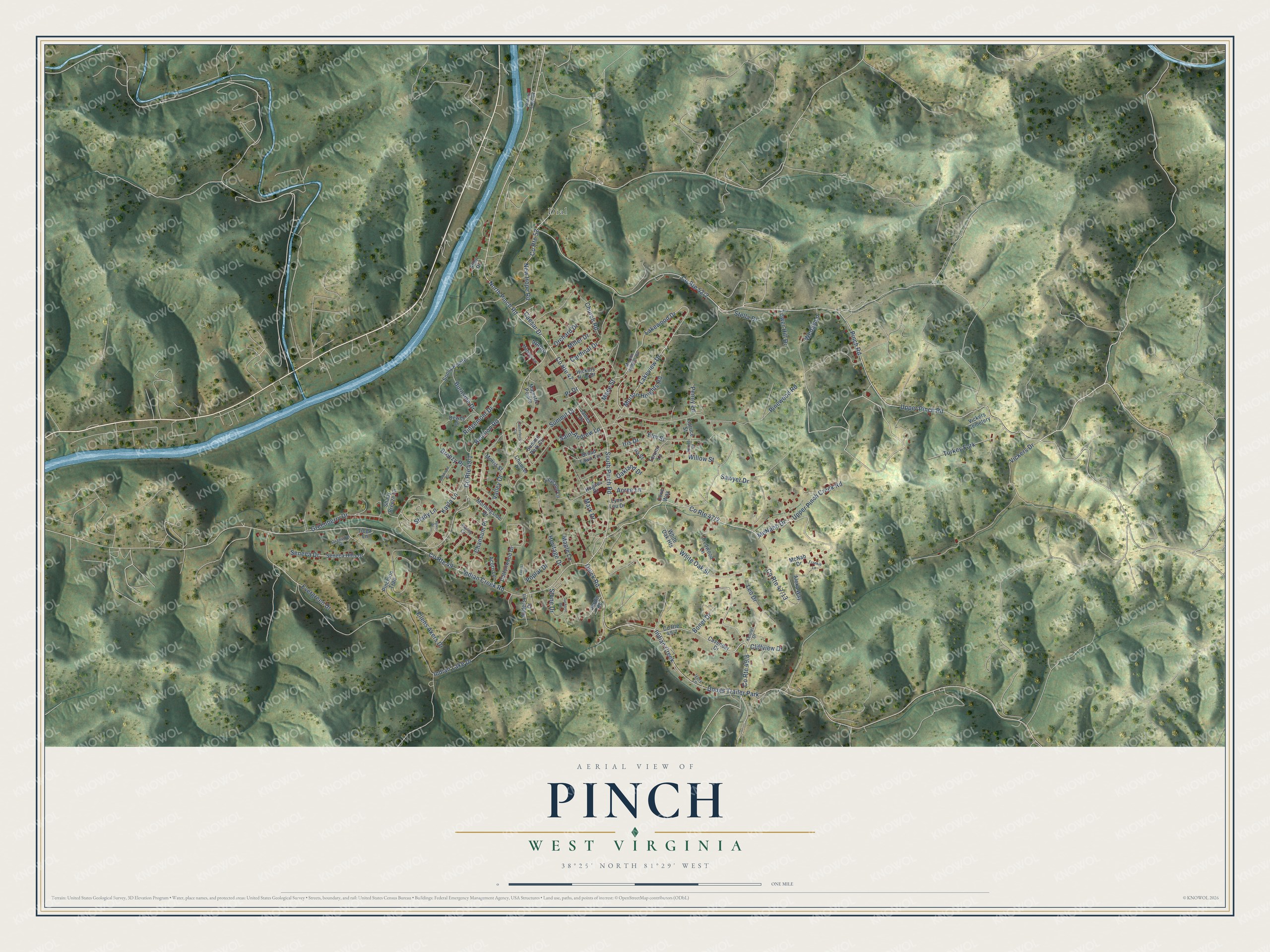
This beautifully detailed map of Pinch, West Virginia was created in 2026 using aerial imagery combined with modern topographical, census, street and landmark data. It's a modern aerial view of Pinch in Kanawha County, West Virginia, that combines modern data with a vintage aesthetic. The roads feature printed names, and if you look closely you can find your exact house accurately shown in its correct location.
Explore an aerial view of Pinch, West Virginia
On this map you'll find Dial, McNabb Drive, Boner Drive, Evergreen Drive, North Pinch Road, Pinewood Road, Lakeview Drive, Shady Lane, Greenberry Drive, Mace Street, Chansum Place, Stone Drive, and more. Each red shape is a building, so zoom in on the preview and look for yours.
Every town has a first chapter, and Pinch is no exception. Pinch is named for Pinch Creek, which was first called Pinch Gut Creek. Ellie Teaford of the Elk Valley Branch Library said early settlers named it during a hard time, when food was scarce and they were feeling a pinch in their gut. Neighboring Quick is named for the Quick family. A former Pinch Elementary School student recalled that saying the school's name out loud would get you pinched. That's from the West Virginia Public Broadcasting newsroom.
Pinch is a community in Kanawha County. The Census Bureau counted 2,914 people here in 2020. Pinch sits about 2 miles south of Elkview, 3 miles east of Big Chimney and 6 miles northeast of Coal Fork. The map prints the town name in its title panel, with the coordinates below it.
Take a closer look at the Pinch map
Names on this map
These names are printed on this map.
Places: Dial, Dougs Trailer Park and Vickers Cemetery.
Streets and roads: McNabb Drive, Boner Drive, County Route 47, Evergreen Drive, North Pinch Road, Pinewood Road, Lakeview Drive, Shady Lane, Greenberry Drive, Mace Street, Chansum Place, Stone Drive.
More street names, A to Z
Acorn Lane, Acree Lane, Alexa Way, Allen Drive, Anderson Drive, Apollo, Ashley Circle, Breezy Place, Broad Lawn Terrace, Burnside Drive, Caesar Drive, Canterbury Circle, Cardinal Drive, Cavender Drive, Chaucer Place, Church Road, Cliffview Drive, Cottonwood Drive, County Route 49, County Route 52, Dewey Drive, Ellens Akers Drive, Elm Street, Forest Drive, Frankie Lane, Granville Drive, Heritage Drive, Hickory Hills Drive, Hughes Drive, Ila Street, Indian Creek, Indian Creek Road, Indian Lake Drive, Iris Drive, Ivory Lane, Jackson Drive, James Drive, Jardin Road, Kayla Lane, Kennel Drive, Lakewood Drive, Leo Drive, Leyland Lane, Lynn Lou Drive, Maddys Lane, Majestic Pointe, Maple Lane, Mark Drive, McNab Drive, Miller Drive, Morningside Drive, Morris Street, Morton Heights Road, New Hope Road, Oakland Drive, Oakwood Drive, Olive Way, Orchard Drive, Penny Lane, Pinch Road, Pinchton Trail, Poplar Drive, Pr Drive, Quick Road, Redwood Lane, Reunion Road, Ridgemont Drive, Saint Andrew Lane, Sawyer Drive, Seneca Drive, Seneca Hills Drive, Shady Breeze Lane, Sonny Pointe, South Pinch Road, Spruce Road, Spruce Street, Stella Drive, Summit Drive, Summit Park Circle, Terumi Lane, Tioga Lane, Tower Hill Drive, Turkey Fork, Tyler Place, Upper Pinch Creek Road, Upper Pinch Road, Valley Drive, Vickers Drive, Waters Edge Drive, Wedge Lane, White Oak Heights, White Oak Street, Willow Street.
See it on a wall
The Pinch map as a framed print. Swipe for more.


Created by KNOWOL in 2026. The buildings are small red shapes, the roads carry their printed names, and shaded relief shows the shape of the land. The title panel reads "AERIAL VIEW OF PINCH, WEST VIRGINIA" with 38°25' NORTH 81°29' WEST.
Hang it in the hallway, the office or the cabin, or give it to someone who left Pinch and still calls it home. Open the preview and look for a street you know. See sizes and frames for the Pinch map.