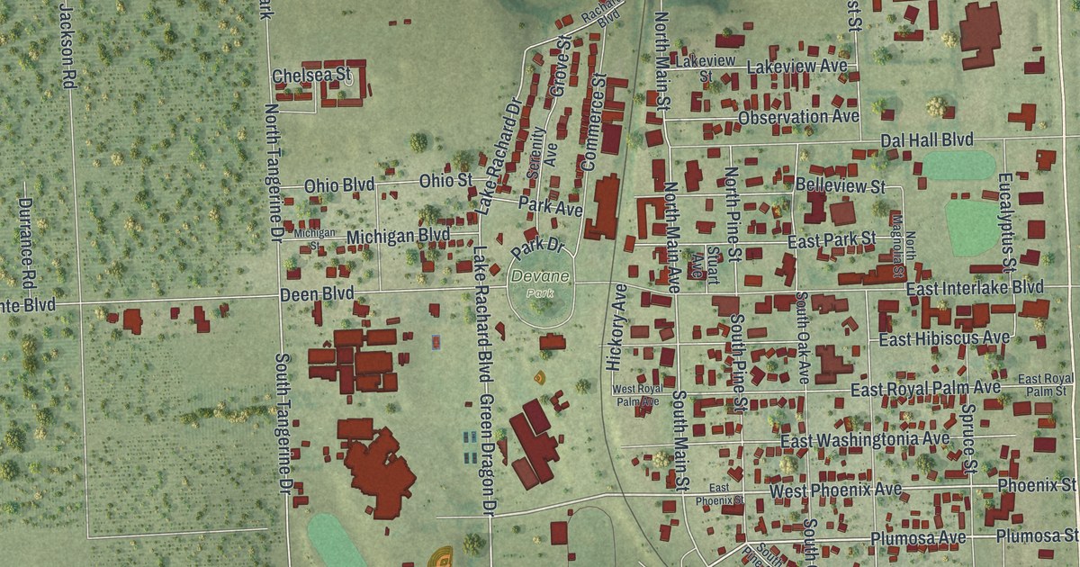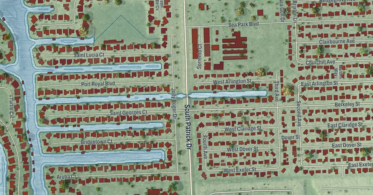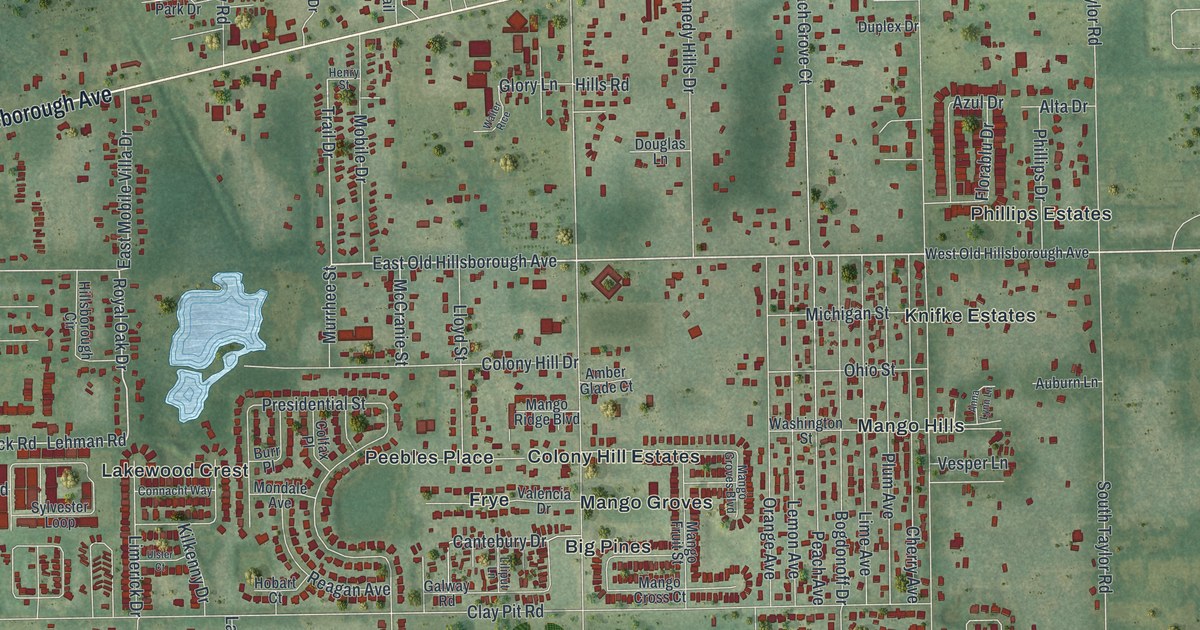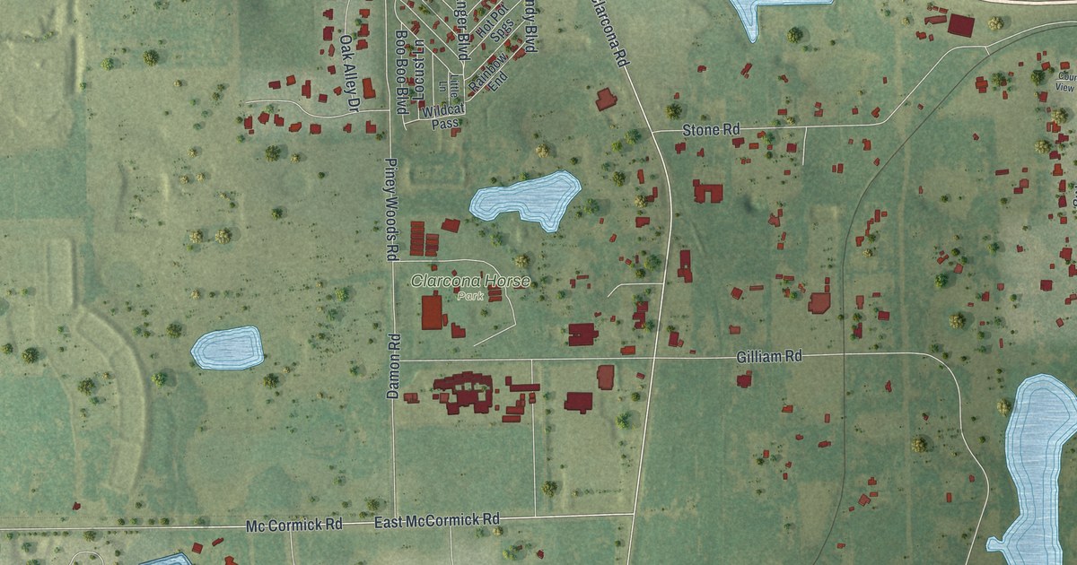
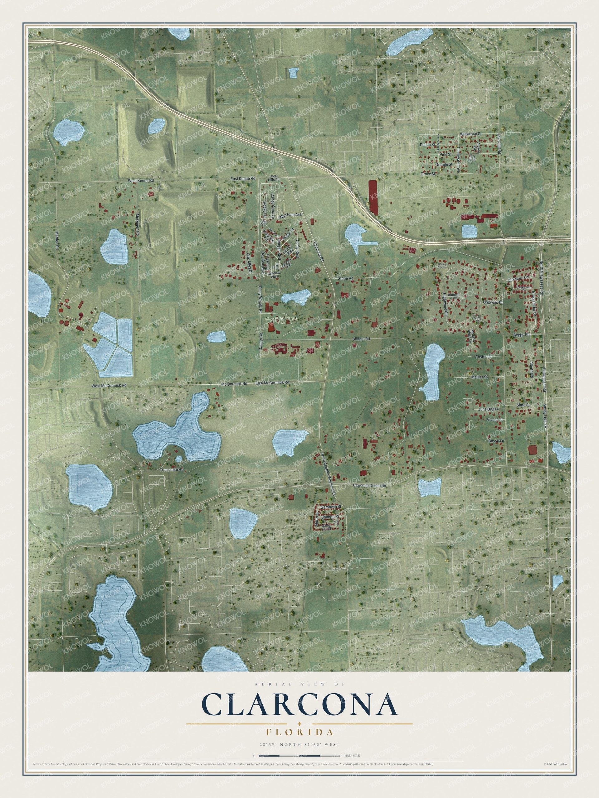
This beautifully detailed map of Clarcona, Florida was created in 2026 using aerial imagery combined with modern topographical, census, street and landmark data. It's a modern aerial view of Clarcona in Orange County, Florida, that combines modern data with a vintage aesthetic. The roads feature printed names, and if you look closely you can find your exact house accurately shown in its correct location.
Explore an aerial view of Clarcona, Florida
On this map you'll find Clarcona Horse Park, Clarcona Road, Marden Road, East McCormick Road, Mc Cormick Road, East Keene Road, Clarcona Ocoee Road, Metro Drive, Lakeville Road, Gilliam Road, Hiawassee Road, Sandy Lane Drive, and more. Each red shape is a building, so zoom in on the preview and look for yours.
Clarcona is a community in Orange County. The Census Bureau counted 3,283 people here in 2020. Clarcona sits about 2 miles south of South Apopka, 3 miles east of Paradise Heights and 4 miles northwest of Pine Hills. The map prints the town name in its title panel, with the coordinates below it.
Take a closer look at the Clarcona map
Names on this map
These names are printed on this map.
Places: Clarcona Horse Park.
Streets and roads: Clarcona Road, Marden Road, East McCormick Road, Mc Cormick Road, East Keene Road, Clarcona Ocoee Road, Metro Drive, Lakeville Road, Gilliam Road, Hiawassee Road, Sandy Lane Drive, North Hiawassee Road.
More street names, A to Z
Albeth Road, Arcadia Avenue, Autumn Trail, Avalanche Avenue, Bach Avenue, Basso Lane, Bear Path, Beggs Road, Boo Boo Boulevard, Candy Cane Lane, Cathy Ann Street, Cindy Boulevard, Clearwater Avenue, Coral Hills Road, Country View Terrace, Crooked Hill Court, Damon Road, Foster Lane, Gershwin Street, Grove Street, Hawksmoor Drive, Hawksmore Drive, Hot Pot Spgs, Jellystone Avenue, June Bug Lane, Little Lane, Locust Lane, Mailler Street, McQueen Road, Meadow Ridge Lane, Mugger Street, Nightwind Circle, North Apopka Vineland Road, Oak Alley Drive, Oakmore Lane, Oakwind Drive, Orange Street, Pasadena Avenue, Peach Street, Pine Street, Piney Woods Road, Plum Avenue, Rainbow End, Ranger Boulevard, Rocky Lane, Shubert Street, Slate Street, Stone Road, Trout Lake Road, Vivian Lane, West Keene Road, West McCormick Road, Wildcat Pass, Wildwood Street, Yogi Pass.
See it on a wall
The Clarcona map as a framed print. Swipe for more.


Created by KNOWOL in 2026. The buildings are small red shapes, the roads carry their printed names, and shaded relief shows the shape of the land. The title panel reads "AERIAL VIEW OF CLARCONA, FLORIDA" with 28°37' NORTH 81°30' WEST.
It suits a den, a classroom or a front hall, and it makes a gift for anyone with Clarcona roots. Open the preview and find the block you know. See sizes and frames for the Clarcona map.