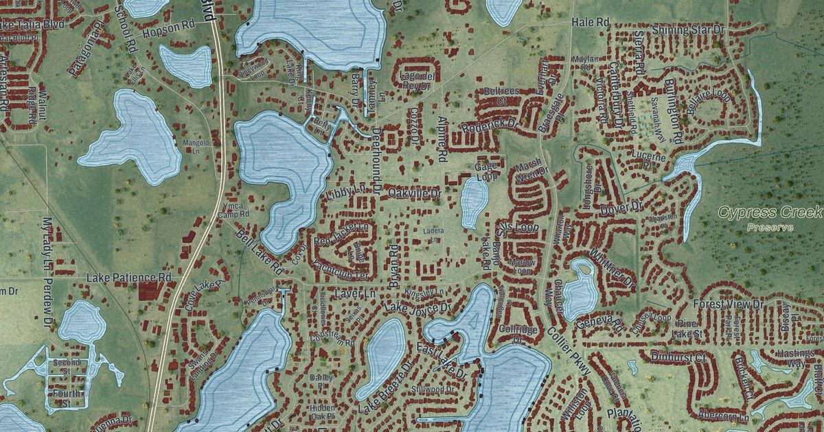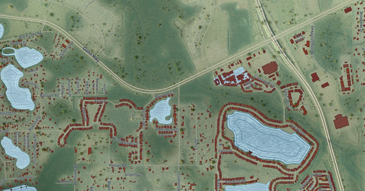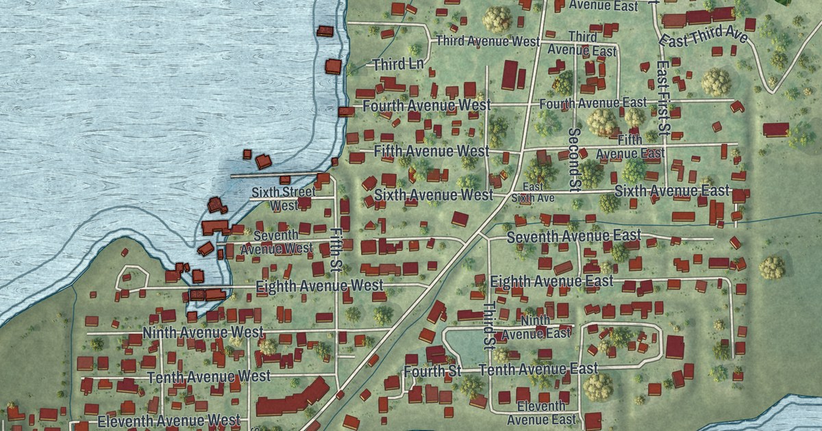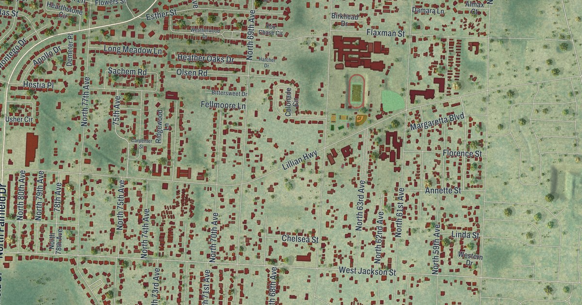
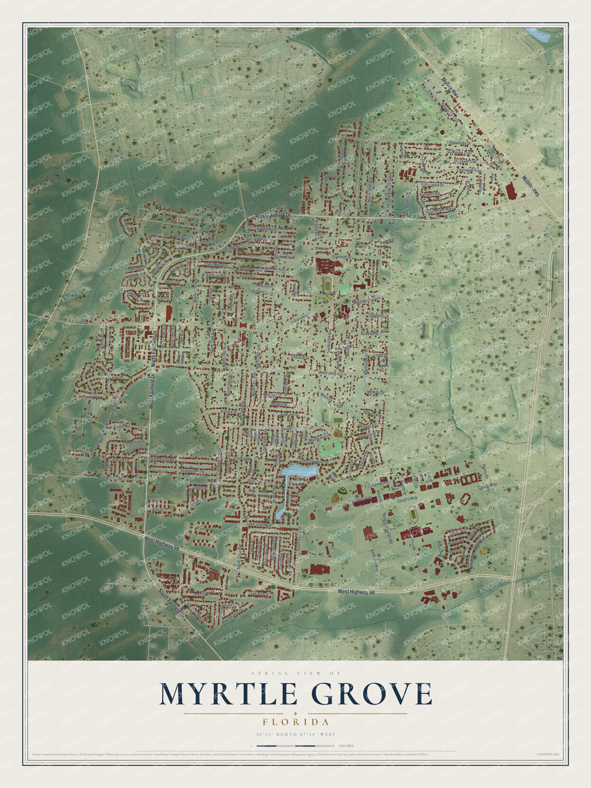
This beautifully detailed map of Myrtle Grove, Florida was created in 2026 using aerial imagery combined with modern topographical, census, street and landmark data. It's a modern aerial view of Myrtle Grove in Escambia County, Florida, that combines modern data with a vintage aesthetic. The roads feature printed names, and if you look closely you can find your exact house accurately shown in its correct location.
Explore an aerial view of Myrtle Grove, Florida
On this map you'll find Osceola Municipal Golf Course, Mobile Highway, West Fairfield Drive, West Highway 98, South Fairfield Drive, North Fairfield Drive, Imperial Drive, Prieto Drive, Corrydale Drive, South 61st Avenue, Pless Avenue, Clark Avenue, and more. Each red shape is a building, so zoom in on the preview and look for yours.
Myrtle Grove has a story worth telling. When Navy flight training began at Corry Field in 1922, the field was sandy and its buildings were primitive. Groundskeepers stood on duty to keep cows from wandering onto the landing area during flights. The field was named for Lt. Cmdr. William M. Corry, who was awarded the Medal of Honor after his death for trying to rescue a fellow crew member from a burning aircraft. That's from the Florida Department of State.
Myrtle Grove is a community in Escambia County. The Census Bureau counted 17,224 people here in 2020.
Take a closer look at the Myrtle Grove map
Names on this map
These names are printed on this map.
Places: Osceola Municipal Golf Course.
Streets and roads: Mobile Highway, West Fairfield Drive, West Highway 98, South Fairfield Drive, North Fairfield Drive, Imperial Drive, Prieto Drive, Corrydale Drive, South 61st Avenue, Pless Avenue, Clark Avenue, South 69th Avenue.
More street names, A to Z
58th Avenue, 61st Avenue, 62nd Avenue, 72nd Avenue, 75th Avenue, 78th Avenue, Admiral Smith Avenue, Almax Court, Amberway Drive, Amberwood Drive, Annette Street, Apache Trail, Apollo Drive, Arabian Circle, Arabian Drive, Atlas Street, Aurora Avenue, Bancroft Drive, Bay Springs Drive, Belle Chasse Way, Birkhead Drive, Bittersweet Drive, Brenda Avenue, Bruce Street, Bunker Hill, Bunker Hill Drive, Camborne Place, Camelford Drive, Campbellton Lane, Carpenter Street, Chanterelle Drive, Chelsea Street, Cherokee Trail, Chesterfield Road, Chief's Way, Chiefs Way, Christian Drive, Clydesdale Drive, Colonade Circle, Commanche Way, Continental Drive, Creel Drive, Crosby Avenue, Damara Lane, Demeter Place, Derwent Circle, Devonshire Circle, Dowdy Drive, El Dorado Drive, Esconditas Place, Esther Street, Fabiano Street, Fellmoore Lane, Fifth Street, First Street, Flaxman Street, Florence Street, Flowers Street, Fountain Abbey, Fourth Street, Fox Chase Circle, Galaxy Court, Gamwell Road, Harvey Street, Hatcher Drive, Hearthstone Circle, Heather Oaks Drive, Hestia Place, Huntington Drive, Ingalls Drive, Kause Road, Kendall Avenue, Kitty Hawk Circle, Kitty Hawk Drive, Krause Court, Lago Vista Court, Lake Aire Drive, Lake Charlene Drive, Lake Charlene Lane, Lake Joanne Drive, Lavon Drive, Li Fair Drive, Li Fair Place, Lillian Highway, Linda Street, Lindskog Street, Long Lake Drive, Long Meadow Lane, Lovett Place, Magda Avenue, Malvern Street, Margaretta Boulevard, McNair Lane, McNeil Street, Middlebrook Drive, Mier Henry Road, Mohawk Trail, Montego Drive, Myrtle Hill Circle, Navy Exchange Road, North 57th Avenue, North 58th Avenue, North 59th Avenue, North 60th Avenue, North 61st Avenue, North 62nd Avenue, North 63rd Avenue, North 65th Avenue, North 68th Avenue, North 69th Avenue, North 70th Avenue, North 71st Avenue, North 72nd Avenue, North 73rd Avenue, North 74th Avenue, North 75th Avenue, North 77th Avenue, North 78th Avenue, North 79th Avenue, North 80th Avenue, North Crow Road, Nottingham Way, Olsen Road, Osage Trail, Patricia Drive, Penton Street, Perimeter Road, Peterson Lane, Pettis Court, Pontiac Drive, Quigley Road, Ridgewood Lane, Roberts Avenue, Rossi Way, Sachem Road, Saint James Place, Sandra Drive, Sandy Creek Drive, Schofield Drive, Second Street, Selborne Place, Seminole Trail, Seventh Street, Silverado Court, Sioux Trail, Sixth Street, Smith Avenue, South 65th Avenue, South 66th Avenue, South 67th Avenue, South 68th Avenue, South 70th Avenue, South 71st Avenue, South 72nd Avenue, South 73rd Avenue, South Crow Road, Stafford Lane, Strickland Place, Tabaid Lane, Tabaid Place, Talladega Trail, Tempest Drive, Templeton Road, Third Street, Thompson Avenue, Tomahawk Trail, Tonawanda Drive, Usher Circle, Veterans Way, Villa Drive, Walker Street, Weatherwood Drive, Westbourne Drive, Western Drive, West Jackson Street, Westlake Drive, West La Rua Street, Whitworth Lane, Will Shiver Lane.
See it on a wall
The Myrtle Grove map as a framed print. Swipe for more.


Created by KNOWOL in 2026. The buildings are small red shapes, the roads carry their printed names, and shaded relief shows the shape of the land. The title panel reads "AERIAL VIEW OF MYRTLE GROVE, FLORIDA" with 30°25' NORTH 87°18' WEST.
It looks right in a kitchen, an office or a den, and it's a gift for anyone who grew up in Myrtle Grove or moved away. Open the preview and find your street. See sizes and frames for the Myrtle Grove map.