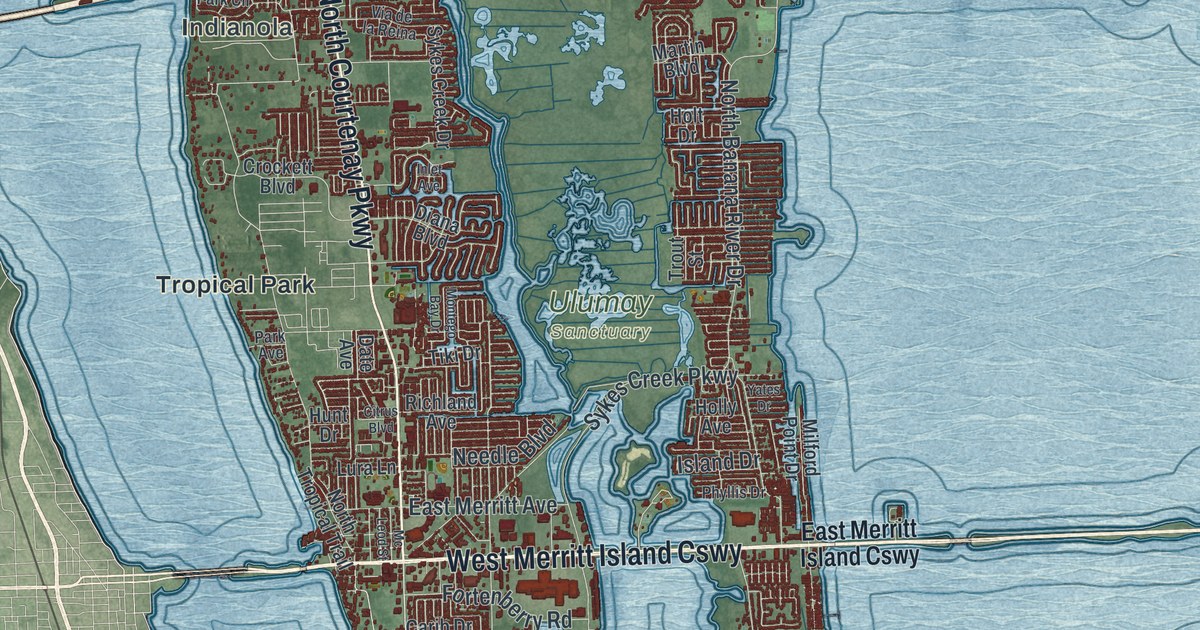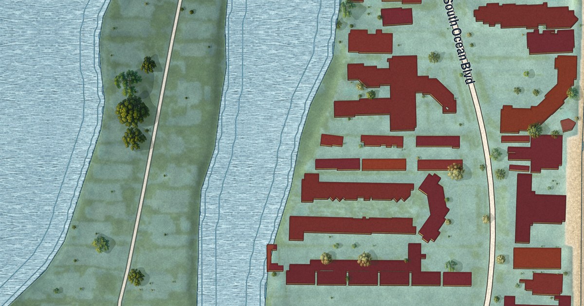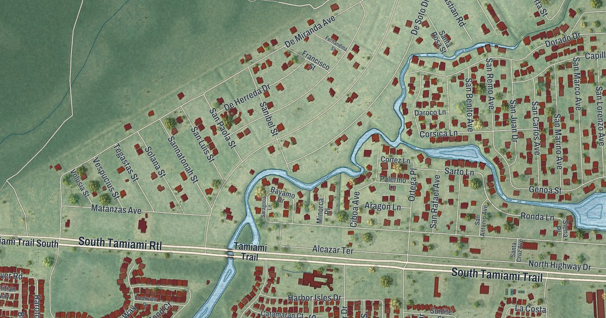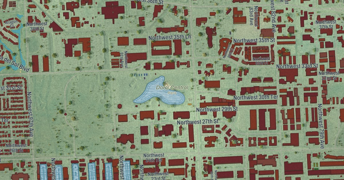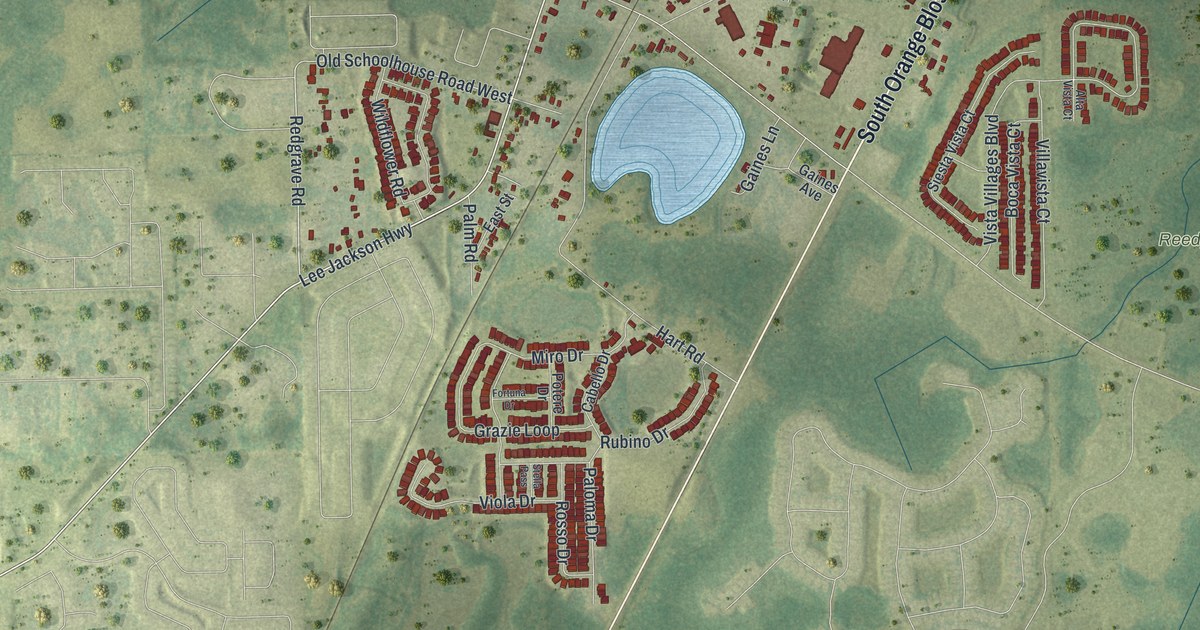
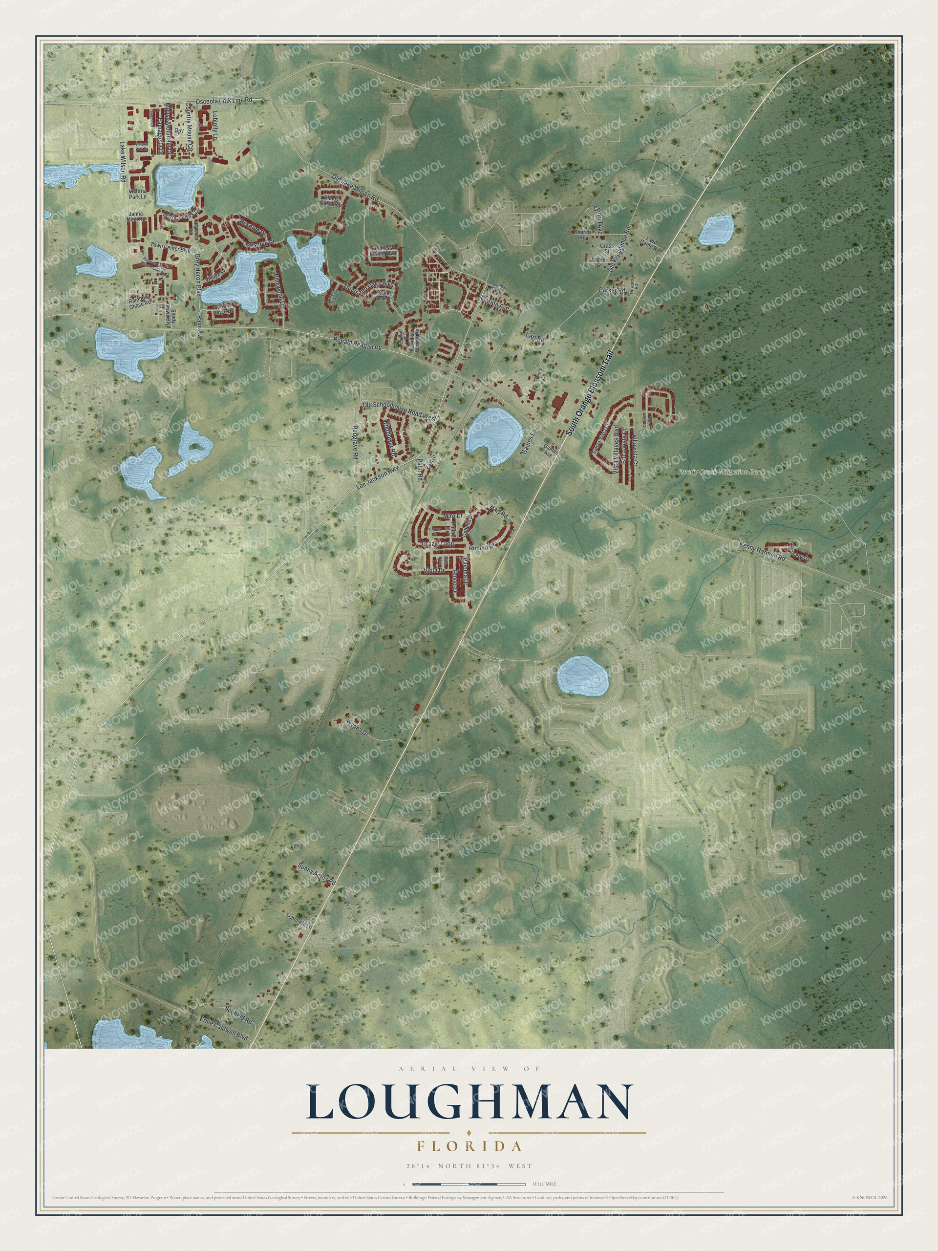
This beautifully detailed map of Loughman, Florida was created in 2026 using aerial imagery combined with modern topographical, census, street and landmark data. It's a modern aerial view of Loughman in Polk County, Florida, that combines modern data with a vintage aesthetic. The roads feature printed names, and if you look closely you can find your exact house accurately shown in its correct location.
Explore an aerial view of Loughman, Florida
On this map you'll find Reedy Creek Mitigation Bank, South Orange Blossom Trail, Old Lake Wilson Road, Redgrave Road, Lee Jackson Highway, Grey Heron Boulevard, Kenny Harmon Road, Old Schoolhouse Road West, Ronald Reagan Pk, Thousand Oaks Boulevard, Old Kissimmee Road, Lake Wilson Road, and more. Each red shape is a building, so zoom in on the preview and look for yours.
Here is a piece of Loughman history. In 1915 a lumber trade journal called the Everglade Cypress Company's sawmill at Loughman one of the most important of its kind in the South. The mill stood on the banks of a little lake, and big signs along the railroad read: This is Loughman, the home of the Everglade Cypress Company. After the closing whistle a cleaning squad scrubbed the mill, so Loughman was a spotless town by sunup. That's from the American Lumberman.
Loughman is a community in Polk County. The Census Bureau counted 5,417 people here in 2020.
Take a closer look at the Loughman map
Names on this map
These names are printed on this map.
Places: Reedy Creek Mitigation Bank.
Streets and roads: South Orange Blossom Trail, Old Lake Wilson Road, Redgrave Road, Lee Jackson Highway, Grey Heron Boulevard, Kenny Harmon Road, Old Schoolhouse Road West, Ronald Reagan Pk, Thousand Oaks Boulevard, Old Kissimmee Road, Lake Wilson Road, Vista Villages Boulevard.
More street names, A to Z
4 Acres Lane, Alabama Avenue, Alta Vista Court, Arbor Lakes Drive, Bay, Boca Vista Court, Breezy Oaks Court, Cabello Drive, Center Street, Central Avenue, Church Road, Country Mouse Circle, Cypress Pointe Boulevard, Earl Road, East Street, Ernie Caldwell Boulevard, Famagusta Drive, Florida Avenue, Fortuna Drive, Gaines Avenue, Gaines Lane, Grass Street, Grazie Loop, Hart Road, Highcrest Road, Howard Road, Jahna Mine Road, Labor Camp Road, Loblolly Lane, Miro Drive, Mouse Mountain Drive, Oak Leigh Court, Osceola Polk Line Road, Palm Avenue, Palm Road, Paloma Drive, Paradise Woods Place, Parker Road, Pinewood Drive, Potere Drive, Preserve Drive, Quiet Oak Court, Rainbow Chase Road, Rainbow Chase Travel Trailer Pk, Reserve Drive, Reserve Place, Rosso Drive, Rubino Drive, Saddle Ridge Drive, Schofield Lane, Scofield Road, Shady Lawn Boulevard, Shady Oak Loop, Siesta Vista Court, Stella Pass, Sunny Acres Road, Town Center Boulevard, Trikomo Drive, Victoria Park Drive, Victoria Park Lane, Village Place, Villavista Court, Viola Drive, Wildflower Road, Wynell Drive.
See it on a wall
The Loughman map as a framed print. Swipe for more.


Created by KNOWOL in 2026. The buildings are small red shapes, the roads carry their printed names, and shaded relief shows the shape of the land. The title panel reads "AERIAL VIEW OF LOUGHMAN, FLORIDA" with 28°14' NORTH 81°34' WEST.
It suits a den, a classroom or a front hall, and it makes a gift for anyone with Loughman roots. Open the preview and find the block you know. See sizes and frames for the Loughman map.