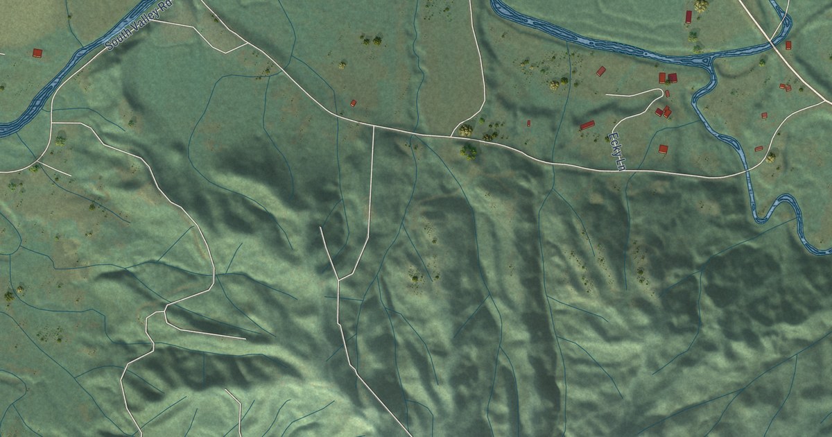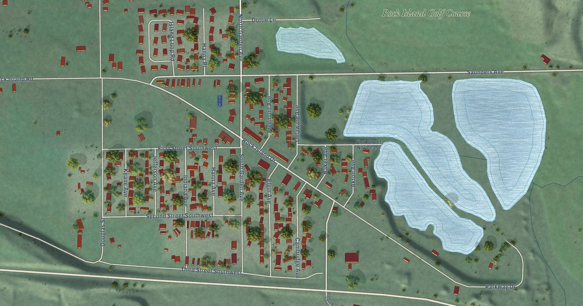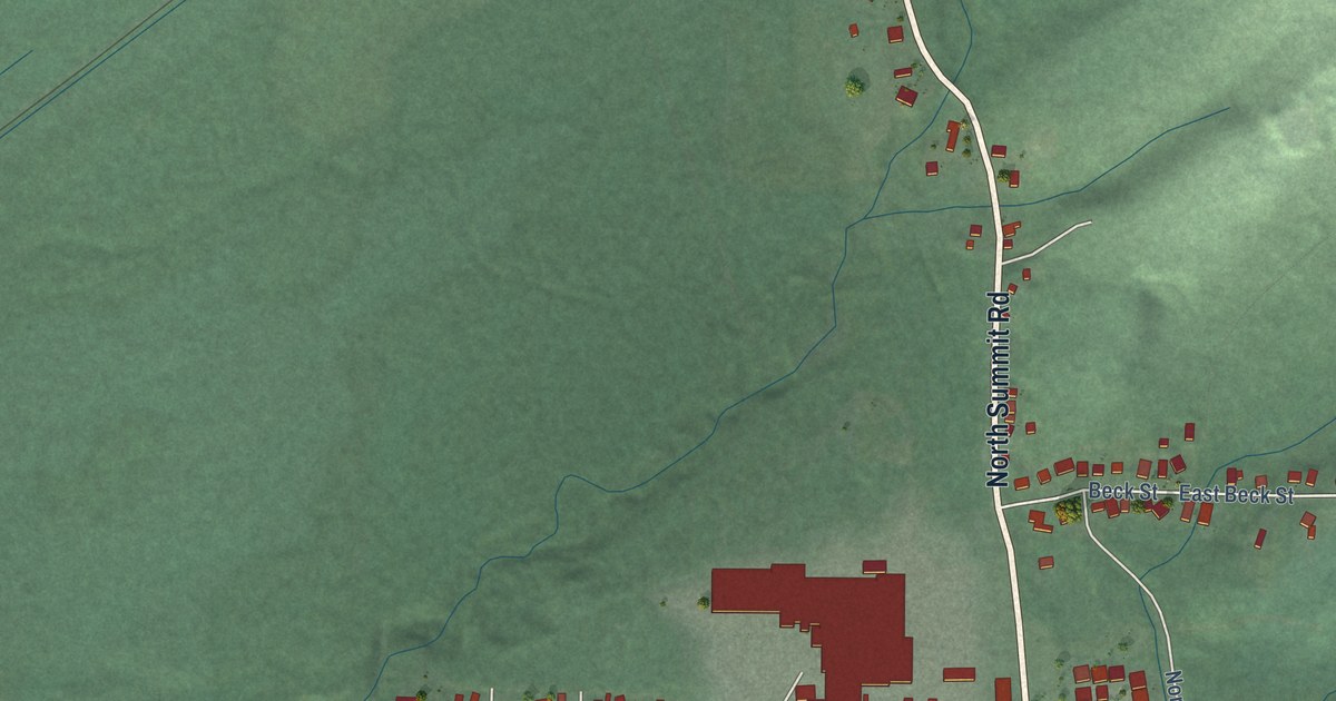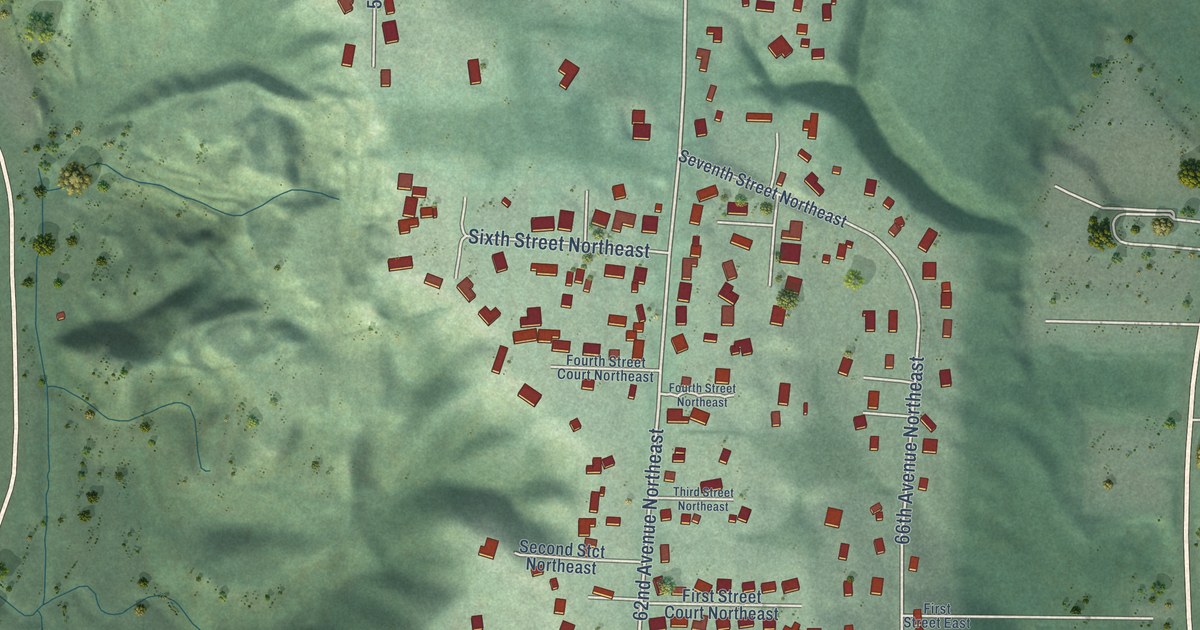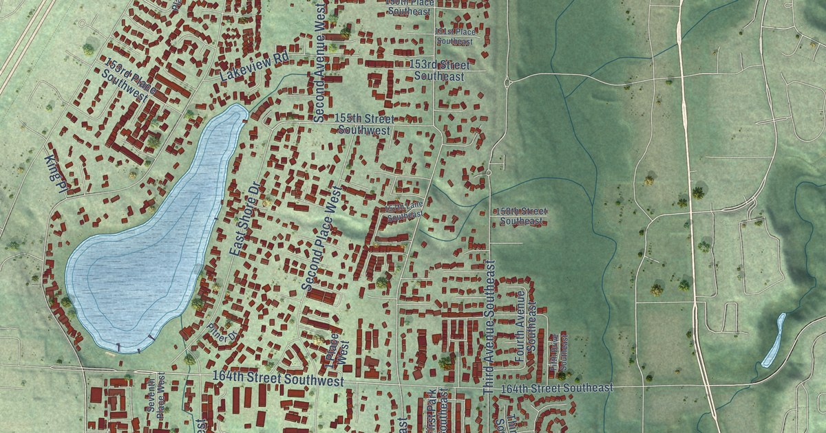
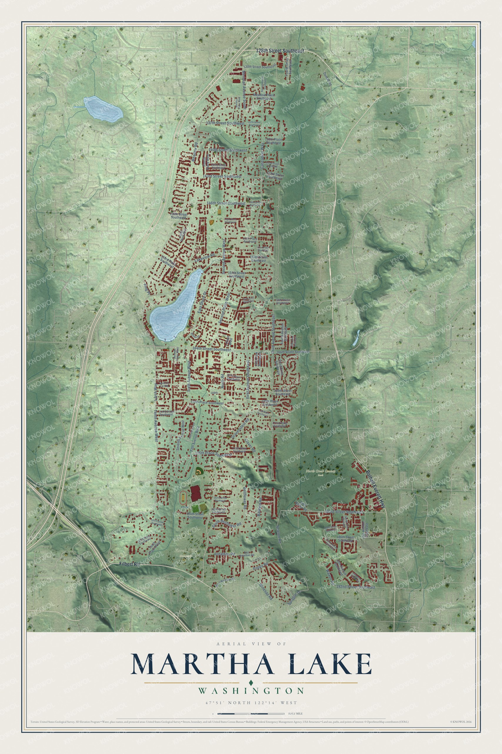
This beautifully detailed map of Martha Lake, Washington was created in 2026 using aerial imagery combined with modern topographical, census, street and landmark data. It's a modern aerial view of Martha Lake in Snohomish County, Washington, that combines modern data with a vintage aesthetic. The roads feature printed names, and if you look closely you can find your exact house accurately shown in its correct location.
Explore an aerial view of Martha Lake, Washington
On this map you'll find Floral Hills Cemetery, North Creek County Park, 128th Street Southeast, Bothell Everett Highway, Filbert Road, 183rd Street Southeast, North Road, 164th Street Southwest, 176th Place Southwest, Cascadian Way, Meridian Avenue South, Sprague Drive, and more. Each red shape is a building, so zoom in on the preview and look for yours.
Every town has a first chapter, and Martha Lake is no exception. From the late 1950s to the late 1990s, the Ed Hauter family ran a small airport at Martha Lake that at one point held about 80 aircraft. In 2000 the family sold most of the land to Snohomish County, passing up higher offers from developers, and it became Martha Lake Airport Park. Its skate park, the first in the county parks system, is there thanks to Colton Heaverly. He was only 12 when he began giving speeches to county planners and gathering signatures for it. That's from the Snohomish County Parks.
Martha Lake is a community in Snohomish County. The Census Bureau counted 21,660 people here in 2020.
Take a closer look at the Martha Lake map
Names on this map
These names are printed on this map.
Places: Floral Hills Cemetery and North Creek County Park.
Streets and roads: 128th Street Southeast, Bothell Everett Highway, Filbert Road, 183rd Street Southeast, North Road, 164th Street Southwest, 176th Place Southwest, Cascadian Way, Meridian Avenue South, Sprague Drive, Larch Way, Third Avenue Southeast.
More street names, A to Z
1 Place West, 13th Avenue Southeast, 14th Drive Southeast, 15th Avenue Southeast, 130th Street Southeast, 137th Street Southeast, 137th Street Southwest, 138th Place Southeast, 140th Street Southwest, 142nd Street Southeast, 142nd Street Southwest, 143rd Street Southeast, 143rd Street Southwest, 146th Street Southeast, 146th Street Southwest, 148th Place Southwest, 148th Street Southwest, 150th Place Southeast, 151st Place Southeast, 153rd Place Southwest, 153rd Street Southeast, 155th Street Southwest, 157th Lane Southeast, 158th Street Southeast, 164th Street Southeast, 167th Place Southwest, 169th, 169th Street Southeast, 170th Place Southeast, 170th Place Southwest, 171st Place Southeast, 172nd Place Southeast, 172nd Street Southwest, 175th Place Southeast, 182nd Street Southwest, 183rd Street Southwest, 184th Street Southwest, 185th Street Southeast, 185th Street Southwest, 186th Street Southeast, 187th Place Southwest, 192nd Street Southeast, Baldwin Road, Bellflower Road, Clover Road, Dumas Road, East Jonathan Road, East Shore Drive, Eighth Place West, Fifth Avenue West, Fifth Drive Southeast, Fifth Place West, First Avenue Southeast, First Park Southeast, Fourth Avenue Southeast, Fourth Drive Southeast, Fourth Place West, Gravenstein Road, John Bailey Road, Jonathan Road, King Place, Lakeview Road, Martha's Landing, Meadow Place Southeast, Meadow Road, Meridian Place West, Newton Road, Pitner Drive, Poppy Road, Second Avenue Southeast, Second Avenue West, Second Place West, Seventh Avenue West, Seventh Place West, Sixth Avenue West, South Bellflower Road, Tenth Avenue Southeast, Tenth Avenue West, Tenth Place West, Third Drive Southeast, Twelfth Drive Southeast, Waxen Road, West Winesap Road, Winesap Road.
See it on a wall
The Martha Lake map as a framed print. Swipe for more.


Created by KNOWOL in 2026. The buildings are small red shapes, the roads carry their printed names, and shaded relief shows the shape of the land. The title panel reads "AERIAL VIEW OF MARTHA LAKE, WASHINGTON" with 47°51' NORTH 122°14' WEST.
Hang it in the hallway, the office or the cabin, or give it to someone who left Martha Lake and still calls it home. Open the preview and look for a street you know. See sizes and frames for the Martha Lake map.