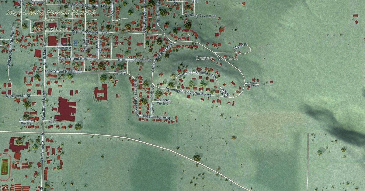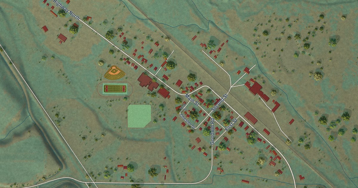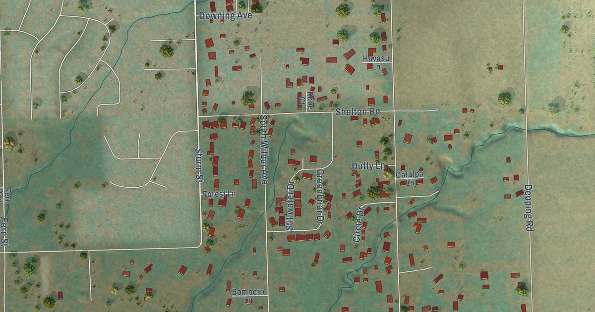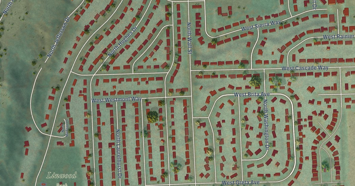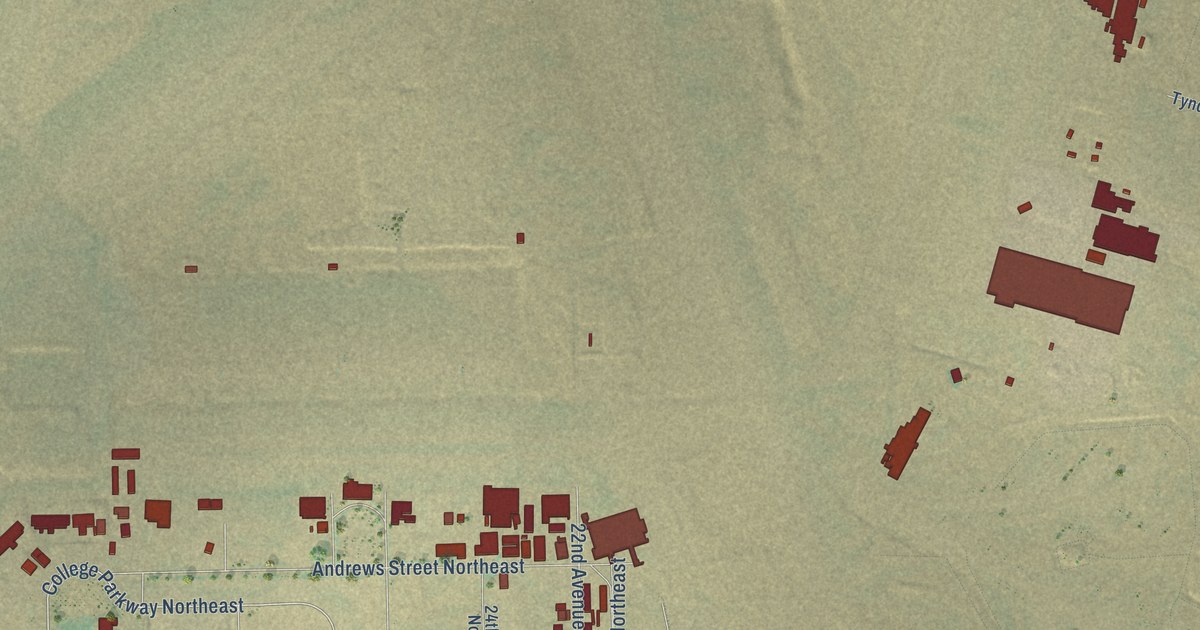
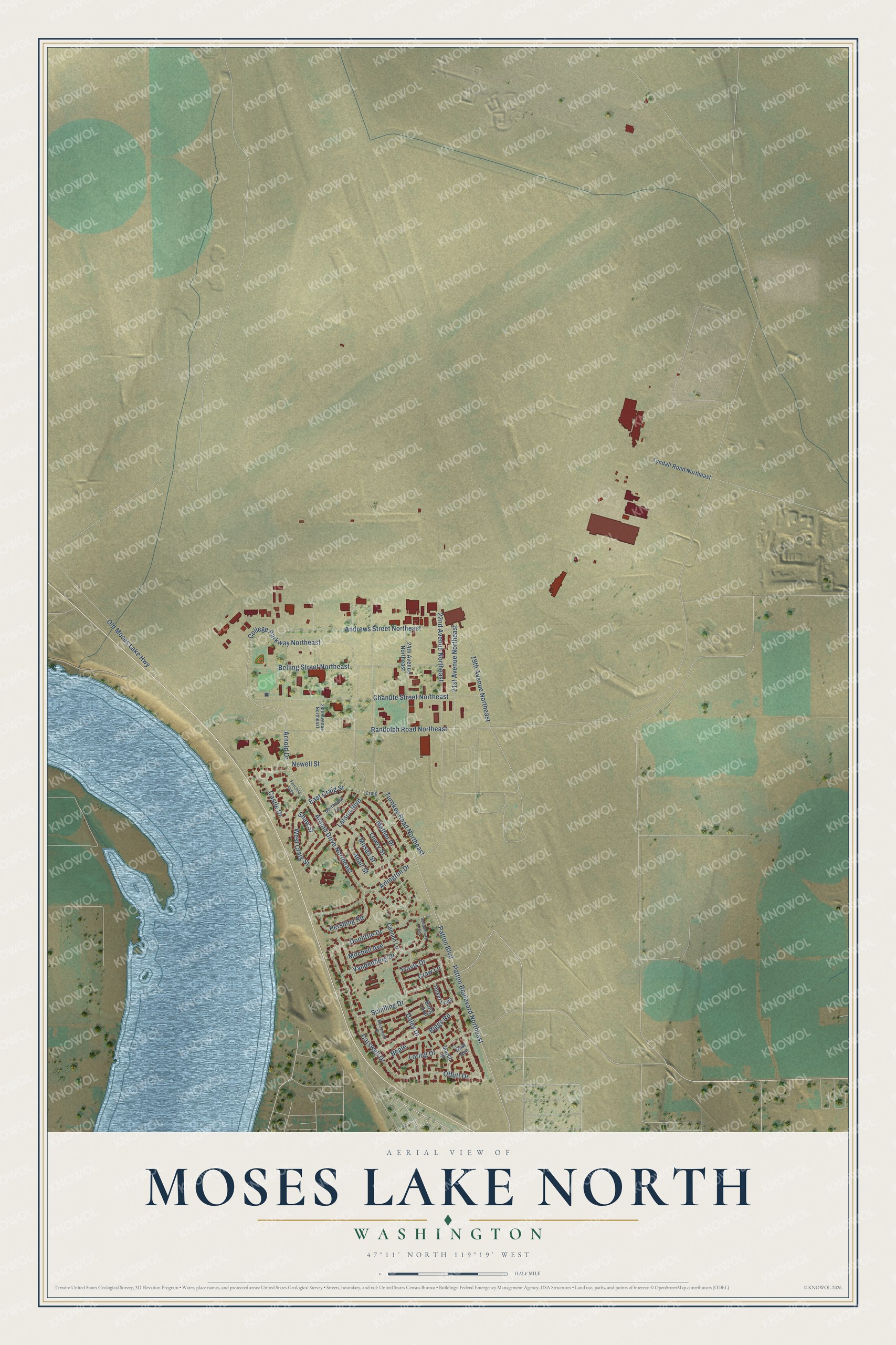
This beautifully detailed map of Moses Lake North, Washington was created in 2026 using aerial imagery combined with modern topographical, census, street and landmark data. It's a modern aerial view of Moses Lake North in Grant County, Washington, that combines modern data with a vintage aesthetic. The roads feature printed names, and if you look closely you can find your exact house accurately shown in its correct location.
Explore an aerial view of Moses Lake North, Washington
On this map you'll find Schilling Drive, Travis Drive, College Parkway Northeast, East Craig Street, Vandenberg Drive, Patton Boulevard, Offutt Drive, Randolph Road Northeast, Patton Boulevard Northeast, Bolling Street Northeast, Chanute Street Northeast, 22nd Avenue Northeast, and more. Each red shape is a building, so zoom in on the preview and look for yours.
Moses Lake North has a story worth telling. Grant County International Airport began on November 24, 1942, as Moses Lake Army Air Base, a World War II training center for P-38 pilots and later for B-17 Flying Fortress crews. In May 1950 it was renamed Larson Air Force Base for Major Donald A. Larson, a World War II ace from Yakima who was killed over Germany in 1944. In February 1949 a Boeing B-47 Stratojet began a record cross country speed run from the base to Andrews Air Force Base in Maryland, finishing in three hours and forty five minutes. That's from the McChord Air Museum Foundation.
Moses Lake North is a community in Grant County. The Census Bureau counted 4,050 people here in 2020.
Take a closer look at the Moses Lake North map
Names on this map
These names are printed on this map.
Streets and roads: Schilling Drive, Travis Drive, College Parkway Northeast, East Craig Street, Vandenberg Drive, Patton Boulevard, Offutt Drive, Randolph Road Northeast, Patton Boulevard Northeast, Bolling Street Northeast, Chanute Street Northeast, 22nd Avenue Northeast.
More street names, A to Z
19th Avenue Northeast, 21st Avenue Northeast, 24th Avenue Northeast, 28th Avenue Northeast, Adair Street, Andrews Street Northeast, Arlington Drive, Arnold Drive, Arnold Drive Northeast, Beale, Biggs Road, Bong Loop, Cannon Lane, Carswell Drive, Castle Drive, Craig, Craw Lane, Daley Drive, Doolittle Drive, Dow Avenue, Fairchild Loop, Larson Boulevard, Loring Drive, Lowry Street, March Street, Mather Drive, McConnell Drive, Mitchell Avenue, Moses Street, Newell Street, Northwest Lane, Old Moses Lake Highway, Pershing Road, Shaw Street, Tinker Loop, Turnkey Road Northeast, Tyndall Road Northeast, Vandenburg Loop, West Craig Street.
See it on a wall
The Moses Lake North map as a framed print. Swipe for more.


Created by KNOWOL in 2026. The buildings are small red shapes, the roads carry their printed names, and shaded relief shows the shape of the land. The title panel reads "AERIAL VIEW OF MOSES LAKE NORTH, WASHINGTON" with 47°11' NORTH 119°19' WEST.
It looks right in a kitchen, an office or a den, and it's a gift for anyone who grew up in Moses Lake North or moved away. Open the preview and find your street. See sizes and frames for the Moses Lake North map.