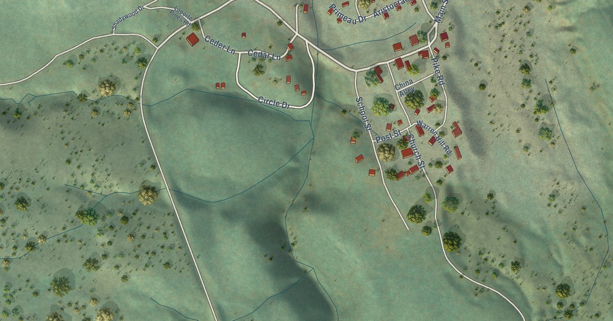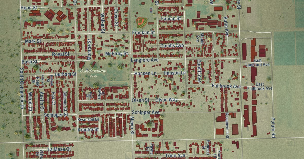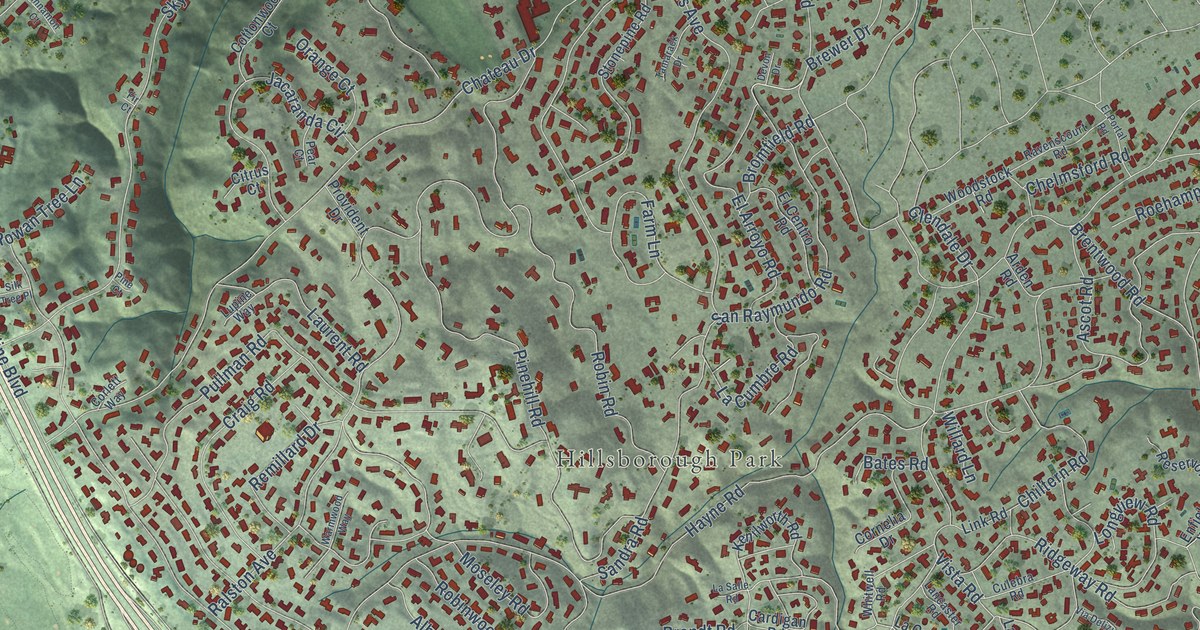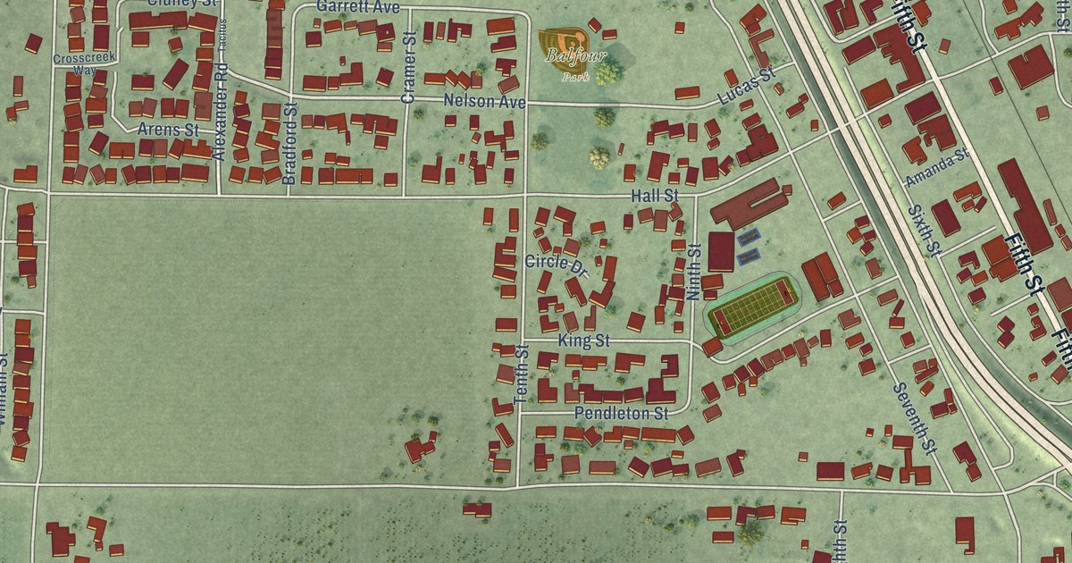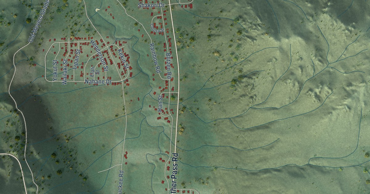
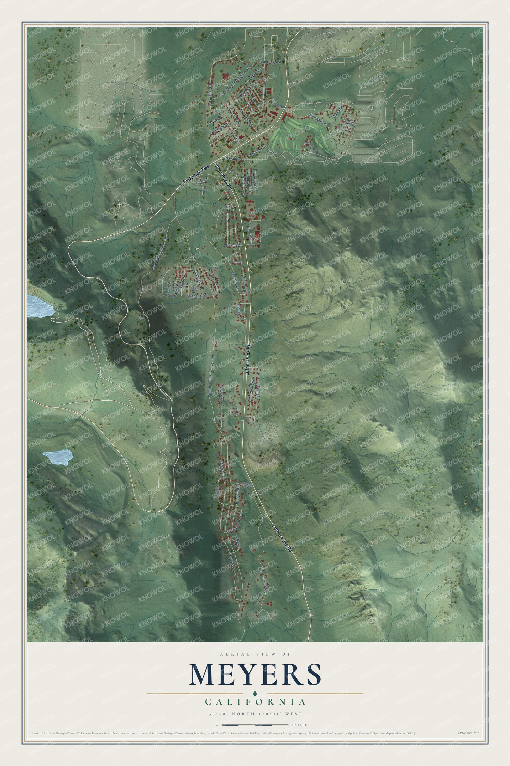
This beautifully detailed map of Meyers, California was created in 2026 using aerial imagery combined with modern topographical, census, street and landmark data. It's a modern aerial view of Meyers in El Dorado County, California, that combines modern data with a vintage aesthetic. The roads feature printed names, and if you look closely you can find your exact house accurately shown in its correct location.
Explore an aerial view of Meyers, California
On this map you'll find Luther Pass Road, El Dorado Fwy, Panorama Drive, Nahane Drive, Cornelian Drive, South Upper Truckee Road, Apache Avenue, Blitzen Road, Grass Lake Road, Rainbow Road, Arrowhead Avenue, Old Meyers Grade Road, and more. Each red shape is a building, so zoom in on the preview and look for yours.
Meyers is a community in El Dorado County. The Census Bureau counted 2,163 people here in 2020. Meyers sits about 7 miles south of South Lake Tahoe, 10 miles north of Kirkwood and 12 miles west of Mesa Vista. The map prints the town name in its title panel, with the coordinates below it.
Take a closer look at the Meyers map
Names on this map
These names are printed on this map.
Streets and roads: Luther Pass Road, El Dorado Fwy, Panorama Drive, Nahane Drive, Cornelian Drive, South Upper Truckee Road, Apache Avenue, Blitzen Road, Grass Lake Road, Rainbow Road, Arrowhead Avenue, Old Meyers Grade Road.
More street names, A to Z
Bakersfield Street, Beaver Brae, Bella Coola Drive, Cebo Circle, Cheyenne Drive, Cirugu Street, Colusa Street, Crow Street, East River Park Drive, East San Bernardino Avenue, Egret Way, Elati Street, Elf Lane, Haidas Circle, Han Street, Henderson Street, Hopi Avenue, Kaska Street, Kekin Street, Lindenwood Drive, Lipan Street, Memory Lane, Minal Street, Modoc Way, Mohawk Street, Mohican Drive, Morton Drive, Narragansett Circle, Navahoe Drive, Pinewood Drive, Piute Street, Portal Drive, Saint Nick Way, San Diego Street, Santa Claus Drive, Santa Fe Road, Seminole Drive, Shakori Drive, Sioux Street, Tomahawk Lane, Wailaki Street, Wasabe Drive, Washoe Street, West River Park Road, Yokut Street.
See it on a wall
The Meyers map as a framed print. Swipe for more.


Created by KNOWOL in 2026. The buildings are small red shapes, the roads carry their printed names, and shaded relief shows the shape of the land. The title panel reads "AERIAL VIEW OF MEYERS, CALIFORNIA" with 38°50' NORTH 120°01' WEST.
It looks right in a kitchen, an office or a den, and it's a gift for anyone who grew up in Meyers or moved away. Open the preview and find your street. See sizes and frames for the Meyers map.