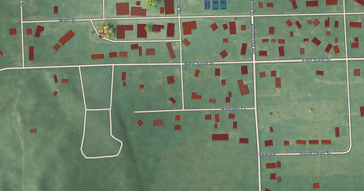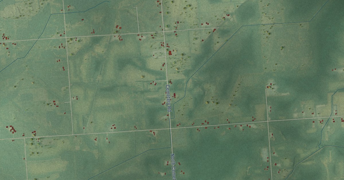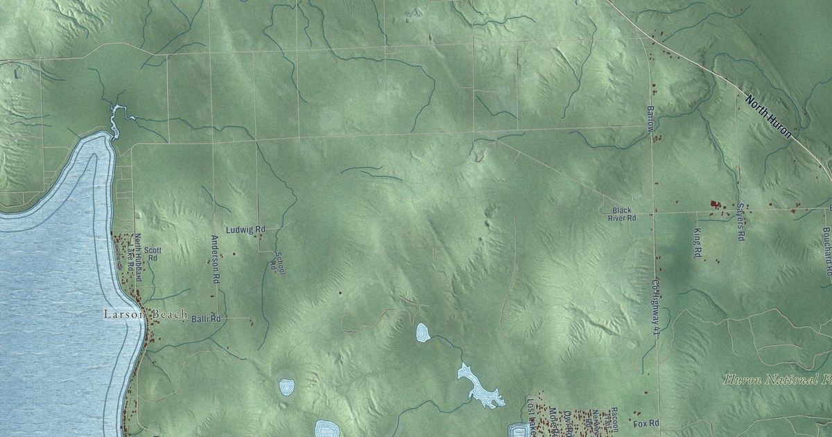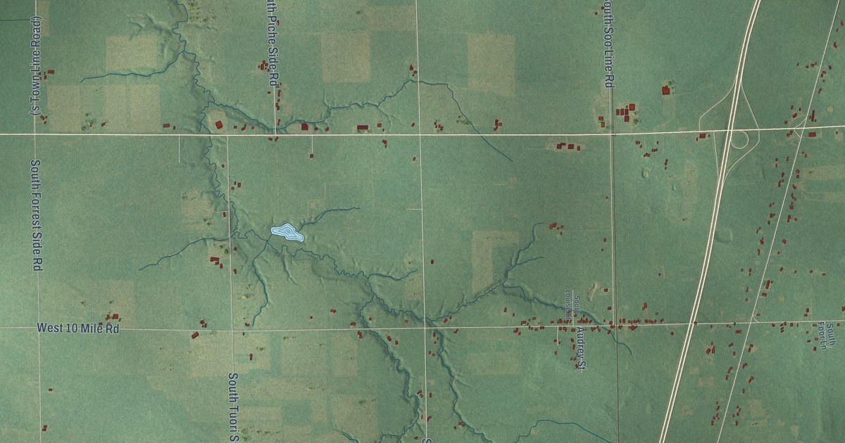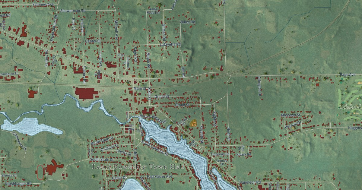
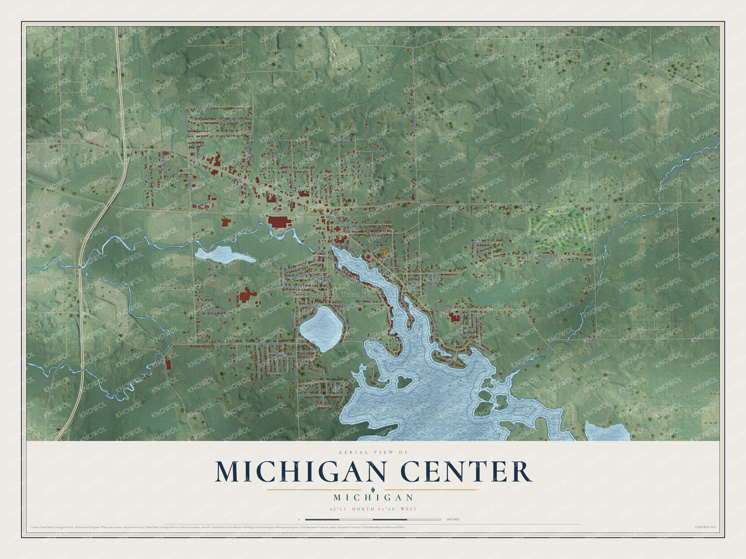
This beautifully detailed map of Michigan Center, Michigan was created in 2026 using aerial imagery combined with modern topographical, census, street and landmark data. It's a modern aerial view of Michigan Center in Jackson County, Michigan, that combines modern data with a vintage aesthetic. The roads feature printed names, and if you look closely you can find your exact house accurately shown in its correct location.
Explore an aerial view of Michigan Center, Michigan
On this map you'll find Leoni Township Town Hall, Lakeland Hills Golf Course, Flansburg Road, Seventh Street, Catsyl Road, North Falahee Road, Page Avenue, Napoleon Road, Huggins Road, Falahee Road, Ballard Road, South Lakeside Drive, and more. Each red shape is a building, so zoom in on the preview and look for yours.
Every town has a first chapter, and Michigan Center is no exception. In its early days a group of men believed Michigan Center would become the leading town in Jackson County. They formed a company, bought lumber and went there to build up the town, and Ethan H. Rice served three years as its general superintendent. In 1838 Amos Root and Henry Orendorff opened a store in the promising village, but Jackson grew into the trading city of the region, and they moved their business there. That's from the 1881 History of Jackson County.
Michigan Center is a community in Jackson County. The Census Bureau counted 4,609 people here in 2020.
Take a closer look at the Michigan Center map
Names on this map
These names are printed on this map.
Places: Leoni Township Town Hall and Lakeland Hills Golf Course.
Streets and roads: Flansburg Road, Seventh Street, Catsyl Road, North Falahee Road, Page Avenue, Napoleon Road, Huggins Road, Falahee Road, Ballard Road, South Lakeside Drive, Noon Road, Ninth Street.
More street names, A to Z
Adams Drive, Allison Drive, Ambs Road, Ambs Road Extension, Apple Lane, Arlington Drive, Bennett Drive, Bernadette Drive, Best Road, Broad Street, Catalpa Drive, Cecilia Drive, Cedar Drive, Center Street, Centralia Avenue, Chaz Landing, Cherry Street, Commerce Drive, Commerce Street, Cooks Landing, Cooper Court, Cross Street, Duryeas Point, East Grove Avenue, East South Street, Edgewater Drive, Eighth Street, Factory Road, Fairfax Avenue, Fairview Avenue, Feldman Court, Felters Road, Fifth Street, Ford Avenue, Franklin Road, Gale Drive, Gale Street, Gilman Road, Grand Street, Hall Avenue, Harshbarger Road, Hill Road, Holmes Street, Hoyer Road, Ian Way, Jane Drive, Jefferson Drive, Kloack Road, Lafayette Road, Lamoine Street, Leah Street, Lee Road, Long Avenue, Lourim Street, Love Drive, Luetta Avenue, Main Street, Maple Road, Martha Drive, Mc Arthur Road, Memory Lane, Merle Drive, Miecewo Street, North Lakeside Drive, North State Street, Oakpointe Drive, Orchard Street, Peterson Lane, Pett Drive, Poznan Drive, Rice Street, Ronald Road, Round Lake Drive, Sager Road, Showerman Road, Sixth Street, South State Street, South Sutton Road, Stella Drive, Stillwell Avenue, Sunrise Court, Tipperary Road, Valley Road, Venice Drive, Wanda Drive, Warsaw Street, Washington Drive, West Court, West Grove Avenue, West State Street, Zygmunt Drive.
See it on a wall
The Michigan Center map as a framed print. Swipe for more.


Created by KNOWOL in 2026. The buildings are small red shapes, the roads carry their printed names, and shaded relief shows the shape of the land. The title panel reads "AERIAL VIEW OF MICHIGAN CENTER, MICHIGAN" with 42°13' NORTH 84°20' WEST.
Hang it in the hallway, the office or the cabin, or give it to someone who left Michigan Center and still calls it home. Open the preview and look for a street you know. See sizes and frames for the Michigan Center map.