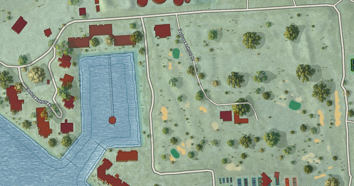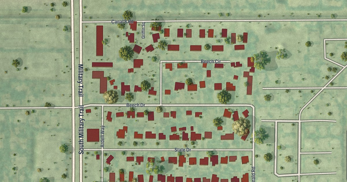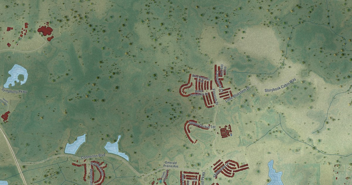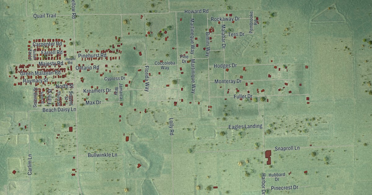
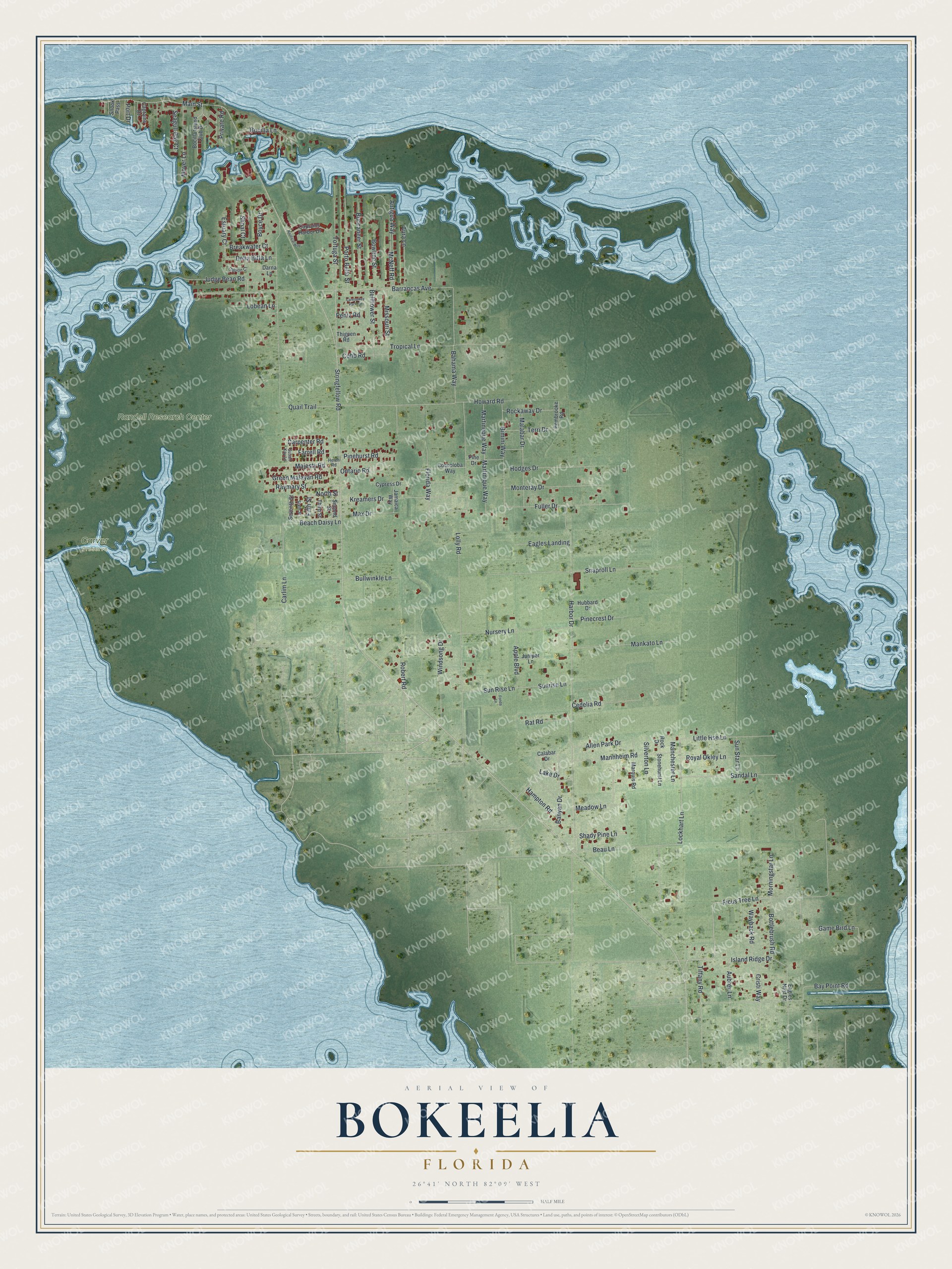
This beautifully detailed map of Bokeelia, Florida was created in 2026 using aerial imagery combined with modern topographical, census, street and landmark data. It's a modern aerial view of Bokeelia in Lee County, Florida, that combines modern data with a vintage aesthetic. The roads feature printed names, and if you look closely you can find your exact house accurately shown in its correct location.
Explore an aerial view of Bokeelia, Florida
On this map you'll find Carver Preserve, Randell Research Center, Ficus Tree Lane, Beau Lane, Lockhart Lane, Carpenter Road, Main Street, Island Ridge Drive, Banyan Drive, North Street, Stringfellow Road, Harbor Drive, and more. Each red shape is a building, so zoom in on the preview and look for yours.
Bokeelia is a community in Lee County. The Census Bureau counted 1,855 people here in 2020. Bokeelia sits about 4 miles north of Pine Island Center, 5 miles northwest of Matlacha and 6 miles northwest of Matlacha Isles-Matlacha Shores. The map prints the town name in its title panel, with the coordinates below it.
Take a closer look at the Bokeelia map
Names on this map
These names are printed on this map.
Places: Carver Preserve and Randell Research Center.
Streets and roads: Ficus Tree Lane, Beau Lane, Lockhart Lane, Carpenter Road, Main Street, Island Ridge Drive, Banyan Drive, North Street, Stringfellow Road, Harbor Drive, Barrancas Avenue, Quail Trail.
More street names, A to Z
Allen Park Drive, Antigua Way, Apple Boulevard, Aubrey Lane, Aura Lane, Bahama Way, Bay Point Road, Beach Daisy Lane, Bellflower Street, Bimini Way, Bocilla Island Club Drive, Bocilla Lane, Bottlebrush Road, Bowline Street, Boyce Drive, Breakwater Court, Buccaneer Street, Bullwinkle Lane, Calabar Drive, Captains Drive, Captains Harbor Drive, Caresaway Park Circle, Carlim Lane, Cedelia Road, Cobb Road, Coccoloba Way, Cristi Way, Cypress Drive, Darna Lane, Della Bitta Lane, Eagles Landing, Eagles Nest Drive, Estuary Court, Farrell Road, Fifth Street, Florida Way, Fonda Lane, Fuller Drive, Gabion Court, Game Bird Lane, Green Malayan Road, Hampton Road, Helen Road, Hodges Drive, Howard Road, Hubbard Drive, Jamaica Way, Judge Bean Road, Juniper Lane, Kreamers Drive, Lake Drive, Little Hse Lane, Lobean Lane, Lolly Road, Majesty Road, Malabar Drive, Manchester Lane, Mankato Lane, Mannheim Road, Marquis Road, Martineque Way, Martinique Way, Max Drive, McNeff Road, Meadow Lane, Missouri Street, Monteray Drive, Morningstar Lane, Moyer Lane, Nautical Way, Nursery Lane, Ontario Road, Pembrooke Road, Pentz Road, Pinecrest Drive, Pine Drive, Pinehurst Road, Port Drive, Porto Bello Street, Privare Road, Rat Road, Raymary Street, Robert Road, Rockaway Drive, Rock Drive, Royal Okley Lane, Sandal Lane, Seagull Bay Court, Second Street, Seventh Street, Shady Pine Lane, Shoal Court, Silverton Lane, Sixth Street, Snaproll Lane, Snook Pass, Stonehurst Lane, Sun Rise Lane, Sunrise Lane, Sun Star Lane, Susan Kay Lane, Terri Drive, Thigpen Road, Third Street, Tiffany Road, Tortuga Street, Tropical Lane, Wayback Road, Windsong Drive.
See it on a wall
The Bokeelia map as a framed print. Swipe for more.


Created by KNOWOL in 2026. The buildings are small red shapes, the roads carry their printed names, and shaded relief shows the shape of the land. The title panel reads "AERIAL VIEW OF BOKEELIA, FLORIDA" with 26°41' NORTH 82°09' WEST.
It suits a den, a classroom or a front hall, and it makes a gift for anyone with Bokeelia roots. Open the preview and find the block you know. See sizes and frames for the Bokeelia map.