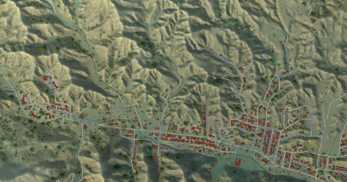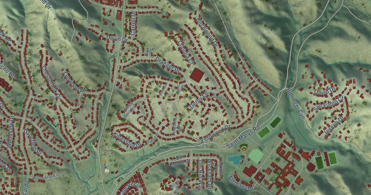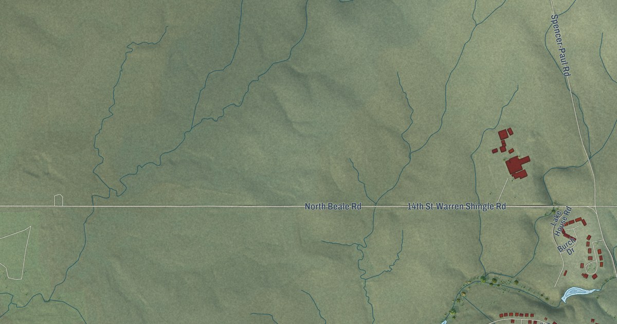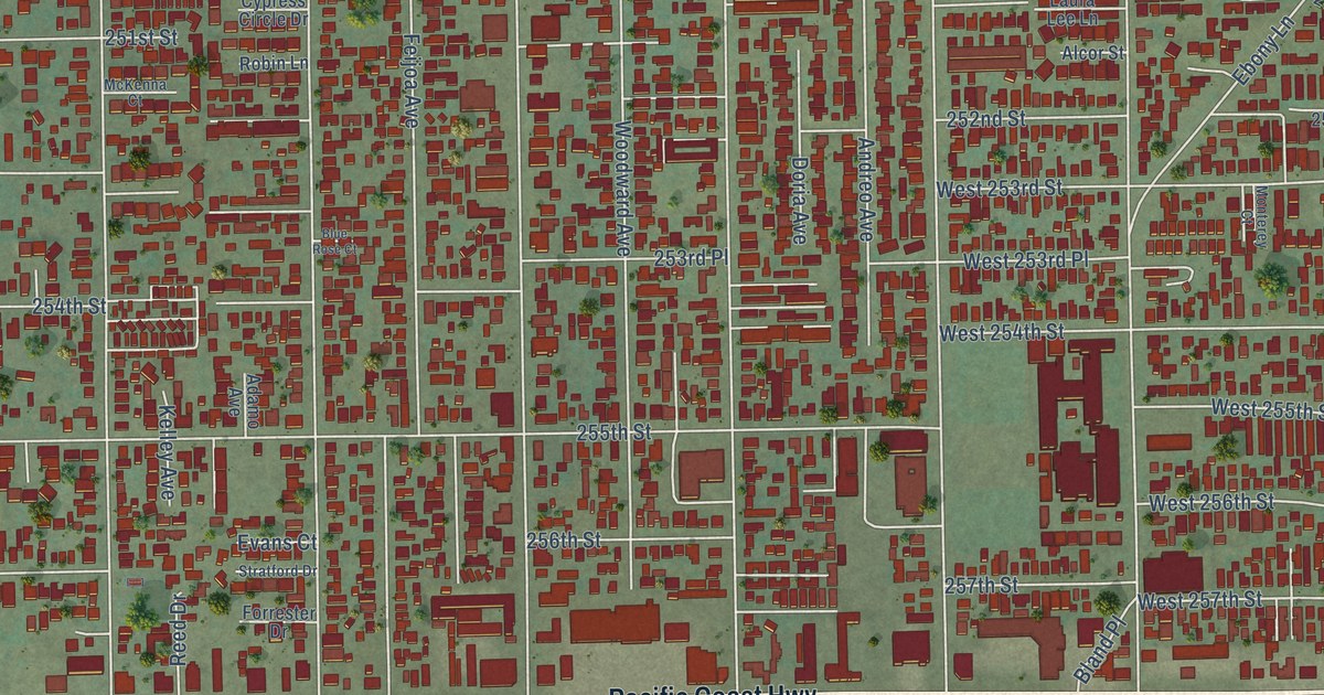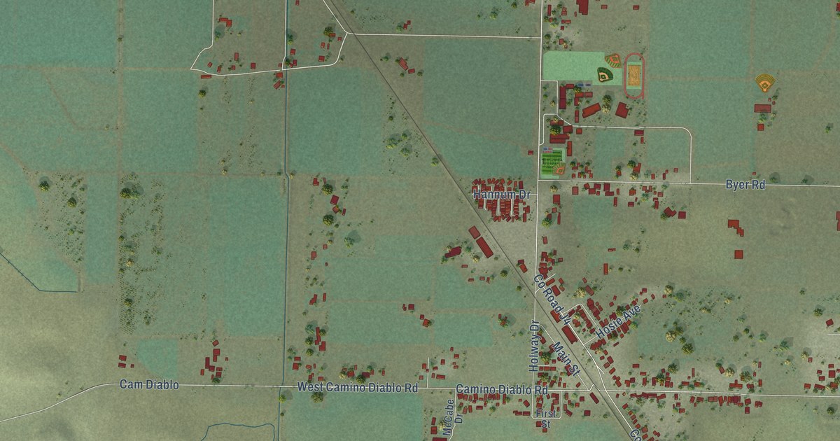
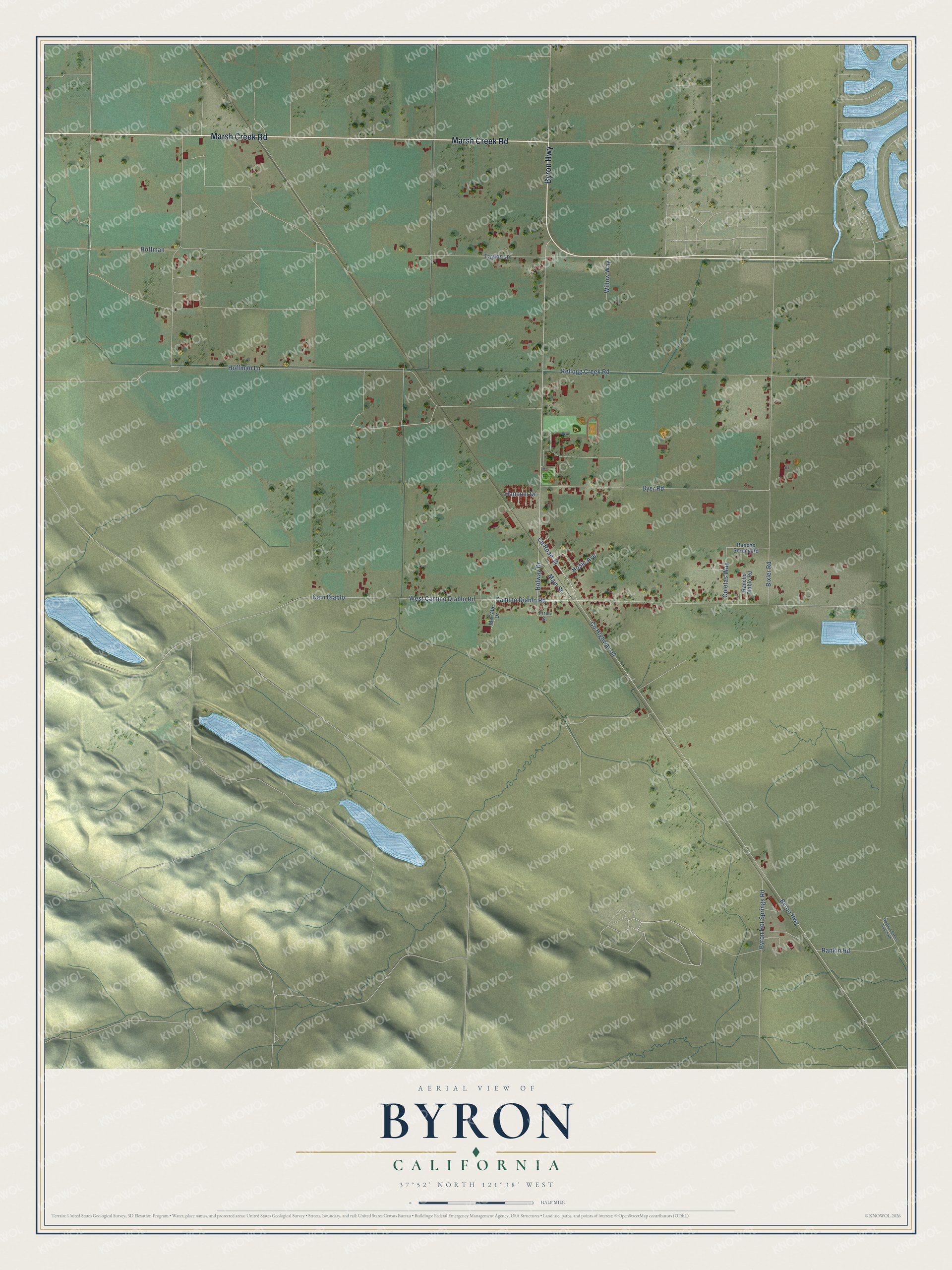
This beautifully detailed map of Byron, California was created in 2026 using aerial imagery combined with modern topographical, census, street and landmark data. It's a modern aerial view of Byron in Contra Costa County, California, that combines modern data with a vintage aesthetic. The roads feature printed names, and if you look closely you can find your exact house accurately shown in its correct location.
Explore an aerial view of Byron, California
On this map you'll find Marsh Creek Road, Byron Highway, Hoffman Lane, Bixler Road, Co Highway J4, Co Road J4, Camino Diablo Road, Kellogg Creek Road, West Camino Diablo Road, Byer Road, Cam Diablo, Taylor Lane, and more. Each red shape is a building, so zoom in on the preview and look for yours.
Every town has a first chapter, and Byron is no exception. Byron began in the fall of 1878, when the Southern Pacific started running trains through eastern Contra Costa County. To get the station in the right spot, local people bought the land and donated it to the railroad, and the first house in town served as F. Wilkening's hotel. One early family had a famous tie: Mrs. William R. Wilder, a daughter of Captain George Donner of the Donner party, had lived in the Byron area for half a century by 1916. That's from the 1917 History of Contra Costa County.
Byron is a community in Contra Costa County. The Census Bureau counted 1,140 people here in 2020.
Take a closer look at the Byron map
Names on this map
These names are printed on this map.
Streets and roads: Marsh Creek Road, Byron Highway, Hoffman Lane, Bixler Road, County Highway J4, County Road J4, Camino Diablo Road, Kellogg Creek Road, West Camino Diablo Road, Byer Road, Cam Diablo, Taylor Lane.
More street names, A to Z
Byron Hot Springs Road, Coletas Way, First Street, Hannum Drive, Hoffman, Holway Drive, Hosie Avenue, Main Street, McCabe Drive, Rancho Diablo Road, Rancho Sereno Road, Rankin Road, Western Farms Ranch Road, Willow Way.
See it on a wall
The Byron map as a framed print. Swipe for more.


Created by KNOWOL in 2026. The buildings are small red shapes, the roads carry their printed names, and shaded relief shows the shape of the land. The title panel reads "AERIAL VIEW OF BYRON, CALIFORNIA" with 37°52' NORTH 121°38' WEST.
Hang it in the hallway, the office or the cabin, or give it to someone who left Byron and still calls it home. Open the preview and look for a street you know. See sizes and frames for the Byron map.