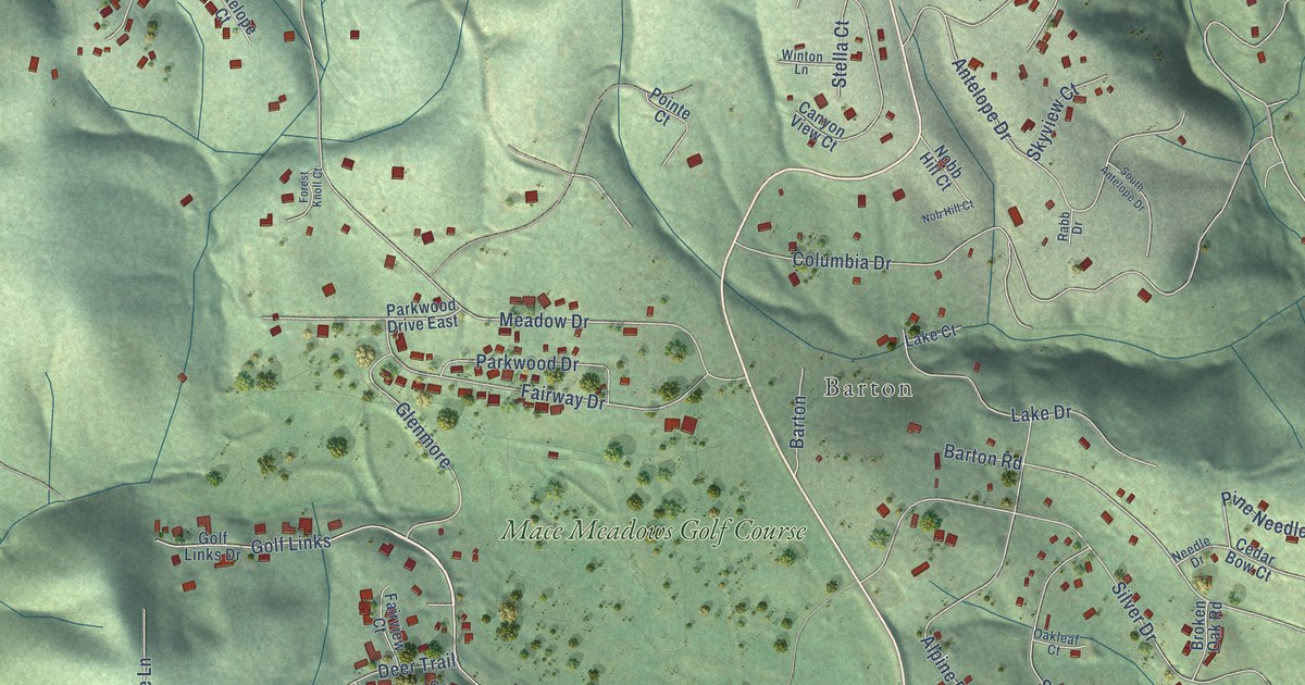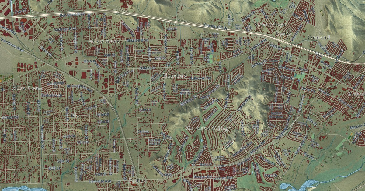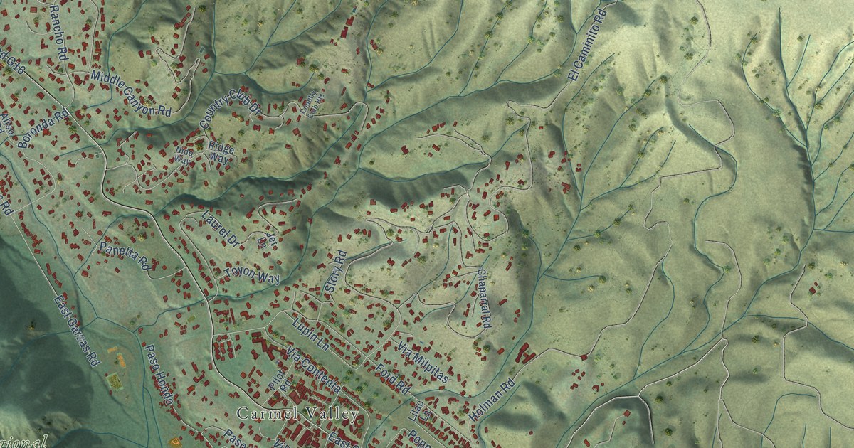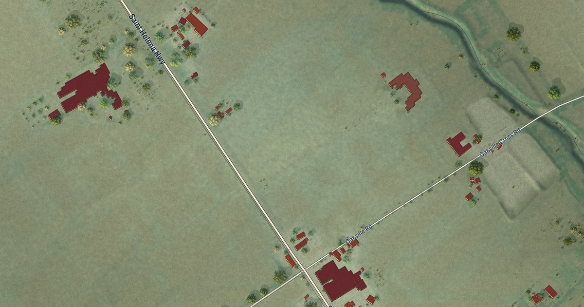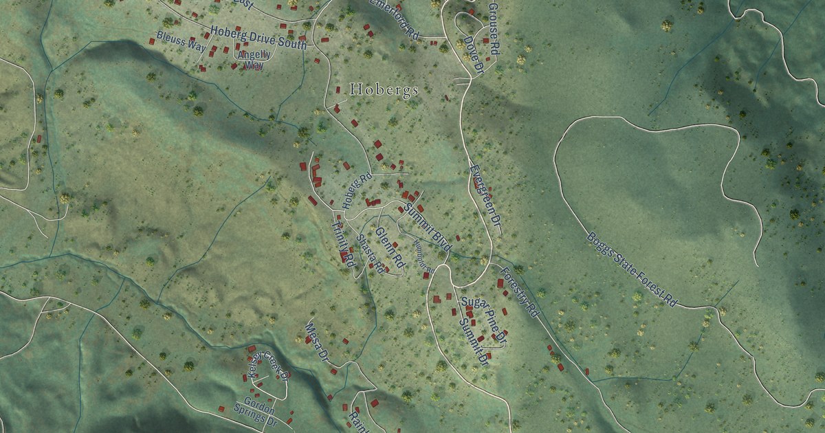
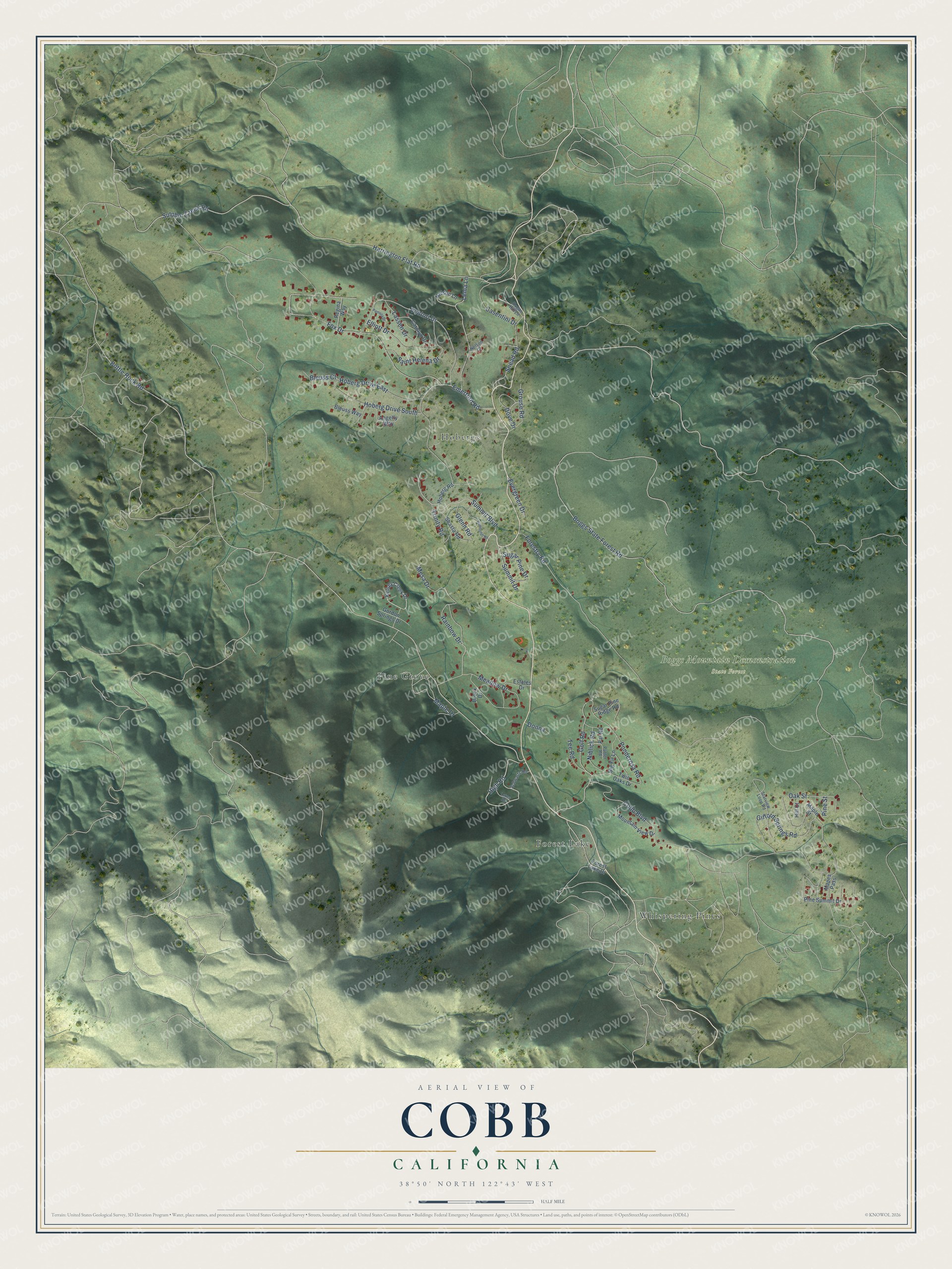
This beautifully detailed map of Cobb, California was created in 2026 using aerial imagery combined with modern topographical, census, street and landmark data. It's a modern aerial view of Cobb in Lake County, California, that combines modern data with a vintage aesthetic. The roads feature printed names, and if you look closely you can find your exact house accurately shown in its correct location.
Explore an aerial view of Cobb, California
On this map you'll find Boggs Mountain Demonstration State Forest, Whispering Pines, Pine Grove, Hobergs, Forest Lake, Harrington Flat Road, High Road, Rainbow Drive, Ponderosa Road, Maple Drive, Bottle Rock Road, Boggs State Forest Road, and more. Each red shape is a building, so zoom in on the preview and look for yours.
Cobb has a story worth telling. Cobb Valley took its name from John Cobb, its first settler, who took up a place there in October 1853 and brought his family that November to a wild country of elk, deer, bears and panthers. In 1859 he built a small water-powered saw and grist mill in the valley. Cobb Valley sits about 2,500 feet up on the north side of Cobb Mountain, and by 1881 it had Glenbrook, a fashionable summer resort and hotel. That's from the 1881 History of Napa and Lake Counties.
Cobb is a community in Lake County. The Census Bureau counted 1,295 people here in 2020.
Take a closer look at the Cobb map
Names on this map
These names are printed on this map.
Places: Boggs Mountain Demonstration State Forest, Whispering Pines, Pine Grove, Hobergs and Forest Lake.
Streets and roads: Harrington Flat Road, High Road, Rainbow Drive, Ponderosa Road, Maple Drive, Bottle Rock Road, Boggs State Forest Road, Gifford Springs Road, Sulphur Creek Road, Fox Drive, Hoberg Drive East, Venturi Drive.
More street names, A to Z
Angelly Way, Big Fir Lane, Bleuss Court, Bleuss Way, Brook Drive, Carolyn Drive, Casentini Drive, Cobb Boulevard, Donna, Dove Drive, Elliott Drive, Emerford Road, Estates Drive, Evergreen Drive, Forest Lake Drive, Forestry Road, Glenn Road, Golf Road, Gordon Springs Drive, Grouse Road, Hill Court, Hoberg Drive South, Hoberg Road, Hogan Hill Lane, Humboldt Road, Kelsey Creek Drive, Lassen Drive, Lema Lane, Lukes Road, Mapes Pass, Maple Street, Meadow Drive, Mesa Drive, Mountain View Drive, Nelson Court, Nelson Lane, Niblick Road, Oak Street, Pamela Drive, Par Road, Pine Street, Pine Summit Drive, Putter Road, Regina Way, Saint Helena Drive, Schwartz Road, Shasta Road, Snead Road, Starview Loop Road, Sugar Pine Drive, Sugar Pine Ridge Road, Summit Boulevard, Summit Drive, Tee Road, Trinity Road, Twin Oaks Drive.
See it on a wall
The Cobb map as a framed print. Swipe for more.


Created by KNOWOL in 2026. The buildings are small red shapes, the roads carry their printed names, and shaded relief shows the shape of the land. The title panel reads "AERIAL VIEW OF COBB, CALIFORNIA" with 38°50' NORTH 122°43' WEST.
It looks right in a kitchen, an office or a den, and it's a gift for anyone who grew up in Cobb or moved away. Open the preview and find your street. See sizes and frames for the Cobb map.