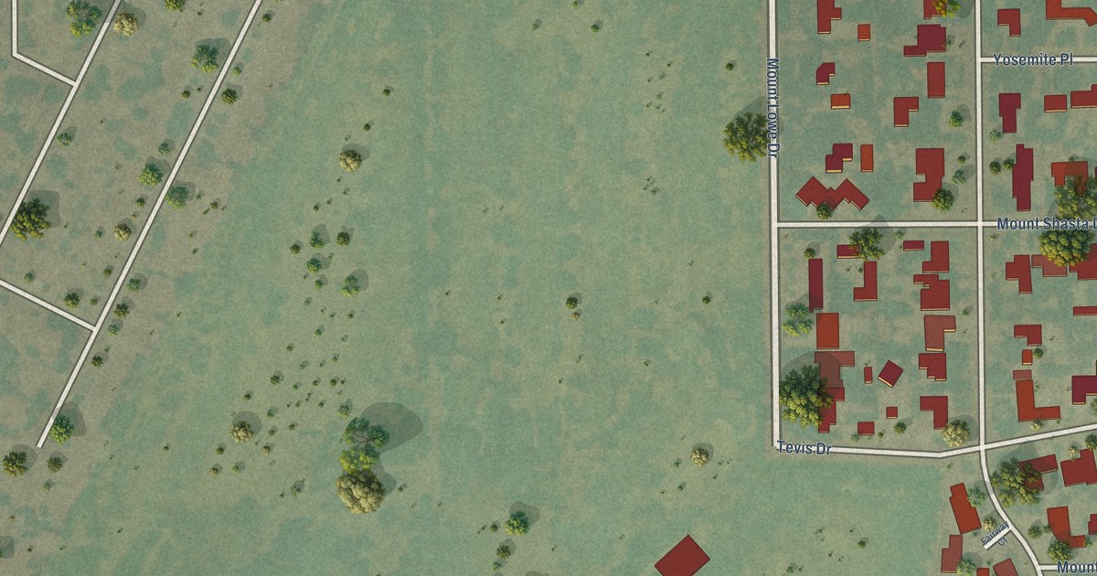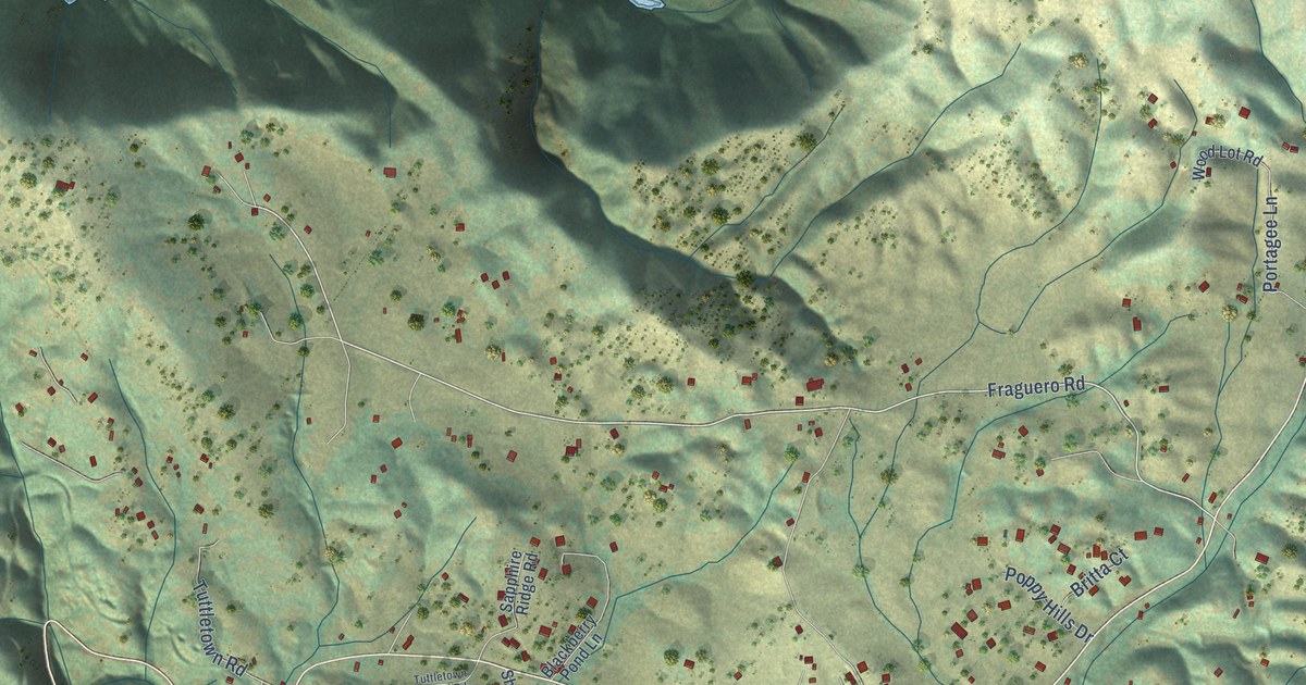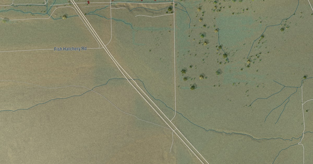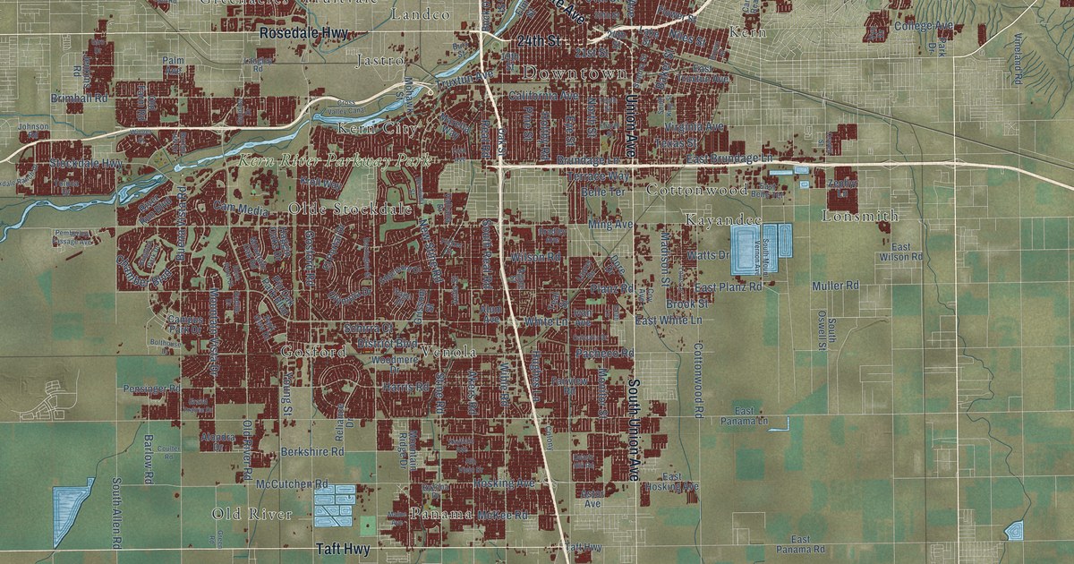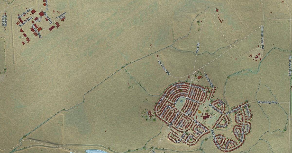
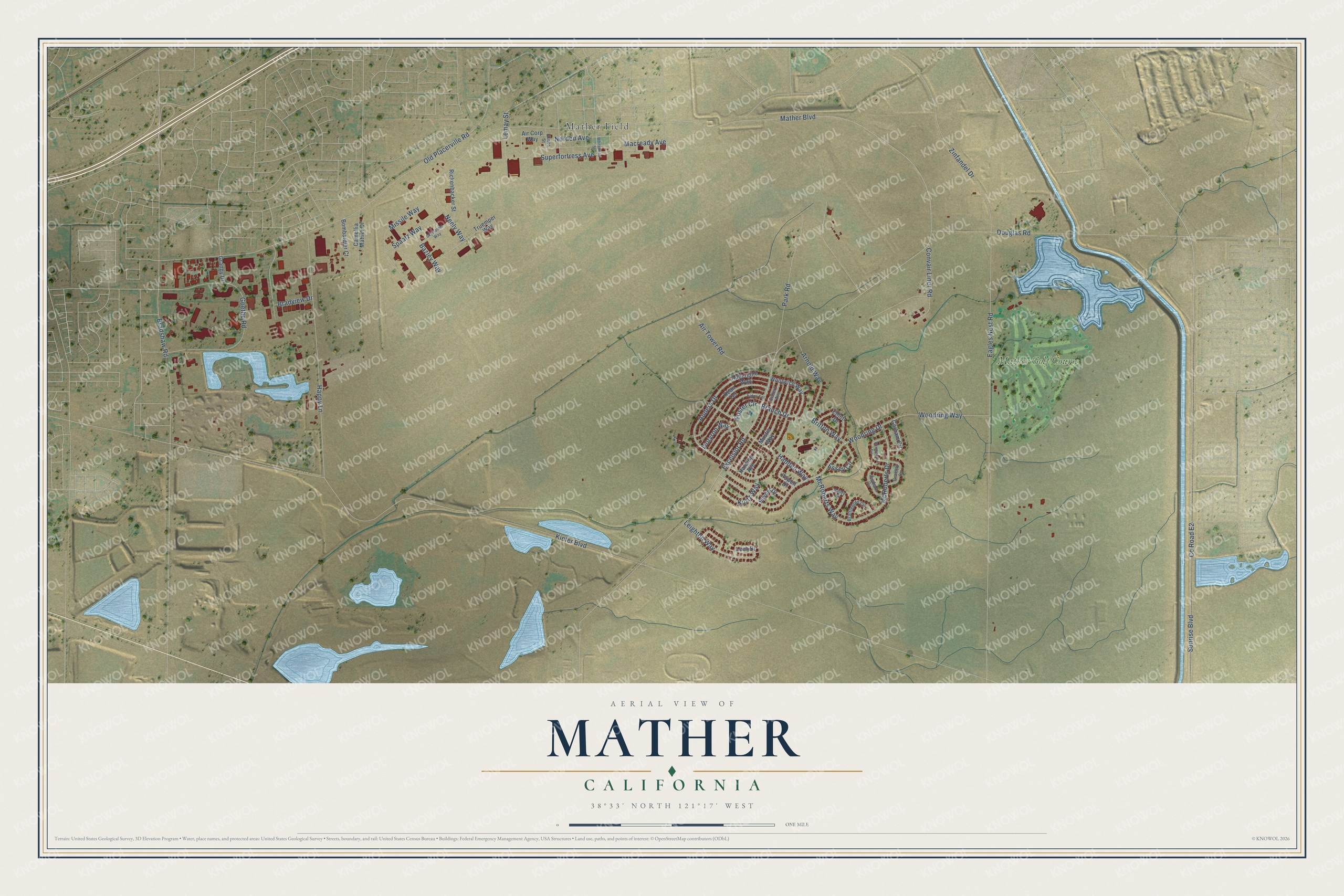
This beautifully detailed map of Mather, California was created in 2026 using aerial imagery combined with modern topographical, census, street and landmark data. It's a modern aerial view of Mather in Sacramento County, California, that combines modern data with a vintage aesthetic. The roads feature printed names, and if you look closely you can find your exact house accurately shown in its correct location.
Explore an aerial view of Mather, California
On this map you'll find Mather Field, Mather Golf Course, Excelsior Road, Branch Drive, Foster Circle, Mather Boulevard, McRoberts Way, McRoberts Drive, Superfortress Avenue, Kiefer Boulevard, Eagles Nest Road, Co Road E2, and more. Each red shape is a building, so zoom in on the preview and look for yours.
Mather has a story worth telling. Mather Field at Sacramento opened for training aviators on June 24, 1918, the 28th flying field then running. It was named for Second Lieutenant Carl S. Mather, who was killed at Ellington Field in Texas in a collision in the air at 2,000 feet. That's from the Committee on Public Information.
Mather is a community in Sacramento County. The Census Bureau counted 4,698 people here in 2020.
Take a closer look at the Mather map
Names on this map
These names are printed on this map.
Places: Mather Field and Mather Golf Course.
Streets and roads: Excelsior Road, Branch Drive, Foster Circle, Mather Boulevard, McRoberts Way, McRoberts Drive, Superfortress Avenue, Kiefer Boulevard, Eagles Nest Road, County Road E2, Sunrise Boulevard, Old Placerville Road.
More street names, A to Z
Air Corp Way, Air Tower Road, Anders Drive, Arnold Way, Aubergine Way, Bazley Way, Bombardier Court, Bradshaw Road, Bradview Drive, Brattleboro Circle, Britton Way, Camellia Mather Drive, Convair Liner Road, Dean Terrace, Douglas Road, Dusham Circle, Eaton Terrace, Eknes Street, Elliott Drive, Essey Circle, Foxmouth Circle, Gilbert Avenue, Goethe Road, Gorham Circle, Graeton Circle, Granby Drive, Hadden Way, Happy Lane, Harding Avenue, Ivoryron Way, Kurtz Way, Lach Drive, Leighton Way, Lemay Street, Macready Avenue, Malley Drive, Missile Way, Mustic Way, Neely Way, Norden Avenue, Park Road, Powell Drive, Rickenbacker Street, Skymaster Way, Snyder Drive, Spaatz Way, Truemper Way, Whitehead Street, Woodring Drive, Woodring Way, Woolwich Way, Zinfandel Drive.
See it on a wall
The Mather map as a framed print. Swipe for more.


Created by KNOWOL in 2026. The buildings are small red shapes, the roads carry their printed names, and shaded relief shows the shape of the land. The title panel reads "AERIAL VIEW OF MATHER, CALIFORNIA" with 38°33' NORTH 121°17' WEST.
It looks right in a kitchen, an office or a den, and it's a gift for anyone who grew up in Mather or moved away. Open the preview and find your street. See sizes and frames for the Mather map.