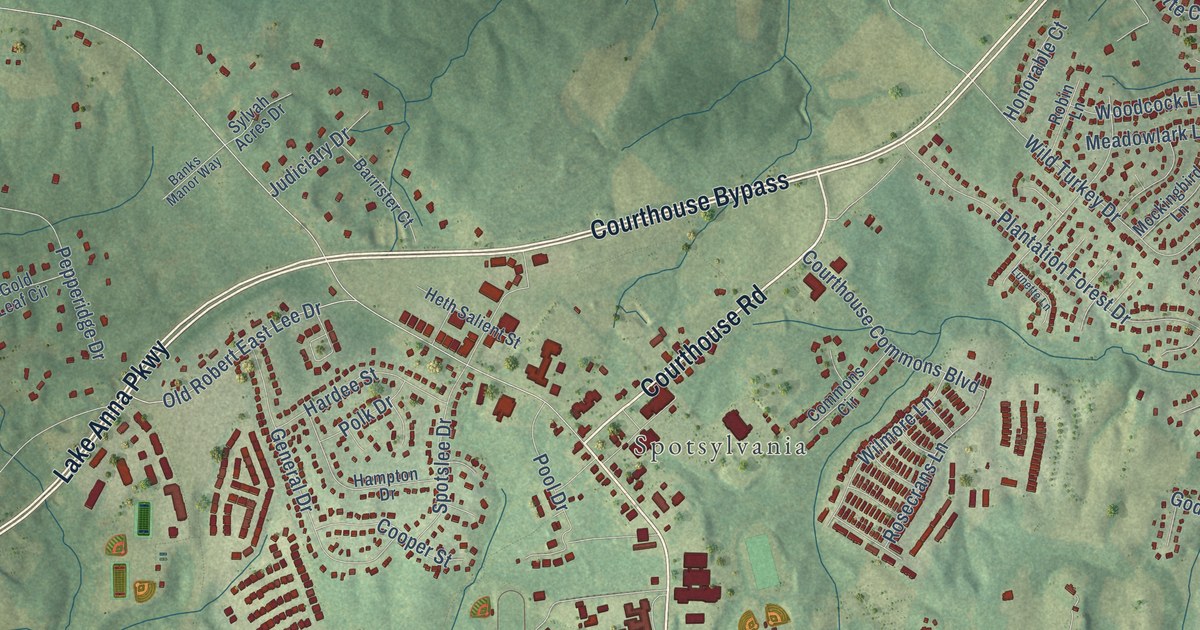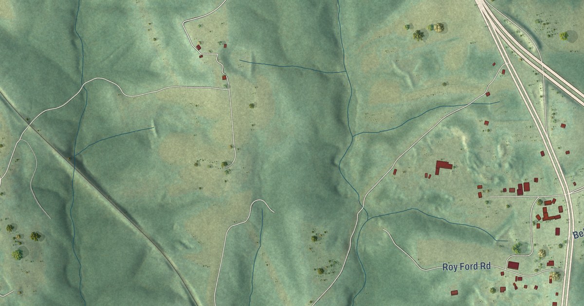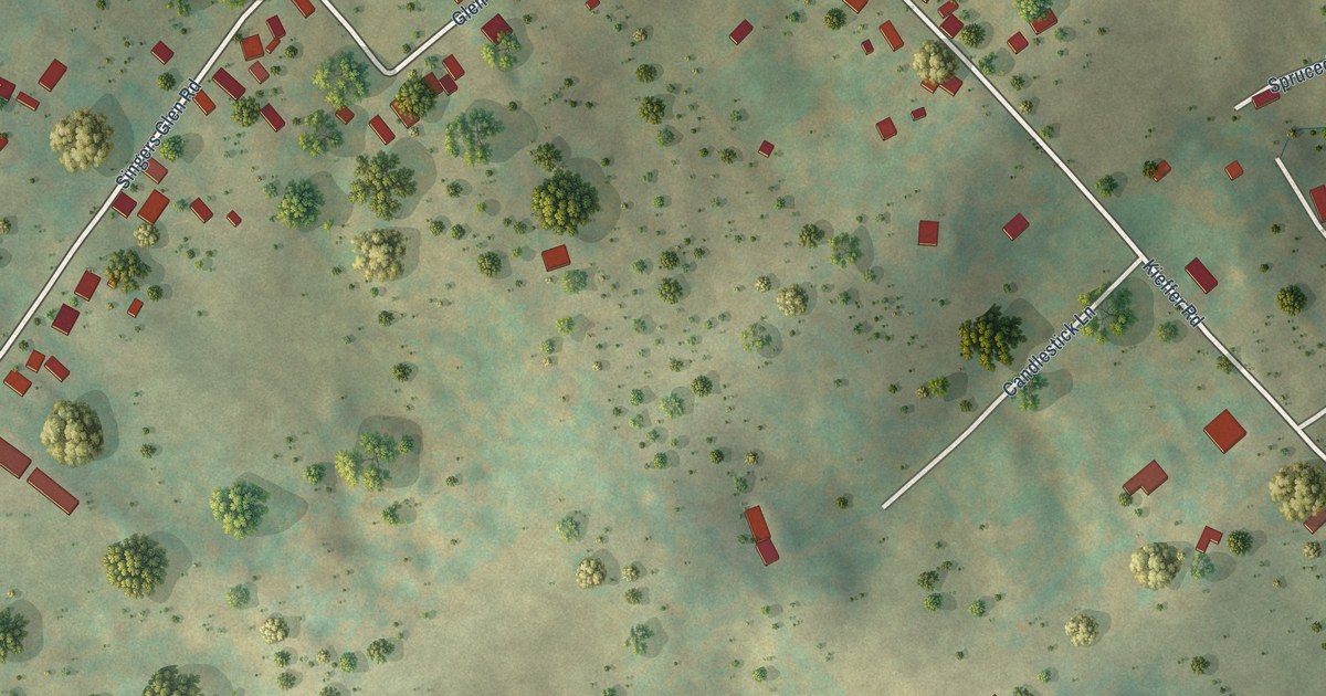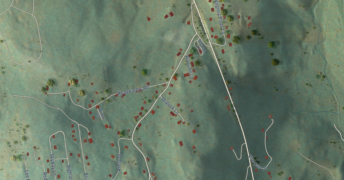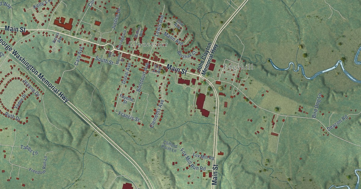
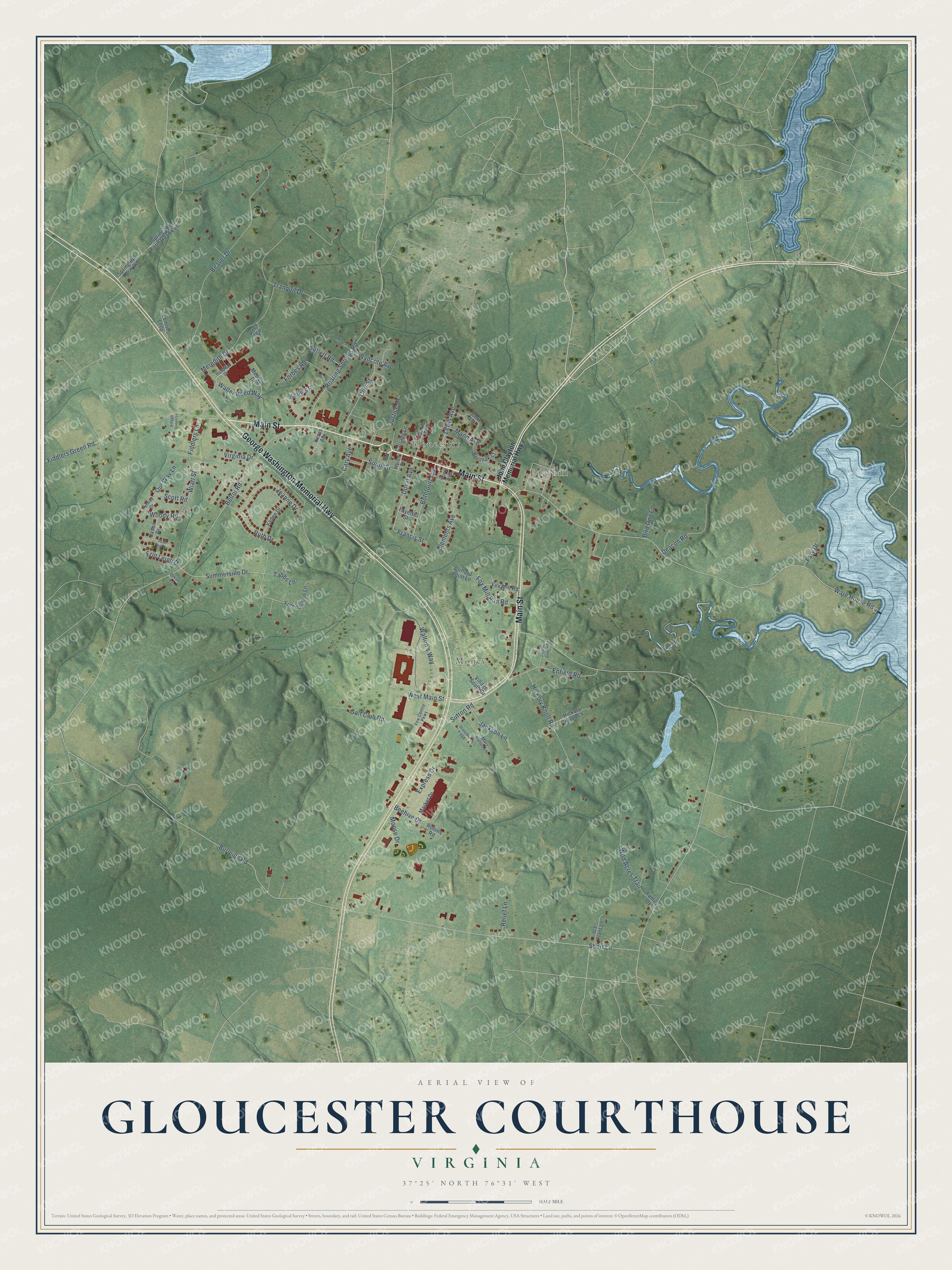
This beautifully detailed map of Gloucester Courthouse, Virginia was created in 2026 using aerial imagery combined with modern topographical, census, street and landmark data. It's a modern aerial view of Gloucester Courthouse in Gloucester County, Virginia, that combines modern data with a vintage aesthetic. The roads feature printed names, and if you look closely you can find your exact house accurately shown in its correct location.
Explore an aerial view of Gloucester Courthouse, Virginia
On this map you'll find Money, Edgehill, Gloucester, Main Street, George Washington Memorial Highway, Summerville Drive, Walton's Way, Duval Avenue, Ware House Road, Short Lane, Burleigh Road, Belroi Road, and more. Each red shape is a building, so zoom in on the preview and look for yours.
Gloucester Courthouse has a story worth telling. Gloucester Courthouse began as the Town of Botetourt, established in 1769. Its roots are older still, since one of Virginia's earliest courthouses was first set up on this site about 1680. The Georgian courthouse at the heart of the old courthouse square was built in 1766, and it was the county's third. That's from the Virginia Department of Historic Resources.
Gloucester Courthouse is a community in Gloucester County. The Census Bureau counted 3,030 people here in 2020.
Take a closer look at the Gloucester Courthouse map
Names on this map
These names are printed on this map.
Places: Money, Edgehill and Gloucester.
Streets and roads: Main Street, George Washington Memorial Highway, Summerville Drive, Walton's Way, Duval Avenue, Ware House Road, Short Lane, Burleigh Road, Belroi Road, Beaver Drive, Tranquil Drive, Fiddlers Green Road.
More street names, A to Z
Beehive Drive, Bershak Court, Bird Dog Lane, Blair Street, Botetourt Avenue, Carrage Lane, Cary Avenue, Catlett Road, Clements Avenue, Clifford Point Lane, Corr Street, Cox Avenue, Deacon Road, Dixon Lane, Enfield Road, Erin Leigh Drive, Express Drive, Family Drive, Fary Drive, Fayette Street, Fiddlers Lane, Forbes Road, Fox Centre Parkway, Fox Mill Road, Fox Mill Run Road, Francis Street, Freedom Goode Road, Freedom Run Lane, Golf Club Road, Hickory Knoll Lane, Hickory Knoll Road, Hospital Drive, Ice Plant Lane, Jackson Lane, Jason Drive, Jeanne Drive, Jeffrey Drive, John Clayton Memorial Highway, Justice Drive, Kelly's Place, Kerns Avenue, Lemons Loop, Lewis Avenue, Lomaki, Mann Avenue, Market Drive, Martin Street, Mary Sutton Lane, Medical Drive, Meredith Drive, Moose Drive, Our Way Lane, Reed Circle, Relief Lane, Roaring Springs Road, Robins Road, Ruth Drive, Scott Road, Sean Paul Drive, South Street, Spring Hill Farm Road, Spring Hill Farm Road East, State Route F-688, Sutton Road, Tabbs Lane, Vaden Drive, Village Green Lane, Village South Drive, Virginia Drive, Walker Avenue, Walter Reed Way, West Main Street, Wiatt Street, Wild Acres Trail, Woody Road, Wyncote Avenue, York Avenue.
See it on a wall
The Gloucester Courthouse map as a framed print. Swipe for more.


Created by KNOWOL in 2026. The buildings are small red shapes, the roads carry their printed names, and shaded relief shows the shape of the land. The title panel reads "AERIAL VIEW OF GLOUCESTER COURTHOUSE, VIRGINIA" with 37°25' NORTH 76°31' WEST.
It looks right in a kitchen, an office or a den, and it's a gift for anyone who grew up in Gloucester Courthouse or moved away. Open the preview and find your street. See sizes and frames for the Gloucester Courthouse map.