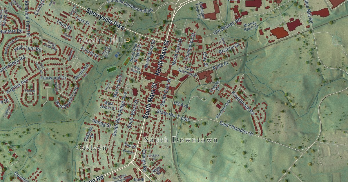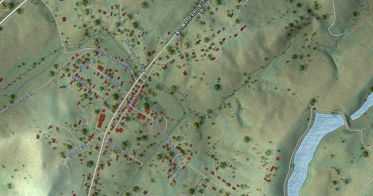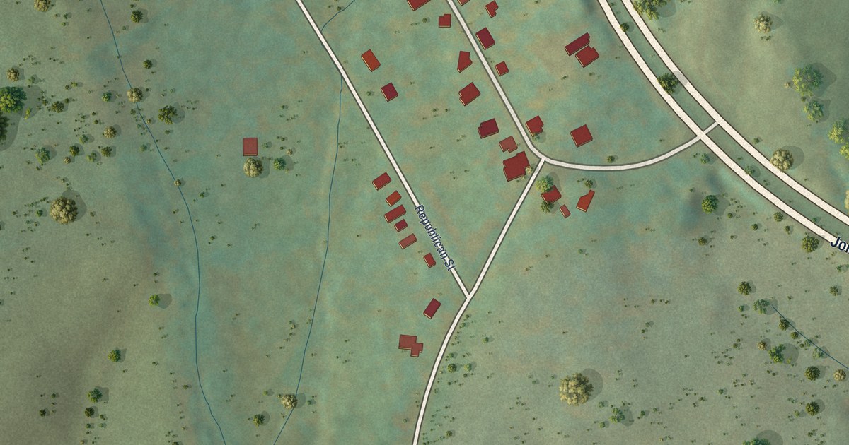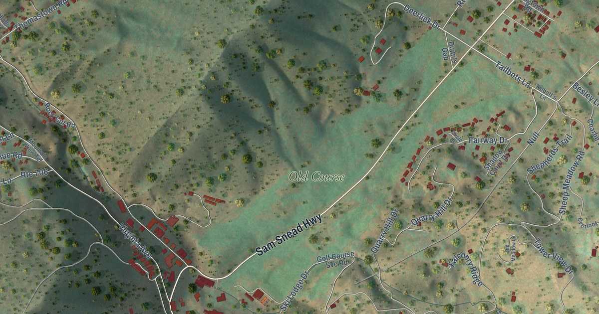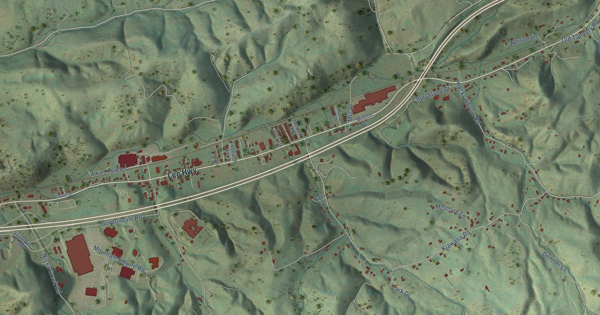
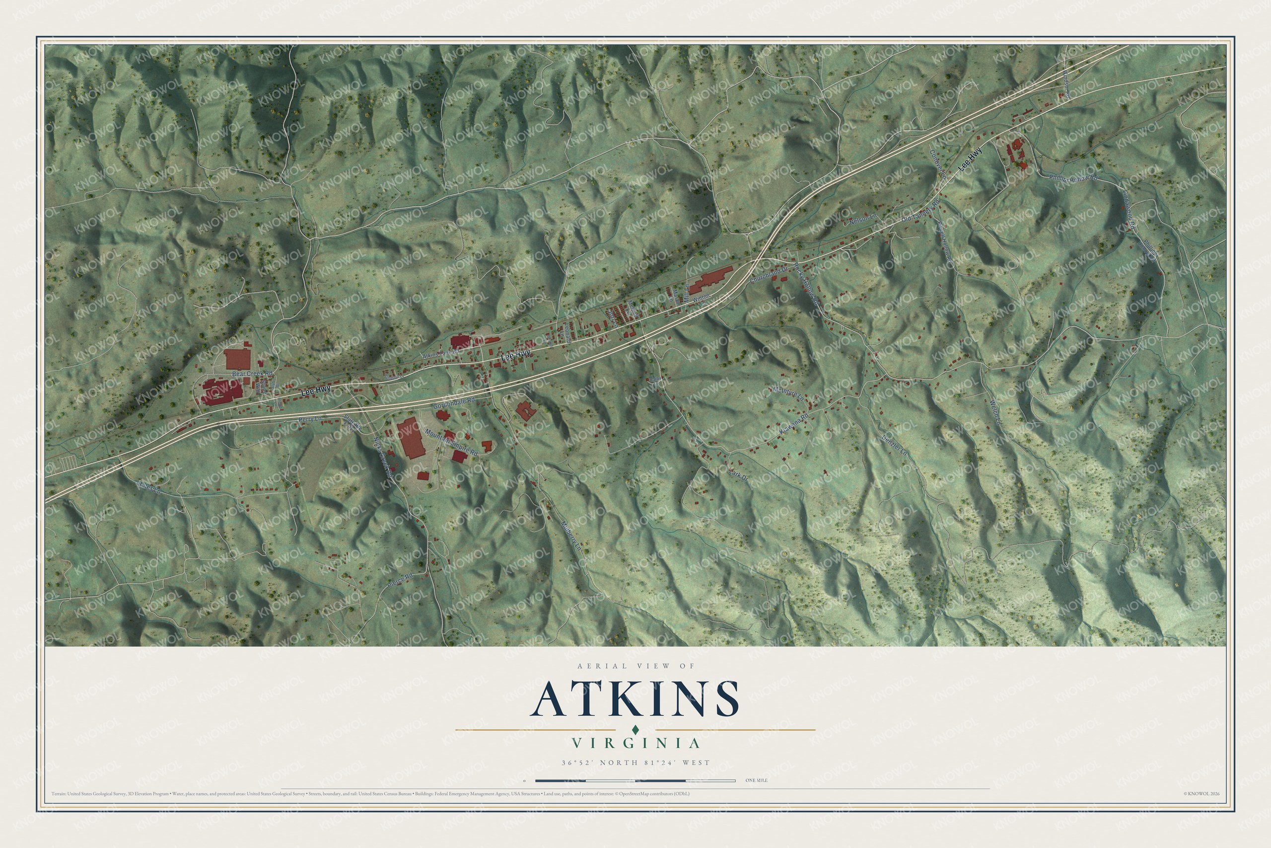
This beautifully detailed map of Atkins, Virginia was created in 2026 using aerial imagery combined with modern topographical, census, street and landmark data. It's a modern aerial view of Atkins in Smyth County, Virginia, that combines modern data with a vintage aesthetic. The roads feature printed names, and if you look closely you can find your exact house accurately shown in its correct location.
Explore an aerial view of Atkins, Virginia
On this map you'll find Lee Highway, Bear Creek Road, Rocky Hollow Road, Kiawana Road, Mulberry Lane, Bales Lane, Nicks Creek Road, Lindawood Road, Phillipi Hollow Road, Gordondale Road, Mountain Empire Road, Denzler Lane, and more. Each red shape is a building, so zoom in on the preview and look for yours.
Every town has a first chapter, and Atkins is no exception. Frederick Cullop built the Old Stone Tavern beside the Wilderness Road before 1815 to serve travelers in the heavy westward migration through the Cumberland Gap. Made of local limestone, it is one of the oldest stone buildings in Smyth County, and its two-level front gallery is trimmed with scalloped eaves. That's from the Virginia Department of Historic Resources.
Atkins is a community in Smyth County. The Census Bureau counted 1,121 people here in 2020.
Take a closer look at the Atkins map
Names on this map
These names are printed on this map.
Streets and roads: Lee Highway, Bear Creek Road, Rocky Hollow Road, Kiawana Road, Mulberry Lane, Bales Lane, Nicks Creek Road, Lindawood Road, Phillipi Hollow Road, Gordondale Road, Mountain Empire Road, Denzler Lane.
More street names, A to Z
Atkins Tank Road, Bloom Lane, Butternut Lane, Churchland Drive, Conover Lane, Darby Lane, Jori Lane, Lark Drive, Leonard Lane, Mason Lane, McIntyre Lane, Metcalf Lane, Mill Lane, Nelson Lane, Old Tannery Road, Pender Lane, Perry Lane, Phillippi Hollow Road, Pierce Road, Powell Hollow Road, Slate Drive, State Route F-011, Stone Way, Welch Lane, Windsor Road, Winton Lane.
See it on a wall
The Atkins map as a framed print. Swipe for more.


Created by KNOWOL in 2026. The buildings are small red shapes, the roads carry their printed names, and shaded relief shows the shape of the land. The title panel reads "AERIAL VIEW OF ATKINS, VIRGINIA" with 36°52' NORTH 81°24' WEST.
Hang it in the hallway, the office or the cabin, or give it to someone who left Atkins and still calls it home. Open the preview and look for a street you know. See sizes and frames for the Atkins map.