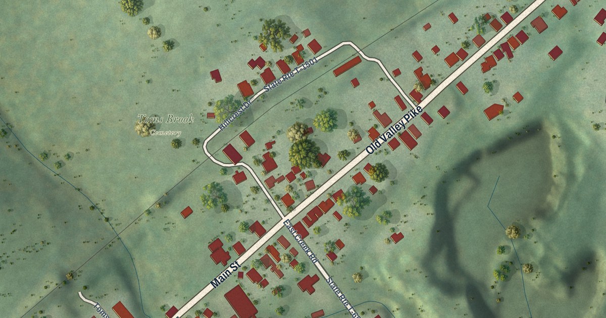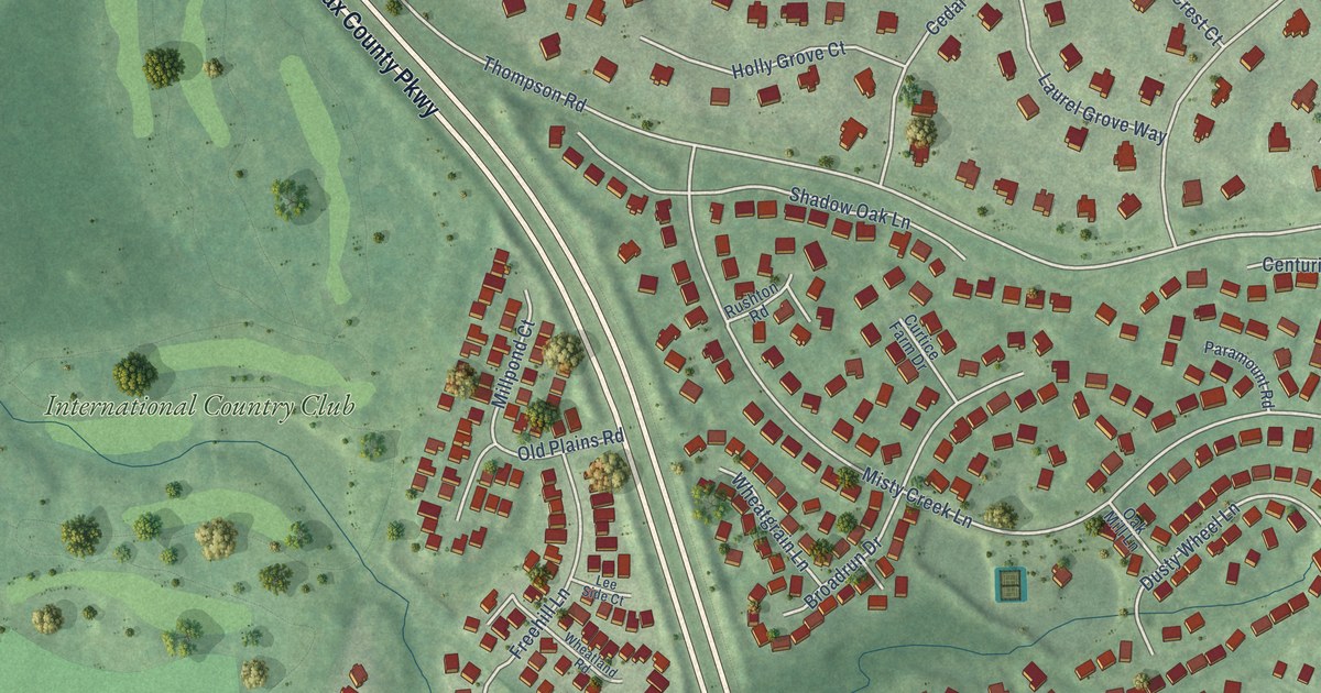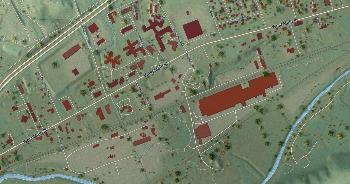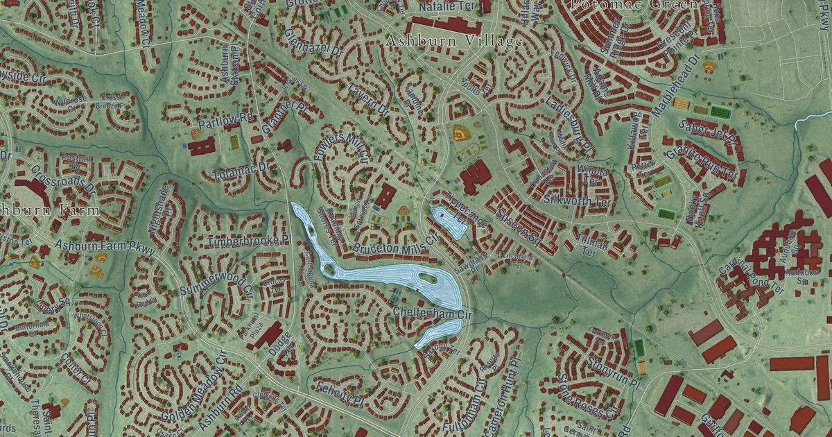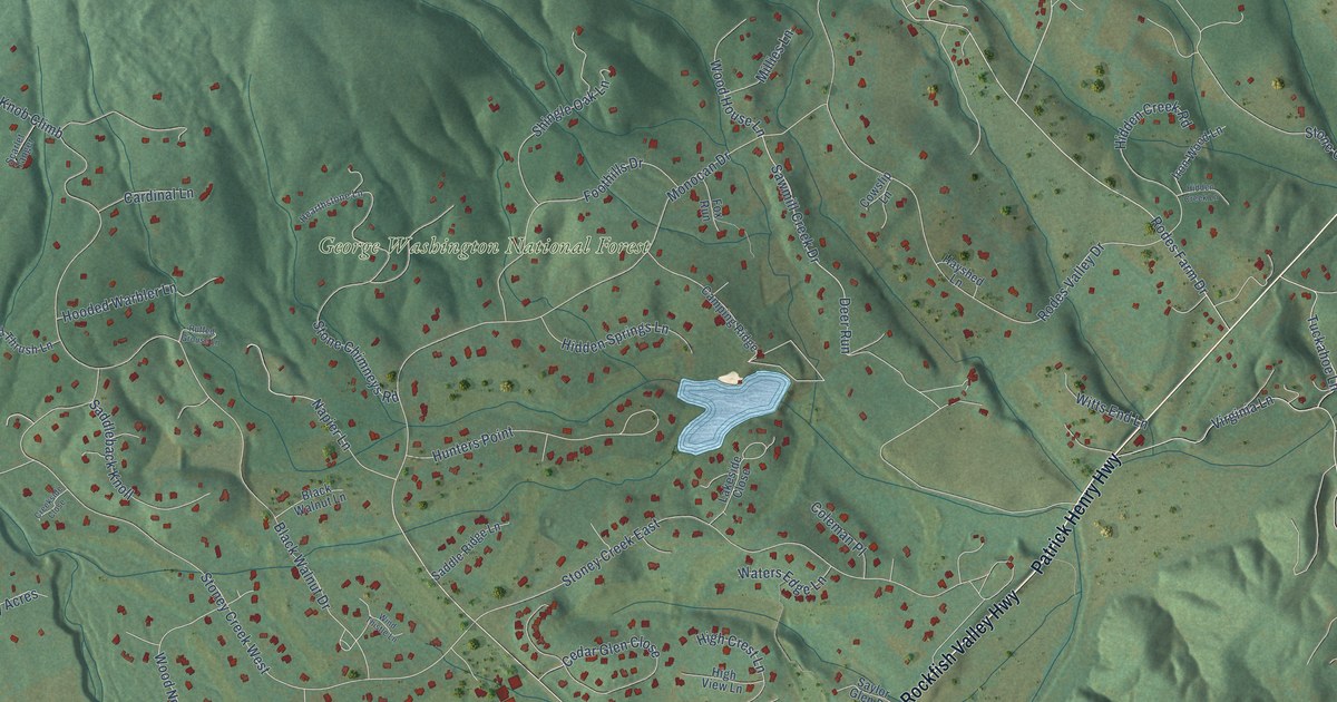
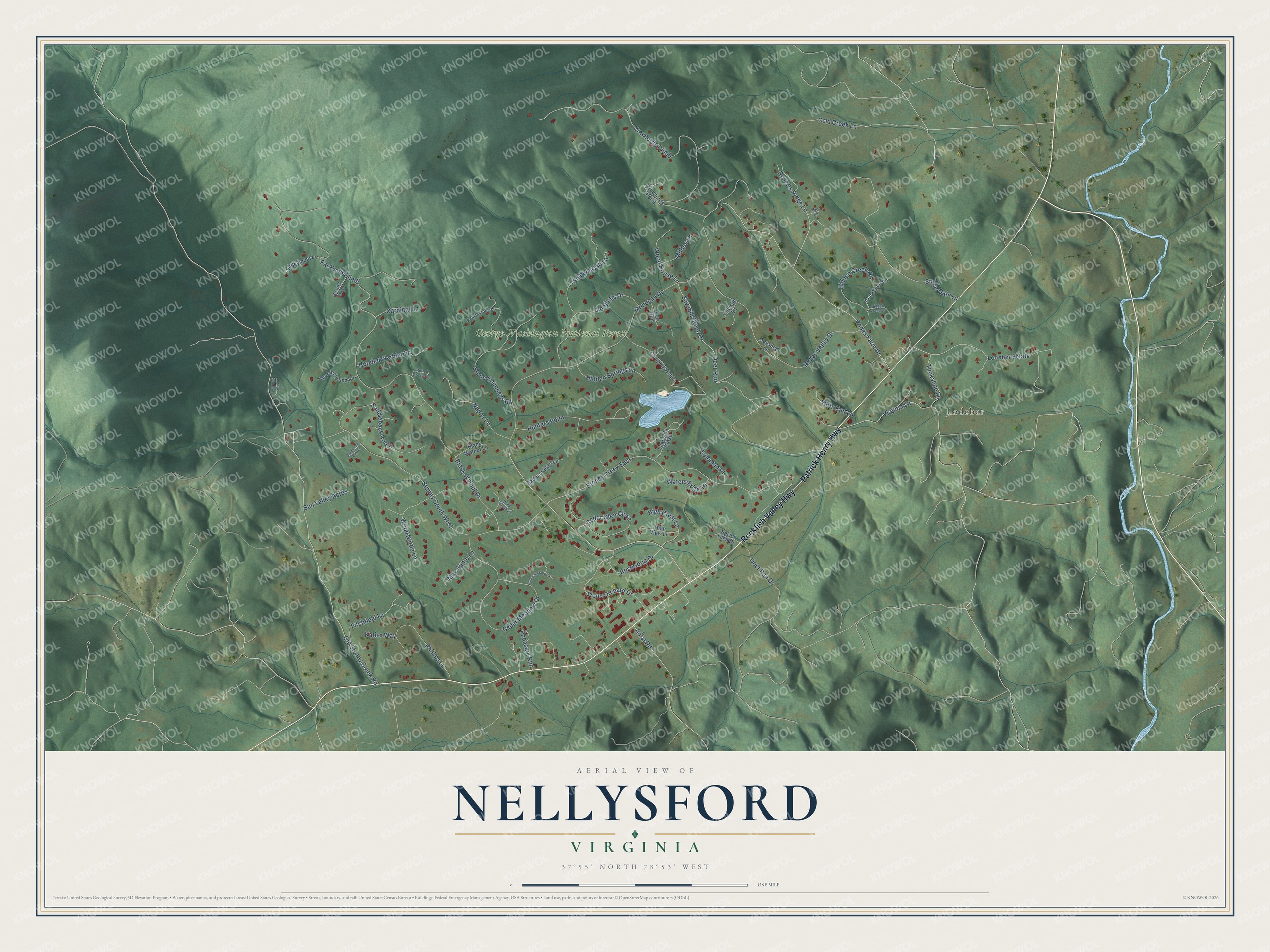
This beautifully detailed map of Nellysford, Virginia was created in 2026 using aerial imagery combined with modern topographical, census, street and landmark data. It's a modern aerial view of Nellysford in Nelson County, Virginia, that combines modern data with a vintage aesthetic. The roads feature printed names, and if you look closely you can find your exact house accurately shown in its correct location.
Explore an aerial view of Nellysford, Virginia
On this map you'll find Lodebar, George Washington National Forest, Rockfish Valley Highway, Patrick Henry Highway, Sawmill Creek Drive, Old Stoney Creek Road, Monocan Drive, Black Walnut Drive, Rodes Valley Drive, Crawfords Climb, Stoney Creek West, Stoney Creek East, and more. Each red shape is a building, so zoom in on the preview and look for yours.
Nellysford is a community in Nelson County. The Census Bureau counted 1,254 people here in 2020. Nellysford sits about 2 miles east of Wintergreen, 5 miles southeast of Sherando and 8 miles southeast of Lyndhurst. The map prints the town name in its title panel, with the coordinates below it.
Take a closer look at the Nellysford map
Names on this map
These names are printed on this map.
Places: Lodebar and George Washington National Forest.
Streets and roads: Rockfish Valley Highway, Patrick Henry Highway, Sawmill Creek Drive, Old Stoney Creek Road, Monocan Drive, Black Walnut Drive, Rodes Valley Drive, Crawfords Climb, Stoney Creek West, Stoney Creek East, Rodes Farm Drive, Cedar Meadow Drive.
More street names, A to Z
Adial Road, Black Walnut Lane, Blue Chickory Lane, Camping Ridge, Cardinal Lane, Cedar Glen Close, Cold Creek Lane, Coleman Place, Cowslip Lane, Crawfords Point, Creekside Close, Deer Run, Deer Run Drive, Far Knob Climb, Fitchfield Lane, Foothills Drive, Fox Run, Hayshed Lane, Hearthstone Lane, Hidden Creek Lane, Hidden Creek Road, Hidden Springs Lane, High Crest Lane, High View Lane, Hooded Warbler Lane, Hunters Point, Iron Wood Lane, Katies Way, Lakeside Close, Little Stoney Lane, Lodebar Estate, May Apple Lane, Millies Lane, Napier Lane, Pheasant Run, Phillips Lane, Roberts Ridge Lane, Rosewood Drive, Ruffed Grouse Lane, Saddleback Knoll, Saddle Ridge Lane, Saylor Glen Drive, Scarlet Tanger, Shingle Oak Lane, Stone Chimneys Road, Stone Gate Lane, Stone Orchard Drive, Sun Valley Acres, Tuckahoe Lane, Valleymont Lane, Virginia Lane, Waters Edge Lane, Wind Thistle Lane, Witts End Lane, Wood House Lane, Wood Nettle Lane, Wood Thrush Lane, Zoo Lane.
See it on a wall
The Nellysford map as a framed print. Swipe for more.


Created by KNOWOL in 2026. The buildings are small red shapes, the roads carry their printed names, and shaded relief shows the shape of the land. The title panel reads "AERIAL VIEW OF NELLYSFORD, VIRGINIA" with 37°55' NORTH 78°53' WEST.
Hang it in the hallway, the office or the cabin, or give it to someone who left Nellysford and still calls it home. Open the preview and look for a street you know. See sizes and frames for the Nellysford map.