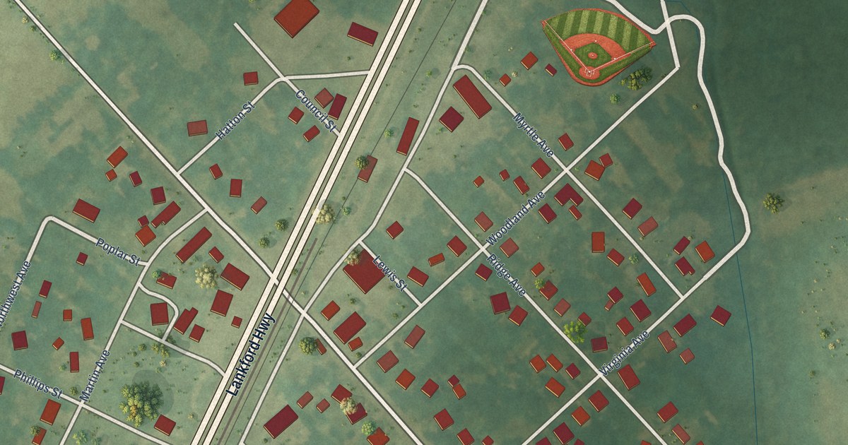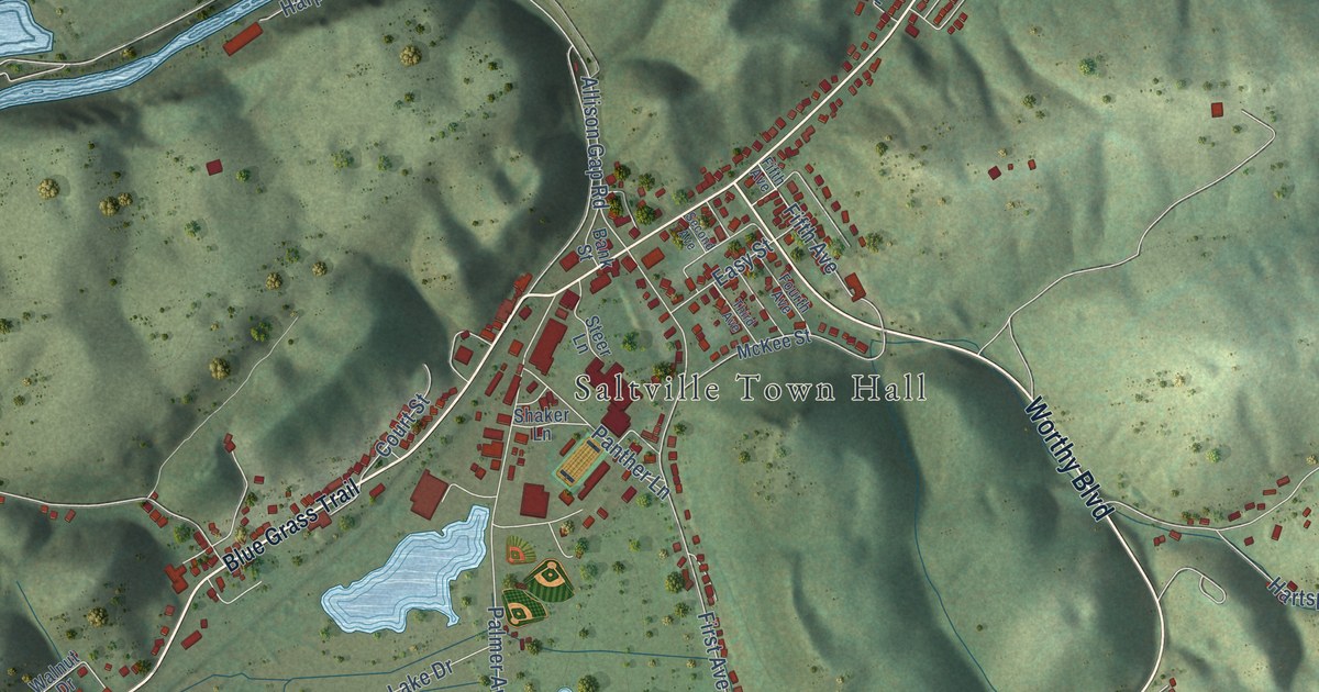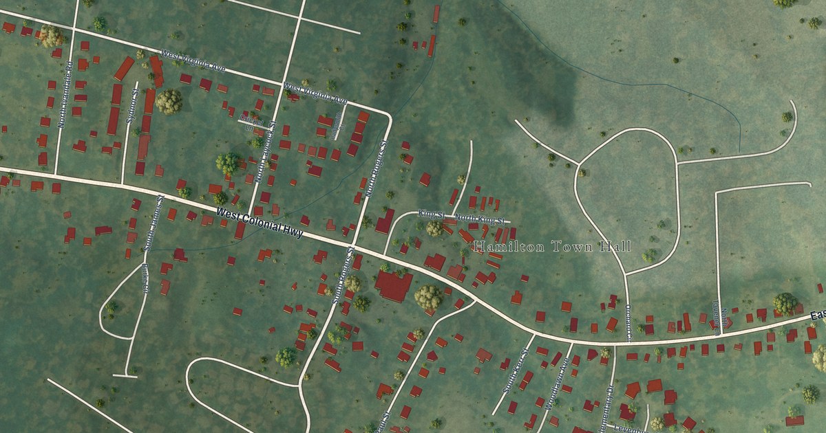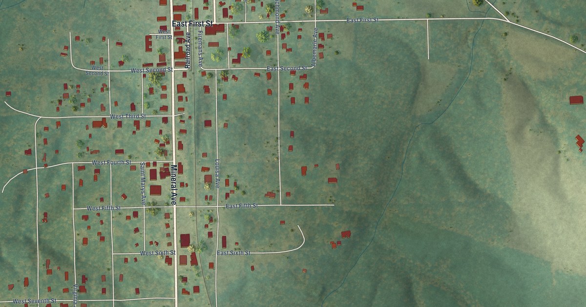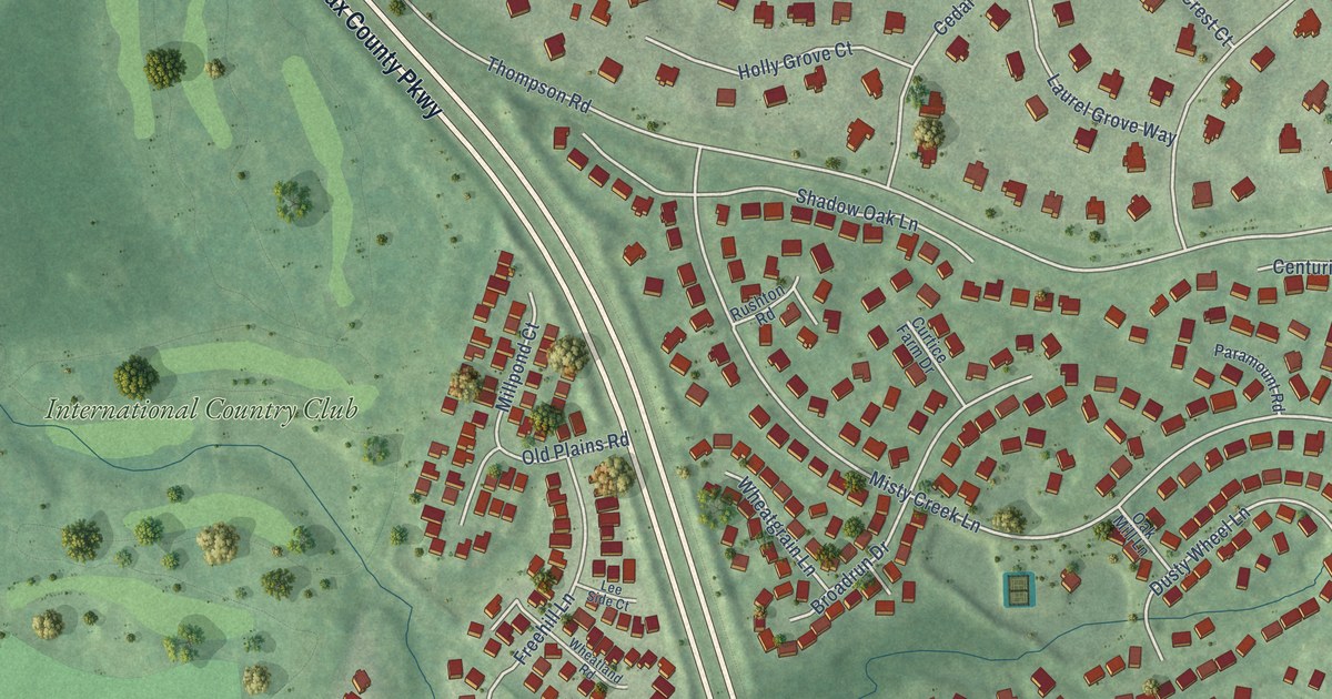
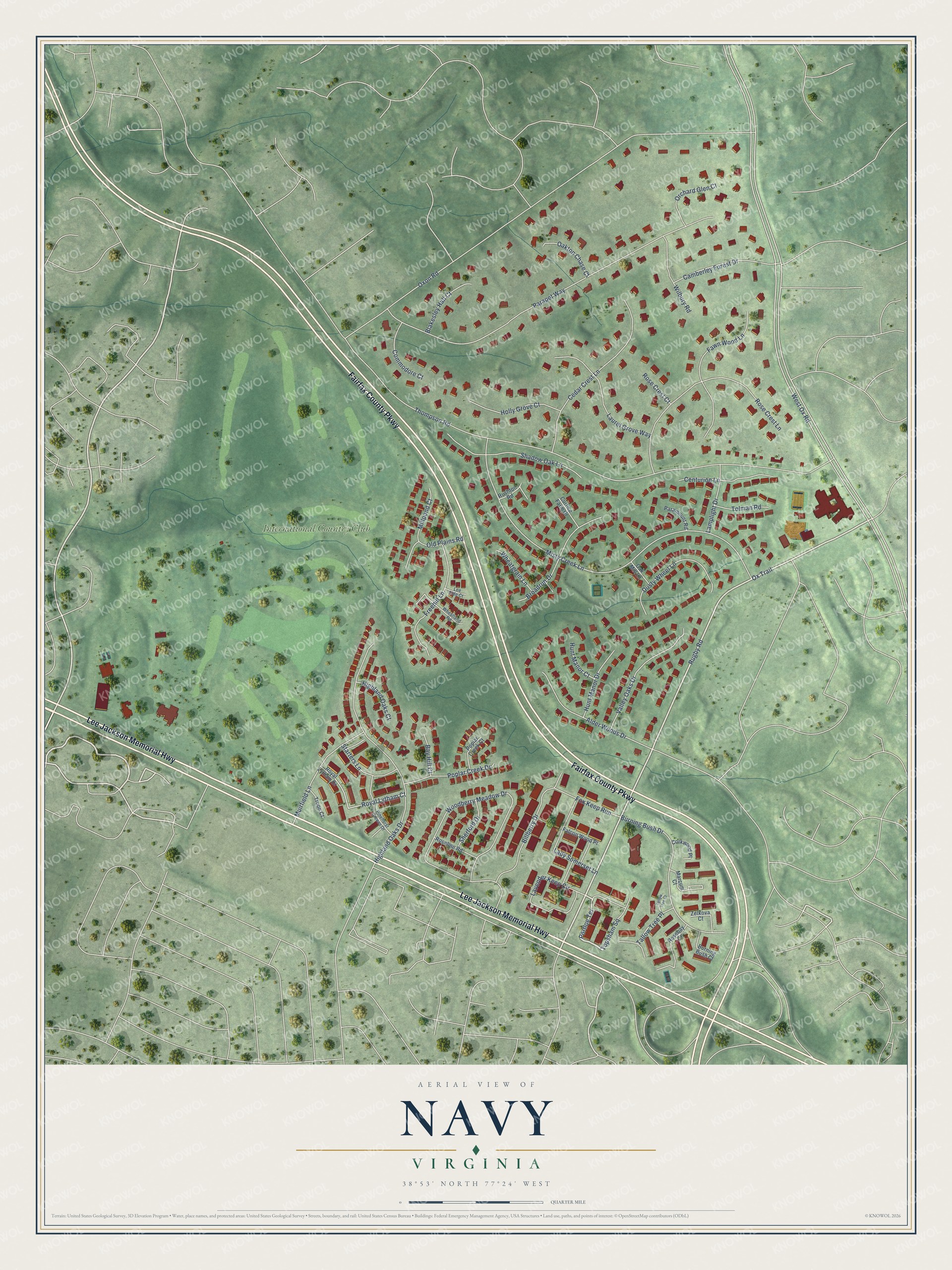
This beautifully detailed map of Navy, Virginia was created in 2026 using aerial imagery combined with modern topographical, census, street and landmark data. It's a modern aerial view of Navy in Fairfax County, Virginia, that combines modern data with a vintage aesthetic. The roads feature printed names, and if you look closely you can find your exact house accurately shown in its correct location.
Explore an aerial view of Navy, Virginia
On this map you'll find International Country Club, Fairfax County Parkway, Lee Jackson Memorial Highway, Portloe Terrace, Rugby Road, Ox Trail, West Ox Road, Thompson Road, Oxon Road, Misty Creek Lane, Parapet Way, Woodberry Meadow Drive, and more. Each red shape is a building, so zoom in on the preview and look for yours.
Navy is a community in Fairfax County. The Census Bureau counted 4,327 people here in 2020. The map prints the town name in its title panel, with the coordinates below it.
Take a closer look at the Navy map
Names on this map
These names are printed on this map.
Places: International Country Club.
Streets and roads: Fairfax County Parkway, Lee Jackson Memorial Highway, Portloe Terrace, Rugby Road, Ox Trail, West Ox Road, Thompson Road, Oxon Road, Misty Creek Lane, Parapet Way, Woodberry Meadow Drive, Highland Oaks Drive.
More street names, A to Z
Alder Woods Drive, Bay Hill Court, Billberry Drive, Blakesley Hall Court, Broadrun Drive, Burning Bush Court, Burning Bush Drive, Camberley Forest Drive, Cedar Crest Lane, Centurion Lane, Commodore Court, Corkwood Place, Curtice Farm Drive, Dusty Wheel Lane, Falcon Wood Place, Fawn Wood Lane, Fox Keep Run, Freehill Lane, Highland Oaks Court, Holly Grove Court, Hunt Manor Court, Hunt Manor Drive, Lady Somerset Lane, Lamplight Drive, Laurel Grove Way, Lavender Keep Circle, Lee Side Court, Marcum Court, Millpond Court, Muirfield Lane, Oak Mill Lane, Oakton Chase Court, Old Plains Road, Orchard Glen Court, Paramount Road, Pinehurst Greens Drive, Poplar Creek Court, Poplar Creek Drive, Rosebay Court, Rose Crest Court, Rose Crest Lane, Roseline Road, Royal Lytham Court, Royal Lytham Drive, Rushton Road, Shadow Oak Lane, Sherford Drive, Starters Lane, Tallow Tree Court, Tallow Tree Place, Tolman Road, Topsham Square, Troon Court, Valley Oaks Drive, Wheatgrain Lane, Wheatland Road, Wilbury Road, Zelkova Court.
See it on a wall
The Navy map as a framed print. Swipe for more.


Created by KNOWOL in 2026. The buildings are small red shapes, the roads carry their printed names, and shaded relief shows the shape of the land. The title panel reads "AERIAL VIEW OF NAVY, VIRGINIA" with 38°53' NORTH 77°24' WEST.
It suits a den, a classroom or a front hall, and it makes a gift for anyone with Navy roots. Open the preview and find the block you know. See sizes and frames for the Navy map.