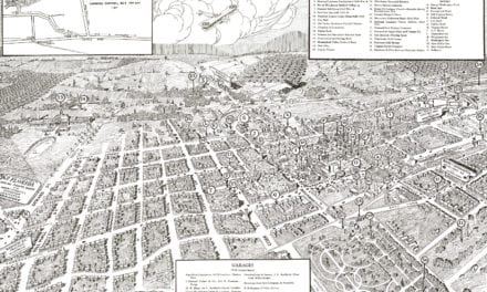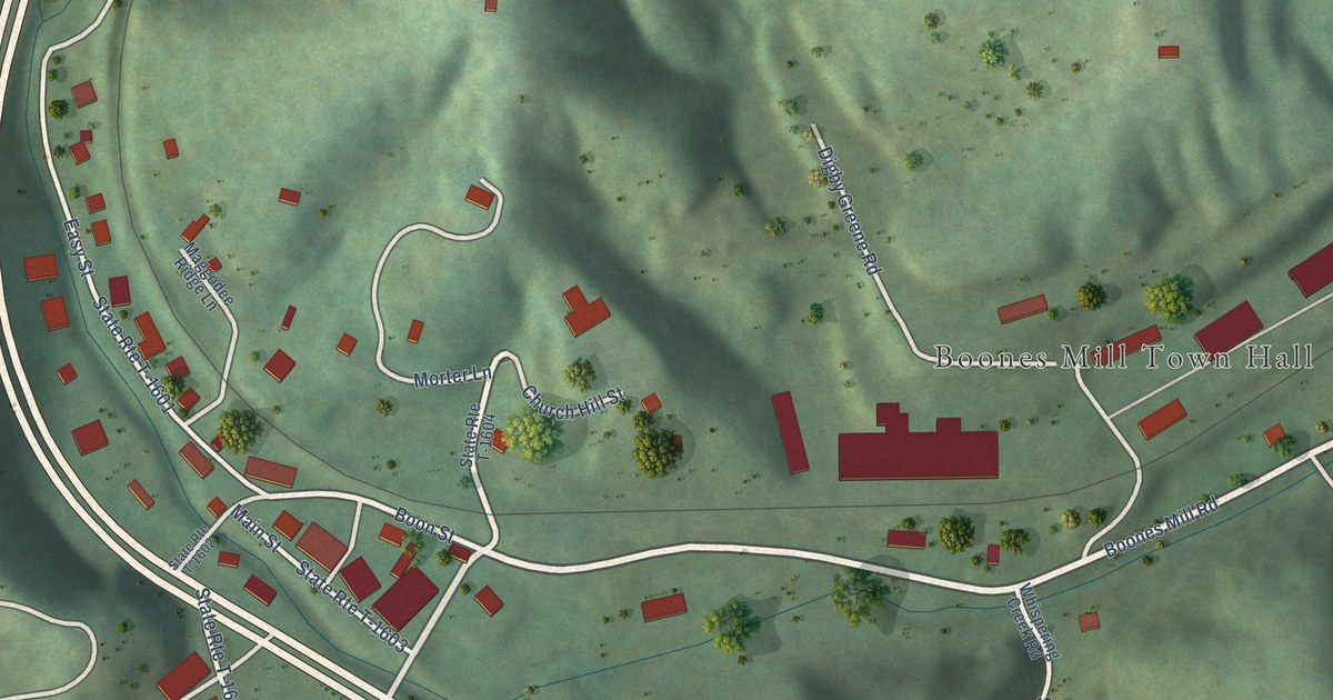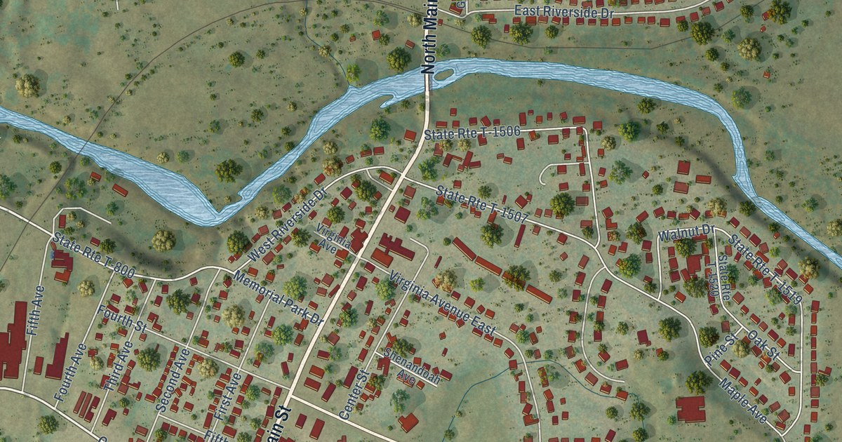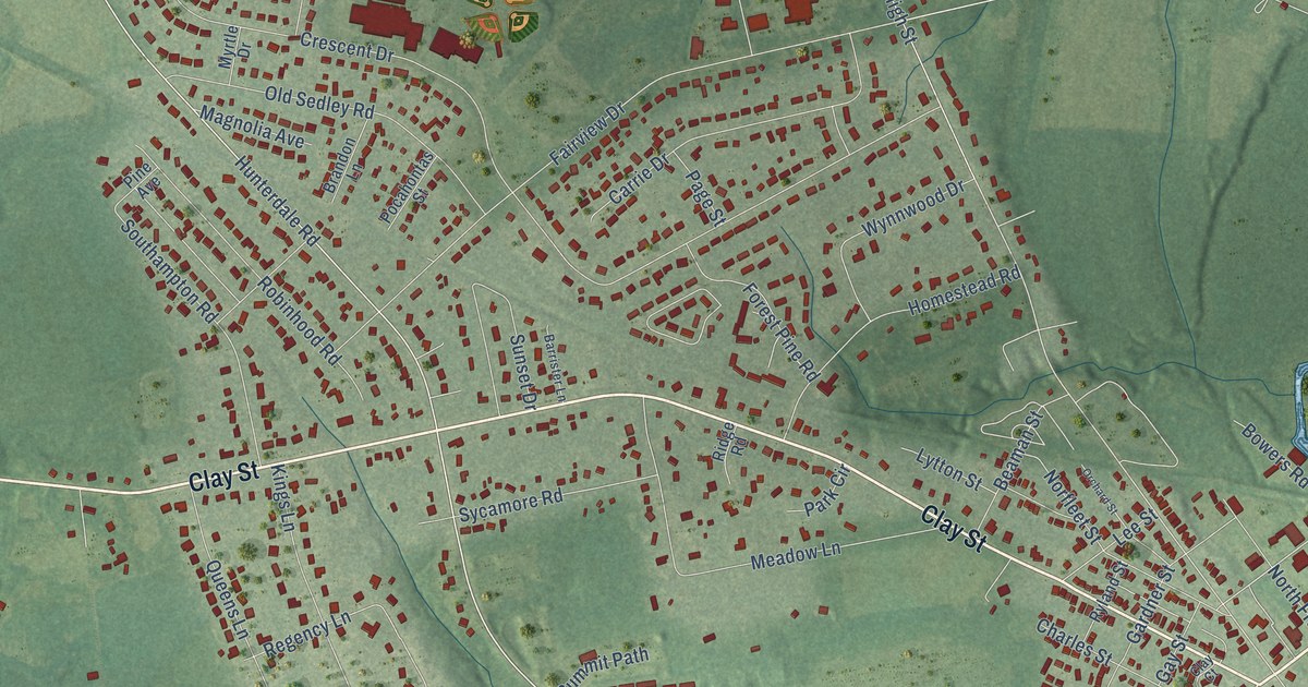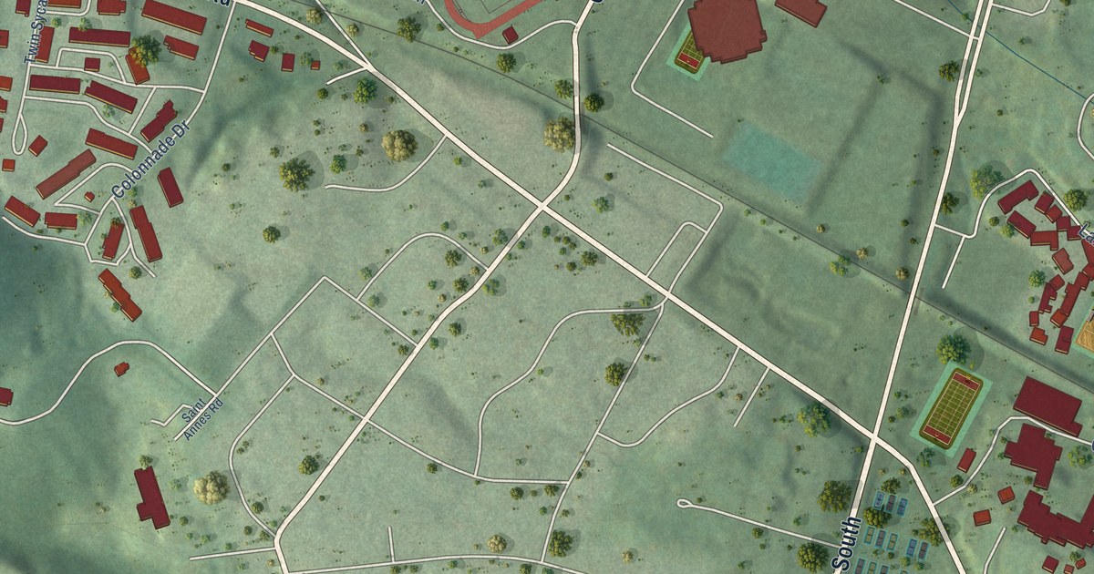
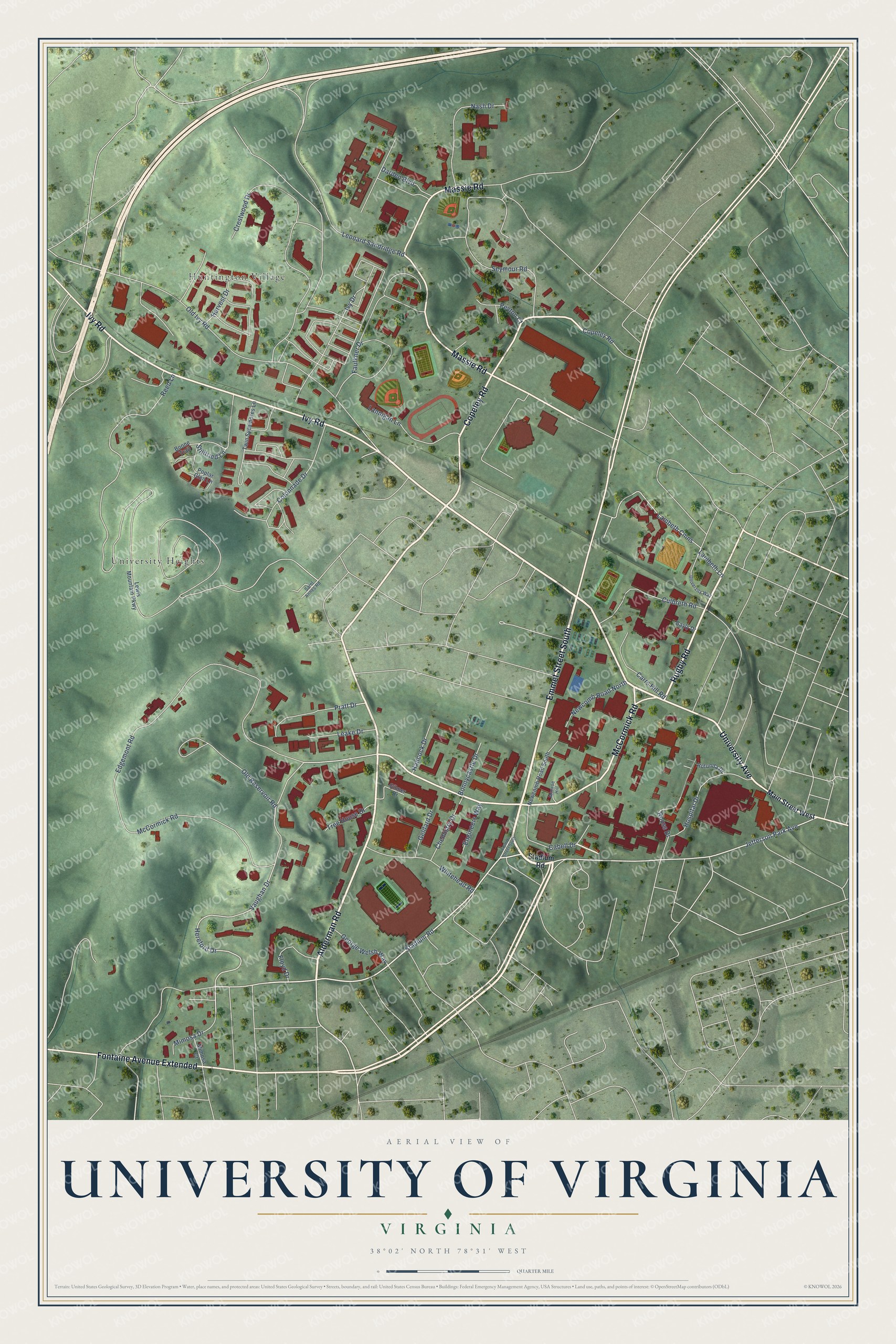
This beautifully detailed map of University of Virginia, Virginia was created in 2026 using aerial imagery combined with modern topographical, census, street and landmark data. It's a modern aerial view of University of Virginia in Albemarle County, Virginia, that combines modern data with a vintage aesthetic. The roads feature printed names, and if you look closely you can find your exact house accurately shown in its correct location.
Explore an aerial view of University of Virginia, Virginia
On this map you'll find University Heights, Huntington Village, Emmet Street South, Alderman Road, University Avenue, Rugby Road, Copeley Road, McCormick Road, Massie Road, Fontaine Avenue Extended, Ivy Road, Stadium Road, and more. Each red shape is a building, so zoom in on the preview and look for yours.
University of Virginia is a community in Albemarle County. The Census Bureau counted 7,909 people here in 2020. The map prints the town name in its title panel, with the coordinates below it.
Take a closer look at the University of Virginia map
Names on this map
These names are printed on this map.
Places: University Heights and Huntington Village.
Streets and roads: Emmet Street South, Alderman Road, University Avenue, Rugby Road, Copeley Road, McCormick Road, Massie Road, Fontaine Avenue Extended, Ivy Road, Stadium Road, Hereford Drive, Vaughan Drive.
More street names, A to Z
Bayly Drive, Bonnycastle Drive, Boone Trail, Cabell Drive, Carrs Hill Road, Chemistry Drive, Colonnade Drive, Crestwood Drive, Culbreth Road, Darden Boulevard, Edgemont Road, Engineers Way, Faulkner Drive, Floyd Drive, Geldard Drive, George Welsh Way, Gilmer Drive, Hancock Drive, Harvest Drive, Hospital Drive, Ivy Drive, Jefferson Park Avenue, Lambeth Cmns, Lambeth Lane, Lannigan Lane, Leake Drive, Leonard Sandridge Road, Lewis Mountain Parkway, Main Street West, Mimosa Court, Mimosa Drive, Monroe Hill, Nash Drive, Newcomb Road North, Newcomb Road South, Old Ivy Road, Old Reservoir Road, Peyton Court, Poplar Glen Lane, Pratt Drive, Reed Lane, Rotunda Drive, Rouss Drive, Saint Annes Road, Seymour Road, Stillfried Lane, Tree House Drive, Twin Sycamores Lane, University Way, Whitehead Road.
See it on a wall
The University of Virginia map as a framed print. Swipe for more.


Created by KNOWOL in 2026. The buildings are small red shapes, the roads carry their printed names, and shaded relief shows the shape of the land. The title panel reads "AERIAL VIEW OF UNIVERSITY OF VIRGINIA, VIRGINIA" with 38°02' NORTH 78°31' WEST.
It suits a den, a classroom or a front hall, and it makes a gift for anyone with University of Virginia roots. Open the preview and find the block you know. See sizes and frames for the University of Virginia map.