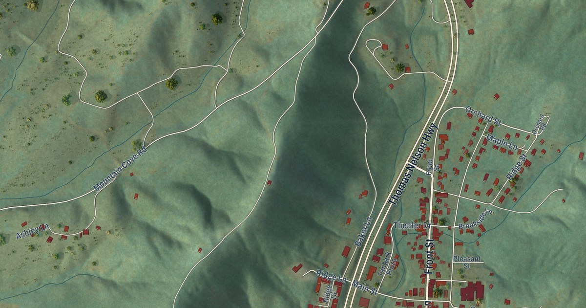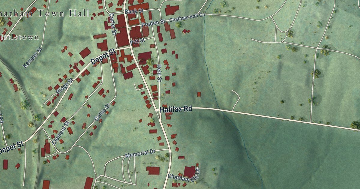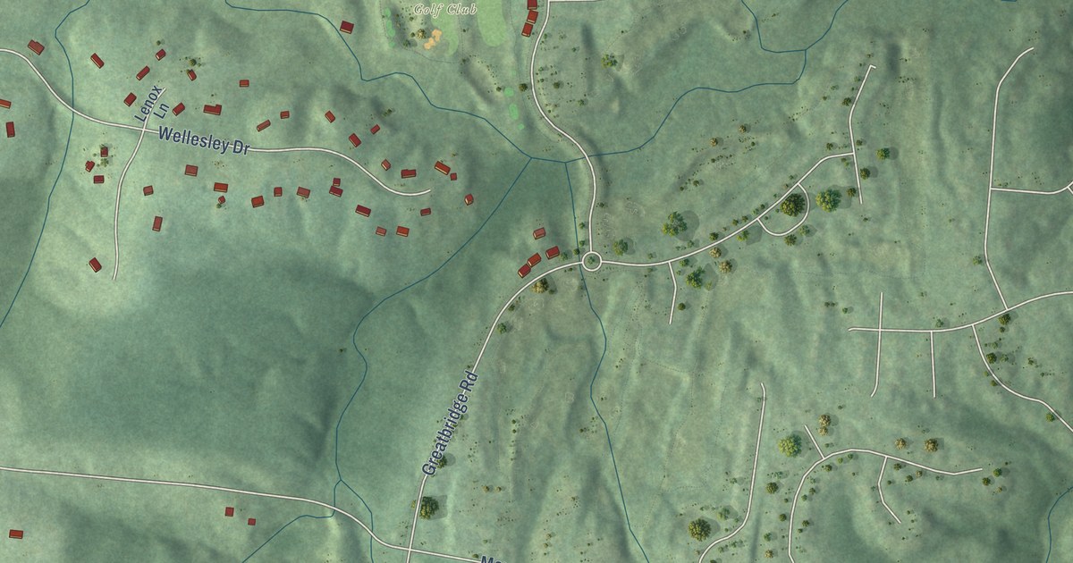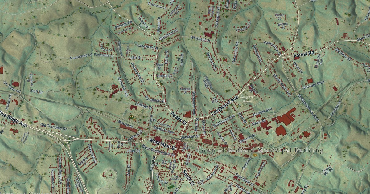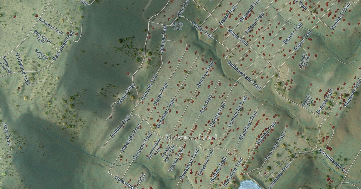
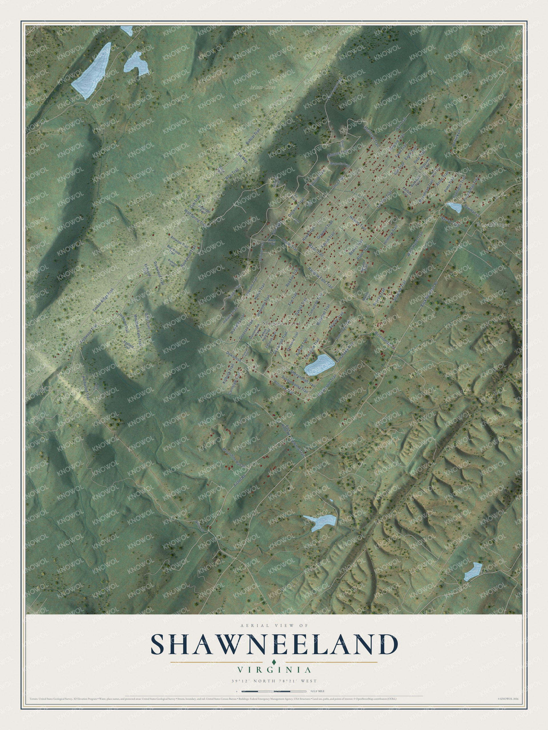
This beautifully detailed map of Shawneeland, Virginia was created in 2026 using aerial imagery combined with modern topographical, census, street and landmark data. It's a modern aerial view of Shawneeland in Frederick County, Virginia, that combines modern data with a vintage aesthetic. The roads feature printed names, and if you look closely you can find your exact house accurately shown in its correct location.
Explore an aerial view of Shawneeland, Virginia
On this map you'll find Rosenberger, Moto Cove, Shawnee Land, Duwamish Trail, Duwamish, Timber Ridge Trail, Powhatan Trail, Dakota Trail, Potomak Trail, Aspen Trail, Rainbow Falls Trail, Shawnee Trail, and more. Each red shape is a building, so zoom in on the preview and look for yours.
Every town has a first chapter, and Shawneeland is no exception. Shawneeland was founded in 1955 by Don Lamborne as a resort, a 7,000-acre development with 3,000 lots at the foot of Great North Mountain in western Frederick County. Over the years it grew from a resort into a place where people lived all year, and in 1987 the Shawneeland Sanitary District was formed to run it. That's from the Handley Regional Library archives.
Shawneeland is a community in Frederick County. The Census Bureau counted 2,248 people here in 2020.
Take a closer look at the Shawneeland map
Names on this map
These names are printed on this map.
Places: Rosenberger, Moto Cove and Shawnee Land.
Streets and roads: Duwamish Trail, Duwamish, Timber Ridge Trail, Powhatan Trail, Dakota Trail, Potomak Trail, Aspen Trail, Rainbow Falls Trail, Shawnee Trail, Hemlock Trail, Falcon Trail, Hickory Trail.
More street names, A to Z
Alloy Lane, Antelope Trail, Apache Trail, Archwood Trail, Arrowhead Trail, Ashwood Trail, Assateague Trail, Astec Trail, Back Mountain Road, Back Ridge Road, Bear Trail, Beaver Trail, Birch Trail, Blackfeet Trail, Bobcat Trail, Bowman Lane, Bow Wood Trail, Brave Heart Trail, Buckskin Trail, Budwood Trail, Buffalo Trail, Caribou Trail, Cherokee Trail, Cheyenne Trail, Chippawa Trail, Cochise Trail, Comanche Trail, Cornstalk Trail, Cub Trail, Darkwood Trail, Deer Trail, Doe Trail, Dogwood Trail, Dove Trail, Eagle Trail, Elk Way, Endwood Trail, Erie Trail, Ettawah Trail, Farwood Trail, Fawn Trail, Fire Tower Trail, Fir Trail, Fishel Road, Flathead Trail, Forked Horn Trail, Gannentaha Trail, Genesee Trail, Geronimo Trail, Gilmore Trail, Gore Trail, Graywolf Trail, Hardwood Trail, Hart Trail, Hawk Trail, Hayfield Trail, Hedrick Lane, Hiawatha Trail, Holly Trail, Huron Trail, Inca Trail, Indiana Trail, Iroquois Trail, Jackwood Trail, Jalapa Trail, Juniper Trail, Killbuck Trail, Laurel Trail, Magnolia Trail, Manito Trail, Maple Trail, Mimosa Trail, Moonshine Run Drive, Mountain Falls Trail, Navajo Trail, Osage Trail, Pine Trail, Pinto Trail, Pocahontas Trail, Poplar Trail, Preston Trail, Red Fox Trail, Rockwood Trail, Rosenberger Lane, Saltlick Trail, Seneca Trail, Shenandoah Trail, Spruce Trail, Susquehanna Trail, Tecumseh Trail, Tom-Tom Trail, Tomahawk Trail, Willow Trail, Witch Hazel Trail, Wolf Spring Trail.
See it on a wall
The Shawneeland map as a framed print. Swipe for more.


Created by KNOWOL in 2026. The buildings are small red shapes, the roads carry their printed names, and shaded relief shows the shape of the land. The title panel reads "AERIAL VIEW OF SHAWNEELAND, VIRGINIA" with 39°12' NORTH 78°21' WEST.
Hang it in the hallway, the office or the cabin, or give it to someone who left Shawneeland and still calls it home. Open the preview and look for a street you know. See sizes and frames for the Shawneeland map.