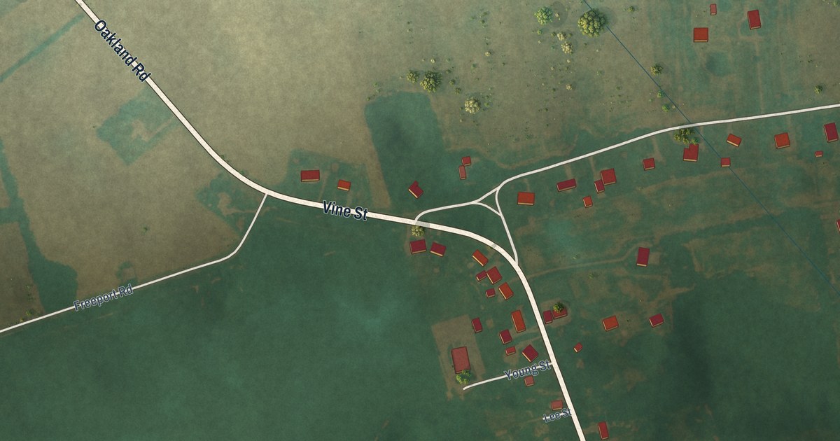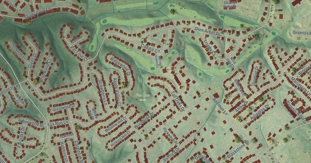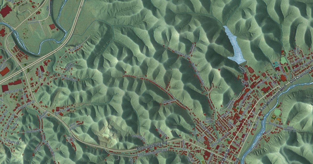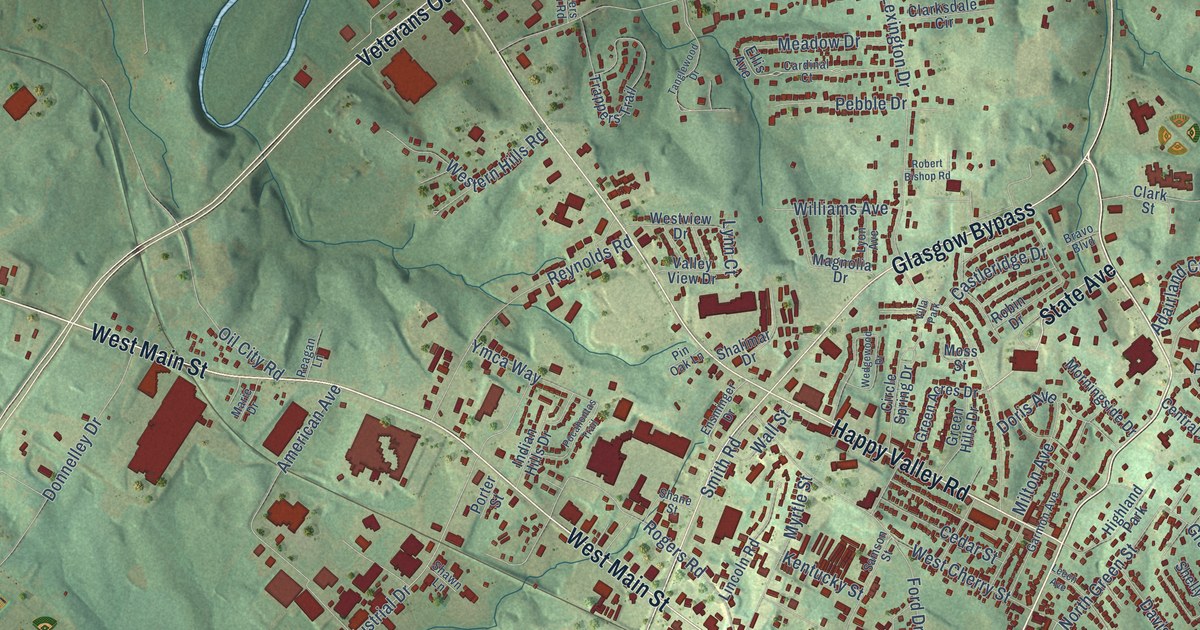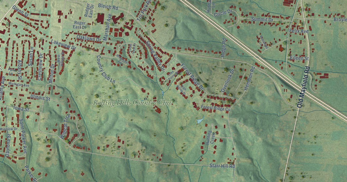
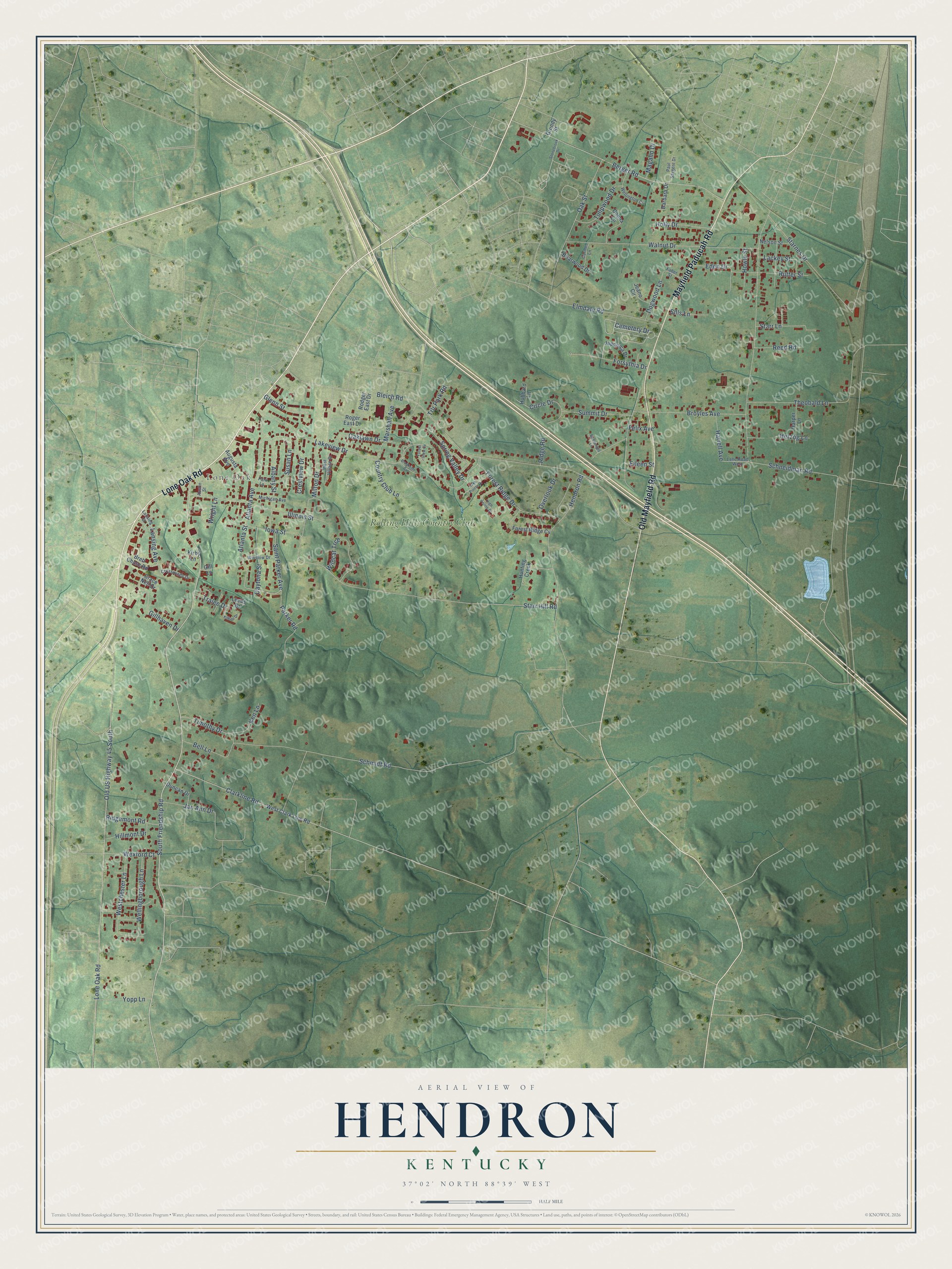
This beautifully detailed map of Hendron, Kentucky was created in 2026 using aerial imagery combined with modern topographical, census, street and landmark data. It’s a one-of-a-kind view of Hendron that combines accurate data with a vintage aesthetic. The map shows every building in its true location, many of the roads carry their names, and the shaded topographic relief shows the shape of the land.
Explore an aerial view of Hendron, Kentucky
On the map you’ll find Lone Oak, Rolling Hills Country Club, and Old US Highway 45 South, along with Lone Oak Road, Mayfield Paducah Road, Old Mayfield Road, Cemetery Drive, South Friendship Road, Lansing Avenue, Bleich Road, Schneidman Road, Schmidt Road, and more. Hendron sits about 2 miles east of Massac, 3 miles south of Paducah and 4 miles west of Farley. If you look closely you can even find your house accurately drawn in its correct location. Zoom in on the preview to look for yours.
Take a closer look at the Hendron map
Names on this map
These names are printed on this map.
Places: Lone Oak and Rolling Hills Country Club.
Streets and roads: Lone Oak Road, Mayfield Paducah Road, Old Mayfield Road, Cemetery Drive, South Friendship Road, Lansing Avenue, Bleich Road, Schneidman Road, Old US Highway 45 South, Schmidt Road, Lakeview Drive, Starr Hill Road.
More street names, A to Z
Albany Street, Atlanta Avenue, Atlanta Street, Augusta Avenue, Austin Street, Barbara Drive, Bell Lane, Berger Road, Boatwright Lane, Brett Chase Road, Briarwood Drive, Brookside Cv, Broyles Avenue, Carmel Lane, Circle Drive, Clarkline Road, Country Club Lane, Crestview Drive, Crosswinds Drive, Daytona Street, Dogwood Lane, Donna Lane, Duncan Drive, Eden Drive, Eileen Street, Elmdale Road, Faber Street, Felix Avenue, Forest Ridge Cv, Forest Ridge Drive, Forest View Cv, Forsythia Drive, Gillhaven Drive, Gill Lane, Glenn Street, Grace Nell Drive, Grundy Street, Harper Lane, Harrell Avenue, Hendron Road, Herzog Lane, High Pointe Drive, Hillmont Drive, Holly Drive, Howle Street, Hubbard Lane, Hunting Creek, Illinois Street, Iowa Street, Jan Ann Drive, Japonica Drive, Jeano Circle, Ken Lane, Kilkee Drive, Kirby Lane, Lackey Street, Lake Pointe Drive, Lane Road West, Lansing Court, Leeds Drive, Magalin Drive, Marshall Avenue, Michigan Avenue, Milton Drive, Nelson Street, Oaklawn Drive, Oak Street, Overlook Drive, Parker Road, Park Lane, Paul Sargent Drive, Reed Road, Ridgemont Road, Ridge Road, Rodger East Drive, Roger East Drive, Rutter Street, Saint Parker Avenue, Sills Lane, Spring Valley Drive, Starnes Drive, Starr Lane, Stonebrook Drive, Summit Drive, Susan Lane, Theobald Lane, Timothy Drive, Tralee Drive, Trlr Park Road, Tulipwood Drive, Walnut Drive, Wellingborough Lane, Wellington Circle, Westchester Lane, West Clark Line Road, West Village Drive, Wexford Court, Wildcat Trce, Winslow Drive, Wright Lane, Yopp Lane.
See it on a wall
The Hendron map as a framed print. Swipe for more.


This beautifully detailed map of Hendron makes an attractive addition to your office, library, or den, and it can even be used to teach children the geography and history of the area. It also makes a great gift for someone who left Hendron and still calls it home. When you’re done exploring, click here to get your copy of the Hendron map.