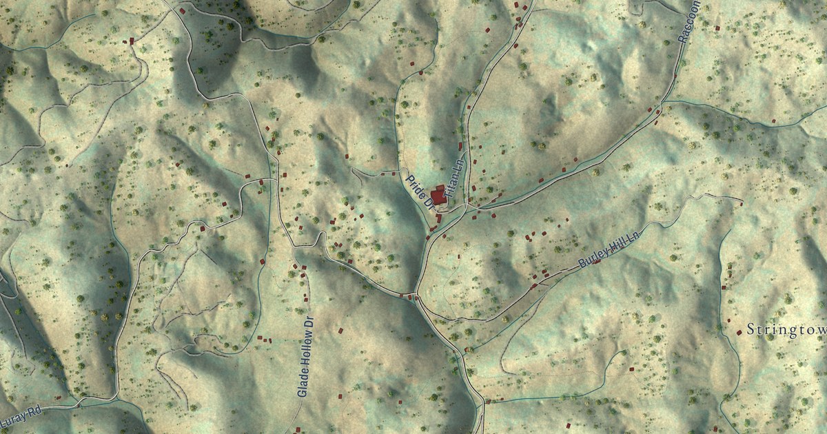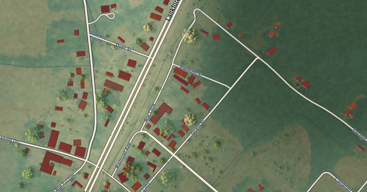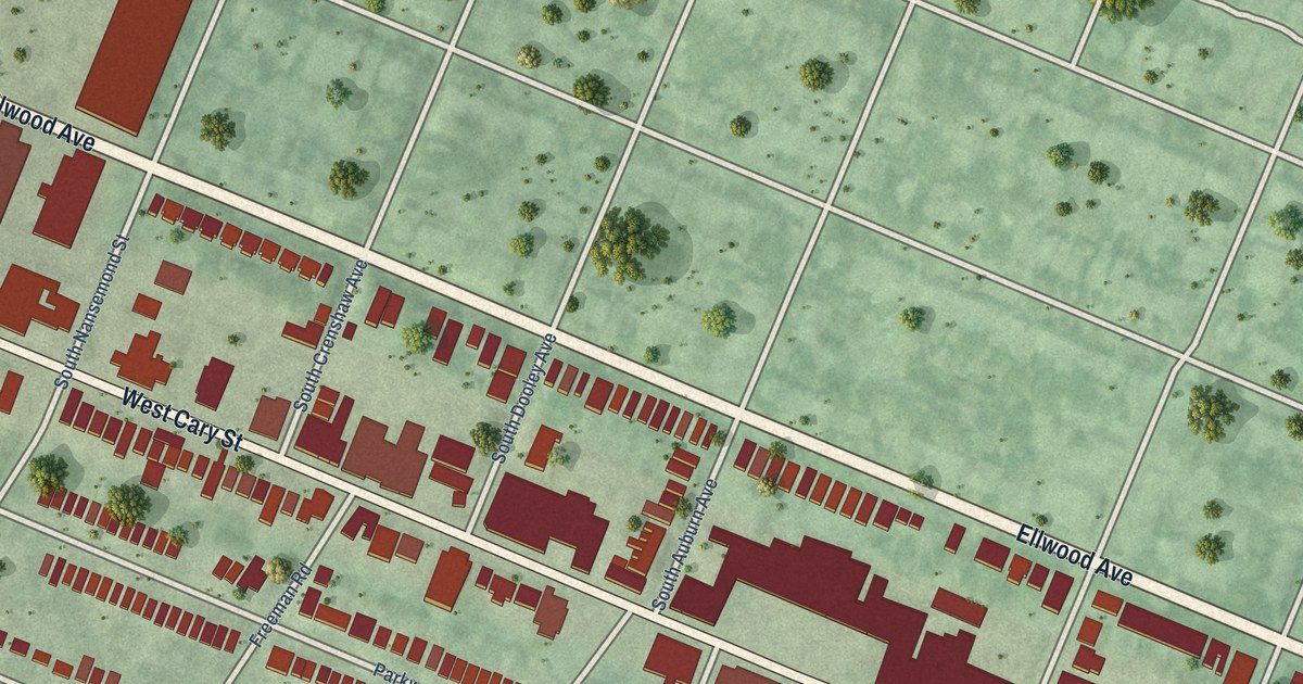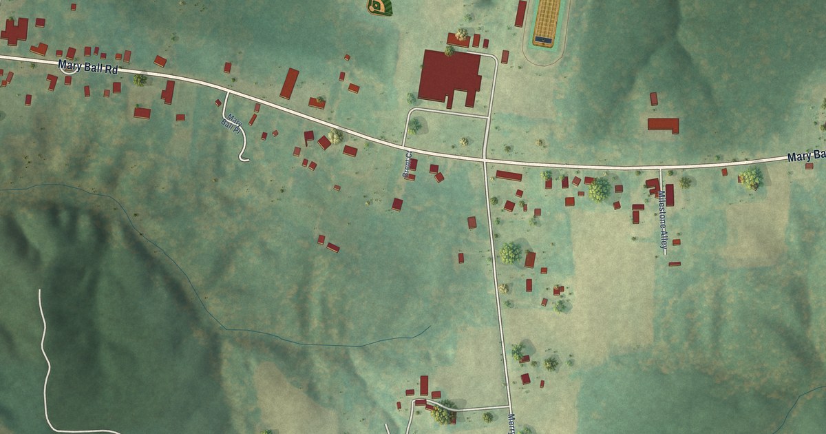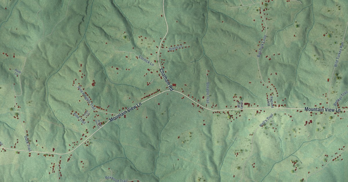
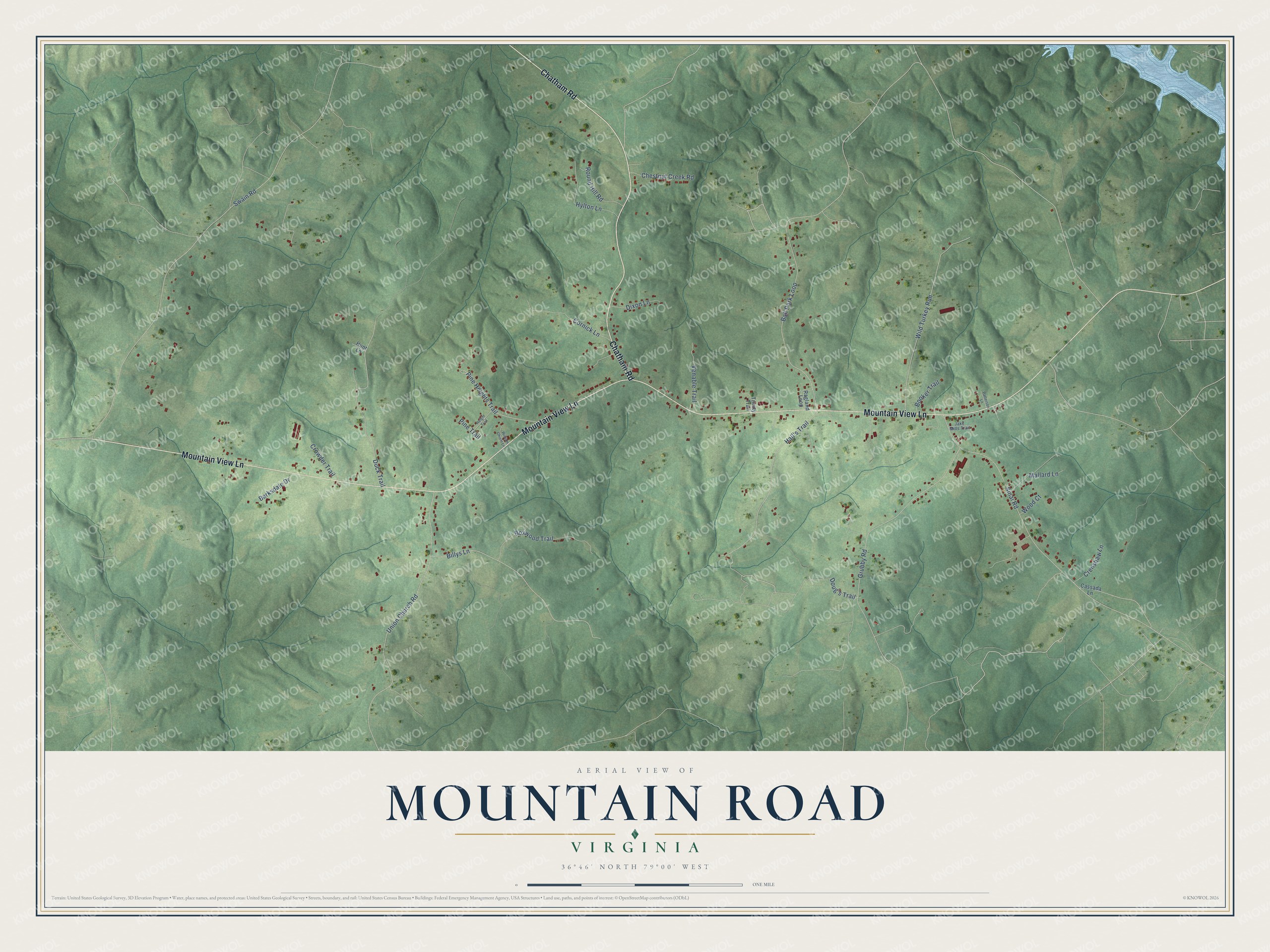
This beautifully detailed map of Mountain Road, Virginia was created in 2026 using aerial imagery combined with modern topographical, census, street and landmark data. It’s a one-of-a-kind view of Mountain Road that combines accurate data with a vintage aesthetic. The map shows every building in its true location, many of the roads carry their names, and the shaded topographic relief shows the shape of the land.
Explore an aerial view of Mountain Road, Virginia
On the map you’ll find Wild Turkey Run, along with Mountain View Lane, Chatham Road, Ball Park Loop, Swain Road, Grubby Road, Sinai Road, Union Church Road, Hall’s Trail, Billys Lane, Duck Trail, Boxwood Trail, and more. If you look closely you can even find your house accurately drawn in its correct location. Zoom in on the preview to look for yours.
Did You Know?
Mountain Road School No. 1 was built about 1919 for Black students of the Halifax community. The old school is now the L.E. Coleman African American Museum, named in honor of the Rev. Lee Ernest Coleman, and it is one of 53 sites on the Civil Rights in Education Heritage Trail. That's from the Civil Rights in Education Heritage Trail.
Take a closer look at the Mountain Road map
Names on this map
These names are printed on this map.
Streets and roads: Mountain View Lane, Chatham Road, Ball Park Loop, Swain Road, Grubby Road, Sinai Road, Union Church Road, Wild Turkey Run, Hall's Trail, Billys Lane, Duck Trail, Boxwood Trail.
More street names, A to Z
Barksdale Drive, Booker Trail, Cassada Lane, Chestnut Creek Road, Cornick Lane, Crenshaw Lane, Crowder Trail, Dixon Lane, Doug's Trail, Height Trail, Hunt Lane, Hylton Lane, Jake Mills Trail, Mallard Lane, Patterson Lane, Pine Heights Trail, Pine Trail, Ragland Loop, Round Hill Road, Trinity Trail, Venable Trail, William Chism Lane, Wood Court.
See it on a wall
The Mountain Road map as a framed print. Swipe for more.


This beautifully detailed map of Mountain Road makes an attractive addition to your office, library, or den, and it can even be used to teach children the geography and history of the area. It also makes a great gift for anyone who grew up in Mountain Road or moved away. When you’re done exploring, click here to get your copy of the Mountain Road map.