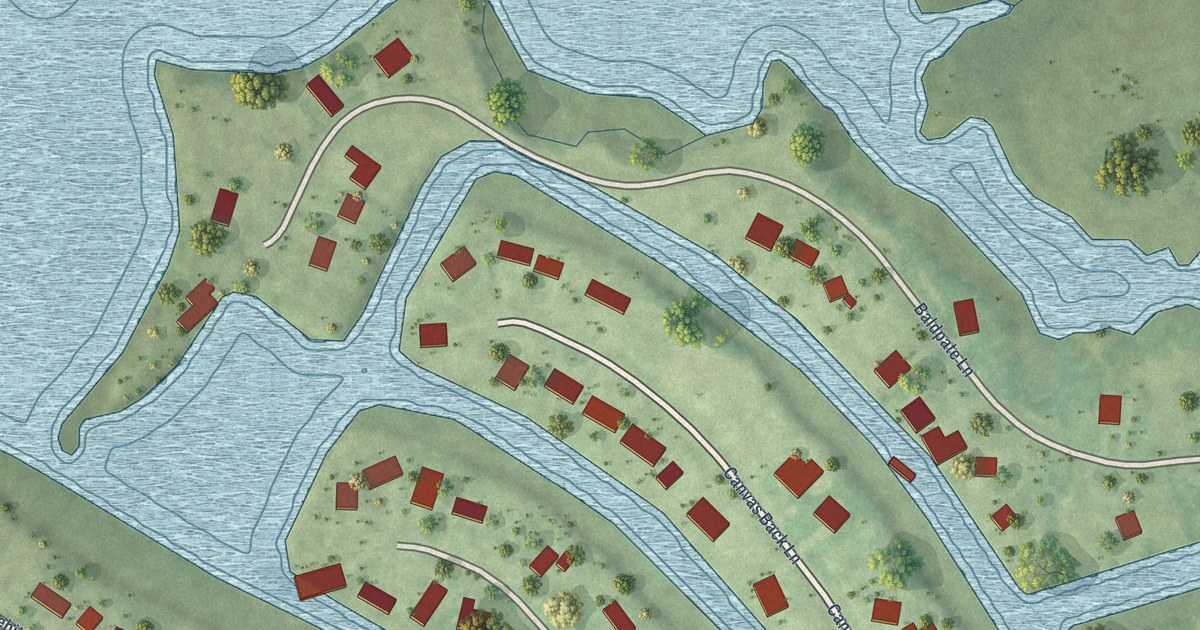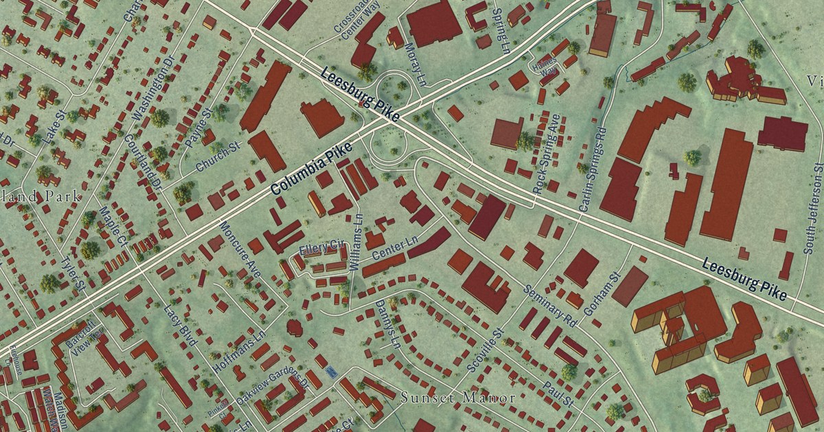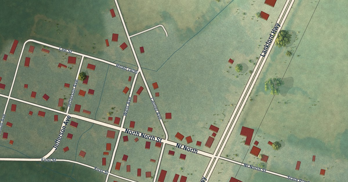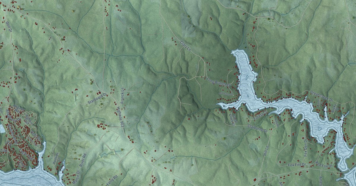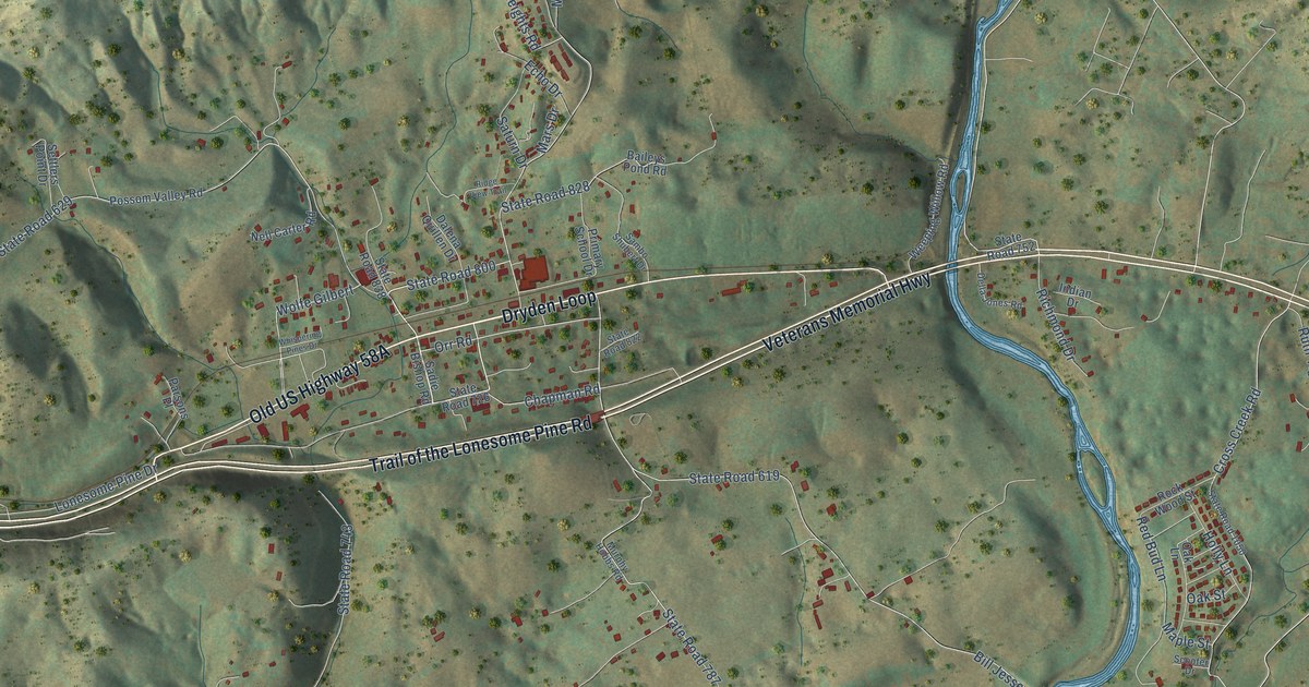
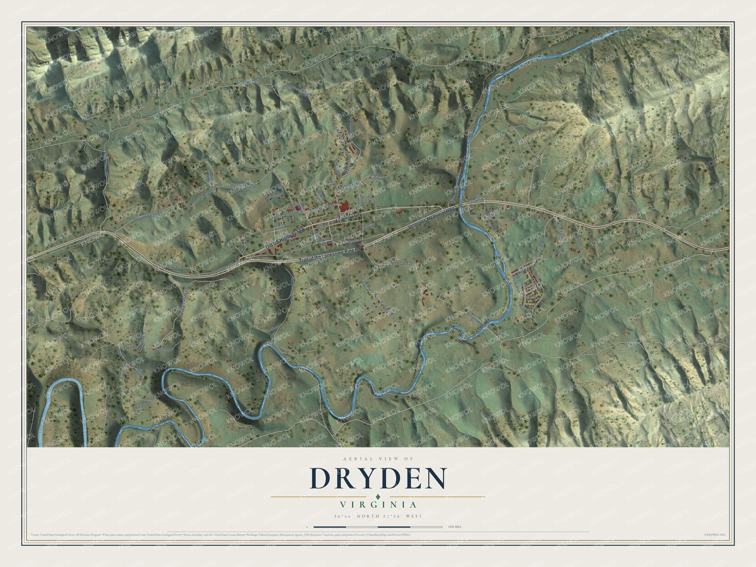
This beautifully detailed map of Dryden, Virginia was created in 2026 using aerial imagery combined with modern topographical, census, street and landmark data. It's a modern aerial view of Dryden in Lee County, Virginia, that combines modern data with a vintage aesthetic. The roads feature printed names, and if you look closely you can find your exact house accurately shown in its correct location.
Explore an aerial view of Dryden, Virginia
On this map you'll find Dryden Loop, Trail of the Lonesome Pine Road, Veterans Memorial Highway, Old US Highway 58A, Possum Valley Road, State Road 743, State Road 767, Ramey Road, Cave Springs Road, School House Ridge Road, State Road 630, State Road 787, and more. Each red shape is a building, so zoom in on the preview and look for yours.
Dryden is a community in Lee County. The Census Bureau counted 986 people here in 2020. Dryden sits about 5 miles north of Stickleyville, 5 miles east of Pennington Gap and 6 miles south of Keokee. The map prints the town name in its title panel, with the coordinates below it.
Take a closer look at the Dryden map
Names on this map
These names are printed on this map.
Streets and roads: Dryden Loop, Trail of the Lonesome Pine Road, Veterans Memorial Highway, Possum Valley Road, State Road 743, State Road 767, Ramey Road, Cave Springs Road, School House Ridge Road, State Road 630, State Road 787, State Road 629.
More street names, A to Z
Baileys Pond Road, Big Hill Road, Bill Jessee Road, Bob Cox Drive, Chapman Road, Cross Creek Road, Dalena Quillen Drive, Della Jones Road, Echo Drive, Holly Lane, Indian Drive, Legacy Drive, Lewis Heights Road, Lonesome Pine Drive, Maple Street, Marion Drive, Mars Drive, Murphy Hobbs Road, Nell Carter Road, Ninas Drive, Oak Lane, Oak Street, Orb Cox Road, Orr Road, Parsons Place, Phillips Road, Possom Valley Road, Primary School Drive, Red Bud Lane, Red Cedar Drive, Richmond Drive, Ridge View Trail, Rock Wood Street, Ruth Tignor Drive, Sadie Bishop Road, Sambo Shubert Drive, Saturn Drive, Scooter Drive, Settlers Point Drive, Sister Field Drive, State Road 619, State Road 726, State Road 752, State Road 800, State Road 822, State Road 828, State Road 838, State Road 861, State Road 1050, Weeping Willow Road, Whispering Pines Drive, Wolfe Gilbert.
See it on a wall
The Dryden map as a framed print. Swipe for more.


Created by KNOWOL in 2026. The buildings are small red shapes, the roads carry their printed names, and shaded relief shows the shape of the land. The title panel reads "AERIAL VIEW OF DRYDEN, VIRGINIA" with 36°46' NORTH 82°56' WEST.
Hang it in the hallway, the office or the cabin, or give it to someone who left Dryden and still calls it home. Open the preview and look for a street you know. See sizes and frames for the Dryden map.