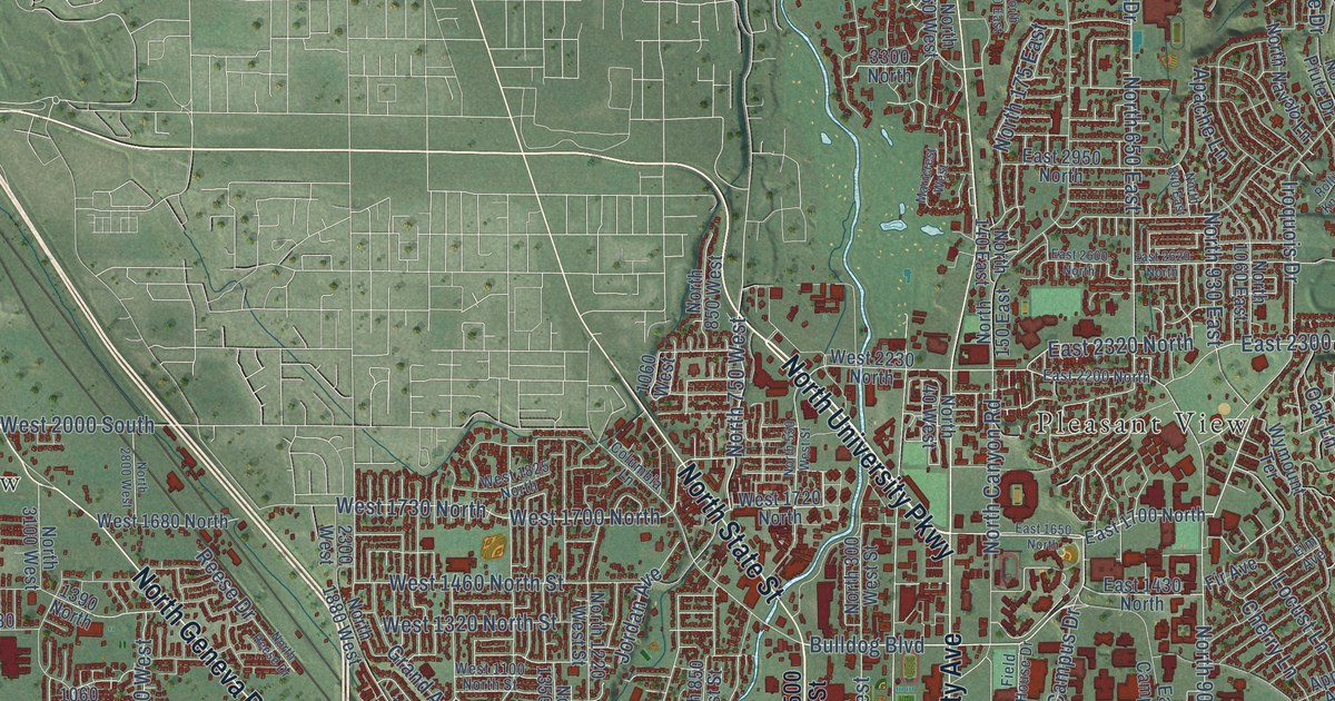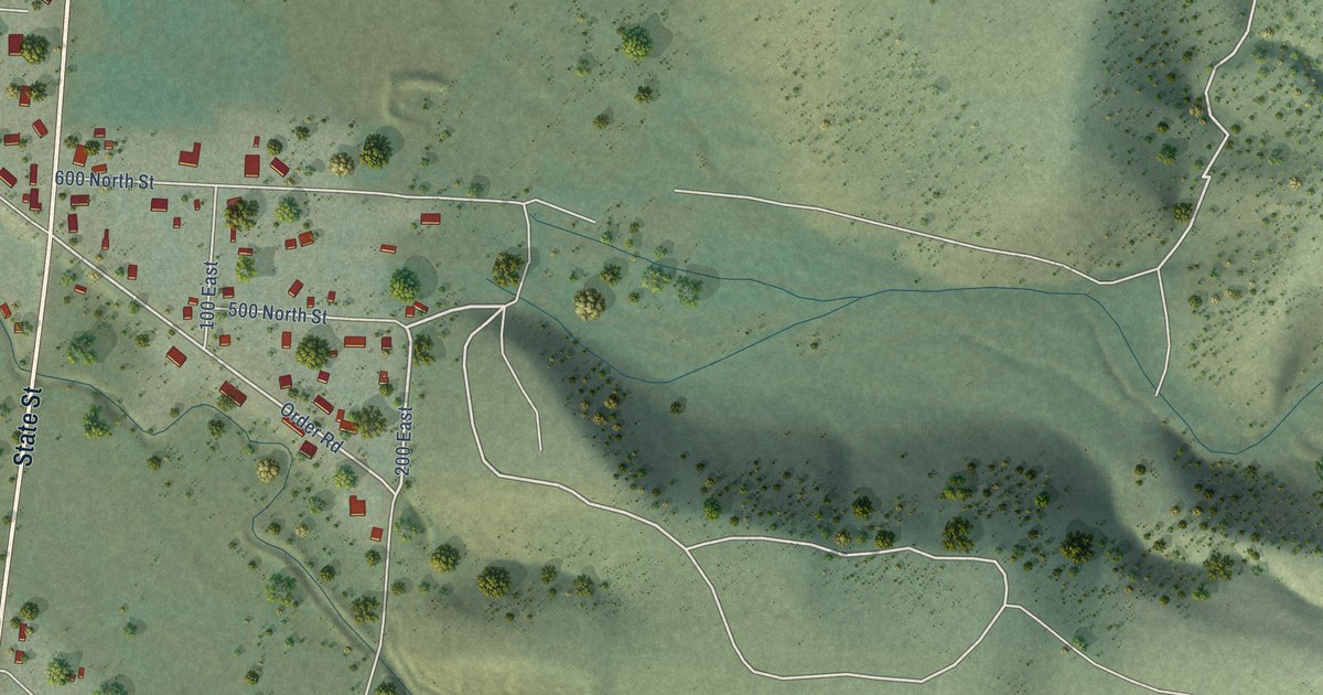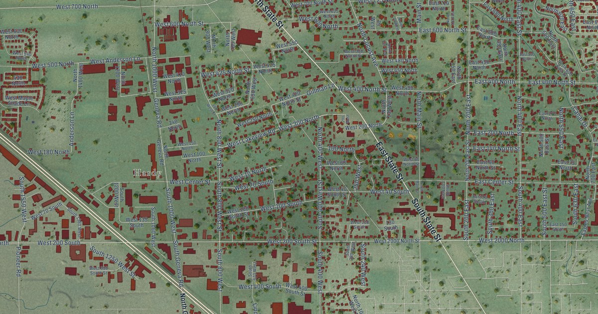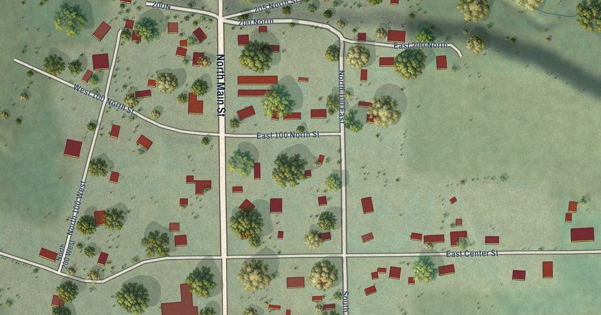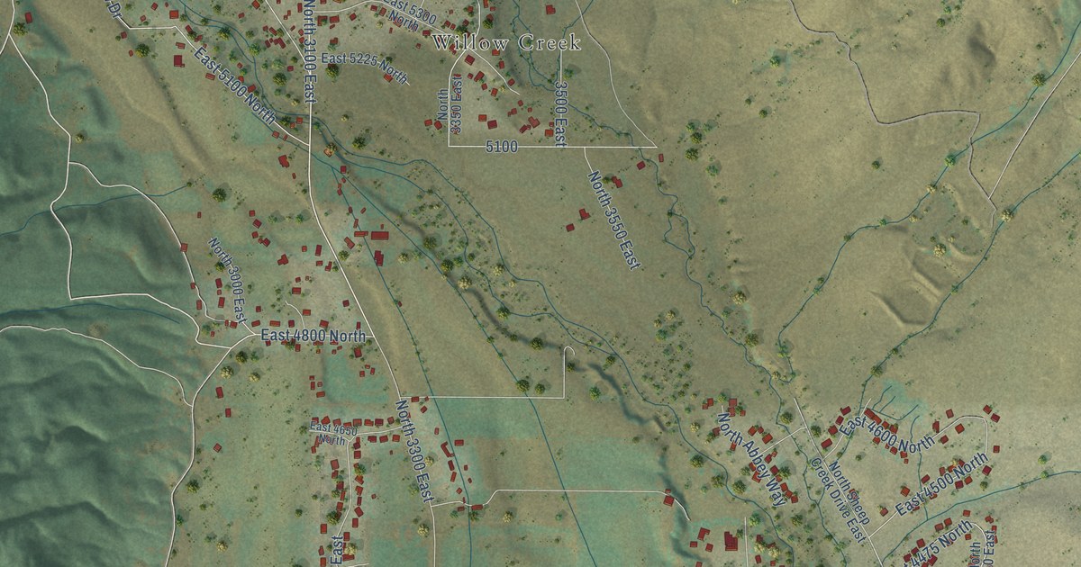
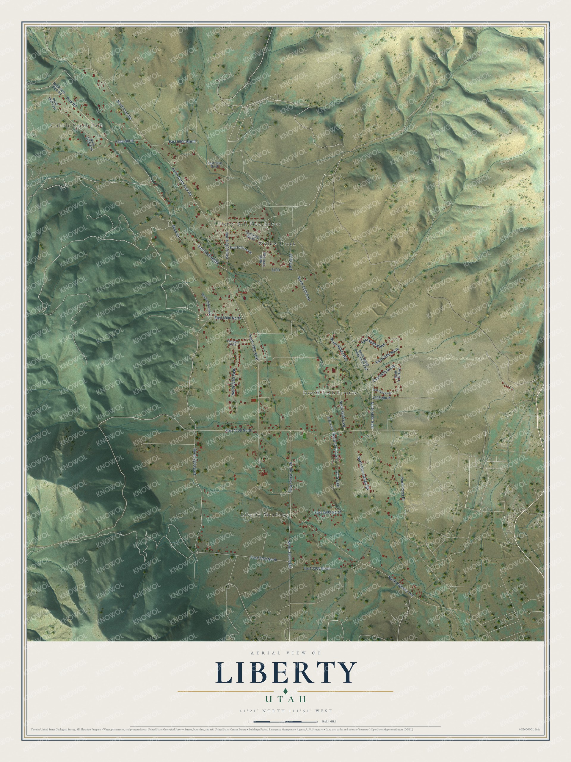
This beautifully detailed map of Liberty, Utah was created in 2026 using aerial imagery combined with modern topographical, census, street and landmark data. It's a modern aerial view of Liberty in Weber County, Utah, that combines modern data with a vintage aesthetic. The roads feature printed names, and if you look closely you can find your exact house accurately shown in its correct location.
Explore an aerial view of Liberty, Utah
On this map you'll find Cobble Creek Park, Uinta-Wasatch-Cache National Forest, Liberty Meadows, North Fork Estates, Willow Creek, Liberty Bell Ranchettes, East 4800 North, North 3100 East, Nordic Valley Way, North 2900 East, North 3500 East, East 4500 North, and more. Each red shape is a building, so zoom in on the preview and look for yours.
Liberty has a story worth telling. Liberty was laid out in 1892 as an outgrowth of Eden, and several stories explain its name. In one, John Freeman, after trouble with range cattle, told his North Ogden neighbors Fisher and Morris that since people seemed to be taking a lot of liberties with property, Liberty was an appropriate name. Another story ties the name to the jail at Liberty, Missouri, where Joseph Smith was once held. That's from the Utah Place Names book by John W. Van Cott.
Liberty is a community in Weber County. The Census Bureau counted 1,522 people here in 2020.
Take a closer look at the Liberty map
Names on this map
These names are printed on this map.
Places: Cobble Creek Park, Uinta-Wasatch-Cache National Forest, Liberty Meadows, North Fork Estates, Willow Creek and Liberty Bell Ranchettes.
Streets and roads: East 4800 North, North 3100 East, Nordic Valley Way, North 2900 East, North 3500 East, East 4500 North, North 4000 East, Park Road, North 3300 East, North Fork Road, North North Fork Road, North Highway 162.
More street names, A to Z
3500 East, 3750 East, 3775 East, 4325 North, 5950 North, East 3300 North, East 3350 North, East 3600 North, East 4100 North, East 4325 North, East 4475 North, East 4600 North, East 4650 North, East 5100 North, East 5225 North, East 5300 North, East 5750 North, East 5900 North, North 1950 East, North 2250 East, North 3000 East, North 3150 East, North 3350 East, North 3550 East, North 3775 East, North 3800 East, North 4150 East, North Abbey Way, North Fork Park Road, North River Drive, North Riversedge Road, North Sheep Creek Drive East, Shaw Drive.
See it on a wall
The Liberty map as a framed print. Swipe for more.


Created by KNOWOL in 2026. The buildings are small red shapes, the roads carry their printed names, and shaded relief shows the shape of the land. The title panel reads "AERIAL VIEW OF LIBERTY, UTAH" with 41°21' NORTH 111°51' WEST.
It looks right in a kitchen, an office or a den, and it's a gift for anyone who grew up in Liberty or moved away. Open the preview and find your street. See sizes and frames for the Liberty map.