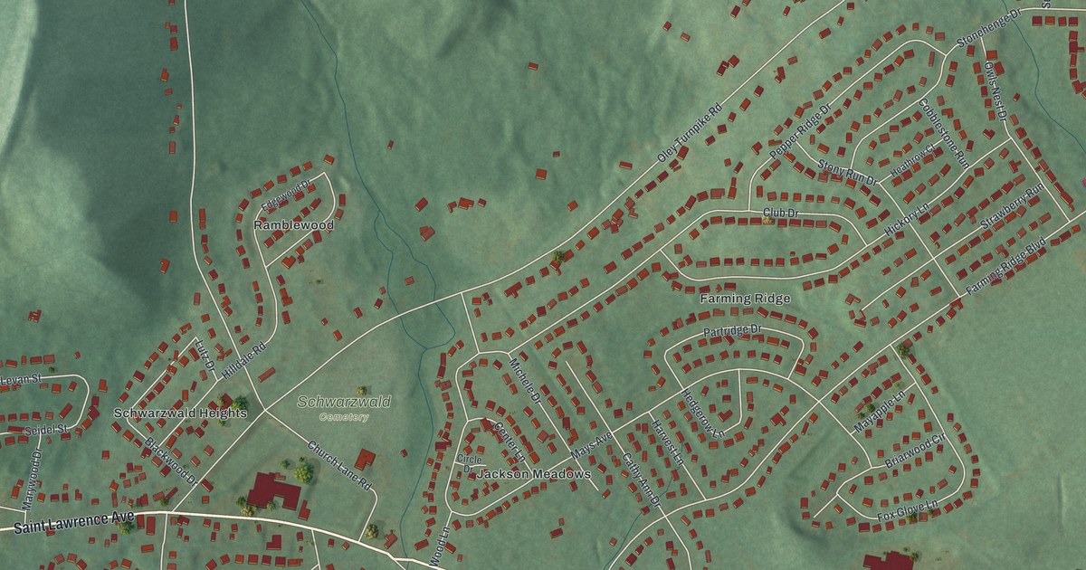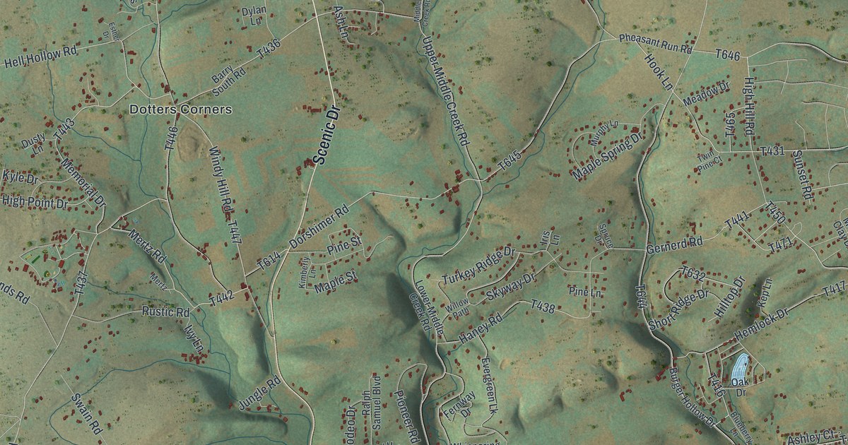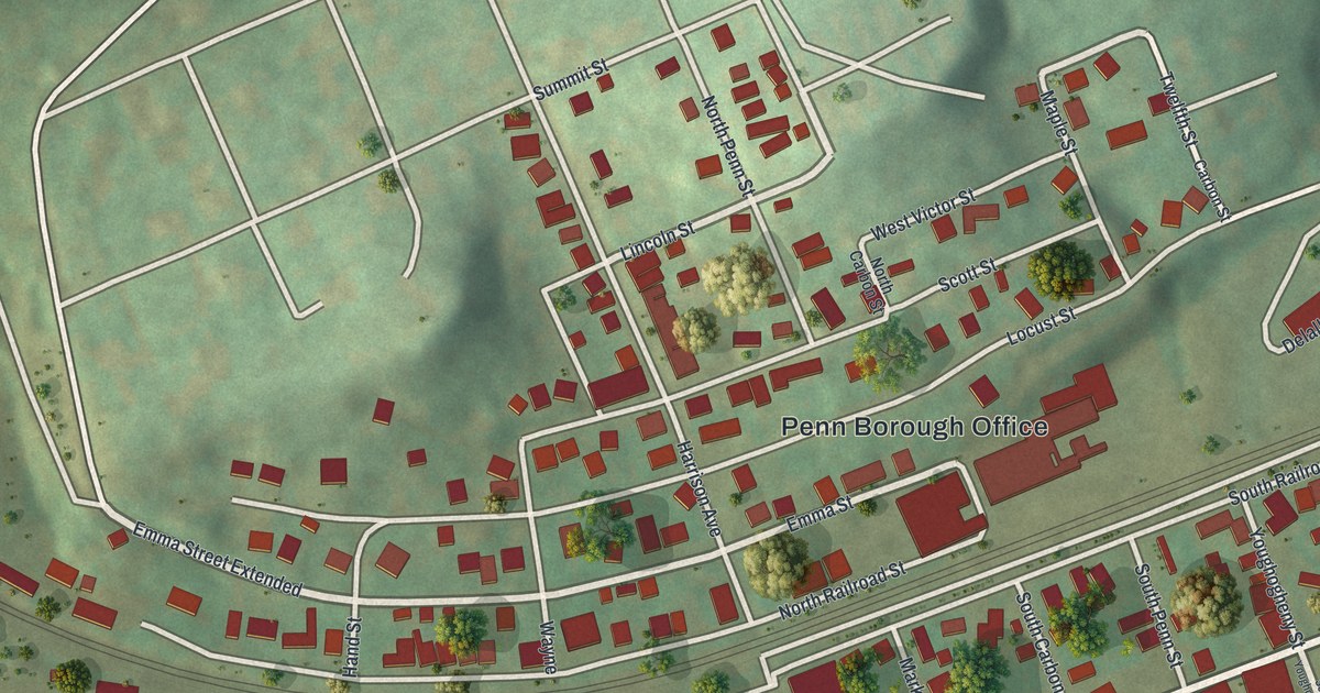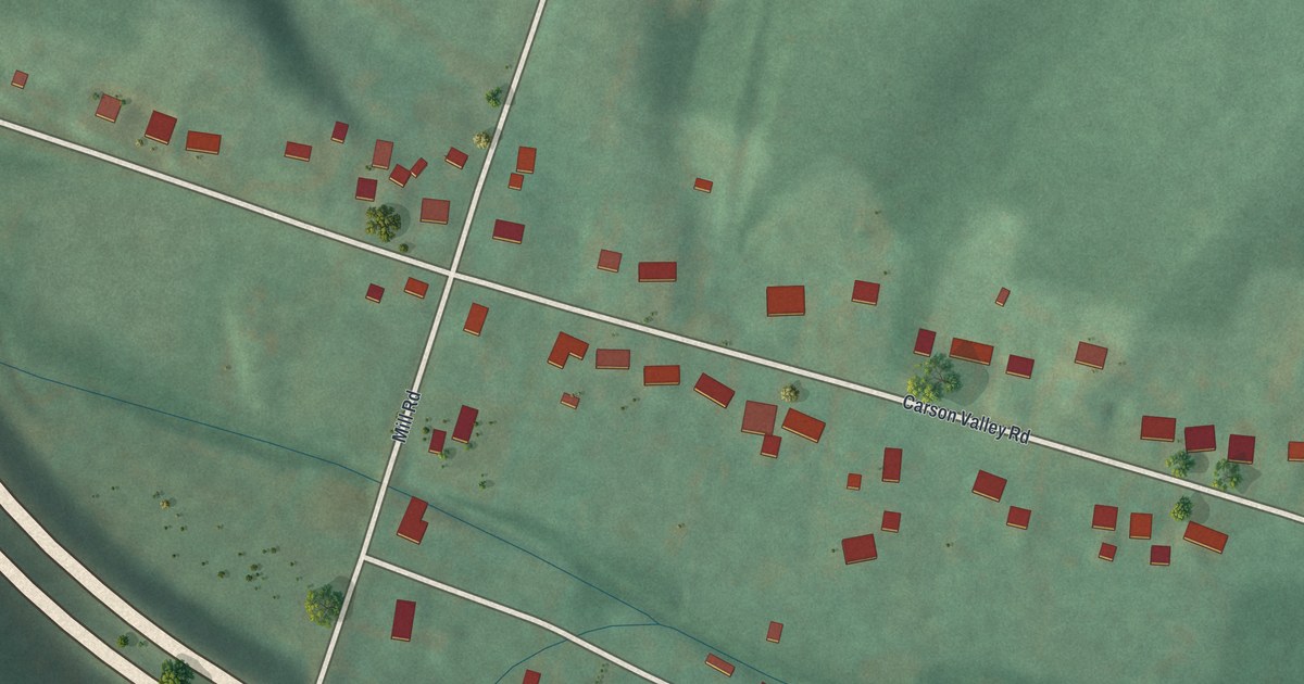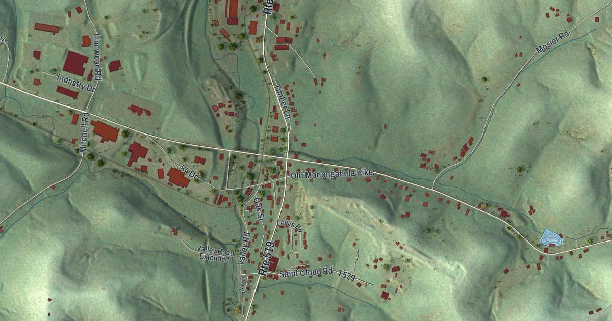
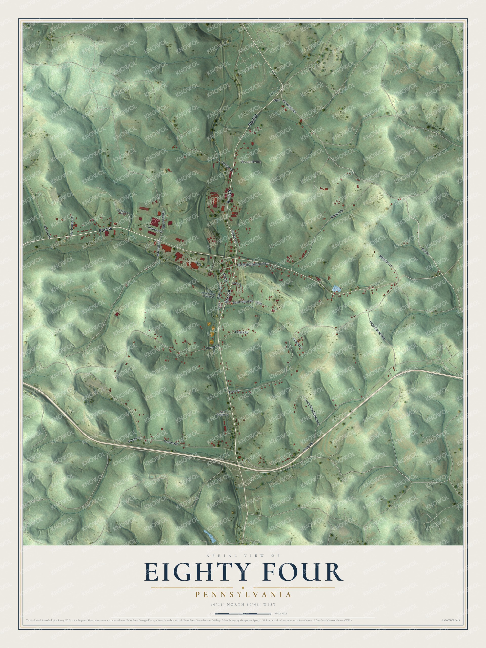
This beautifully detailed map of Eighty Four, Pennsylvania was created in 2026 using aerial imagery combined with modern topographical, census, street and landmark data. It's a modern aerial view of Eighty Four in Washington County, Pennsylvania, that combines modern data with a vintage aesthetic. The roads feature printed names, and if you look closely you can find your exact house accurately shown in its correct location.
Explore an aerial view of Eighty Four, Pennsylvania
On this map you'll find Wylandville, Sr1055, Brownlee Road, 84 Drive, Lively Road, Rankin Road, Azzo Road, Roupe Road, Mitchell Road, Mosier Road, Hoge Summit Road, Christy Road, and more. Each red shape is a building, so zoom in on the preview and look for yours.
Here is a piece of Eighty Four history. Eighty Four was probably named for the year its post office began, 1884, though it may instead have been named for mile marker 84 on the nearest railroad. Today Eighty Four is best known as the birthplace and headquarters of 84 Lumber. That's from the WQED public television series.
Eighty Four is a community in Washington County. The Census Bureau counted 645 people here in 2020.
Take a closer look at the Eighty Four map
Names on this map
These names are printed on this map.
Places: Wylandville.
Streets and roads: Route 136, Route 519, Sr1055, Brownlee Road, 84 Drive, Lively Road, Rankin Road, Azzo Road, Roupe Road, Mitchell Road, Mosier Road, Hoge Summit Road.
More street names, A to Z
Christy Road, Emery Road, Golf Center Drive, Hot House Lane, Industry Drive, Kotula Lane, Lewis Road, Linnwood Road, Lively Road Extended, Morrison Lane, Munce Road, Nichols Lane, Oak Street, Old Monongahela Pike, Saint Cloud Road, Springhouse Farm Lane, Timber Lane, Valley Road, Valley Road Extended, Wilson Road.
See it on a wall
The Eighty Four map as a framed print. Swipe for more.


Created by KNOWOL in 2026. The buildings are small red shapes, the roads carry their printed names, and shaded relief shows the shape of the land. The title panel reads "AERIAL VIEW OF EIGHTY FOUR, PENNSYLVANIA" with 40°11' NORTH 80°08' WEST.
It suits a den, a classroom or a front hall, and it makes a gift for anyone with Eighty Four roots. Open the preview and find the block you know. See sizes and frames for the Eighty Four map.