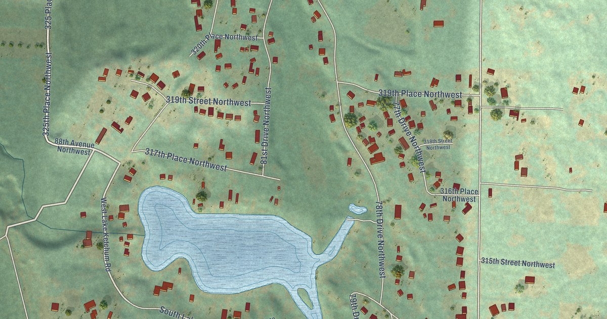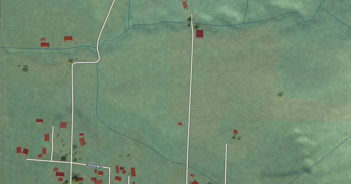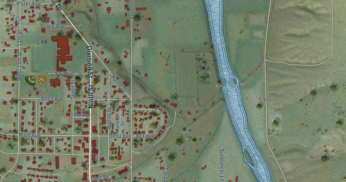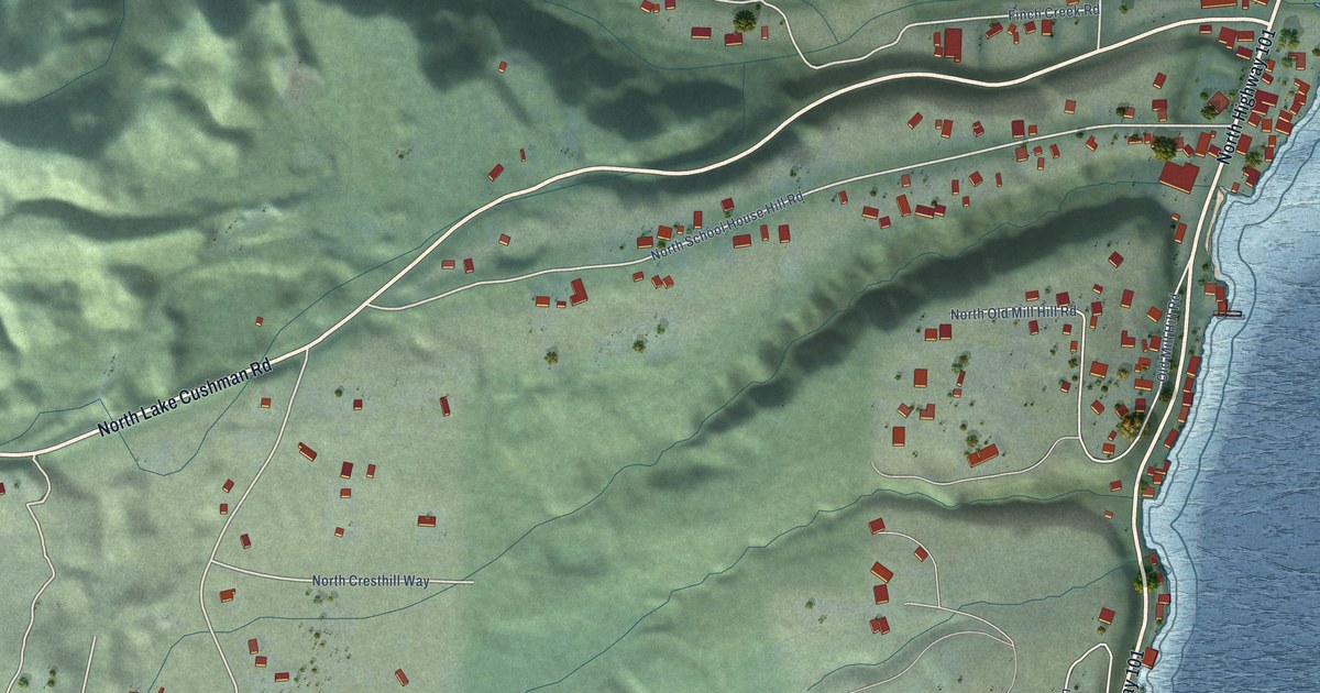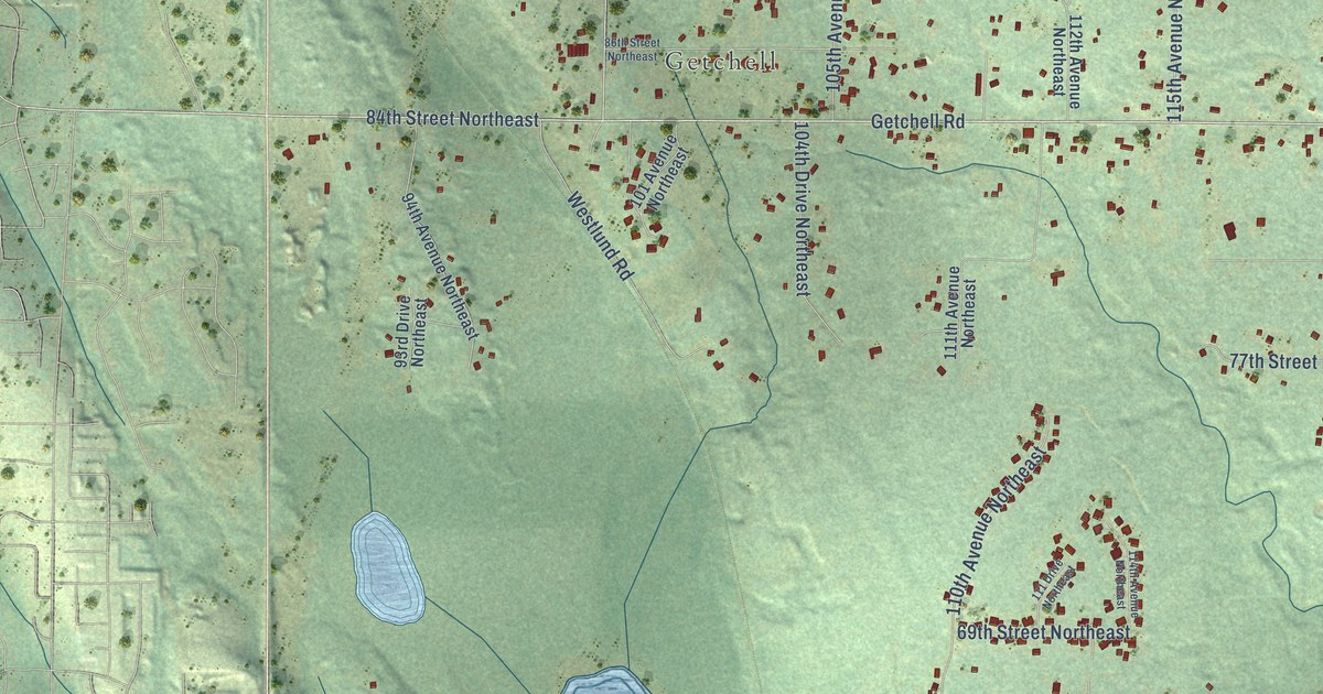
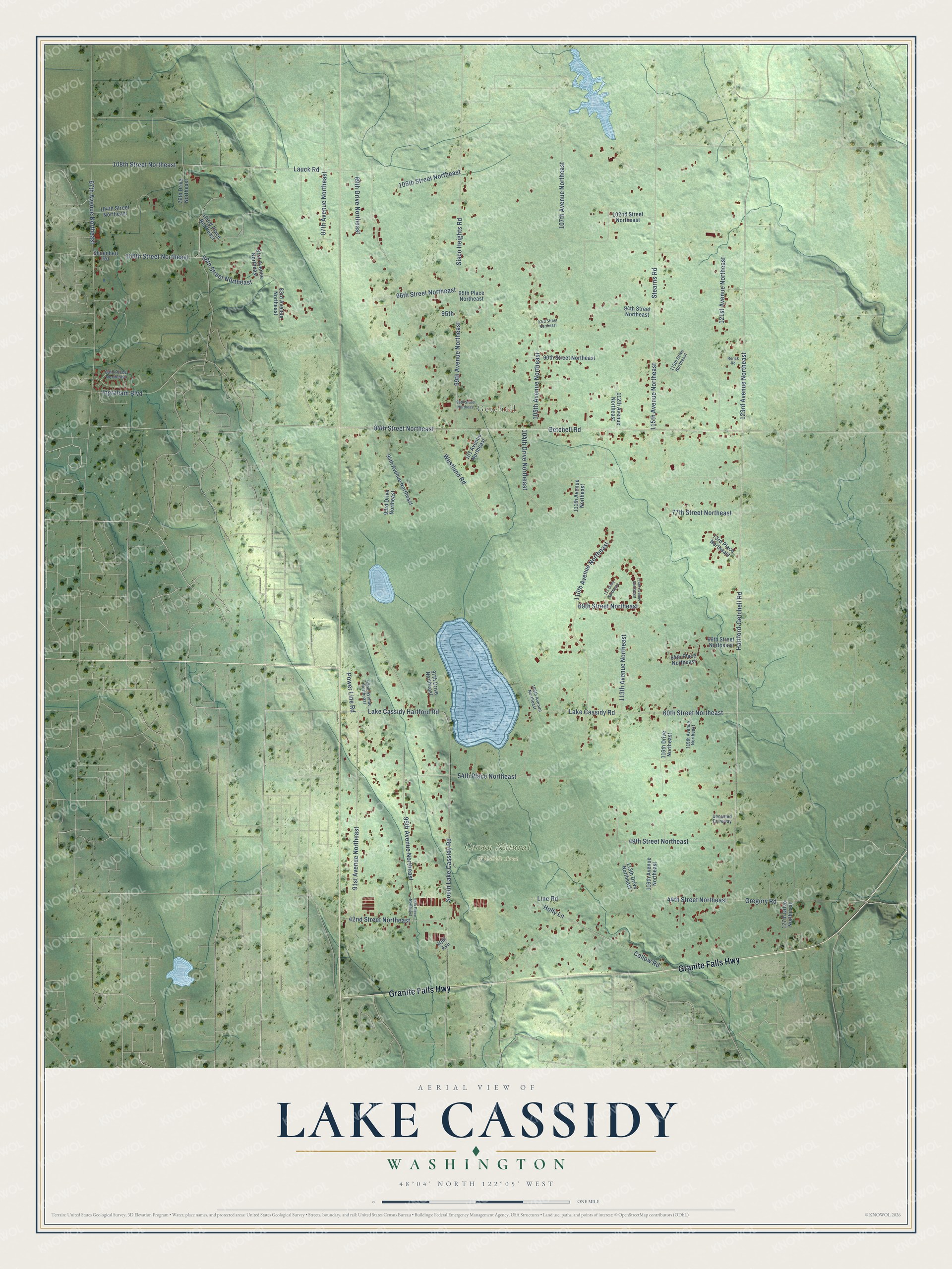
This beautifully detailed map of Lake Cassidy, Washington was created in 2026 using aerial imagery combined with modern topographical, census, street and landmark data. It's a modern aerial view of Lake Cassidy in Snohomish County, Washington, that combines modern data with a vintage aesthetic. The roads feature printed names, and if you look closely you can find your exact house accurately shown in its correct location.
Explore an aerial view of Lake Cassidy, Washington
On this map you'll find Getchell, Corson Natural Wildlife Area, Granite Falls Highway, Getchell Road, Hartford-Getchell Road, 44th Street Northeast, Callow Road, Ingraham Boulevard, 123rd Avenue Northeast, 99th Avenue Northeast, 84th Street Northeast, 108th Street Northeast, and more. Each red shape is a building, so zoom in on the preview and look for yours.
Here is a piece of Lake Cassidy history. Getchell, a town east of Marysville in Snohomish County, was platted by L. W. Getchell about 1894, and his own name was given to the town. That's from the Washington Historical Quarterly.
Lake Cassidy is a community in Snohomish County. The Census Bureau counted 3,757 people here in 2020.
Take a closer look at the Lake Cassidy map
Names on this map
These names are printed on this map.
Places: Getchell and Corson Natural Wildlife Area.
Streets and roads: Granite Falls Highway, Getchell Road, Hartford-Getchell Road, 44th Street Northeast, Callow Road, Ingraham Boulevard, 123rd Avenue Northeast, 99th Avenue Northeast, 84th Street Northeast, 108th Street Northeast, 115th Avenue Northeast, 91st Avenue Northeast.
More street names, A to Z
42nd Street Northeast, 49th Street Northeast, 54th Place Northeast, 60th Street Northeast, 64th Place Northeast, 66th Street Northeast, 67th Avenue Northeast, 69th Street Northeast, 73rd Place Northeast, 76th Drive Northeast, 77th Street Northeast, 81st Avenue Northeast, 83rd Avenue Northeast, 86th Street Northeast, 87th Avenue Northeast, 89th Drive Northeast, 89th Place Northeast, 90th Avenue, 90th Street Northeast, 92nd Avenue Northeast, 93rd Drive Northeast, 93rd Street Northeast, 94th Avenue Northeast, 94th Street Northeast, 95th, 95th Avenue Northeast, 95th Place Northeast, 96th Place Northeast, 96th Street Northeast, 97th Drive Northeast, 98th Street Northeast, 100th Street Northeast, 101 Avenue Northeast, 102nd Street Northeast, 103rd Place Northeast, 104th Drive Northeast, 104th Street Northeast, 105th Avenue Northeast, 106th Avenue Northeast, 106th Street Northeast, 107th Avenue Northeast, 110th Avenue Northeast, 111 Drive Northeast, 111th Avenue Northeast, 112th Avenue Northeast, 113th Avenue Northeast, 113th Drive Northeast, 114th Avenue Northeast, 115th Drive Northeast, 116th Avenue Northeast, 116th Drive Northeast, 119th Avenue Northeast, 121st Avenue Northeast, 127th Drive Northeast, Gregory Road, Holly Lane, Lake Cassidy Hartford Road, Lake Cassidy Road, Lauck Road, Line Road, Power Line Road, Rorick Road, Shoenheit Road, Sisco Heights Road, South Lake Cassidy Road, Stearns Road, Unnamed Driveway, Westlund Road.
See it on a wall
The Lake Cassidy map as a framed print. Swipe for more.


Created by KNOWOL in 2026. The buildings are small red shapes, the roads carry their printed names, and shaded relief shows the shape of the land. The title panel reads "AERIAL VIEW OF LAKE CASSIDY, WASHINGTON" with 48°04' NORTH 122°05' WEST.
It suits a den, a classroom or a front hall, and it makes a gift for anyone with Lake Cassidy roots. Open the preview and find the block you know. See sizes and frames for the Lake Cassidy map.