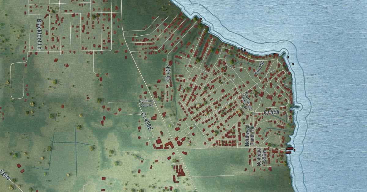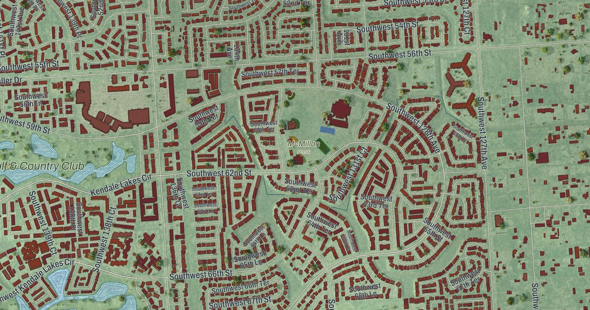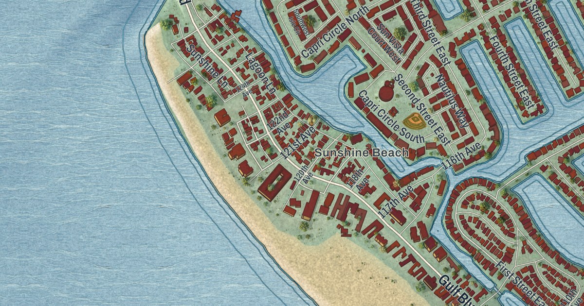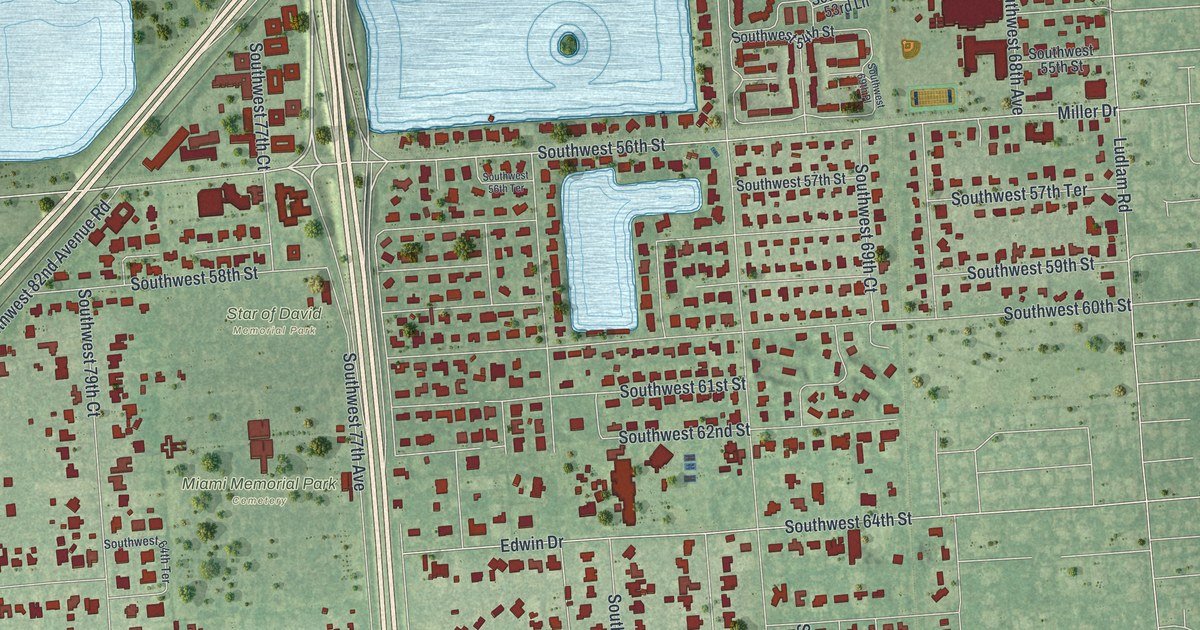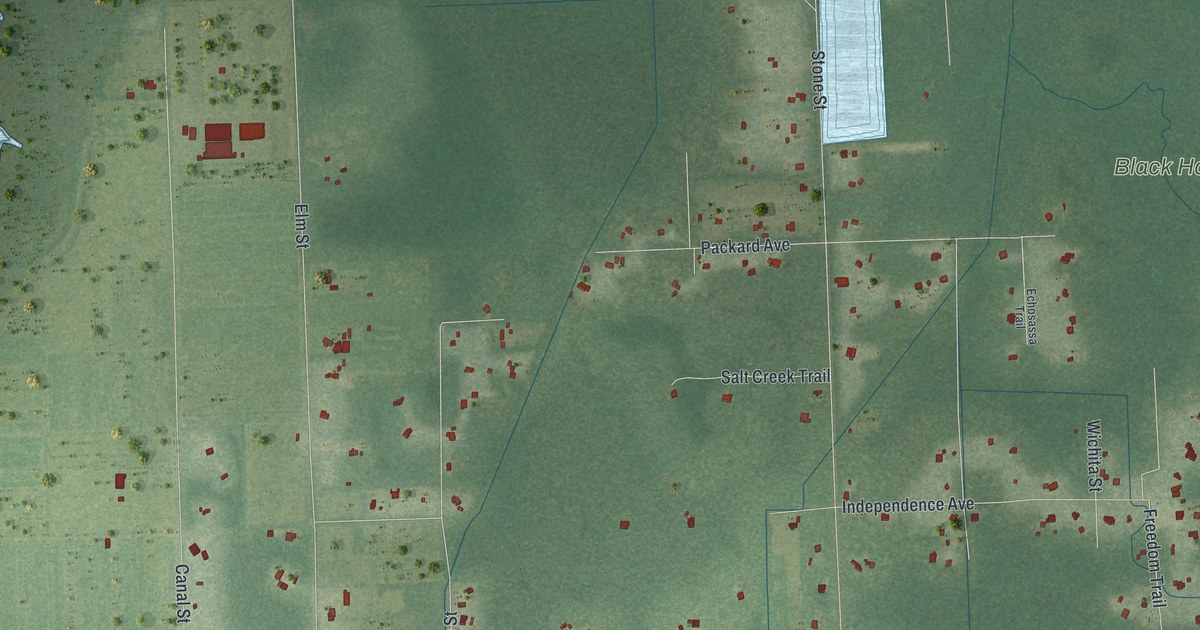
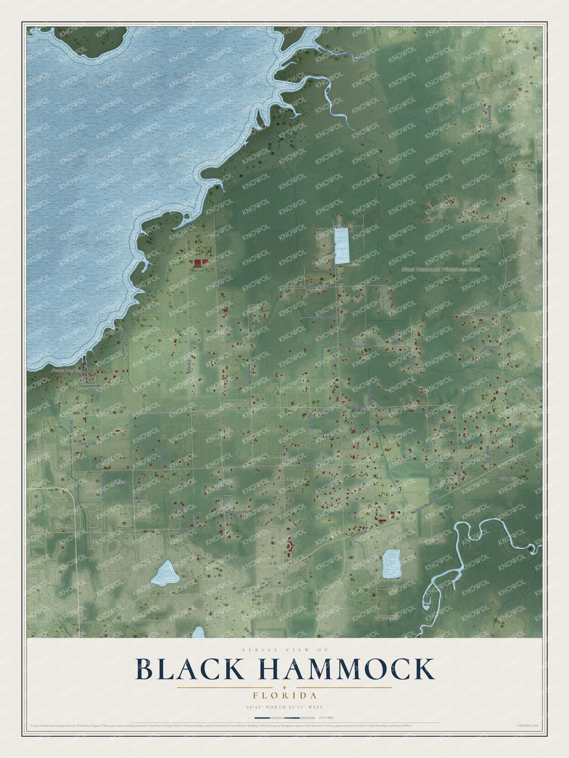
This beautifully detailed map of Black Hammock, Florida was created in 2026 using aerial imagery combined with modern topographical, census, street and landmark data. It's a modern aerial view of Black Hammock in Seminole County, Florida, that combines modern data with a vintage aesthetic. The roads feature printed names, and if you look closely you can find your exact house accurately shown in its correct location.
Explore an aerial view of Black Hammock, Florida
On this map you'll find Iowa City, Neheb, Jones Landing, Truck Corner, Black Hammock Wilderness Area, Lake Charm Drive, Shady Palm Cv, East Artesia Street, Freedom Trail, Howard Avenue, Packard Avenue, Florida Avenue, and more. Each red shape is a building, so zoom in on the preview and look for yours.
Every town has a first chapter, and Black Hammock is no exception. For 25 years, Henry Jackson, one of the first Black homesteaders in the Oviedo area, led a grubbing crew of up to sixteen men who used mule-drawn plows to clear trees and stumps from the Black Hammock and Iowa City areas. Their work led to the rise of celery as a major crop. Jackson came from Mitchell County, Georgia, and homesteaded 40 acres on Long Lake in the Oviedo area. The Black settlement that grew around his land there was later renamed Jackson Heights in his honor. That's from the Florida Division of Historical Resources.
Black Hammock is a community in Seminole County. The Census Bureau counted 1,195 people here in 2020.
Take a closer look at the Black Hammock map
Names on this map
These names are printed on this map.
Places: Iowa City, Neheb, Jones Landing, Truck Corner and Black Hammock Wilderness Area.
Streets and roads: Lake Charm Drive, Shady Palm Cv, East Artesia Street, Freedom Trail, Howard Avenue, Packard Avenue, Florida Avenue, Elm Street, Stone Street, Canal Street, Geneva Drive, North County Road 426.
More street names, A to Z
Artesio Avenue, Barr Street, Black Hammock Road, Cress Loop, De Leon Street, Echosassa Trail, Genova Court, Genova Drive, Hammock Street, Independence Avenue, Kansas Street, Maplewood Lane, Marsh Street, Mills Avenue, Murphy Street, North Division Street, Oklahoma Street, Orange Street, Palm Avenue, Palm Drive, Priest Lane, Salt Creek Trail, Smart's Place, Sunset Trail, Turkey Avenue, Van Arsdale Street, Walsh Street, Wichita Street, Wild Orange Point, Wildwood Trail.
See it on a wall
The Black Hammock map as a framed print. Swipe for more.


Created by KNOWOL in 2026. The buildings are small red shapes, the roads carry their printed names, and shaded relief shows the shape of the land. The title panel reads "AERIAL VIEW OF BLACK HAMMOCK, FLORIDA" with 28°43' NORTH 81°11' WEST.
Hang it in the hallway, the office or the cabin, or give it to someone who left Black Hammock and still calls it home. Open the preview and look for a street you know. See sizes and frames for the Black Hammock map.