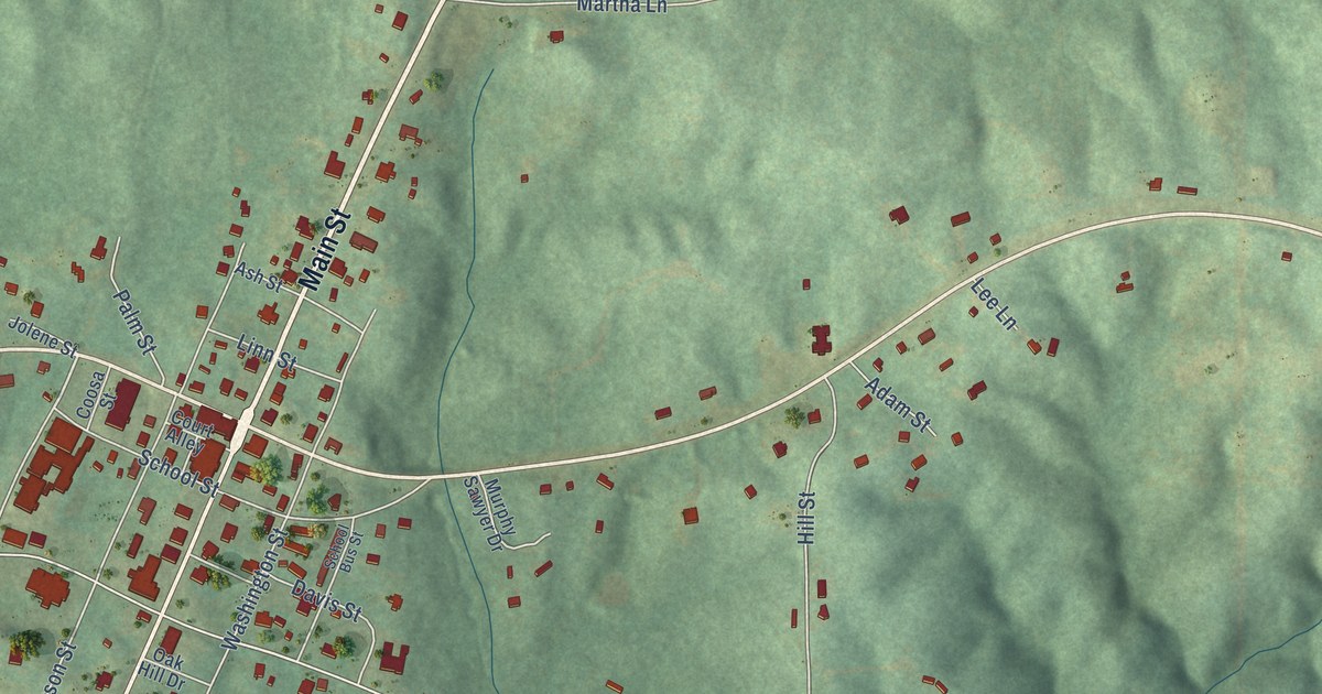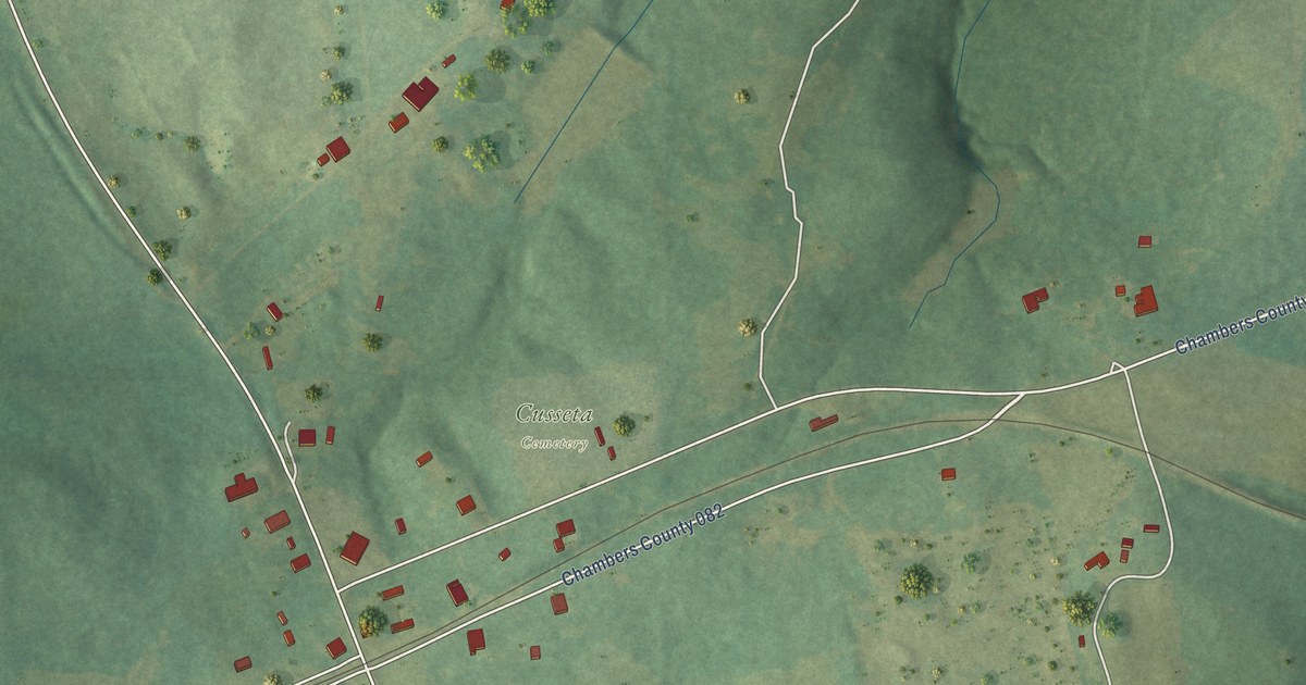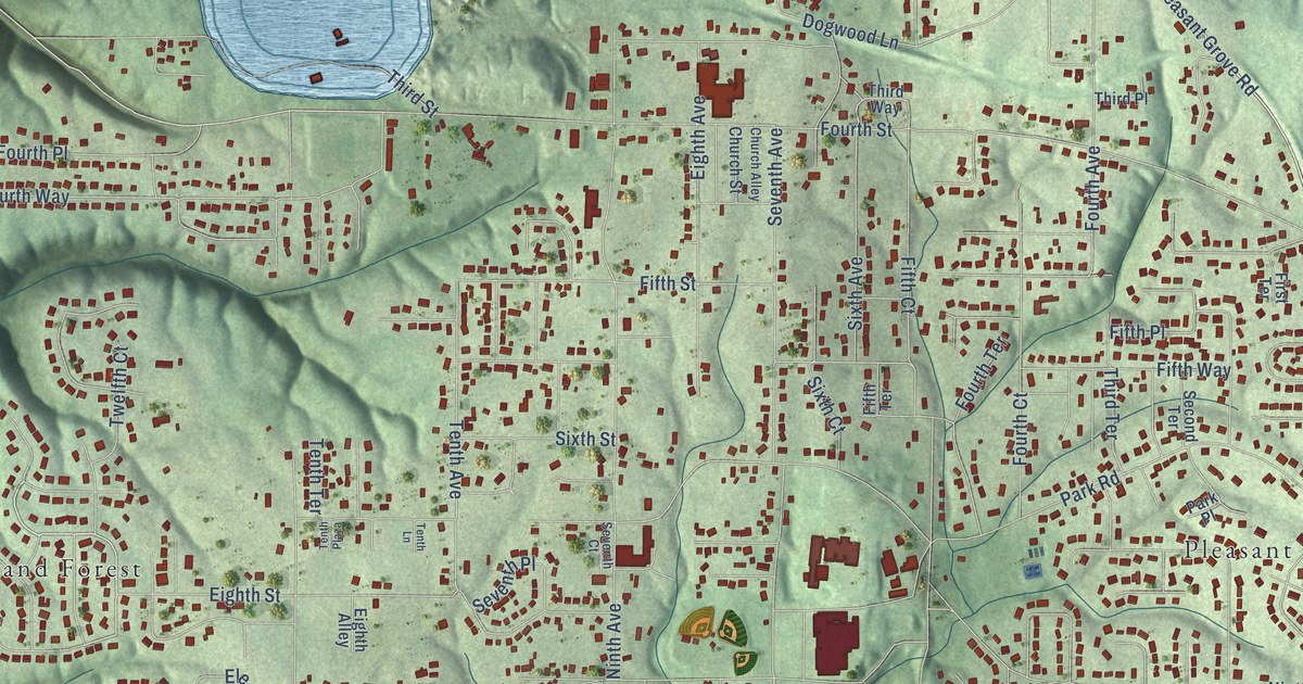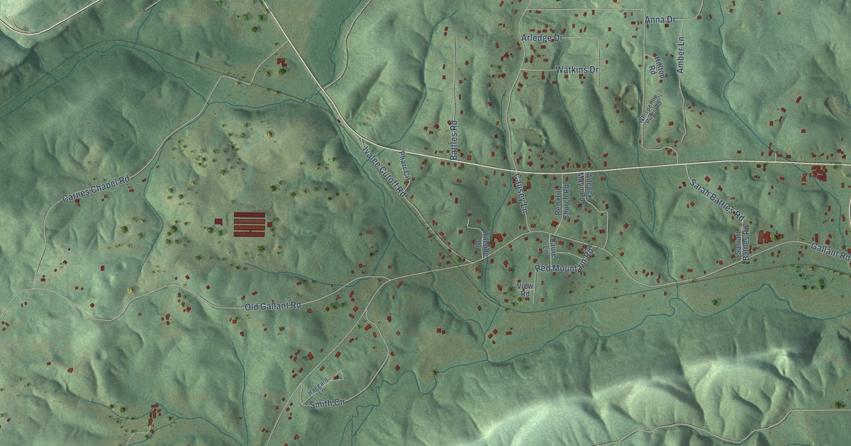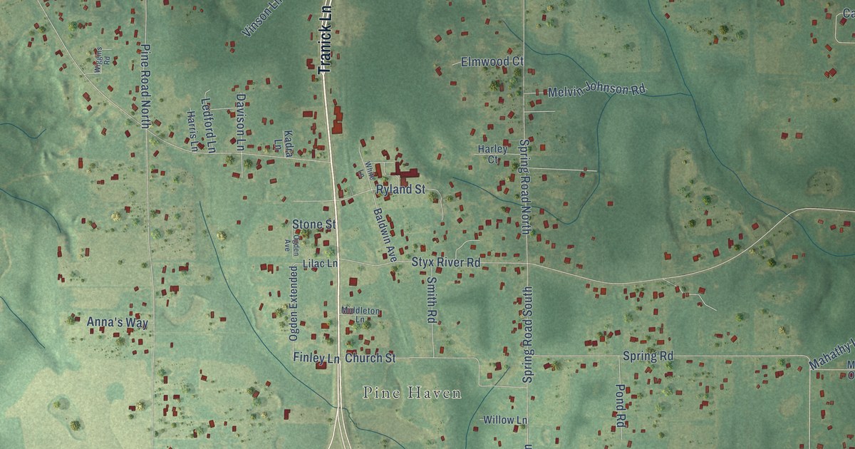
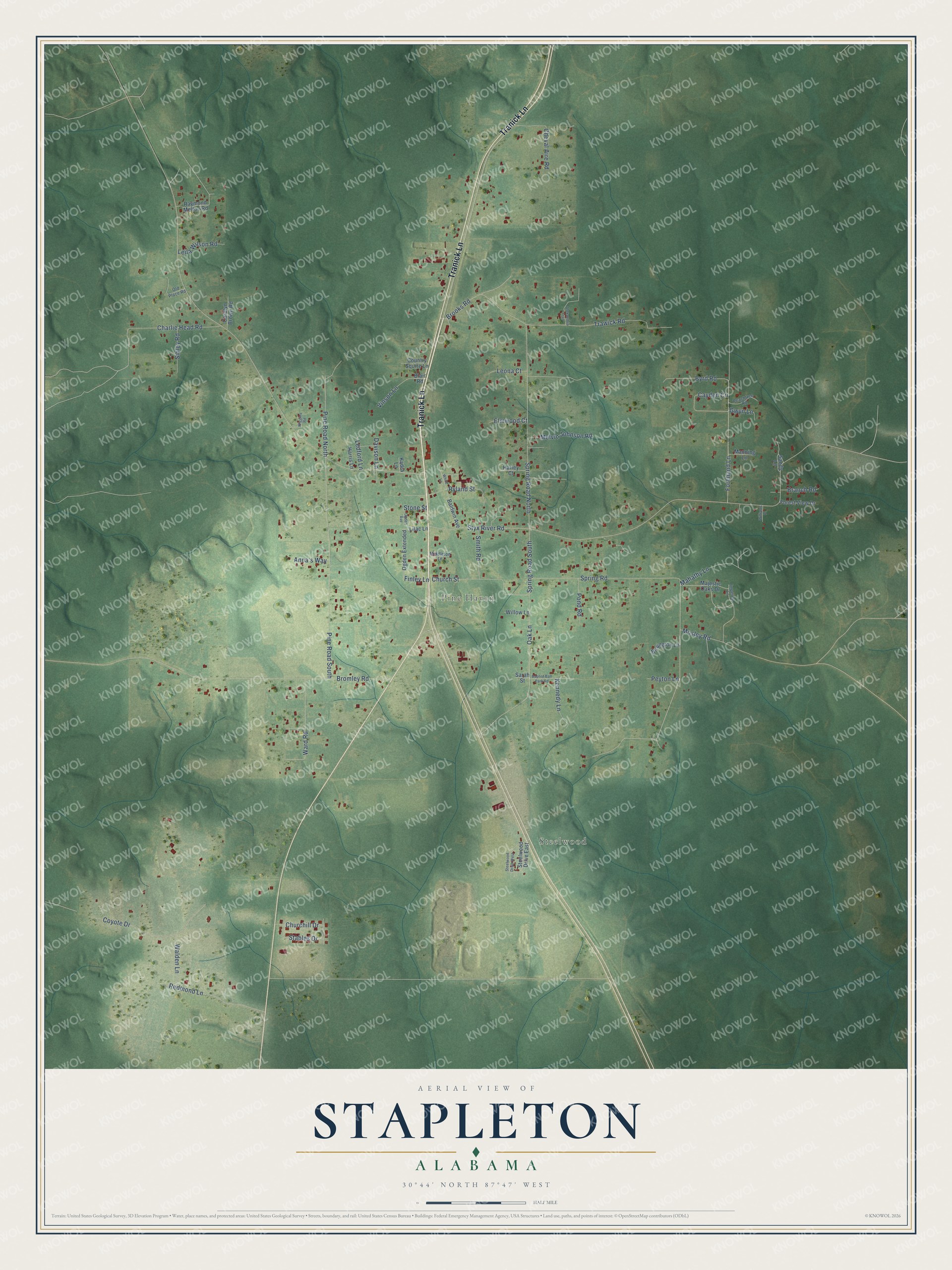
This beautifully detailed map of Stapleton, Alabama was created in 2026 using aerial imagery combined with modern topographical, census, street and landmark data. It's a modern aerial view of Stapleton in Baldwin County, Alabama, that combines modern data with a vintage aesthetic. The roads feature printed names, and if you look closely you can find your exact house accurately shown in its correct location.
Explore an aerial view of Stapleton, Alabama
On this map you'll find Steelwood, Pine Haven, Tranick Lane, Finley Lane, Spring Road South, Styx River Road, Bromley Road, Pine Road South, Trawick Road, Spring Road North, Byrd Road, Spring Road, and more. Each red shape is a building, so zoom in on the preview and look for yours.
Here is a piece of Stapleton history. Stapleton, a settlement in Baldwin County, was named for the Stapleton family, who were prominent landowners, and the Stapleton post office was established in 1929. That's from the Place Names in Alabama book.
Stapleton is a community in Baldwin County. The Census Bureau counted 2,213 people here in 2020.
Take a closer look at the Stapleton map
Names on this map
These names are printed on this map.
Places: Steelwood and Pine Haven.
Streets and roads: Tranick Lane, Finley Lane, Spring Road South, Styx River Road, Bromley Road, Pine Road South, Trawick Road, Spring Road North, Byrd Road, Spring Road, Forehand Lane, Oak Lane.
More street names, A to Z
Alexandria Trail, Anna's Way, Baldwin Avenue, Baptist Ball Park Road, Blair Road, Boyington Lane, Branch Road, Brooks Road, Carolyn Brown Road, Cayden Circle, Charlie Head Road, Cheval Aire Road, Churchill Drive, Church Street, Country Squire Lane, Coyote Drive, Davison Lane, Elmwood Court, Forest View Drive, Gwyn Lane, Harley Court, Harris Lane, Imperial Lane, Kadra Lane, Kennedy Lane, Ledford Lane, Leila Wilson Road, Leona Court, Lilac Lane, Mahathy Lane, Majestic Oaks Drive, Manning Lane, Melvin Johnson Road, Middleton Lane, Mosley Road, Ogden Avenue, Ogden Extended, Old Place Road, Peachtree Road, Peyton Lane, Pine Road North, Pond Road, Raymond Melton Road, Redmond Lane, Ryland Street, Sandy Lane, Sarah Street, Sibley Road, Smith Road, Stables Drive, Steelwood Drive East, Steelwood Drive West, Stone Street, Vinson Lane, Walden Lane, Ward Road, White Lane, Wiggins Road, Williams Place, Willow Lane.
See it on a wall
The Stapleton map as a framed print. Swipe for more.


Created by KNOWOL in 2026. The buildings are small red shapes, the roads carry their printed names, and shaded relief shows the shape of the land. The title panel reads "AERIAL VIEW OF STAPLETON, ALABAMA" with 30°44' NORTH 87°47' WEST.
It suits a den, a classroom or a front hall, and it makes a gift for anyone with Stapleton roots. Open the preview and find the block you know. See sizes and frames for the Stapleton map.