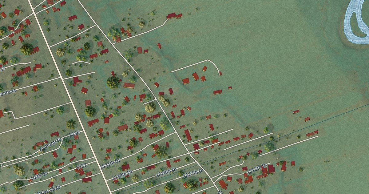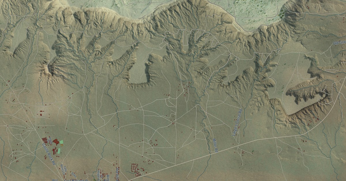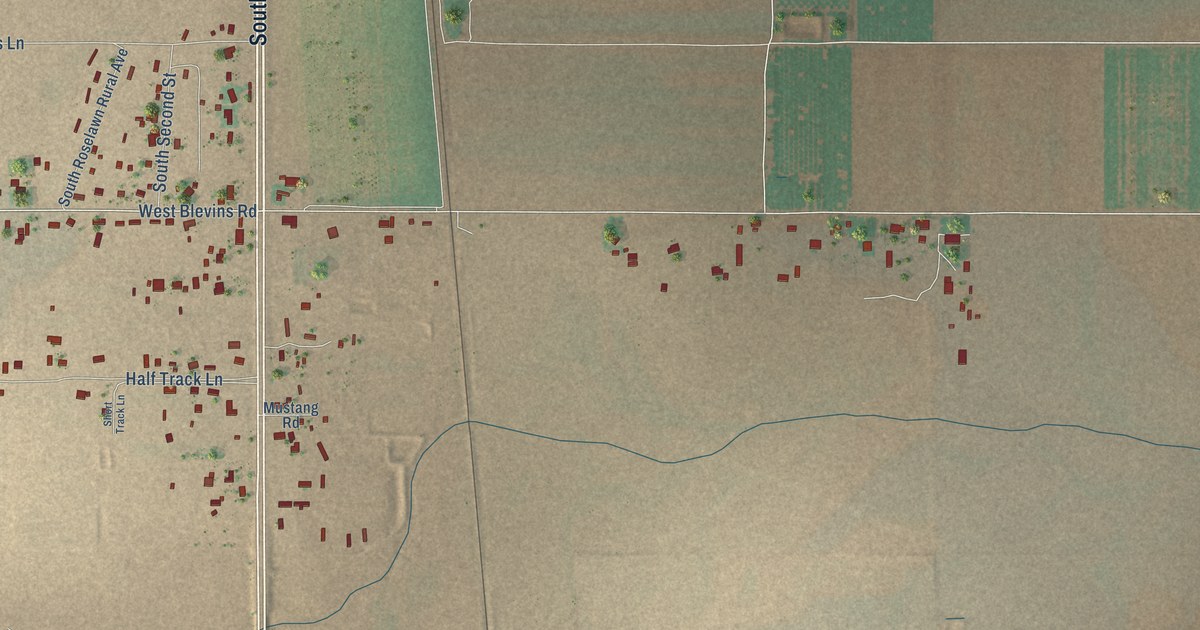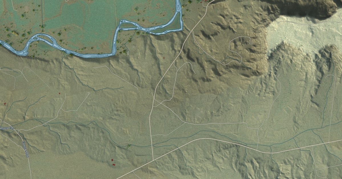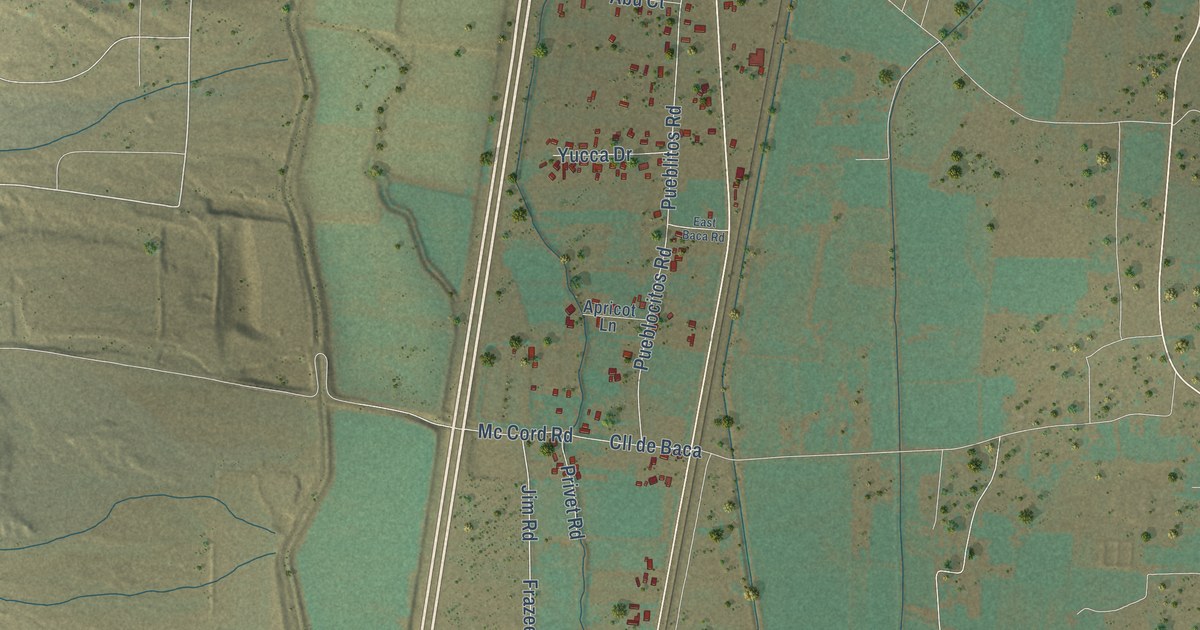
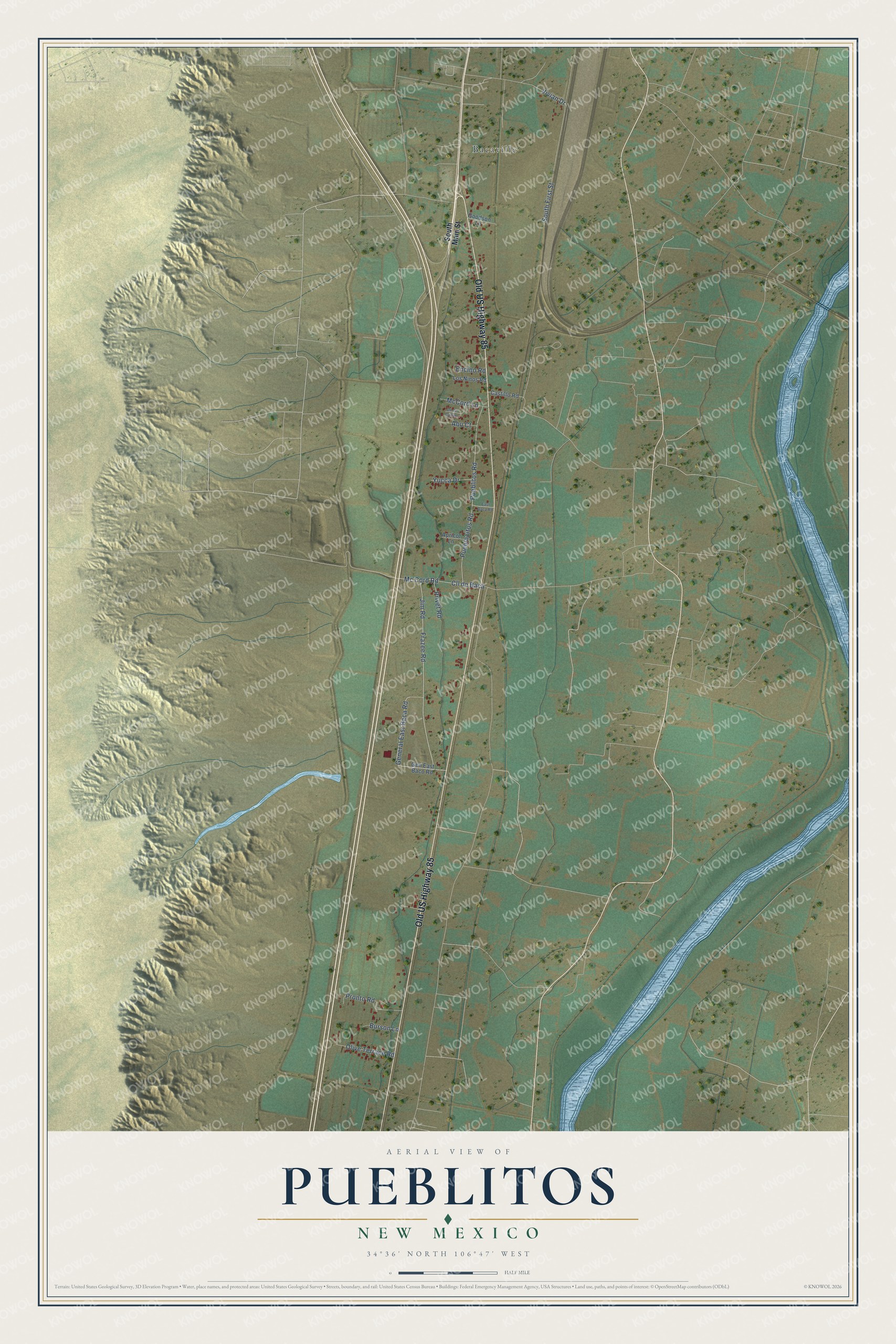
This beautifully detailed map of Pueblitos, New Mexico was created in 2026 using aerial imagery combined with modern topographical, census, street and landmark data. It's a modern aerial view of Pueblitos in Valencia County, New Mexico, that combines modern data with a vintage aesthetic. The roads feature printed names, and if you look closely you can find your exact house accurately shown in its correct location.
Explore an aerial view of Pueblitos, New Mexico
On this map you'll find Bacaville, Old US Highway 85, Vivian Drive, Frazee Road, Jim Road, Pueblitos Road, Pueblocitos Road, South First Street, General East Baca Road, Cll de Baca, Mc Cord Road, Pronto Road, and more. Each red shape is a building, so zoom in on the preview and look for yours.
Pueblitos has a story worth telling. Pueblitos and its neighbor Bosque lay too far from the river to get the water their vineyards and fields needed. So the territorial legislature of 1871 and 1872 ordered the mayordomo of the Garcias and Pueblitos acequia to keep the water running every year until ice stopped it. Every user was bound to help with the work. The same law fined anyone who blocked the ditch's current or washed clothes where the dirt could reach it. That's from the Laws of the Territory of New Mexico.
Pueblitos is a community in Valencia County. The Census Bureau counted 540 people here in 2020.
Take a closer look at the Pueblitos map
Names on this map
These names are printed on this map.
Places: Bacaville.
Streets and roads: Old US Highway 85, Vivian Drive, Frazee Road, Jim Road, Pueblitos Road, Pueblocitos Road, South First Street, General East Baca Road, Cll de Baca, Mc Cord Road, Pronto Road, Olive Terrace Road.
More street names, A to Z
Abu Court, Apricot Lane, Burson Lane, Castillo Road, Cll de Campo, East Baca Road, Encino Road, Gen East Baco Road, Goodson Lane, Los Ninos Road, McCord Lane, Privet Road, South Main Street, Yucca Drive.
See it on a wall
The Pueblitos map as a framed print. Swipe for more.


Created by KNOWOL in 2026. The buildings are small red shapes, the roads carry their printed names, and shaded relief shows the shape of the land. The title panel reads "AERIAL VIEW OF PUEBLITOS, NEW MEXICO" with 34°36' NORTH 106°47' WEST.
It looks right in a kitchen, an office or a den, and it's a gift for anyone who grew up in Pueblitos or moved away. Open the preview and find your street. See sizes and frames for the Pueblitos map.