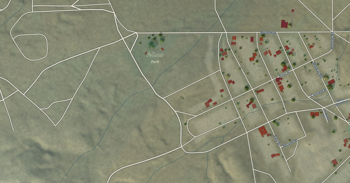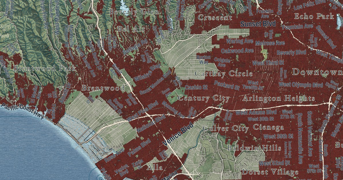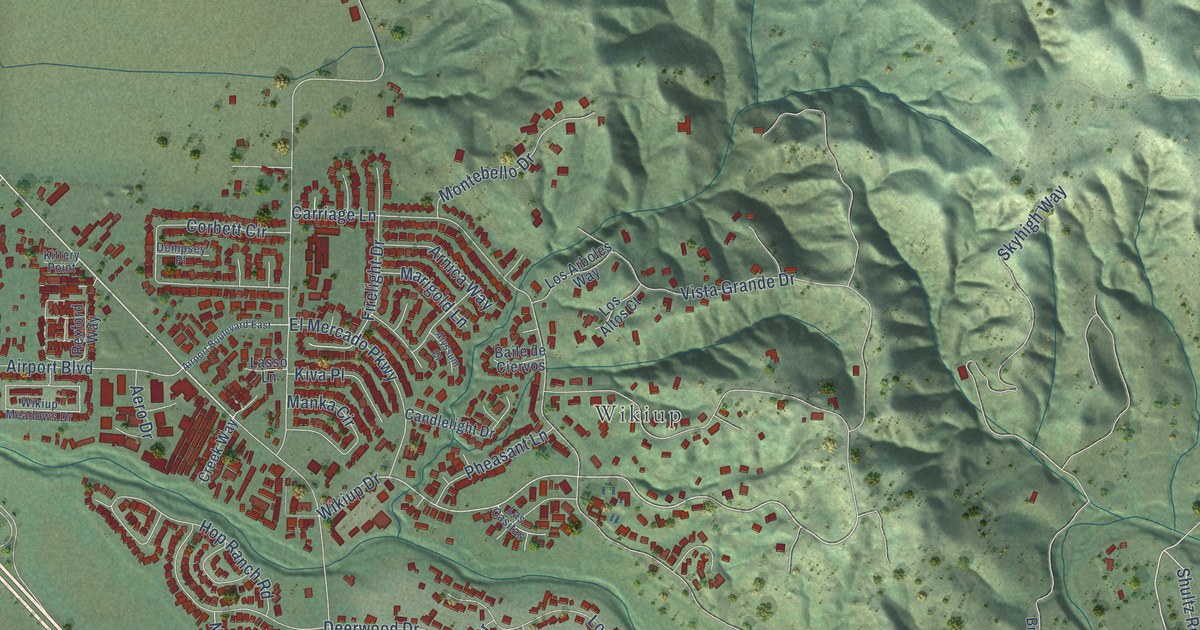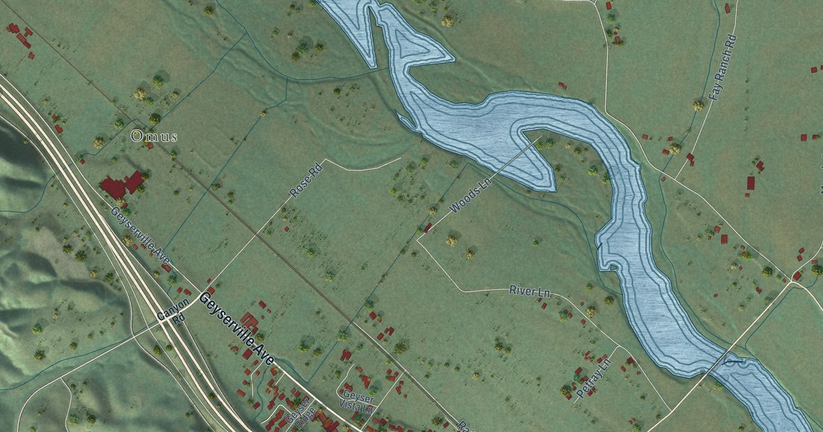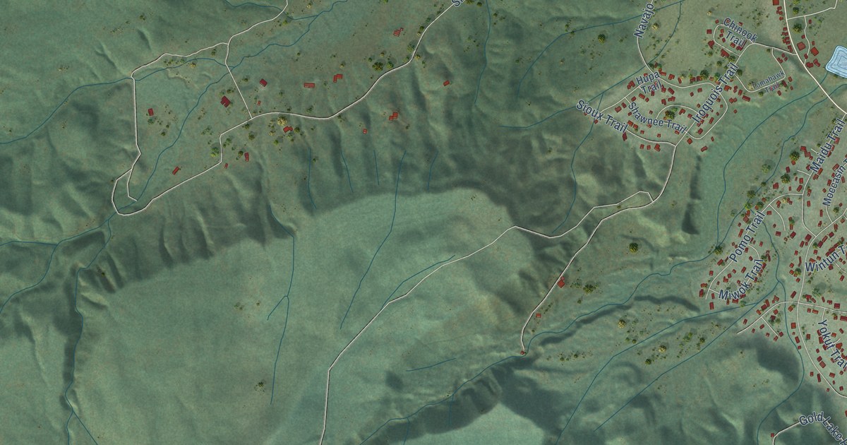
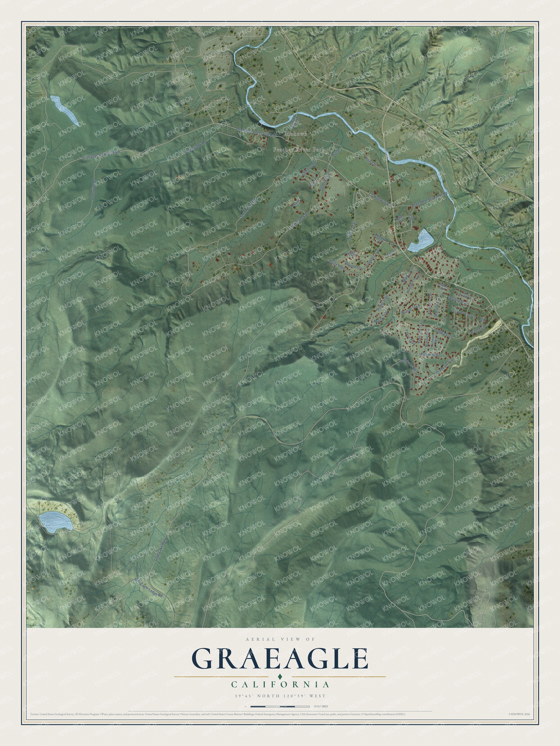
This beautifully detailed map of Graeagle, California was created in 2026 using aerial imagery combined with modern topographical, census, street and landmark data. It's a modern aerial view of Graeagle in Plumas County, California, that combines modern data with a vintage aesthetic. The roads feature printed names, and if you look closely you can find your exact house accurately shown in its correct location.
Explore an aerial view of Graeagle, California
On this map you'll find Feather River Park, Mohawk, Smith Creek Road, Gold Lake Highway, Co Highway A14, Graeagle Johnsville Road, Smith Lake Road, Tolowa Trail, Paiute Trail, Yonkalla Trail, Watertank Road, Johnsville Road, and more. Each red shape is a building, so zoom in on the preview and look for yours.
Graeagle has a story worth telling. Graeagle, pronounced Gray Eagle, takes its name from Gray Eagle Creek and began as a mill town in 1916. For 35 years the California Fruit Exchange whistle woke its mill workers, and when the mill shut down on the last Saturday in October 1956, the whistle blew for five solid minutes as the last log went through. The first workers lived in company houses that were sawn in half and brought in by rail, and the joins still show on the red houses along the main street. That's from the Graeagle Land and Water Company.
Graeagle is a community in Plumas County. The Census Bureau counted 724 people here in 2020.
Take a closer look at the Graeagle map
Names on this map
These names are printed on this map.
Places: Feather River Park and Mohawk.
Streets and roads: Smith Creek Road, Gold Lake Highway, County Highway A14, Graeagle Johnsville Road, Smith Lake Road, Tolowa Trail, Paiute Trail, Yonkalla Trail, Watertank Road, Johnsville Road, Navajo Trail, Hazel Drive.
More street names, A to Z
Blairsden-Graeagle Road, Chinook Trail, Gold Lake Road, Goldridge Drive, Graeagle-Johnsville Road, Gray Eagle Lodge Road, Hokan Trail, Huchnom Trail, Hupa Trail, Iroquois Trail, Jamison Road, Kato Trail, Klamath Trail, Korominu Trail, Maidu Trail, Maricopa Trail, Mattole Trail, Miwok Trail, Moccasin Trail, Mohave Trail, Mohawk Highway Road, Nozi Trail, Nugget Lane, Penman Lane, Placer, Pomo Trail, Shasta Trail, Shawnee Trail, Sioux Trail, Tomahawk Trail, Wasco Trail, West Chilula Trail, Wintun Trail, Wishram Trail, Yokut Trail.
See it on a wall
The Graeagle map as a framed print. Swipe for more.


Created by KNOWOL in 2026. The buildings are small red shapes, the roads carry their printed names, and shaded relief shows the shape of the land. The title panel reads "AERIAL VIEW OF GRAEAGLE, CALIFORNIA" with 39°45' NORTH 120°39' WEST.
It looks right in a kitchen, an office or a den, and it's a gift for anyone who grew up in Graeagle or moved away. Open the preview and find your street. See sizes and frames for the Graeagle map.