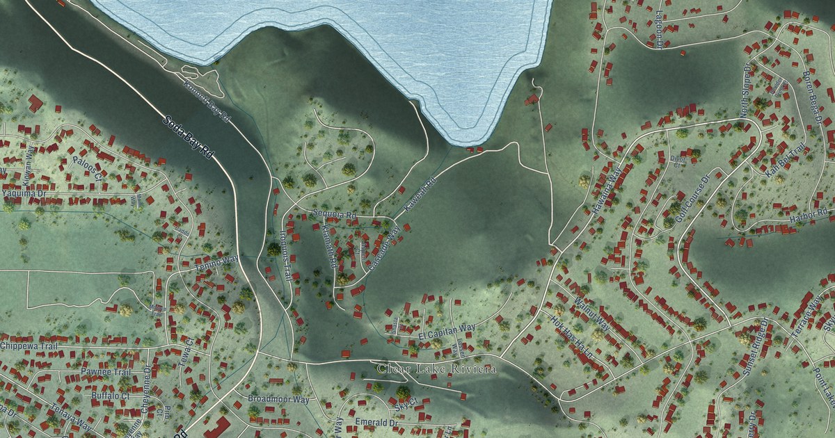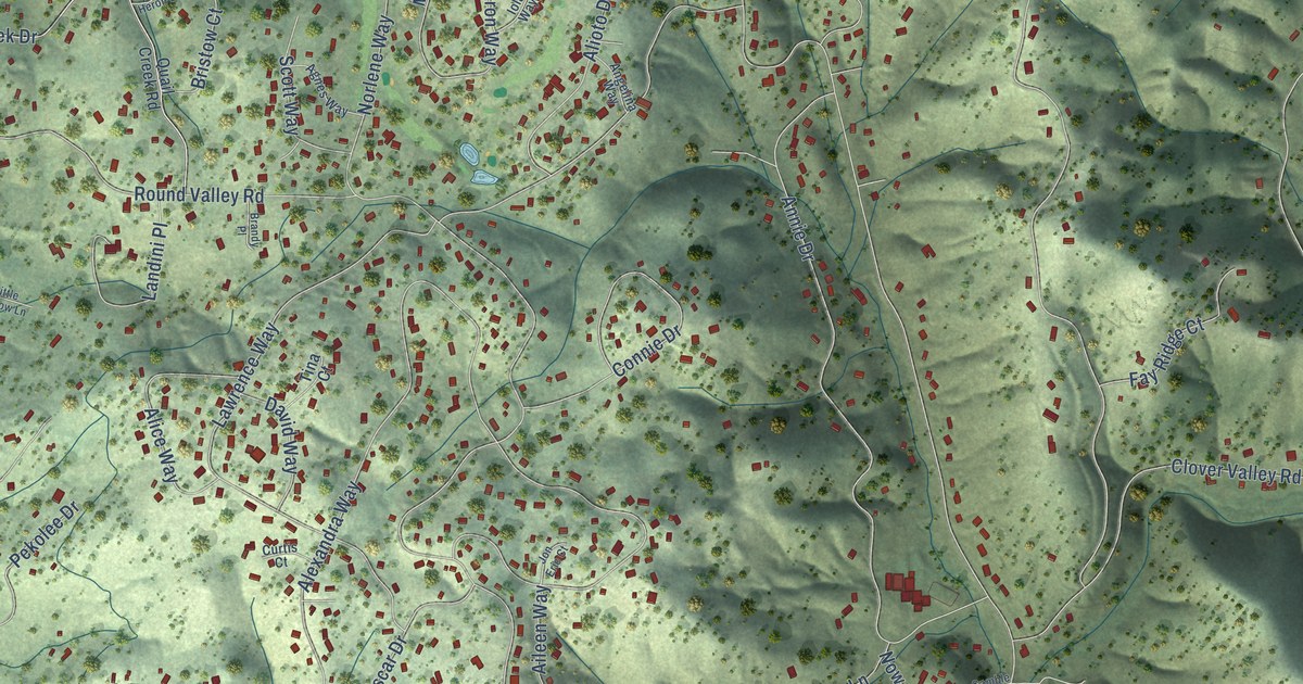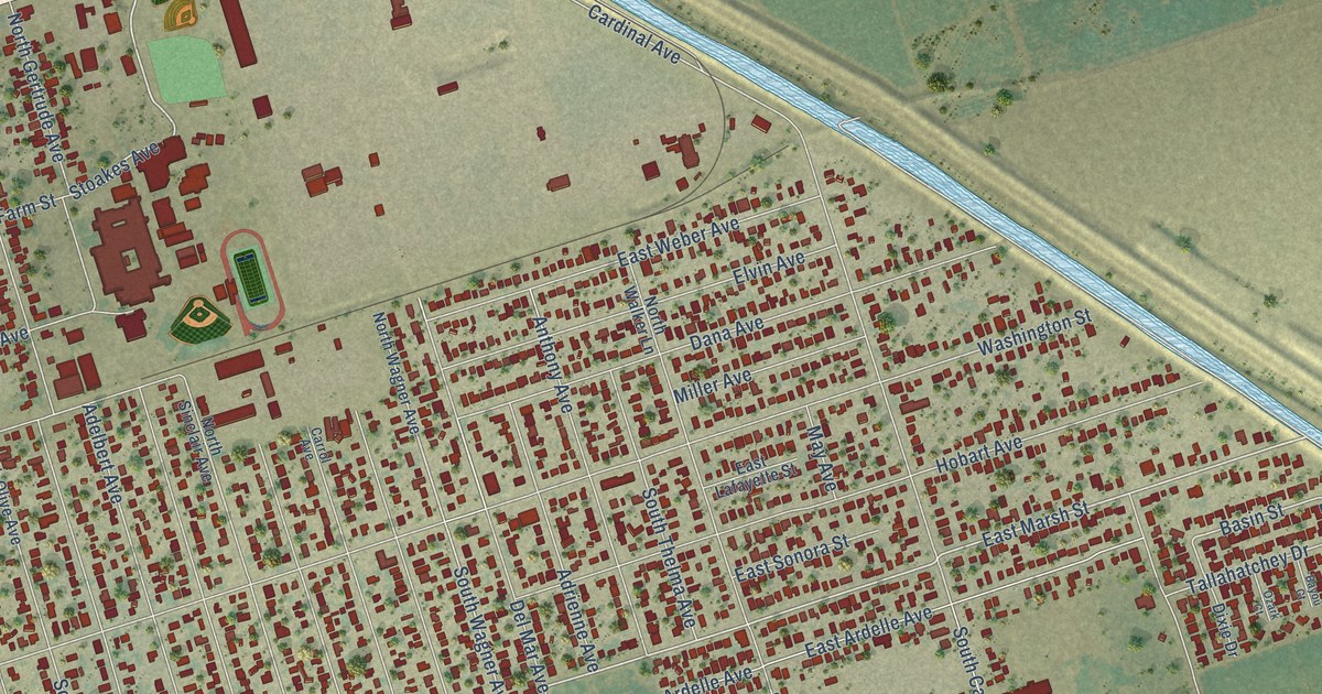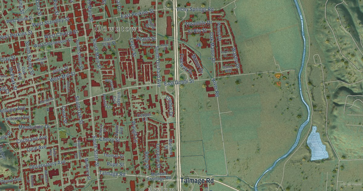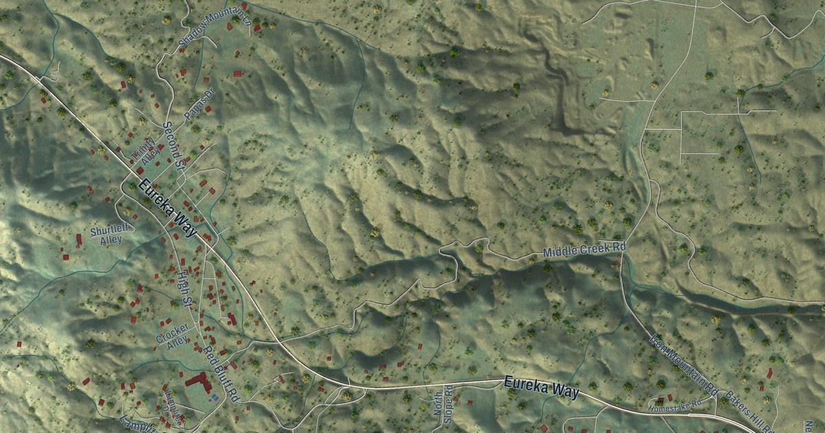
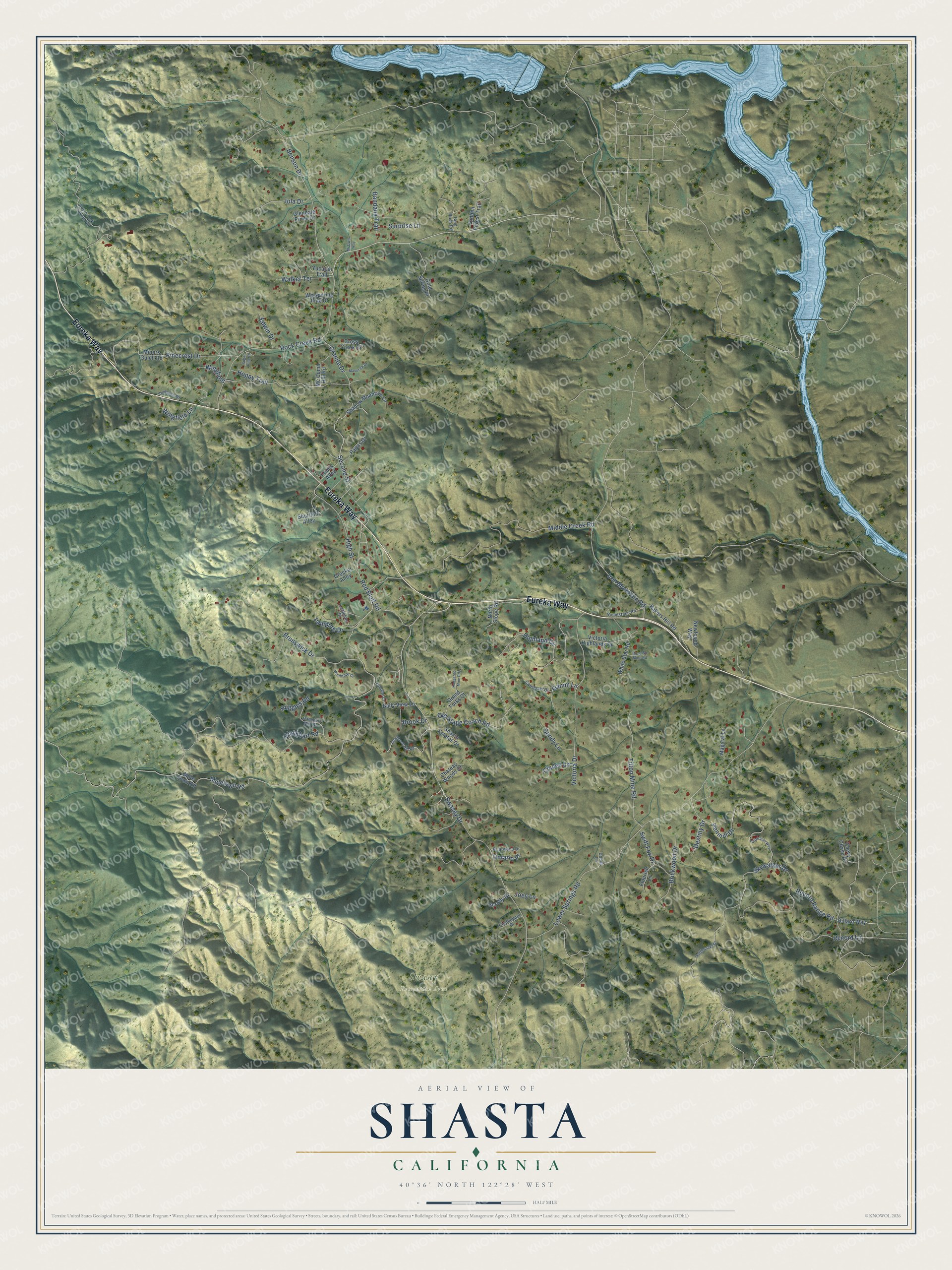
This beautifully detailed map of Shasta, California was created in 2026 using aerial imagery combined with modern topographical, census, street and landmark data. It's a modern aerial view of Shasta in Shasta County, California, that combines modern data with a vintage aesthetic. The roads feature printed names, and if you look closely you can find your exact house accurately shown in its correct location.
Explore an aerial view of Shasta, California
On this map you'll find Swasey Recreation Area, Eureka Way, Rock Creek Road, Swasey Drive, Second Street, Muletown Road, Lower Springs Road, Middle Creek Road, Penmill Drive, Skywalker Drive, Blackbart Road, Victoria Drive, and more. Each red shape is a building, so zoom in on the preview and look for yours.
Here is a piece of Shasta history, in the words of the record. The California Office of Historic Preservation puts it this way: "Founded in 1849 as Reading's Springs, the town was named Shasta June 8, 1850. It was the second county seat for Shasta County, 1851-1888, and the metropolis of northern California during the 1850s." Until 1861 the wagon road ended at Shasta and the pack trail to Oregon began. The town also published the Shasta Courier from 1851.
Shasta is a community in Shasta County. The Census Bureau counted 1,043 people here in 2020.
Take a closer look at the Shasta map
Names on this map
These names are printed on this map.
Places: Swasey Recreation Area.
Streets and roads: Eureka Way, Rock Creek Road, Swasey Drive, Second Street, Muletown Road, Lower Springs Road, Middle Creek Road, Penmill Drive, Skywalker Drive, Blackbart Road, Victoria Drive, Pinecrest Drive.
More street names, A to Z
Bakers Hill Road, Bally View Lane, Bandana Trail, Benson Drive, Briarwood Drive, Brickwood Drive, Brook Drive, Brunswick Drive, Caboose Court, Carrousel Drive, Chateau Woods Drive, Chevy Chase Drive, Cindee Lane, Clodhopper Drive, Crocker Alley, Cross Creek Drive, Destiny Drive, Dillard Way, Dodds Lane, Edwin Drive, Flourish Lane, Ganim Lane, Gas House Hill Road, Glendale Pines Drive, Gold Rush Road, Gold Spring Place, Grand Forks Court, Granite Drive, Hammer Mill Drive, Hidden Forest Trail, Highland Circle, High Street, Homestake Road, Hope So Mine Road, Hoppy Trail, Iola Drive, Iron Mountain Road, Joey Lane, Kangaroo Mine Road, Lamplite Drive, Lampliter Drive, Magical Lane, Maverick Drive, Mc Comb Hill Road, Miners Gulch Road, Mi Own Way, Mule Town Road, Newfound Way, North Slope Road, Old Stage Coach Road, Ontario Place, Papas Drive, Rattlesnake Drive, Record Lane, Record Range Road, Red Bluff Road, Ruggles Road, Sandy Lane, Scruffy Drive, Shadow Mountain Lane, Shasta Estates Drive, Shurtleff Alley, South Fork Lookout Road, Sugar Pine Lane, Surprise Lane, Swift Fox Drive, Tilton Mine Road, Tollhouse Road, Trinity Alley, Valparaiso Way, Victoria Highlands Drive, Walker Terrace, Whispering Pine Drive, White Star Road, Wingfield, Wingfield Lane, Winthrope Court, Yucatan Trail.
See it on a wall
The Shasta map as a framed print. Swipe for more.


Created by KNOWOL in 2026. The buildings are small red shapes, the roads carry their printed names, and shaded relief shows the shape of the land. The title panel reads "AERIAL VIEW OF SHASTA, CALIFORNIA" with 40°36' NORTH 122°28' WEST.
It suits a den, a classroom or a front hall, and it makes a gift for anyone with Shasta roots. Open the preview and find the block you know. See sizes and frames for the Shasta map.