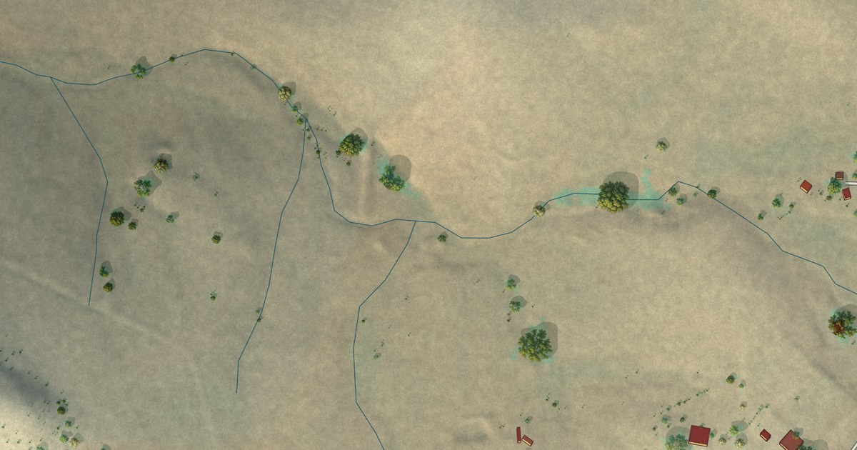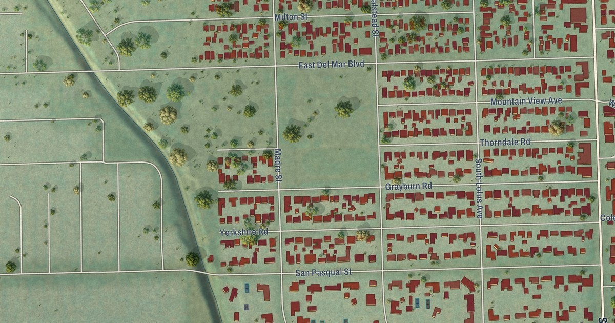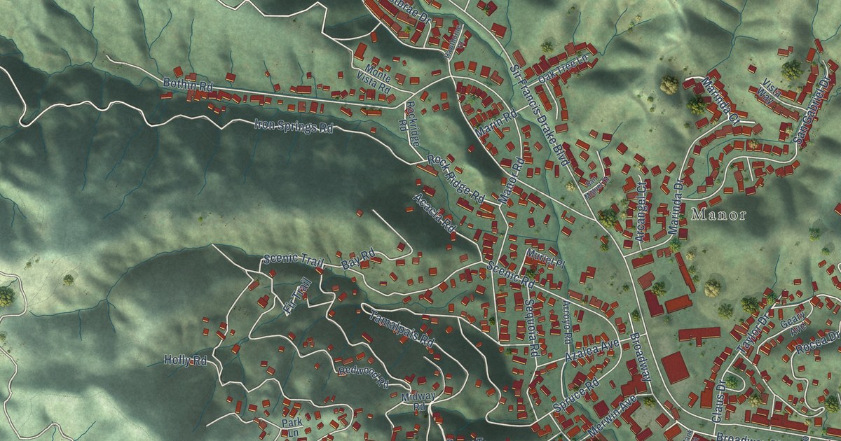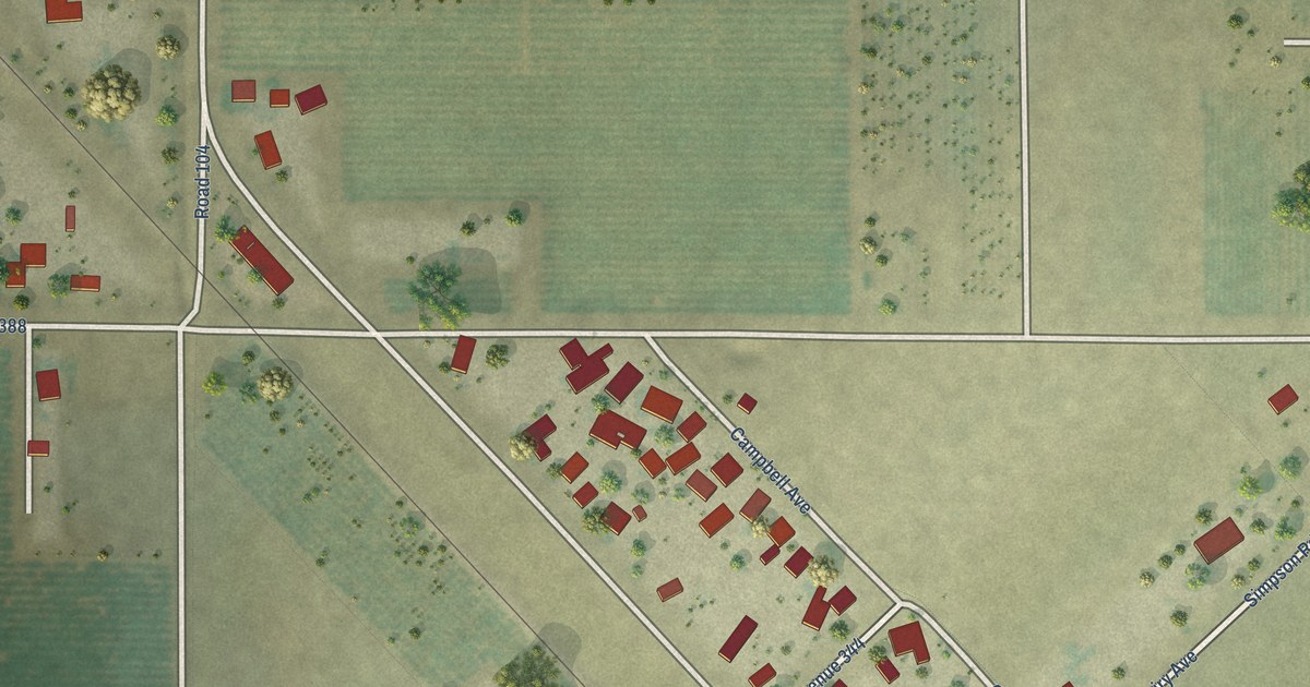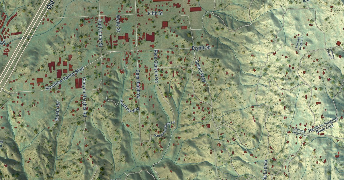
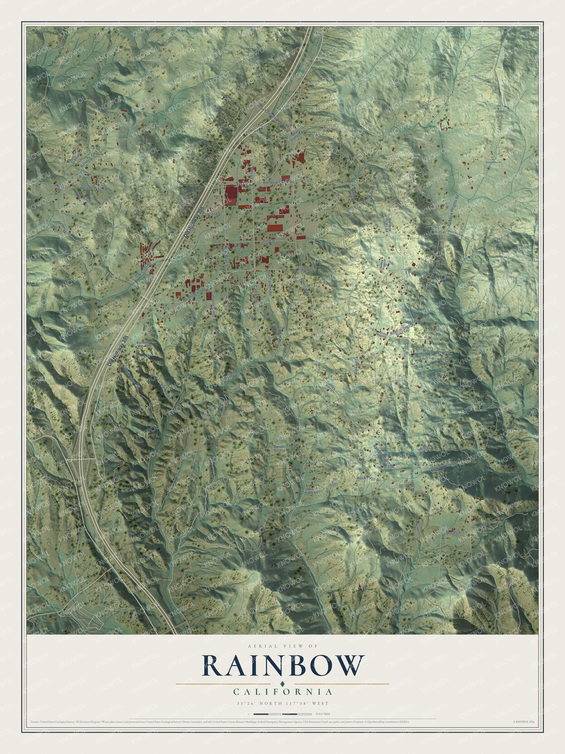
This beautifully detailed map of Rainbow, California was created in 2026 using aerial imagery combined with modern topographical, census, street and landmark data. It's a modern aerial view of Rainbow in San Diego County, California, that combines modern data with a vintage aesthetic. The roads feature printed names, and if you look closely you can find your exact house accurately shown in its correct location.
Explore an aerial view of Rainbow, California
On this map you'll find Old Highway 395, Rainbow Glen Road, Rainbow Valley Boulevard, Huffstatler Street, Rainbrook Drive, Cam Rainbow, Select Way, Rainbow Heights Road, Rainbow Crest Road, Rice Canyon Road, Rainbow Creek Road, Jubilee Drive, and more. Each red shape is a building, so zoom in on the preview and look for yours.
Here is a piece of Rainbow history. The name Rainbow has nothing to do with the weather. It came from James Peebles Marshall Rainbow, a Pennsylvania farmer who settled near Fallbrook in 1875 and helped locate a colony of 20 other families nearby. When he died in 1907, the San Diego Union wrote that the town and post office of Rainbow were named in his honor. An 1894 newspaper credited him with shipping the first carload of fruit ever sent from San Diego County, muscat grapes from his 20 acre ranch. He also served two terms on the county board of supervisors. That's from the San Diego History Seeker blog.
Rainbow is a community in San Diego County. The Census Bureau counted 1,884 people here in 2020.
Take a closer look at the Rainbow map
Names on this map
These names are printed on this map.
Streets and roads: Old Highway 395, Rainbow Glen Road, Rainbow Valley Boulevard, Huffstatler Street, Rainbrook Drive, Cam Rainbow, Select Way, Rainbow Heights Road, Rainbow Crest Road, Rice Canyon Road, Rainbow Creek Road, Jubilee Drive.
More street names, A to Z
Alex Road, Aquaduct Road, Arouba Road, Aspen Road, Bartola Road, Canyon Heights Road, Chica Road, Cll del Arco, Eighth Street, Fifth Street, First Street, Gomez Creek Road, Huntley Hill Lane, Jubilee Way, Lookout Mountain Road, Moon Ridge Road, Mordigan Lane, Mount Olympus Road, Mount Olympus Valley Road, Oak Crest Road, Ohlson Crest Court, Prieto Road, Rainbow Heights Lane, Rainbow Heights Place, Rainbow Heights Road East, Rainbow Peaks Road, Rainbow Peaks Trail, Rainbow Road, Rainbow Valley Boulevard West, Rainbow Vista Drive, Rainbow Way, Rancho Bavaria, Rock Ridge Drive, Rosa Rancho Lane, Second Street, Street Rod Lane, Sumac Summit, Vanpaepeghem Lane, Via Ladera, Via Quinceleaguas, Welty Street, White Lilac Road.
See it on a wall
The Rainbow map as a framed print. Swipe for more.


Created by KNOWOL in 2026. The buildings are small red shapes, the roads carry their printed names, and shaded relief shows the shape of the land. The title panel reads "AERIAL VIEW OF RAINBOW, CALIFORNIA" with 33°24' NORTH 117°08' WEST.
It suits a den, a classroom or a front hall, and it makes a gift for anyone with Rainbow roots. Open the preview and find the block you know. See sizes and frames for the Rainbow map.