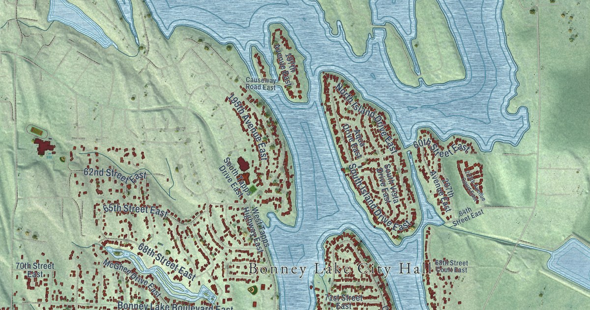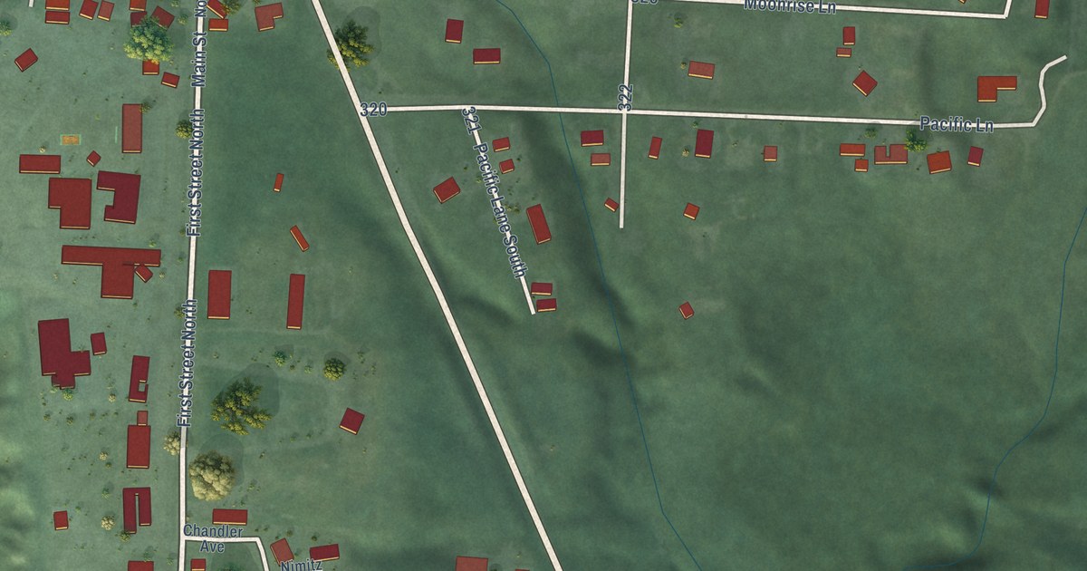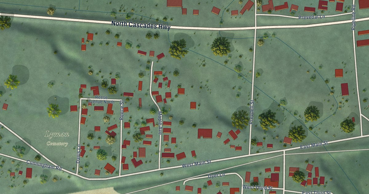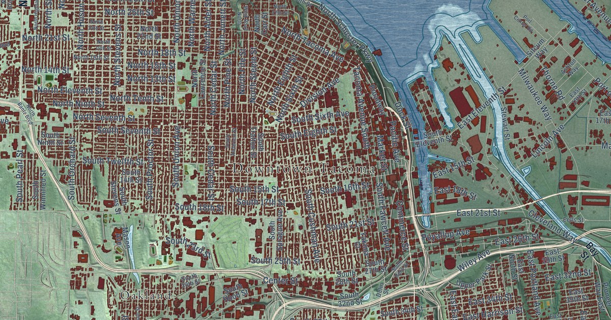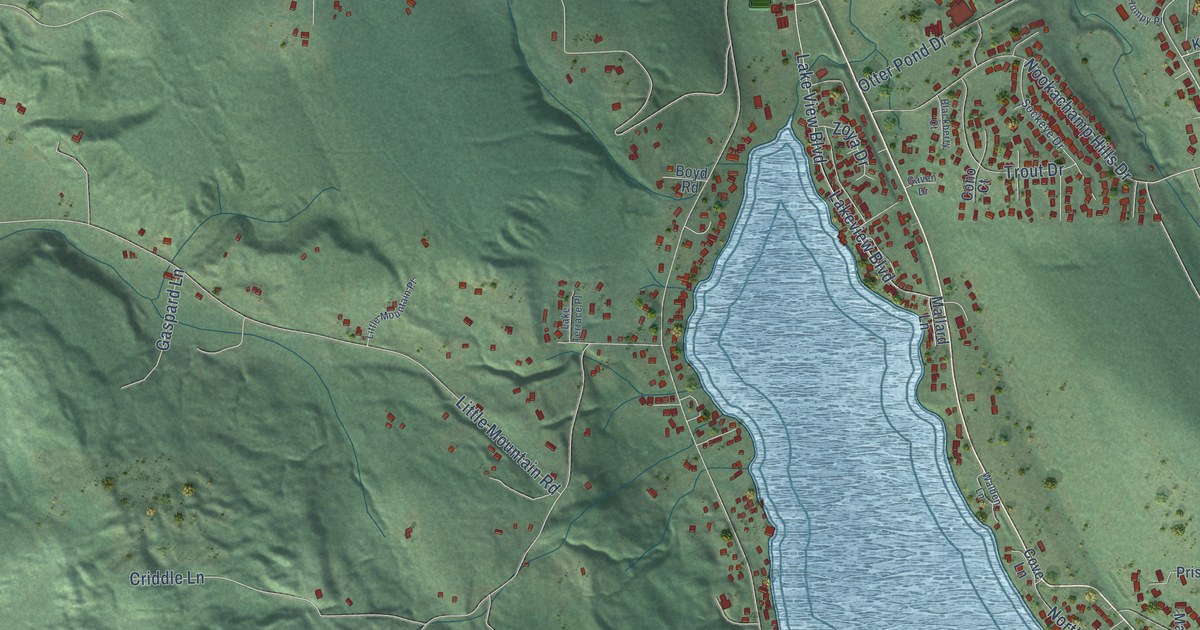
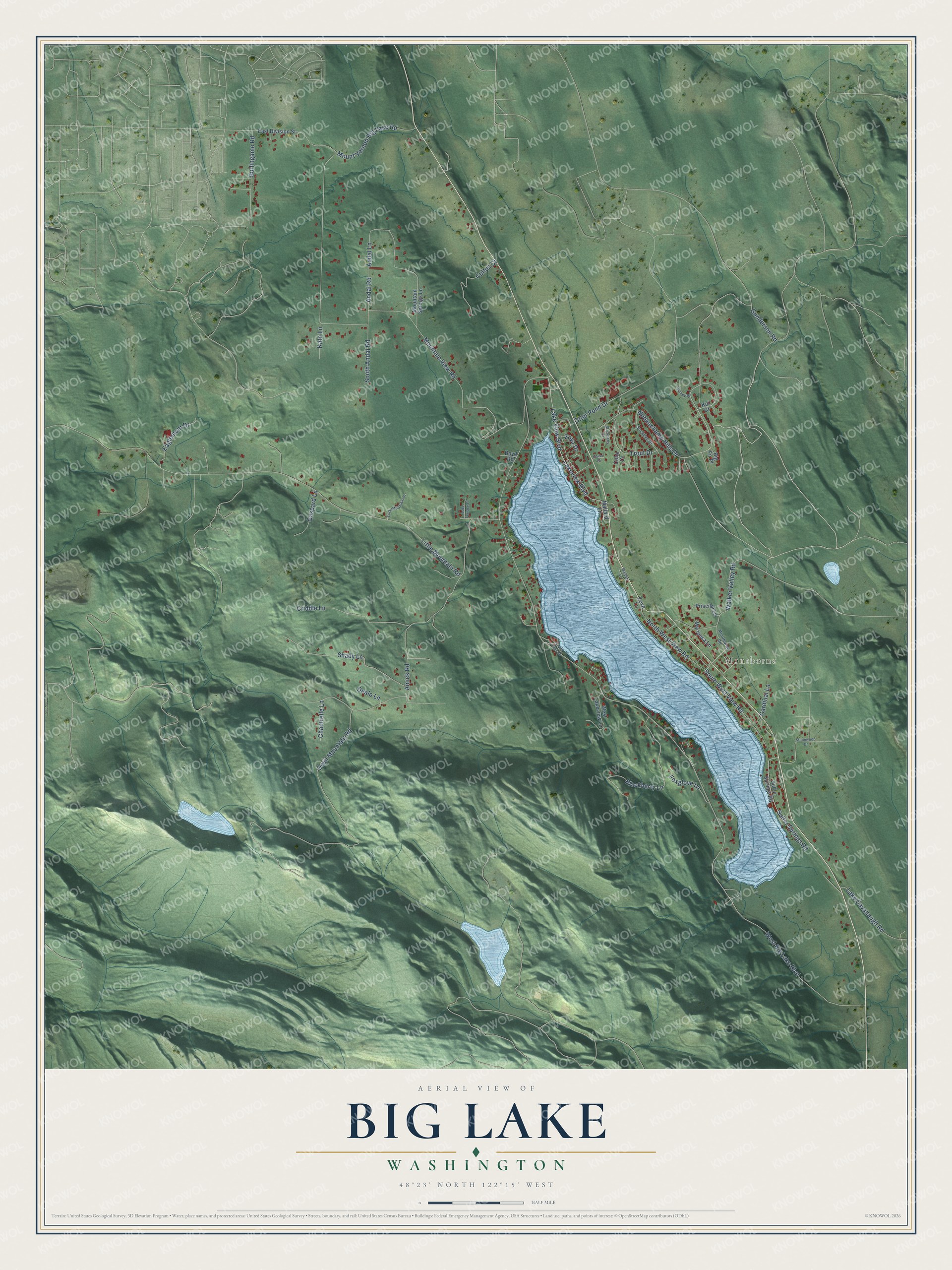
This beautifully detailed map of Big Lake, Washington was created in 2026 using aerial imagery combined with modern topographical, census, street and landmark data. It's a modern aerial view of Big Lake in Skagit County, Washington, that combines modern data with a vintage aesthetic. The roads feature printed names, and if you look closely you can find your exact house accurately shown in its correct location.
Explore an aerial view of Big Lake, Washington
On this map you'll find Montborne, Andal Road, West Big Lake Boulevard, Mountain View Road, Little Mountain Road, Amick Road, Nookachamp Hills Drive, Blackberry Lane, Walker Valley Road, Otter Pond Drive, Lake View Boulevard, Lakeview Boulevard, and more. Each red shape is a building, so zoom in on the preview and look for yours.
Every town has a first chapter, and Big Lake is no exception. Big Lake grew up as the company town of the Day Lumber Company, which built a mill there and had the town thriving by 1909. The company owned the store, the community hall, the workers' houses, a hospital and a farm for logging horses and dairy cows, and at its height Big Lake was home to about 800 people. At its peak, the Big Lake mill turned out as many as 60 million shingles a year. That's from the Fire Mountain Scout Camp history pages.
Big Lake is a community in Skagit County. The Census Bureau counted 2,980 people here in 2020.
Take a closer look at the Big Lake map
Names on this map
These names are printed on this map.
Places: Montborne.
Streets and roads: Andal Road, West Big Lake Boulevard, Mountain View Road, Little Mountain Road, Amick Road, Nookachamp Hills Drive, Blackberry Lane, Walker Valley Road, Otter Pond Drive, Lake View Boulevard, Lakeview Boulevard, Mount Vernon Big Lake Road.
More street names, A to Z
Andal Lane, Big Fir Place, Blackberry Court, Boyd Road, Burlingame Road, Cardinal Lane, Chantrelle Lane, Coho Court, Coots Cove Lane, Cove Lane, Criddle Lane, Cultus Court, Dealo Lane, Devil Mountain Road, Eaglemont Drive, East Division Street, Foxglove Lane, Gaspard Lane, Gaven Drive, Gunderson Road, Humpy Place, Kato Lane, Koi Court, Lake Cavanaugh Road, Lake Terrace Place, Little Mountain Place, Mallard Lane, Mariposa Lane, Montborne Road, Mountain Springs Lane, North West View Road, Priscilla Lane, Shady Lane, Sockeye Drive, South Andal Road, South West View Road, Stonewood Drive, Sulfer Springs Road, Sulfur Springs Road, Trout Drive, Walden Lane, West Lakeview Lane, Zoya Drive.
See it on a wall
The Big Lake map as a framed print. Swipe for more.


Created by KNOWOL in 2026. The buildings are small red shapes, the roads carry their printed names, and shaded relief shows the shape of the land. The title panel reads "AERIAL VIEW OF BIG LAKE, WASHINGTON" with 48°23' NORTH 122°15' WEST.
Hang it in the hallway, the office or the cabin, or give it to someone who left Big Lake and still calls it home. Open the preview and look for a street you know. See sizes and frames for the Big Lake map.