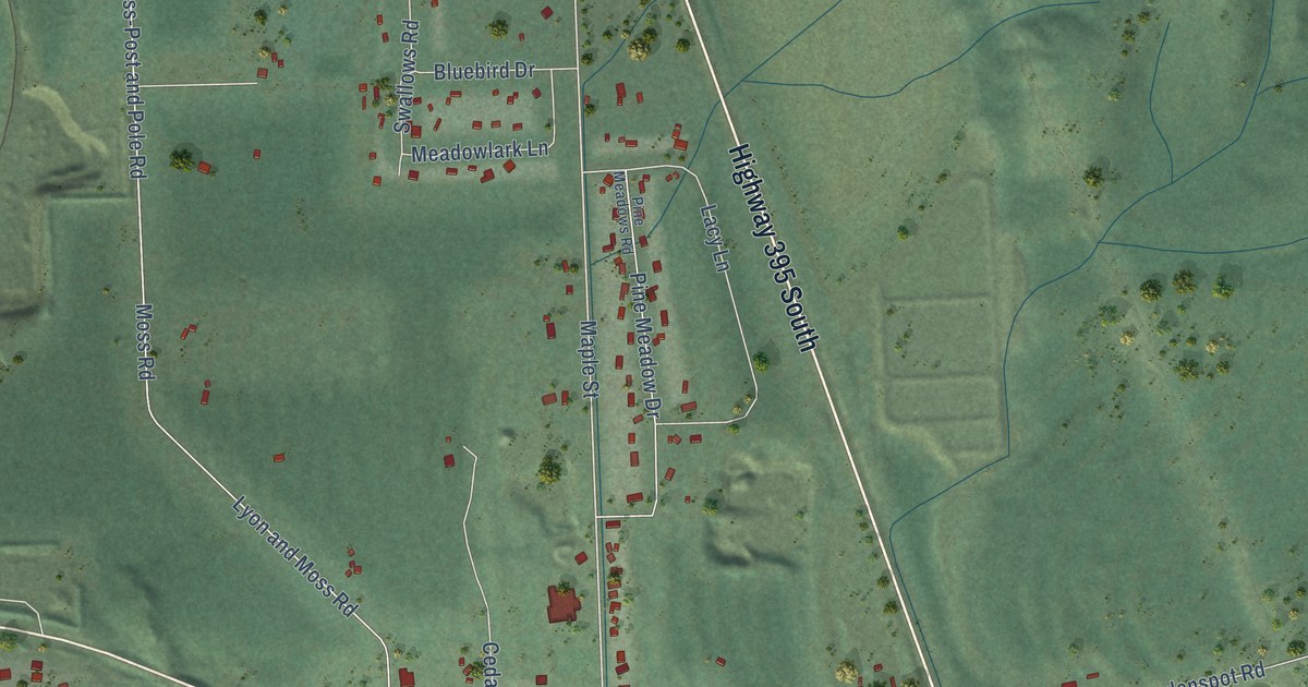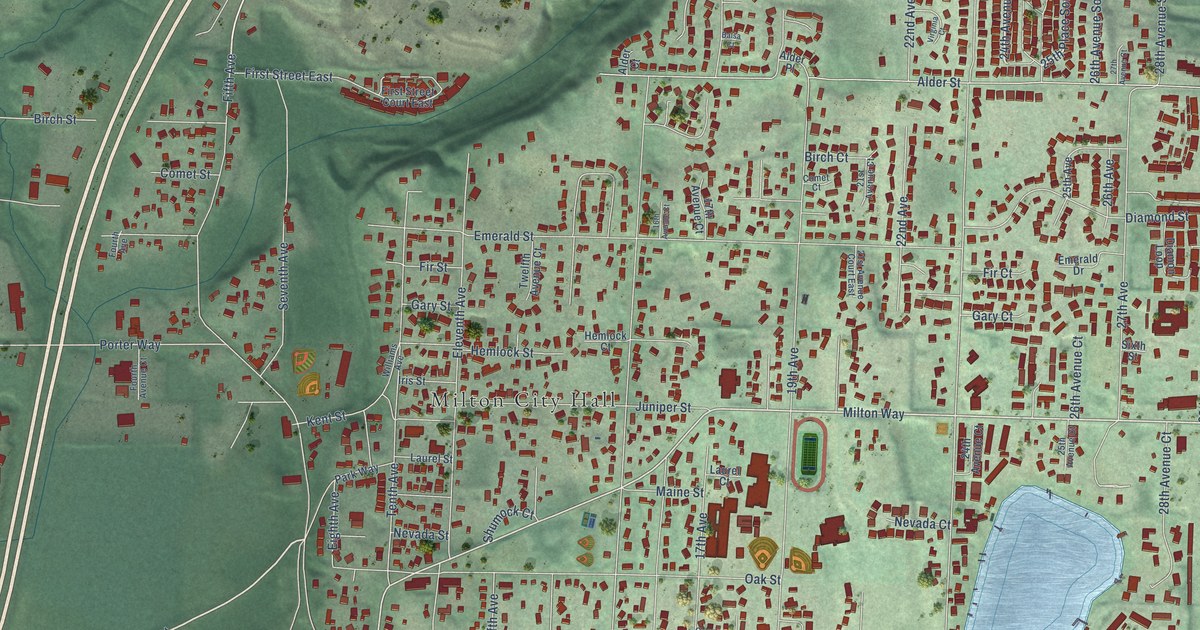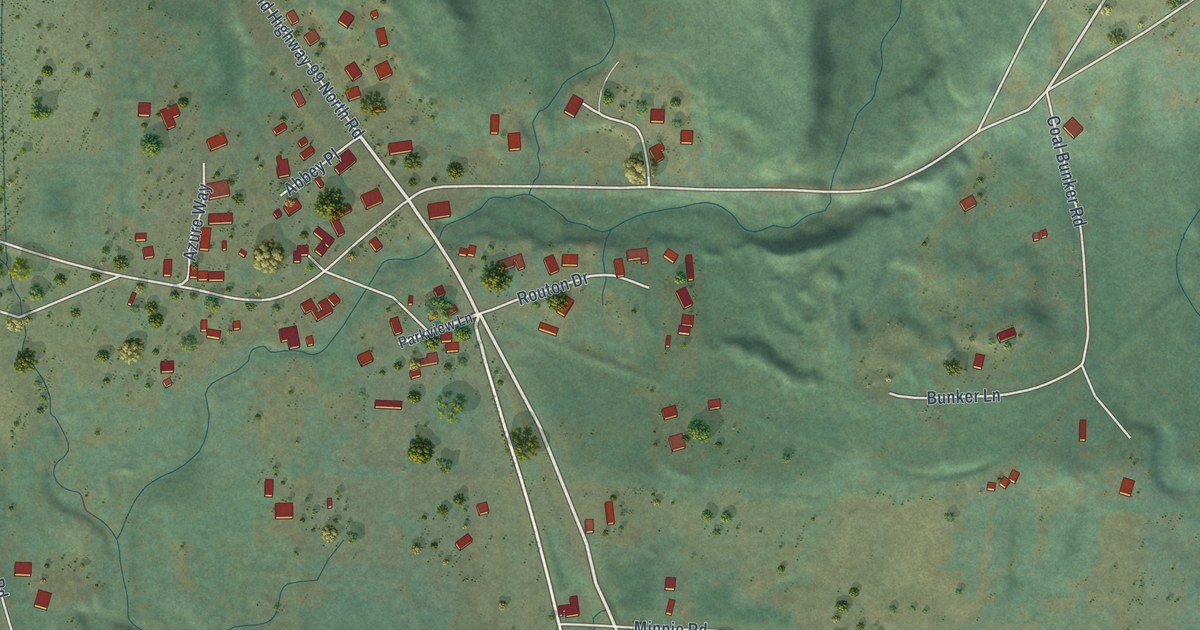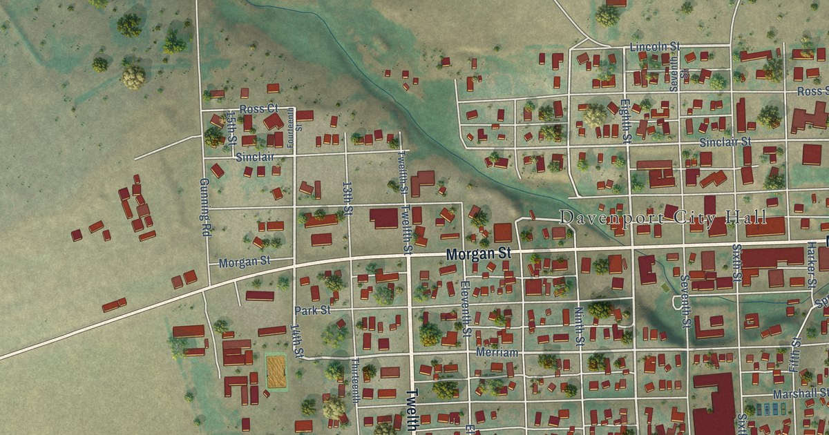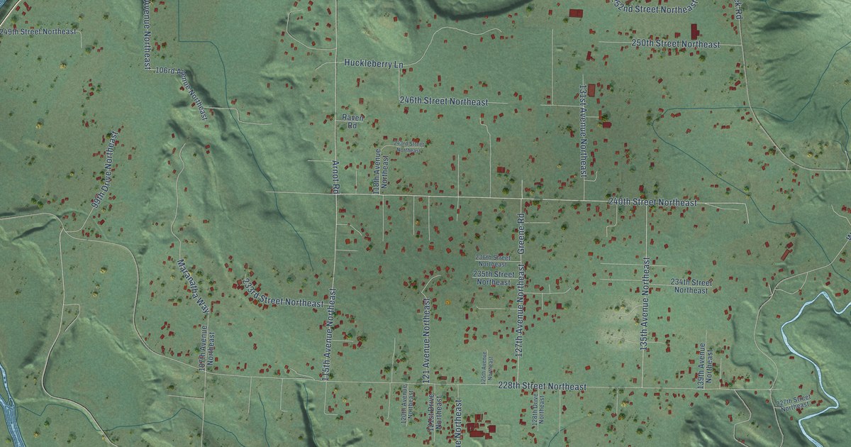
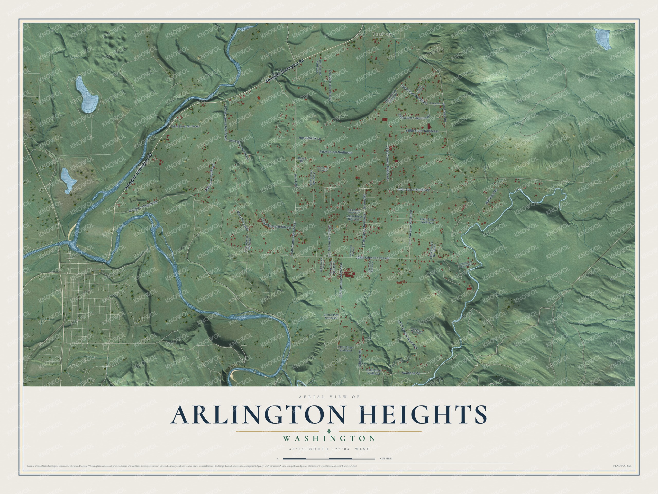
This beautifully detailed map of Arlington Heights, Washington was created in 2026 using aerial imagery combined with modern topographical, census, street and landmark data. It's a modern aerial view of Arlington Heights in Snohomish County, Washington, that combines modern data with a vintage aesthetic. The roads feature printed names, and if you look closely you can find your exact house accurately shown in its correct location.
Explore an aerial view of Arlington Heights, Washington
On this map you'll find Trafton, Arlington-Darrington Road, Arnot Road, Johnson Road, Swanson Road, Jim Creek Road, 228th Street Northeast, 115th Avenue Northeast, Wallitner Road, Arlington Heights Road, 240th Street Northeast, 127th Avenue Northeast, and more. Each red shape is a building, so zoom in on the preview and look for yours.
Arlington Heights is a community in Snohomish County. The Census Bureau counted 2,477 people here in 2020. Arlington Heights sits about 6 miles southeast of Bryant, 7 miles north of Sisco Heights and 8 miles south of Lake Cavanaugh. The map prints the town name in its title panel, with the coordinates below it.
Take a closer look at the Arlington Heights map
Names on this map
These names are printed on this map.
Places: Trafton.
Streets and roads: Arlington-Darrington Road, Arnot Road, Johnson Road, Swanson Road, Jim Creek Road, 228th Street Northeast, 115th Avenue Northeast, Wallitner Road, Arlington Heights Road, 240th Street Northeast, 127th Avenue Northeast, 123rd Avenue Northeast.
More street names, A to Z
99th Drive Northeast, 103rd Avenue Northeast, 106rd Avenue Northeast, 107th Avenue Northeast, 118th Avenue Northeast, 119th Avenue Northeast, 120th Avenue Northeast, 121 Avenue Northeast, 121st Avenue Northeast, 121st Drive Northeast, 125th Avenue Northeast, 128th Drive Northeast, 131st Avenue Northeast, 133rd Avenue Northeast, 135th Avenue Northeast, 137th Avenue Northeast, 139th Avenue Northeast, 208th Street Northeast, 212th Street Northeast, 215th Place Northeast, 217th Place Northeast, 227th Street Northeast, 233rd Street Northeast, 234th Street Northeast, 235th Street Northeast, 236th Street Northeast, 243rd Street Northeast, 246th Street Northeast, 249th Street Northeast, 250th Street Northeast, 252nd Street Northeast, 254th Place Northeast, Brentwood Drive, Greene Road, Huckleberry Lane, Maranatha Way, Park Ridge Lane, Raven Road.
See it on a wall
The Arlington Heights map as a framed print. Swipe for more.


Created by KNOWOL in 2026. The buildings are small red shapes, the roads carry their printed names, and shaded relief shows the shape of the land. The title panel reads "AERIAL VIEW OF ARLINGTON HEIGHTS, WASHINGTON" with 48°13' NORTH 122°04' WEST.
It looks right in a kitchen, an office or a den, and it's a gift for anyone who grew up in Arlington Heights or moved away. Open the preview and find your street. See sizes and frames for the Arlington Heights map.