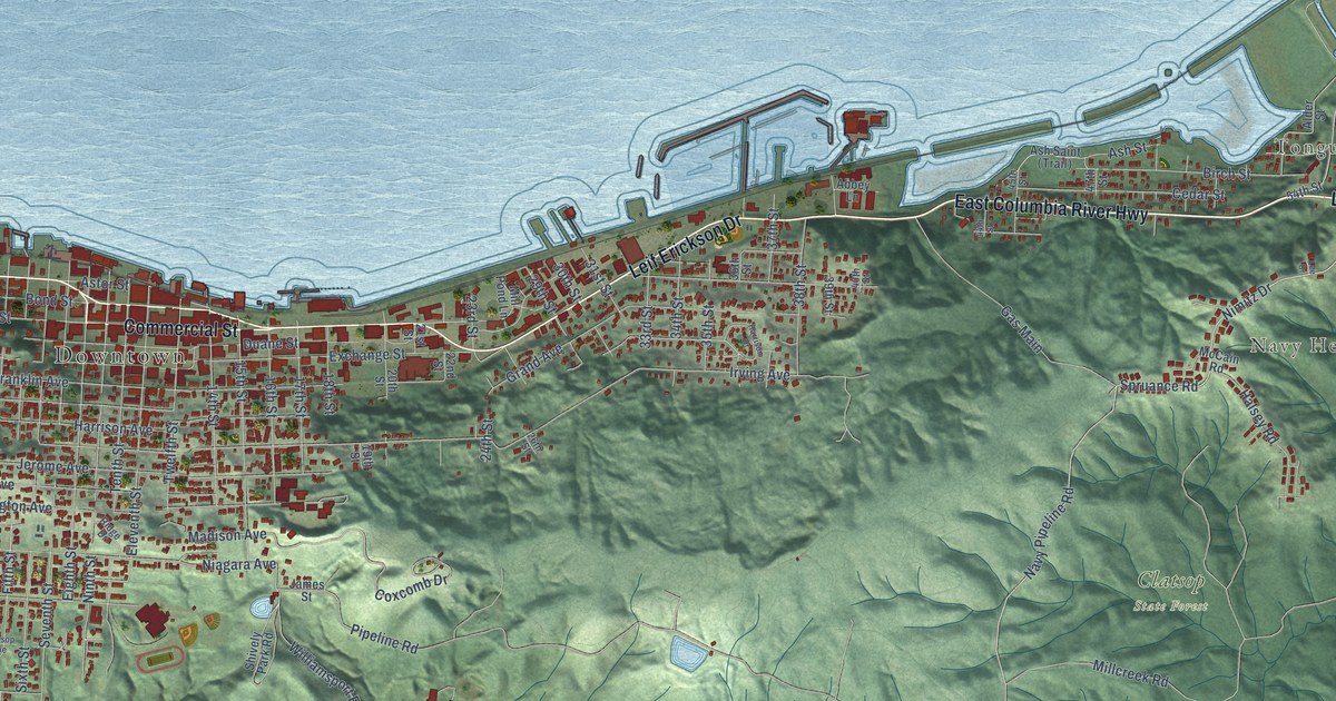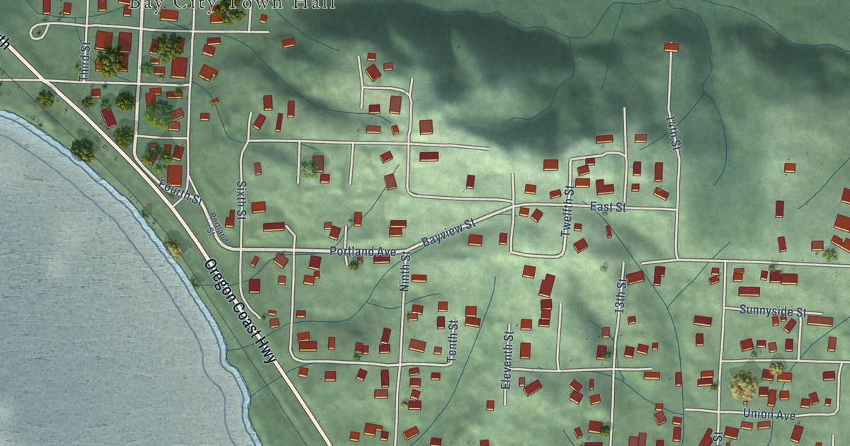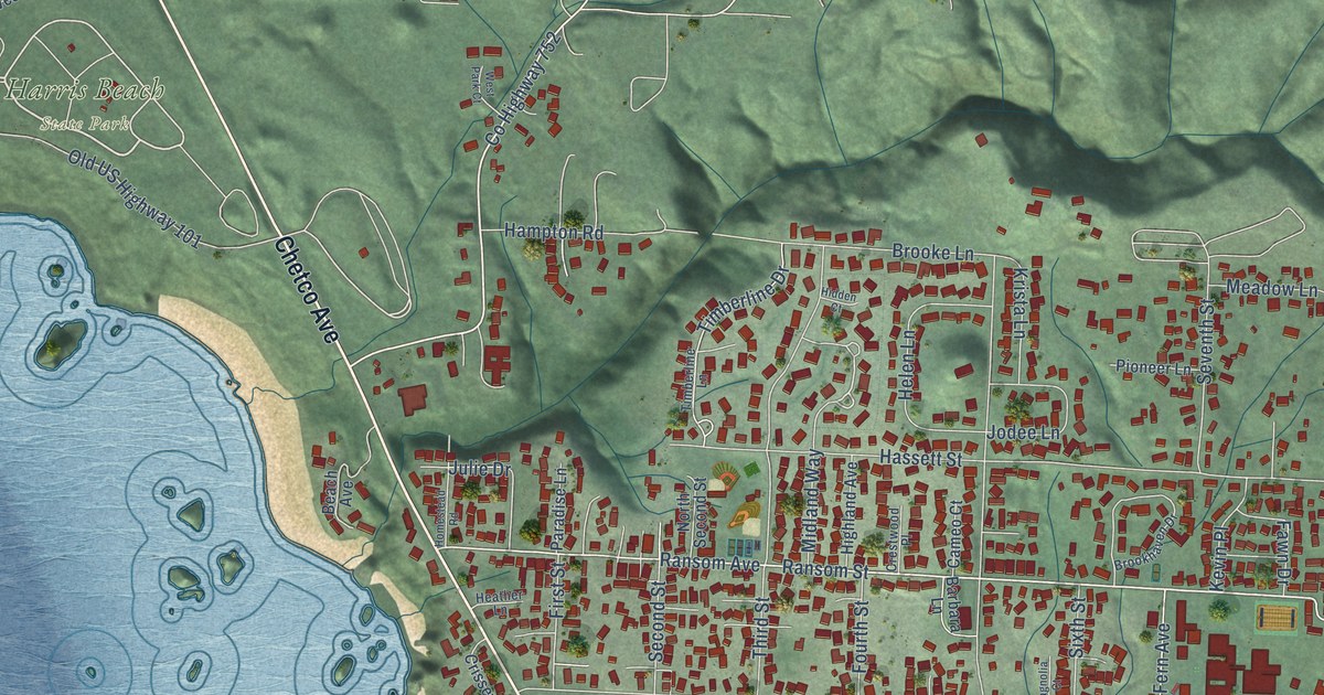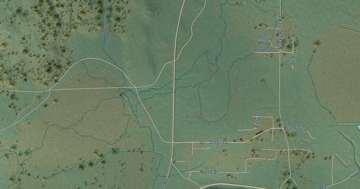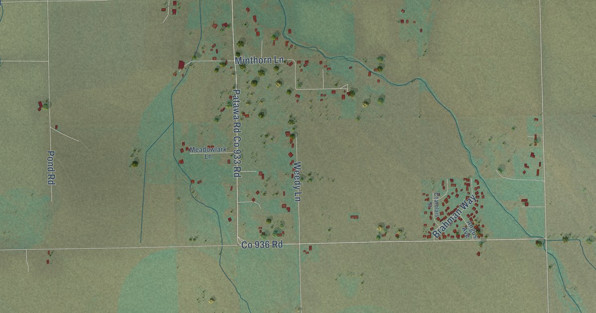
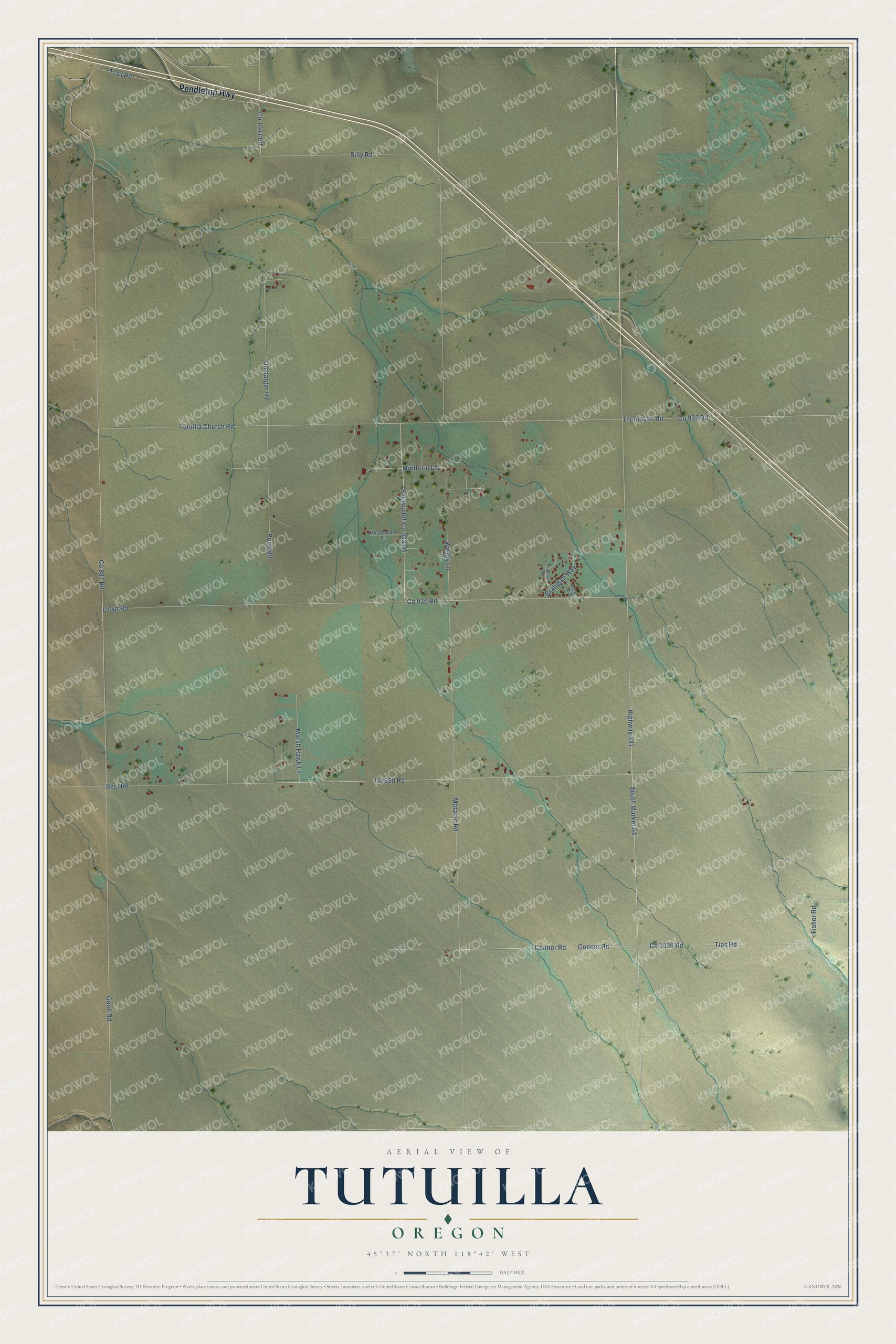
This beautifully detailed map of Tutuilla, Oregon was created in 2026 using aerial imagery combined with modern topographical, census, street and landmark data. It's a modern aerial view of Tutuilla in Umatilla County, Oregon, that combines modern data with a vintage aesthetic. The roads feature printed names, and if you look closely you can find your exact house accurately shown in its correct location.
Explore an aerial view of Tutuilla, Oregon
On this map you'll find Pendleton Highway, Conner Road, Connor Road, Tias Road, Fisher Road, Co 1026 Road, South Market Road, Tutuilla Church Road, Highway 331, Patawa Road, Co 936 Road, Goad Road, and more. Each red shape is a building, so zoom in on the preview and look for yours.
Tutuilla has a story worth telling. Residents of the Umatilla Indian Reservation have their own account of the name Tutuilla. A Native elder said the stream had been called Tutuilla Creek for several generations, and that tutuilla means a thorn bush that grows along its banks. A pioneer family credited a little girl nicknamed Toots with the name about 1870. It is quite possible that Native people named the stream first and settlers applied their own versions. That's from the Oregon Geographic Names book.
Tutuilla is a community in Umatilla County. The Census Bureau counted 448 people here in 2020.
Take a closer look at the Tutuilla map
Names on this map
These names are printed on this map.
Streets and roads: Pendleton Highway, Conner Road, Connor Road, Tias Road, Fisher Road, Co 1026 Road, South Market Road, Tutuilla Church Road, Highway 331, Patawa Road, Co 936 Road, Goad Road.
More street names, A to Z
Angus Avenue, Best Road, Billy Road, Brahman Way, Charolais Street, Co 932 Road, Co 933 Road, Co 950 Road, Co 987 Road, Co 1041 Road, Lloyd Road, Marsh Hawk Lane, Meadowlark Lane, Minthorn Lane, Motanic Road, Pond Road, Thompson Road, Trail Road, Umbarger Road, Weedy Lane.
See it on a wall
The Tutuilla map as a framed print. Swipe for more.


Created by KNOWOL in 2026. The buildings are small red shapes, the roads carry their printed names, and shaded relief shows the shape of the land. The title panel reads "AERIAL VIEW OF TUTUILLA, OREGON" with 45°37' NORTH 118°42' WEST.
It looks right in a kitchen, an office or a den, and it's a gift for anyone who grew up in Tutuilla or moved away. Open the preview and find your street. See sizes and frames for the Tutuilla map.