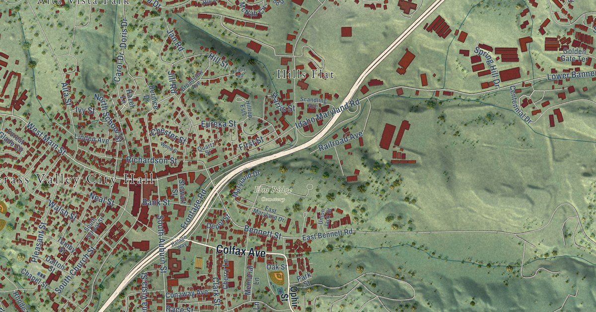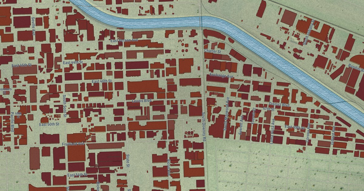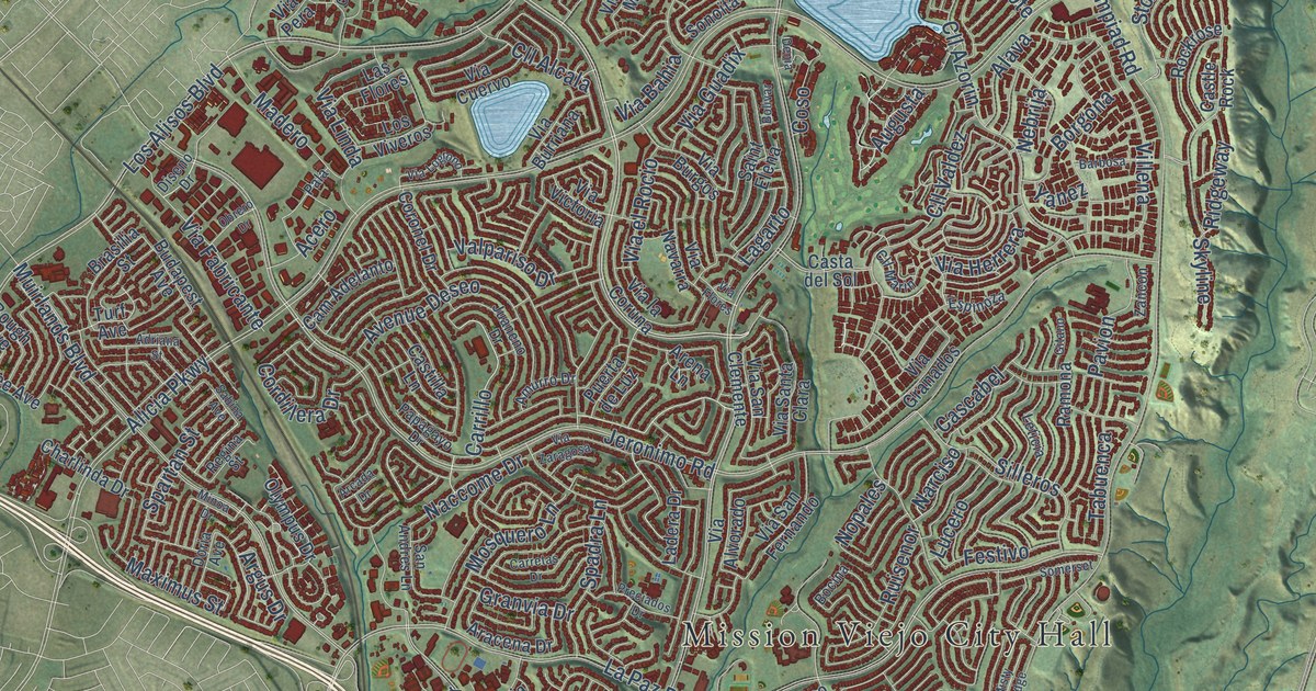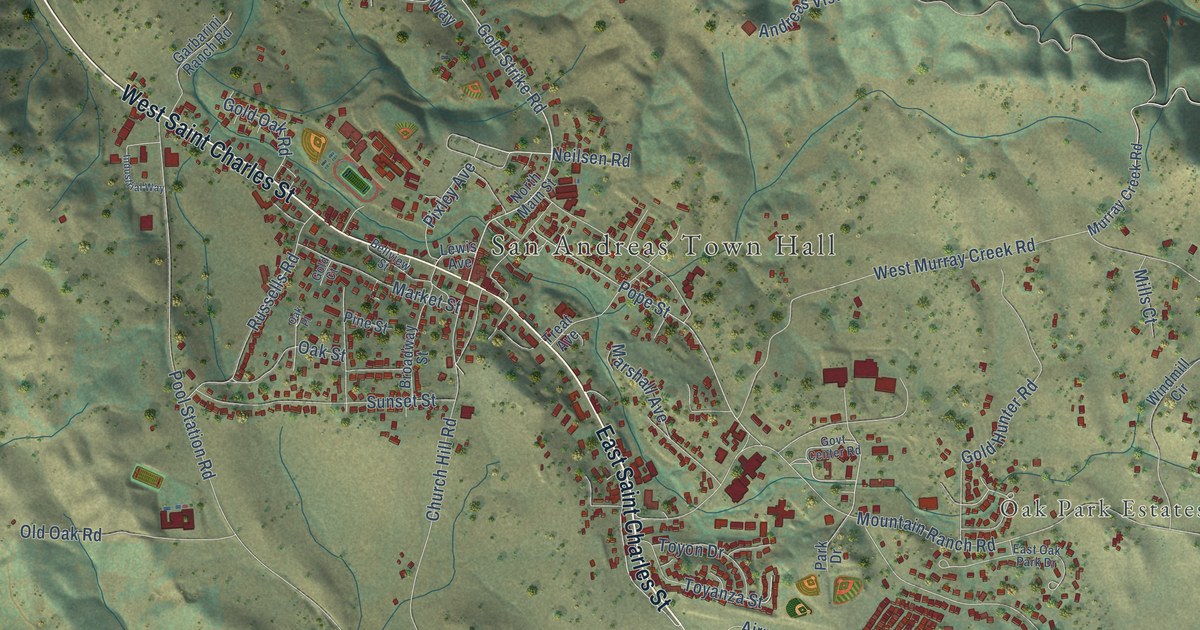
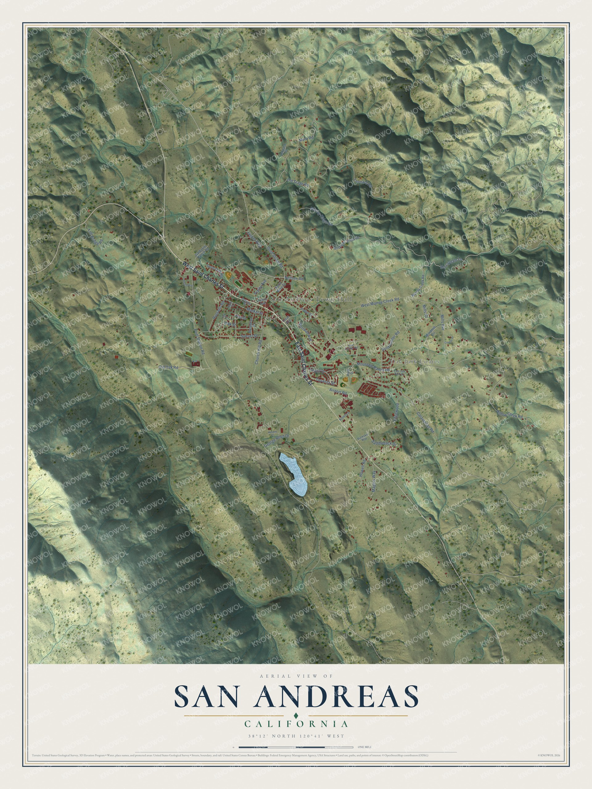
This beautifully detailed map of San Andreas, California was created in 2026 using aerial imagery combined with modern topographical, census, street and landmark data. It's a modern aerial view of San Andreas in Calaveras County, California, that combines modern data with a vintage aesthetic. The roads feature printed names, and if you look closely you can find your exact house accurately shown in its correct location.
Explore an aerial view of San Andreas, California
On this map you'll find San Andreas Town Hall, Oak Park Estates, East Saint Charles Street, West Saint Charles Street, Gold Strike Road, Pope Street, Murray Ridge Road, Pool Station Road, Mountain Ranch Road, Leonard Road, Calaveritas Road, Church Hill Road, and more. Each red shape is a building, so zoom in on the preview and look for yours.
San Andreas has a story worth telling. San Andreas was settled by Mexicans in 1848 and named after the Catholic parish of St. Andres. Gold from the ancient river channels and placer mines around it did much to help the Union win the Civil War. Fire destroyed the town on June 4, 1858, and in 1866 San Andreas became the seat of Calaveras County. That's from the California Office of Historic Preservation.
San Andreas is a community in Calaveras County. The Census Bureau counted 2,994 people here in 2020.
Take a closer look at the San Andreas map
Names on this map
These names are printed on this map.
Places: San Andreas Town Hall and Oak Park Estates.
Streets and roads: East Saint Charles Street, West Saint Charles Street, Gold Strike Road, Pope Street, Murray Ridge Road, Pool Station Road, Mountain Ranch Road, Leonard Road, Calaveritas Road, Church Hill Road, Andreas Vista Drive, West Murray Creek Road.
More street names, A to Z
Airport Road, Bellview Street, Broadway Street, Buckskin Way, Croatan Court, East Oak Park Drive, Edgewood, Garbarini Ranch Road, George Reed Drive, Gold Court, Gold Hunter Road, Gold Oak Road, Govt Center Road, Howell Road, Industrial Way, Jasper Way, Knief Lane, Leonard Court, Lewis Avenue, Magers Way, Market Street, Marshall Avenue, Mills Avenue, Mills Court, Moro Road, Murray Creek Road, Murraydale Lane, Neilsen Road, North Main Street, Oak Place, Oak Street, Old Oak Road, Old Stage Road, Park Drive, Pine Street, Pixley Avenue, Russells Road, Saddleback Drive, Sunset Street, Toll Bridge Road, Toyanza Street, Toyon Drive, Treat Avenue, Wendell Court, Willow Creek Road, Windmill Circle.
See it on a wall
The San Andreas map as a framed print. Swipe for more.


Created by KNOWOL in 2026. The buildings are small red shapes, the roads carry their printed names, and shaded relief shows the shape of the land. The title panel reads "AERIAL VIEW OF SAN ANDREAS, CALIFORNIA" with 38°12' NORTH 120°41' WEST.
It looks right in a kitchen, an office or a den, and it's a gift for anyone who grew up in San Andreas or moved away. Open the preview and find your street. See sizes and frames for the San Andreas map.